Elevation of Nature Dr, Hendersonville, NC, USA
Location: United States > North Carolina > Henderson County > Hendersonville >
Longitude: -82.437024
Latitude: 35.3775321
Elevation: 690m / 2264feet
Barometric Pressure: 93KPa
Elevation Map:
Satellite Map:
Related Photos:

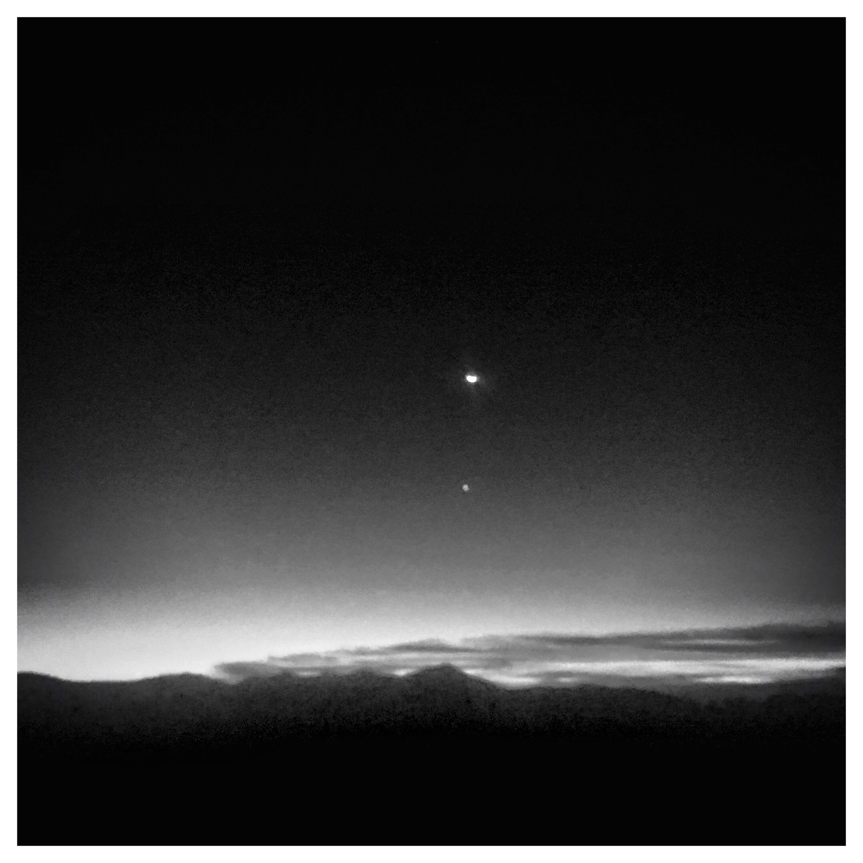
sunset 3-26-20

Island in the Fog

sunset 8-16-2017

Hunter lives the high life.

Hendersonville Bears 13 - Into The Wild

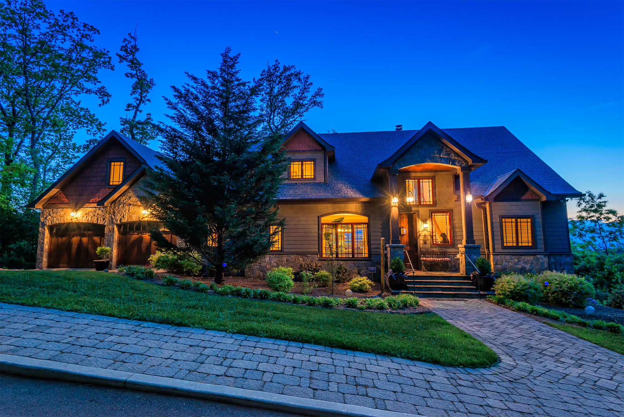
Asheville Real Estate Photography *EXPLORED*

Early December Sunset

Logs and Hay

Hay Bale II
Asheville Real Estate Photography (by Ken Lane)

Asheville Real Estate Photography (by Ken Lane)

Asheville Real Estate Photography (by Ken Lane)
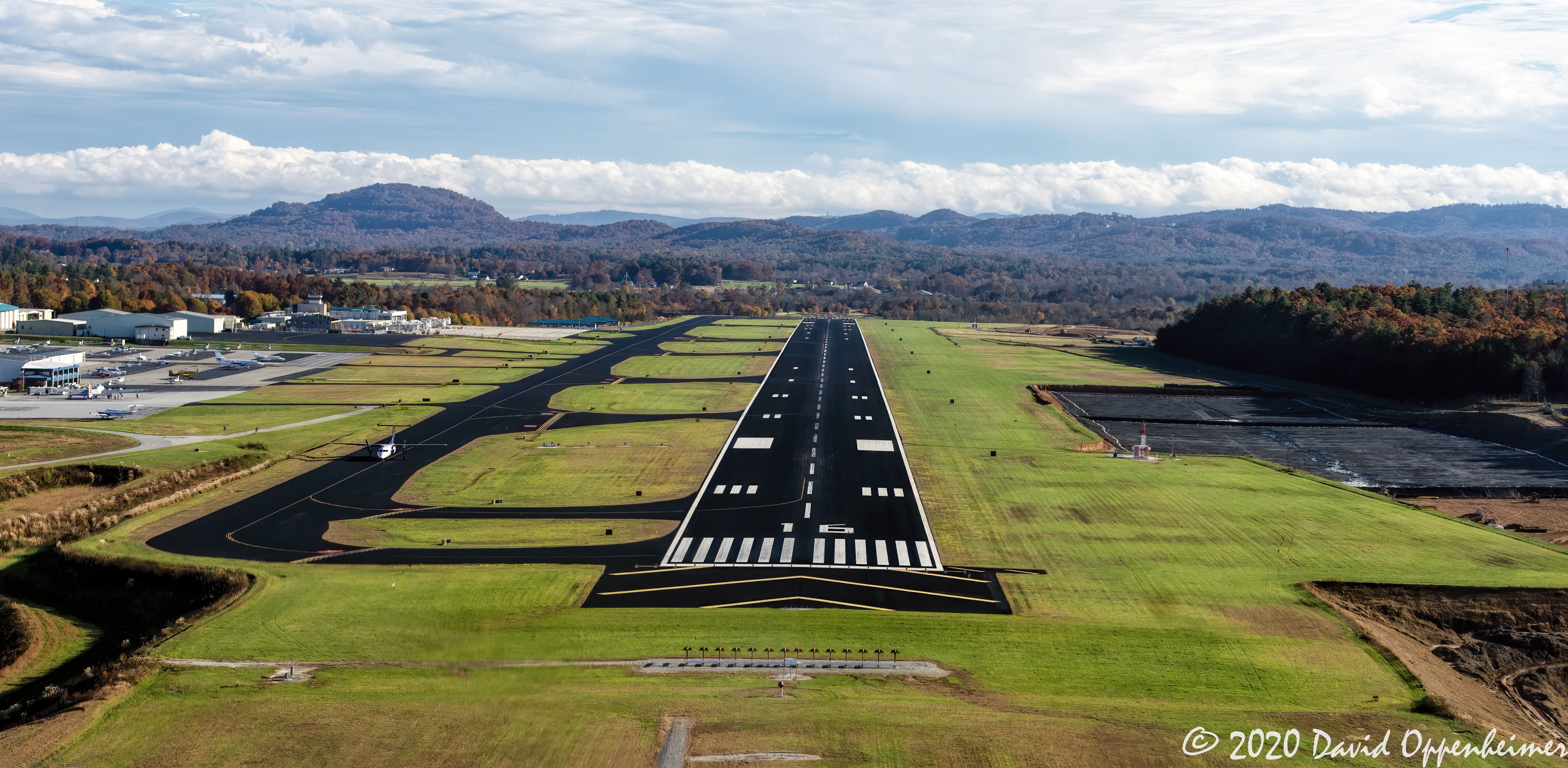
Asheville Regional Airport Runway 16 Landing Approach Aerial View

Asheville Real Estate Photography (by Ken Lane)

Asheville Real Estate Photography (by Ken Lane)
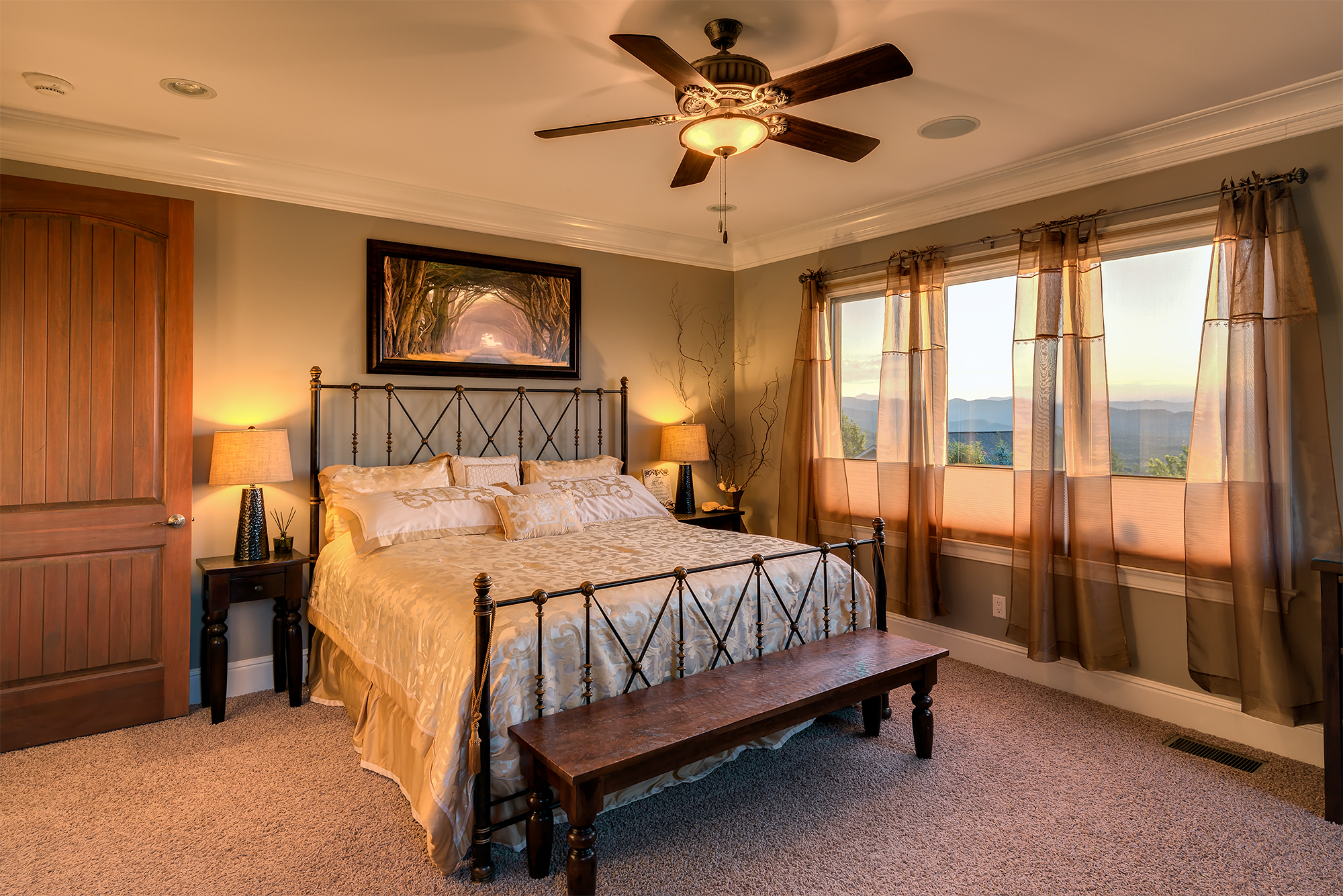
Asheville Real Estate Photography (by Ken Lane)
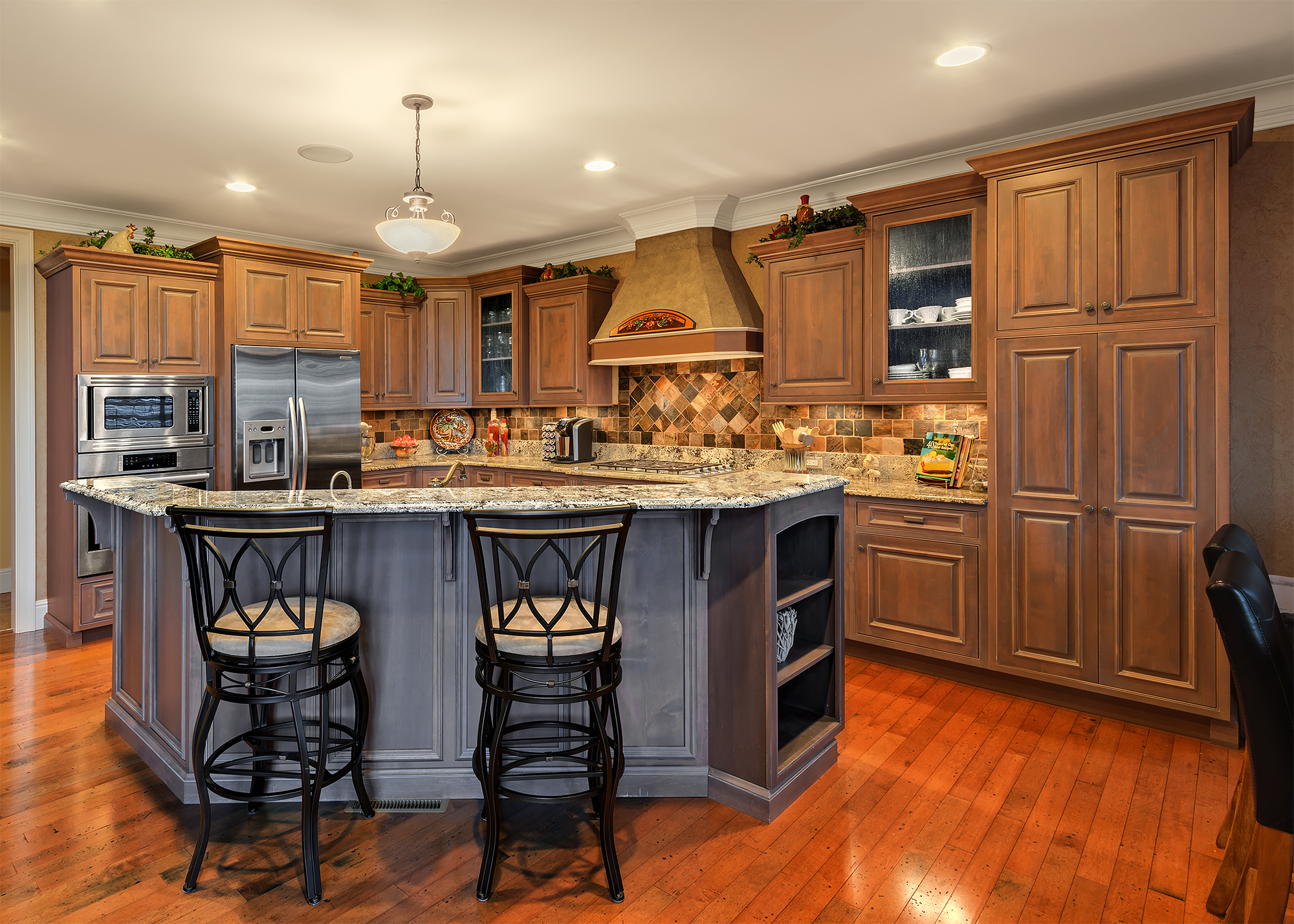
Asheville Real Estate Photography (by Ken Lane)

private parts

Asheville Real Estate Photography (by Ken Lane)

Flat Rock Village Hall

Sugarloaf Elementary School, Hendersonville, NC

Asheville, North Carolina

Bright's Creek Golf

Sunrise Tryon

8-6-19 Sunset

Low Key

Sunset at Bearwallow Mountain (Henderson County)

Sun Beam

Mountain Magenta

The Park At Flat Rock (Flat Rock, North Carolina)

The Carl Sandburg National Historic Site

First light

Morning Mist

Just You And Me -- Again

Sunrise at Mt Tryon
Good Morning

Fine Art

Shades of Brown

Carolina Dawn

A Distant Tradition
Topographic Map of Nature Dr, Hendersonville, NC, USA
Find elevation by address:

Places near Nature Dr, Hendersonville, NC, USA:
Henderson County
258 Bodges Ln
Carpenters Son Lane
120 Holly Tree Cir
34 Middle St
97 Virginia Loop Ln
Clear Creek
2322 Locust Grove Rd
170 Mandalay Dr
1957 Brookside Camp Rd
200 Sargeant Ln
130 Montchannin Heights
44 Loblin Ln
1 Apple Orchard Rd
22 Half Moon Trail
76 Clear Creekside Dr
35 Brittany Estates Cir
4 Stoney Nob Dr, Hendersonville, NC, USA
116 Falling Waters Rd #4
116 Falling Waters Rd
Recent Searches:
- Elevation of Corso Fratelli Cairoli, 35, Macerata MC, Italy
- Elevation of Tallevast Rd, Sarasota, FL, USA
- Elevation of 4th St E, Sonoma, CA, USA
- Elevation of Black Hollow Rd, Pennsdale, PA, USA
- Elevation of Oakland Ave, Williamsport, PA, USA
- Elevation of Pedrógão Grande, Portugal
- Elevation of Klee Dr, Martinsburg, WV, USA
- Elevation of Via Roma, Pieranica CR, Italy
- Elevation of Tavkvetili Mountain, Georgia
- Elevation of Hartfords Bluff Cir, Mt Pleasant, SC, USA