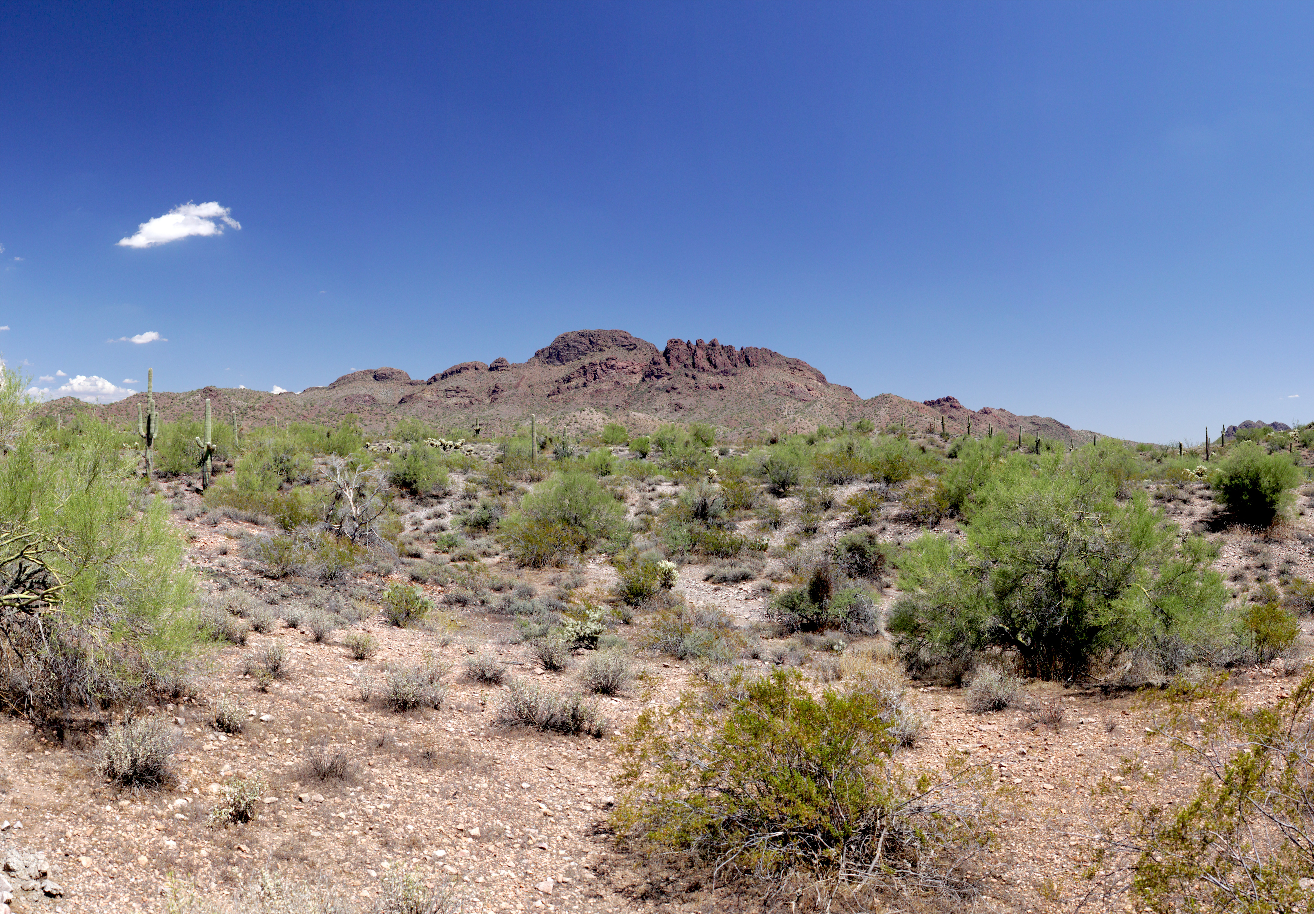
Elevation of Natural Arc TR, Wickenburg, AZ, USA
Location: United States > Arizona > Yavapai County > Wickenburg >
Longitude: -112.77892
Latitude: 33.932814
Elevation: 747m / 2451feet
Barometric Pressure: 93KPa
Elevation Map:
Satellite Map:
Related Photos:
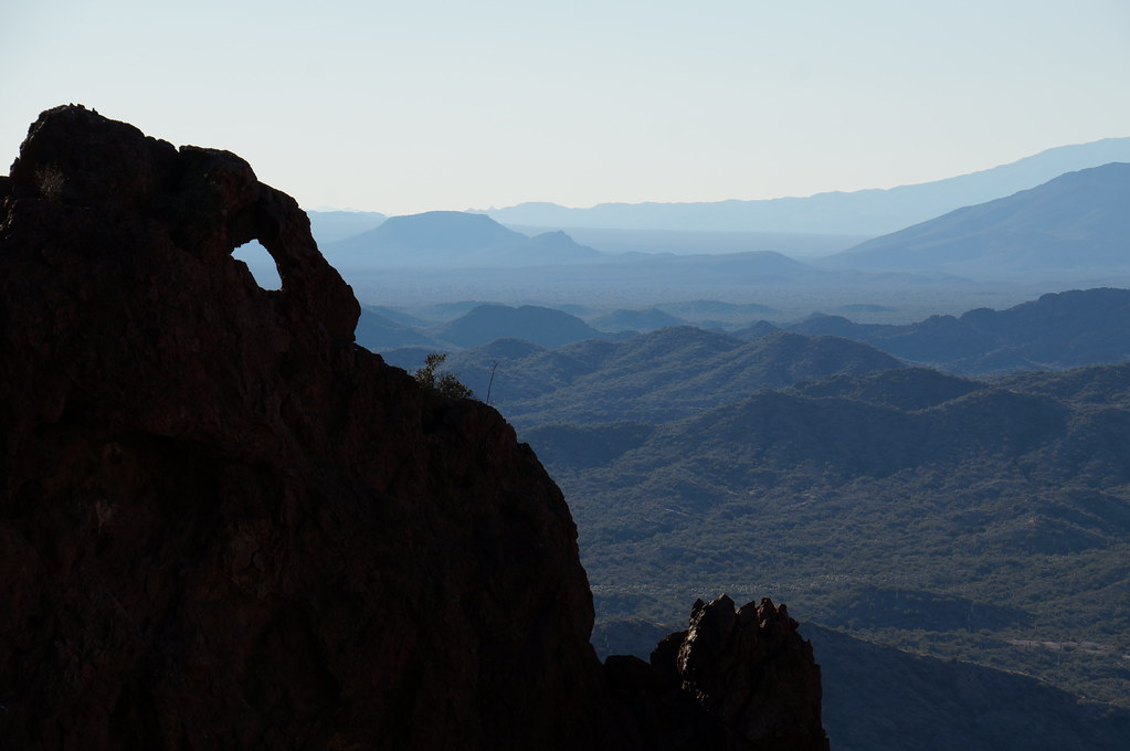
keeping watch
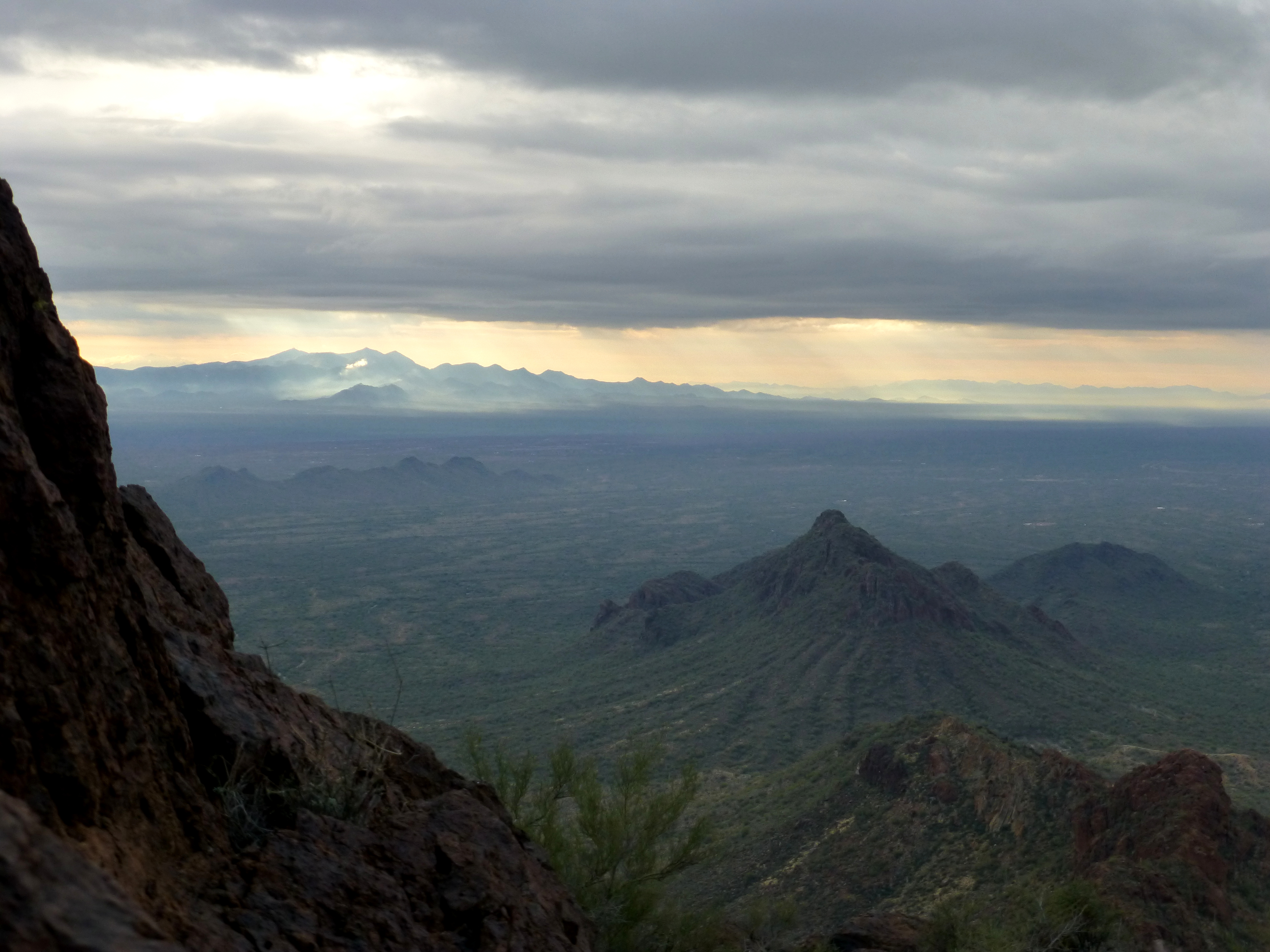
Vulture Peak View
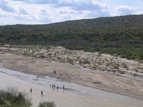
Down by the River - Por el rio
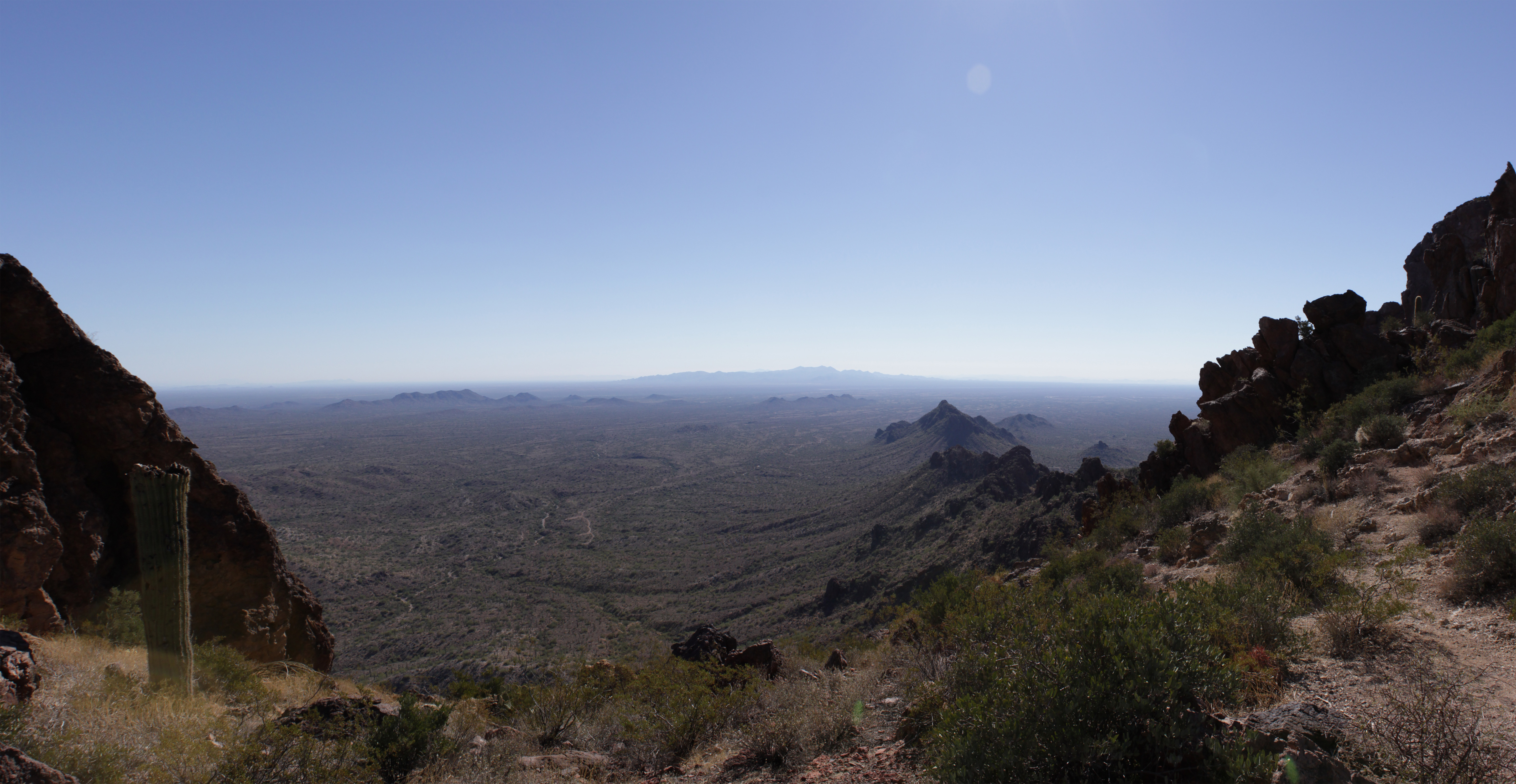
Vulture Peak (2)
Vulture Peak (1)
Topographic Map of Natural Arc TR, Wickenburg, AZ, USA
Find elevation by address:

Places near Natural Arc TR, Wickenburg, AZ, USA:
Rancho De Los Caballeros
1468 Thrasher Ln
895 S Yaqui Dr
1110 Kellis Rd
1660 W Eucalyptus Dr
1660 W Eucalyptus Dr
Las Casitas San Juan
505 Sierra Vista Dr
50 Howard Ct
Northridge Villas
35 Northridge Cir
Wickenburg
West Verde Hills Drive
W Coyote Gulch, Wickenburg, AZ, USA
Wickenburg Ranch Golf & Social Club
Wickenburg Ranch
Wickenburg Ranch Golf Course
4475 Covered Wagon Trail
Date Creek Road
21280 W Vista Royale Dr
Recent Searches:
- Elevation of Corso Fratelli Cairoli, 35, Macerata MC, Italy
- Elevation of Tallevast Rd, Sarasota, FL, USA
- Elevation of 4th St E, Sonoma, CA, USA
- Elevation of Black Hollow Rd, Pennsdale, PA, USA
- Elevation of Oakland Ave, Williamsport, PA, USA
- Elevation of Pedrógão Grande, Portugal
- Elevation of Klee Dr, Martinsburg, WV, USA
- Elevation of Via Roma, Pieranica CR, Italy
- Elevation of Tavkvetili Mountain, Georgia
- Elevation of Hartfords Bluff Cir, Mt Pleasant, SC, USA