Elevation of Naseby, New Zealand
Location: New Zealand > Otago > Central Otago District >
Longitude: 170.147877
Latitude: -45.023489
Elevation: 588m / 1929feet
Barometric Pressure: 94KPa
Elevation Map:
Satellite Map:
Related Photos:

View from Mt.Buster, Otago, New Zealand
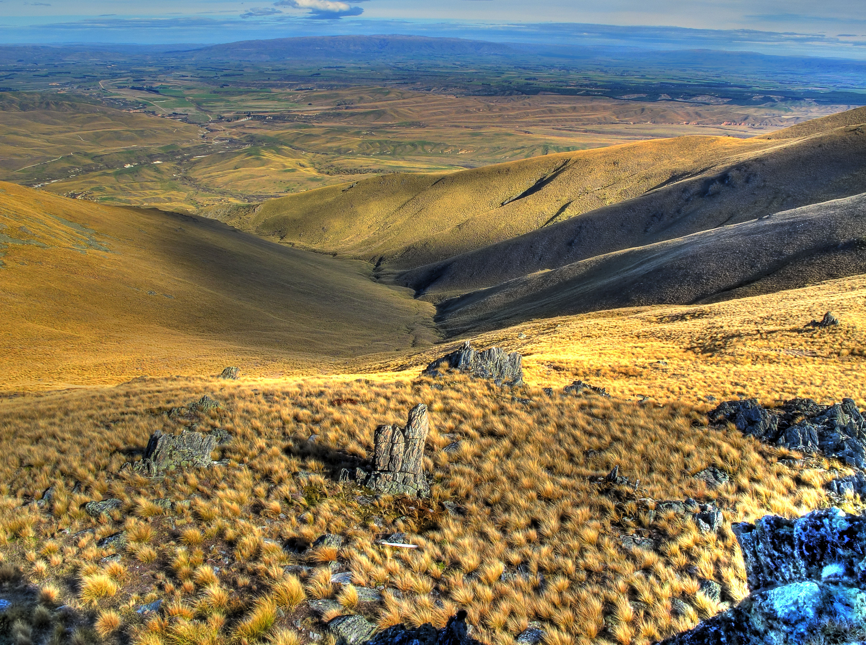
View from Mt.Buster, Otago, New Zealand
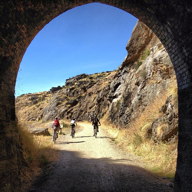
A view out the Poolburn Tunnel. We cycled 38km of the Otago Rail Trail #newzealand

View from Mt.Buster, Otago, New Zealand

Morning rehab shoulder exercises with a view
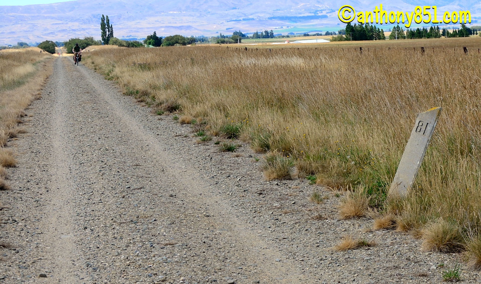
81 Mile Peg

To the hills
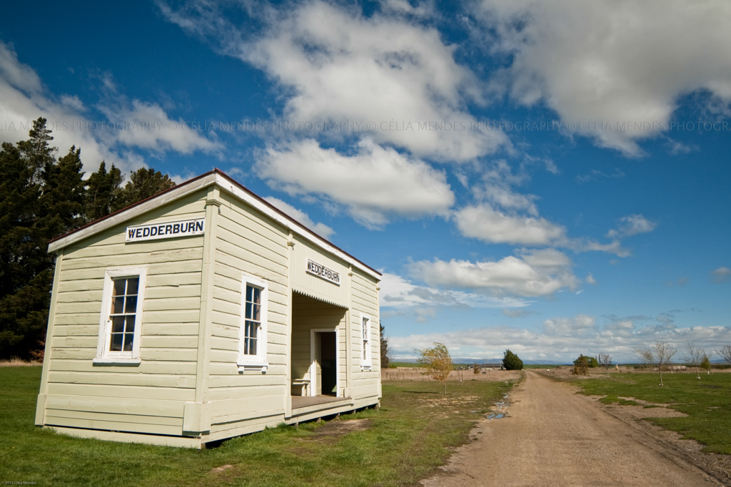
Old Vogel 5 railway station and ticket office, Wedderburn, Maniototo, Otago, New Zealand, Oct 2012
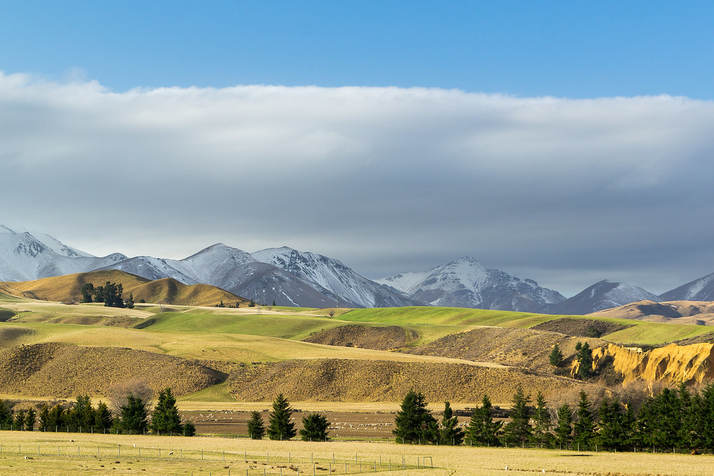
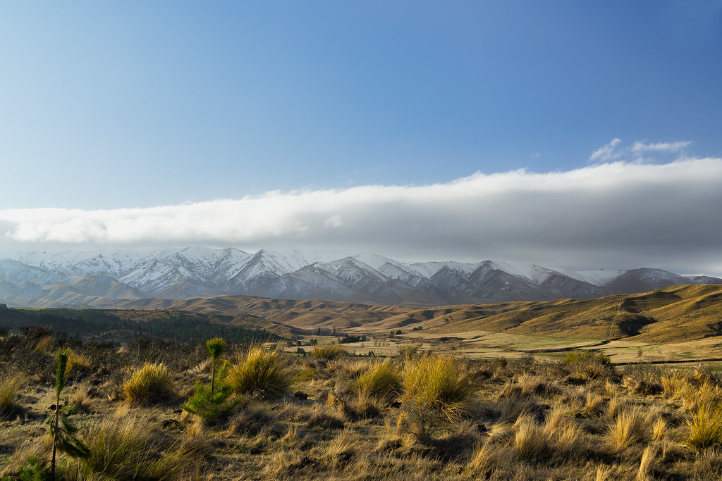
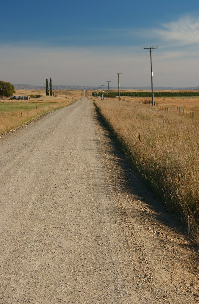
Central Otago Farmland
Central Otago Farmland lll

Central Otago Farmland ll
4 Cottages

Mountain Spotlight
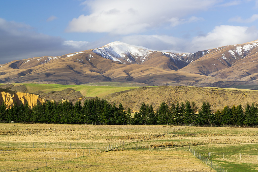
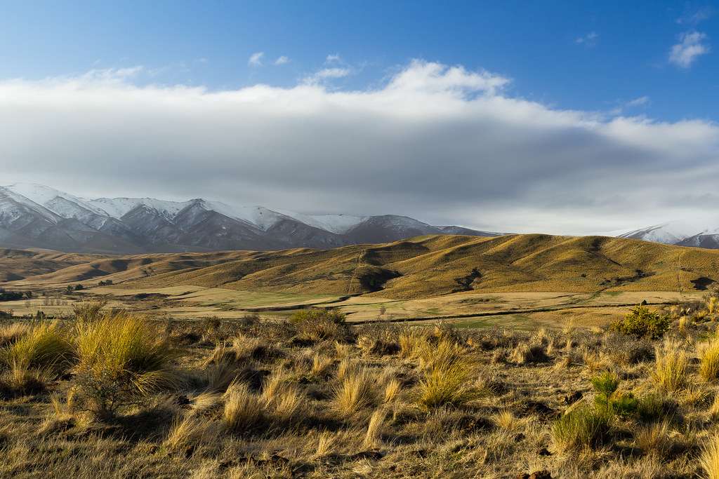
Late Afternoon Central Otago ll
Late Afternoon Central Otago

Naseby Sluicings
Kye Burn lll

Coal Pit Pines IR
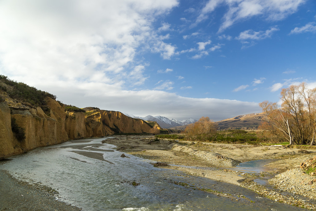
Kye Burn
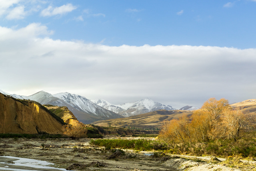
Late Afternoon Central Otago lll
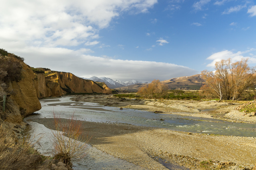
Kye Burn ll

German Creek
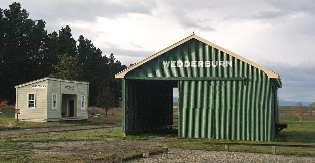
Wedderburn goods shed (c.1921)

Tree Apart
Beyond Wedderburn...
Topographic Map of Naseby, New Zealand
Find elevation by address:

Places in Naseby, New Zealand:
Places near Naseby, New Zealand:
26 Oughter St
Naseby
Ranfurly
Wedderburn
Lauder
Middlemarch
Ophir
Central Otago District
Springvale
659 Springvale Rd
153 Tarbert St
19 Ngapara St
16 Kerry Street
Chicago Street
75 Mcarthur Rd
75 Mcarthur Rd
75 Russell St
Fulton Hogan Central
9 Ventry St
Bringans Street
Recent Searches:
- Elevation of Corso Fratelli Cairoli, 35, Macerata MC, Italy
- Elevation of Tallevast Rd, Sarasota, FL, USA
- Elevation of 4th St E, Sonoma, CA, USA
- Elevation of Black Hollow Rd, Pennsdale, PA, USA
- Elevation of Oakland Ave, Williamsport, PA, USA
- Elevation of Pedrógão Grande, Portugal
- Elevation of Klee Dr, Martinsburg, WV, USA
- Elevation of Via Roma, Pieranica CR, Italy
- Elevation of Tavkvetili Mountain, Georgia
- Elevation of Hartfords Bluff Cir, Mt Pleasant, SC, USA