Elevation of Narragansett Dr, Byrnes Mill, MO, USA
Location: United States > Missouri > Jefferson County > High Ridge Township > Byrnes Mill >
Longitude: -90.567840
Latitude: 38.4388245
Elevation: 169m / 554feet
Barometric Pressure: 99KPa
Elevation Map:
Satellite Map:
Related Photos:
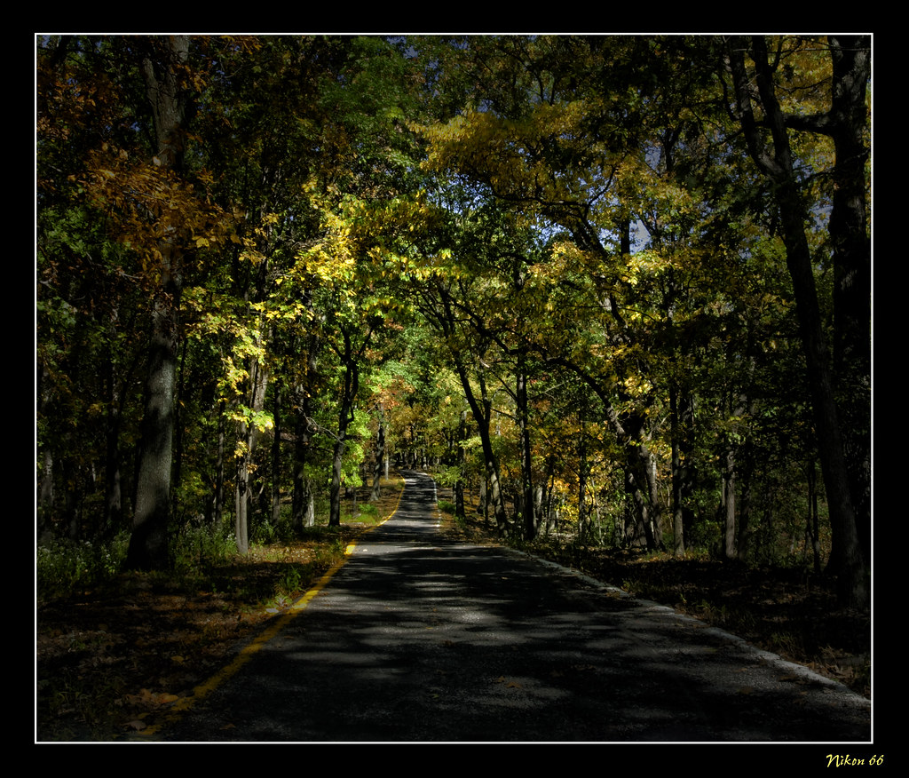
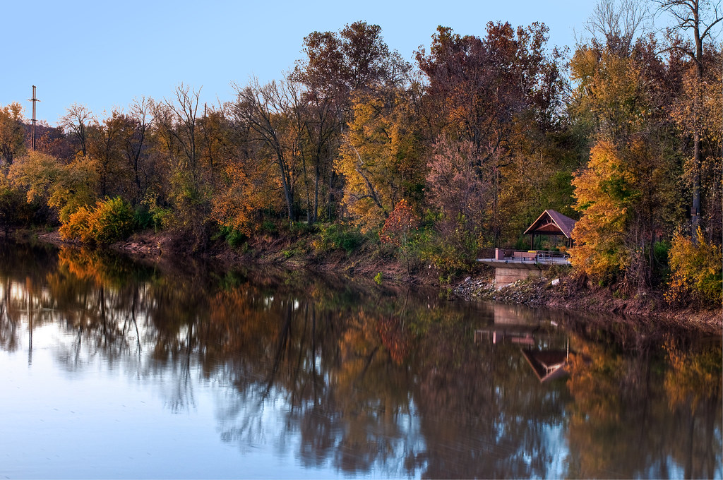
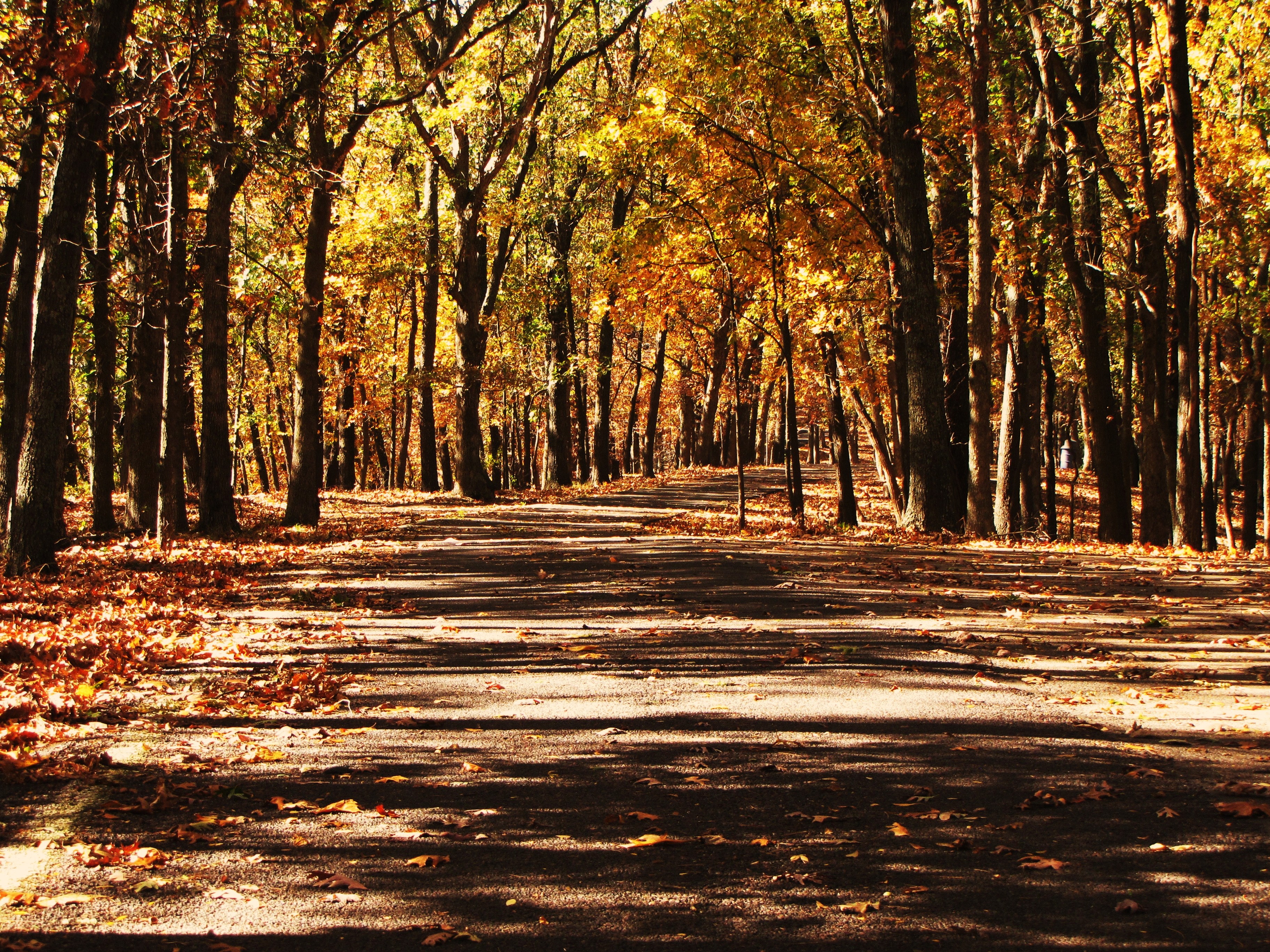
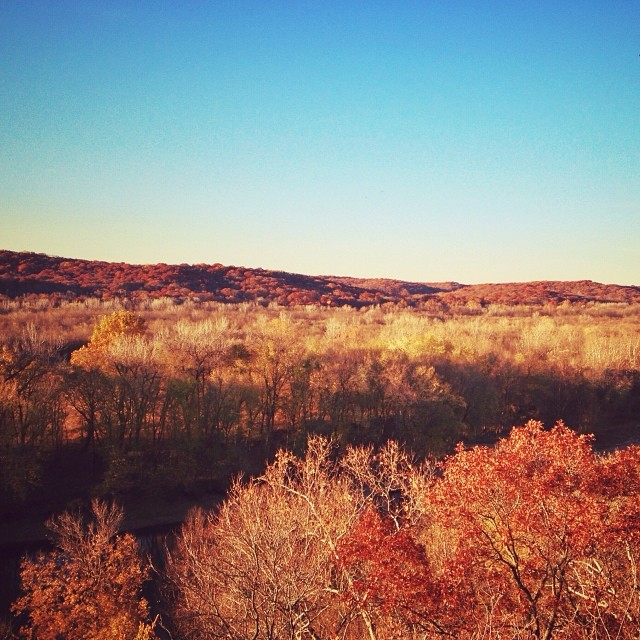
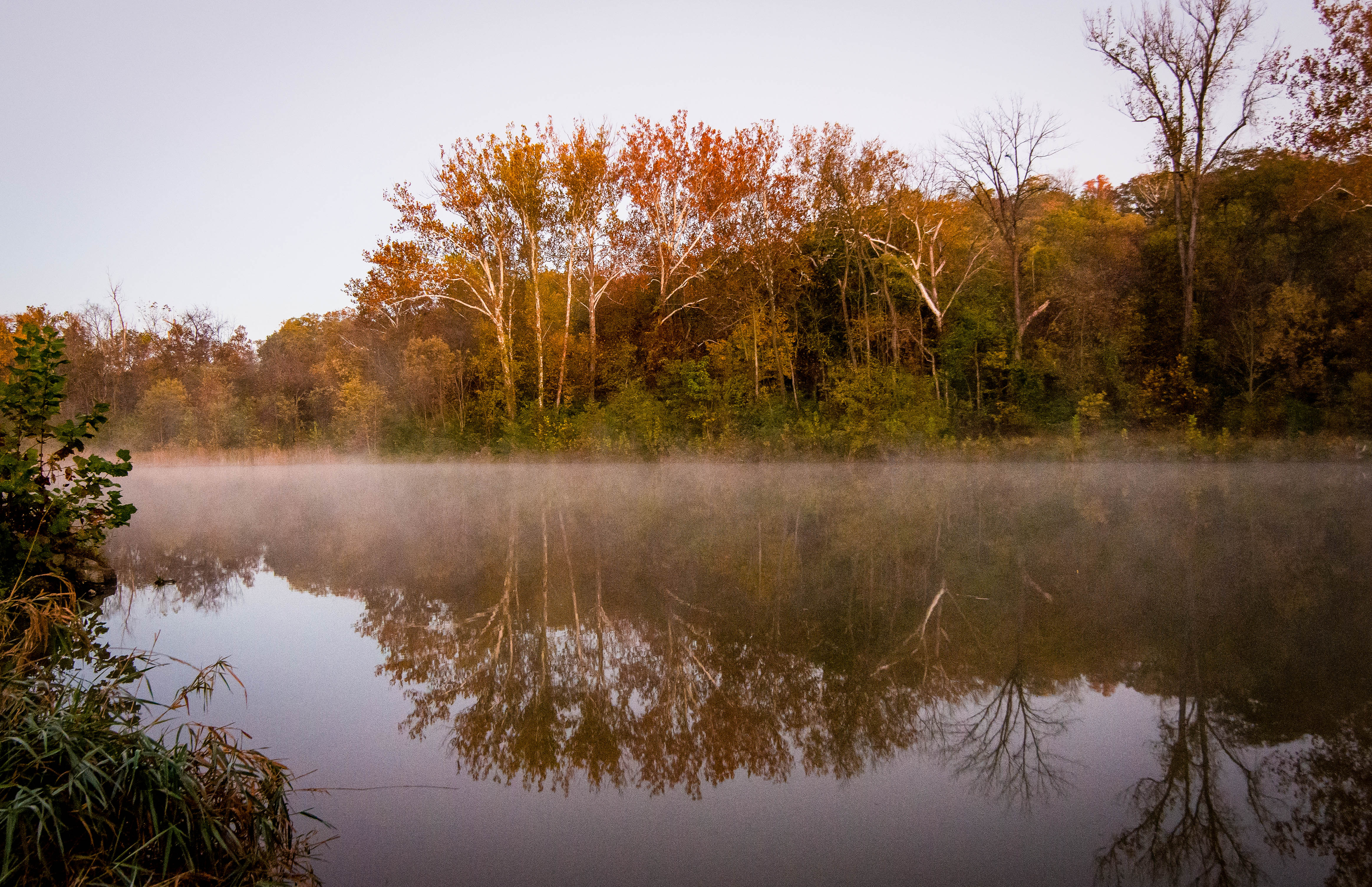
Fall in Missouri
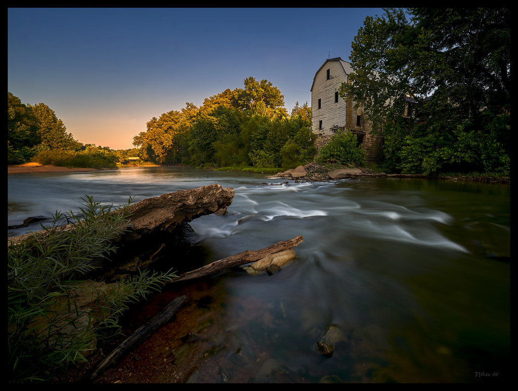
Cedar Hill Mill - No. 1

Anthers on Crown and Stigma Above_DSC8638

I Wonder if the Caterpillar is Worried_DSC3591

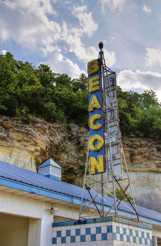
The old Beacon Court's neon, on Route 66 at Pacific, Missouri
The old Beacon Court's neon, on Route 66 at Pacific, Missouri

Chickadee on a Rope
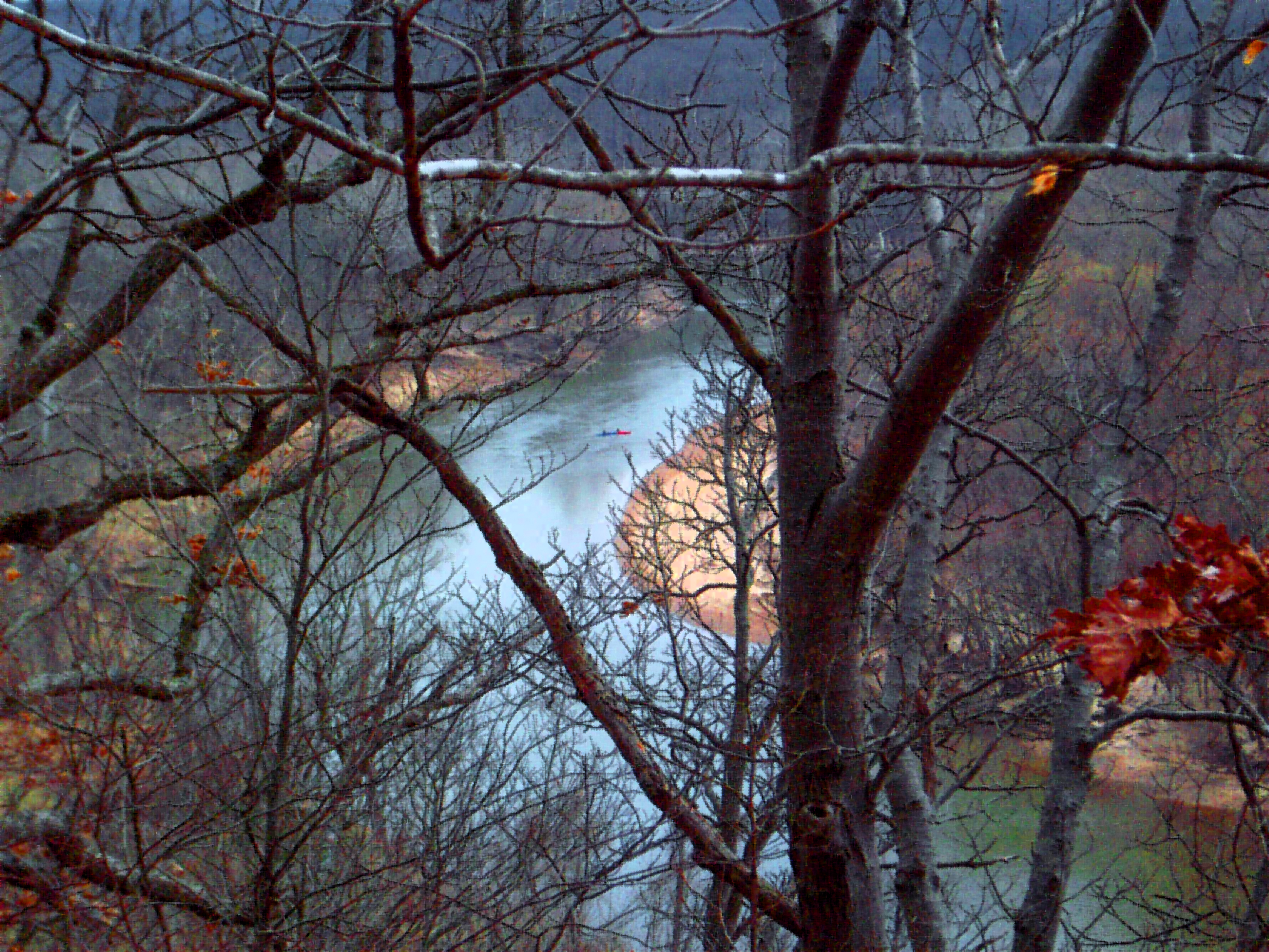
Through the trees
Meramec River from Fenton Bridge
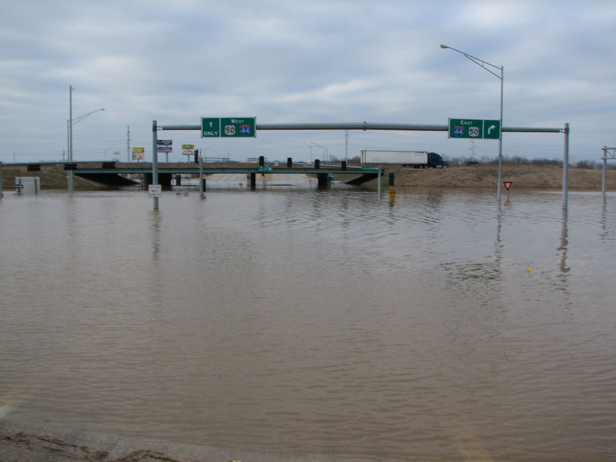
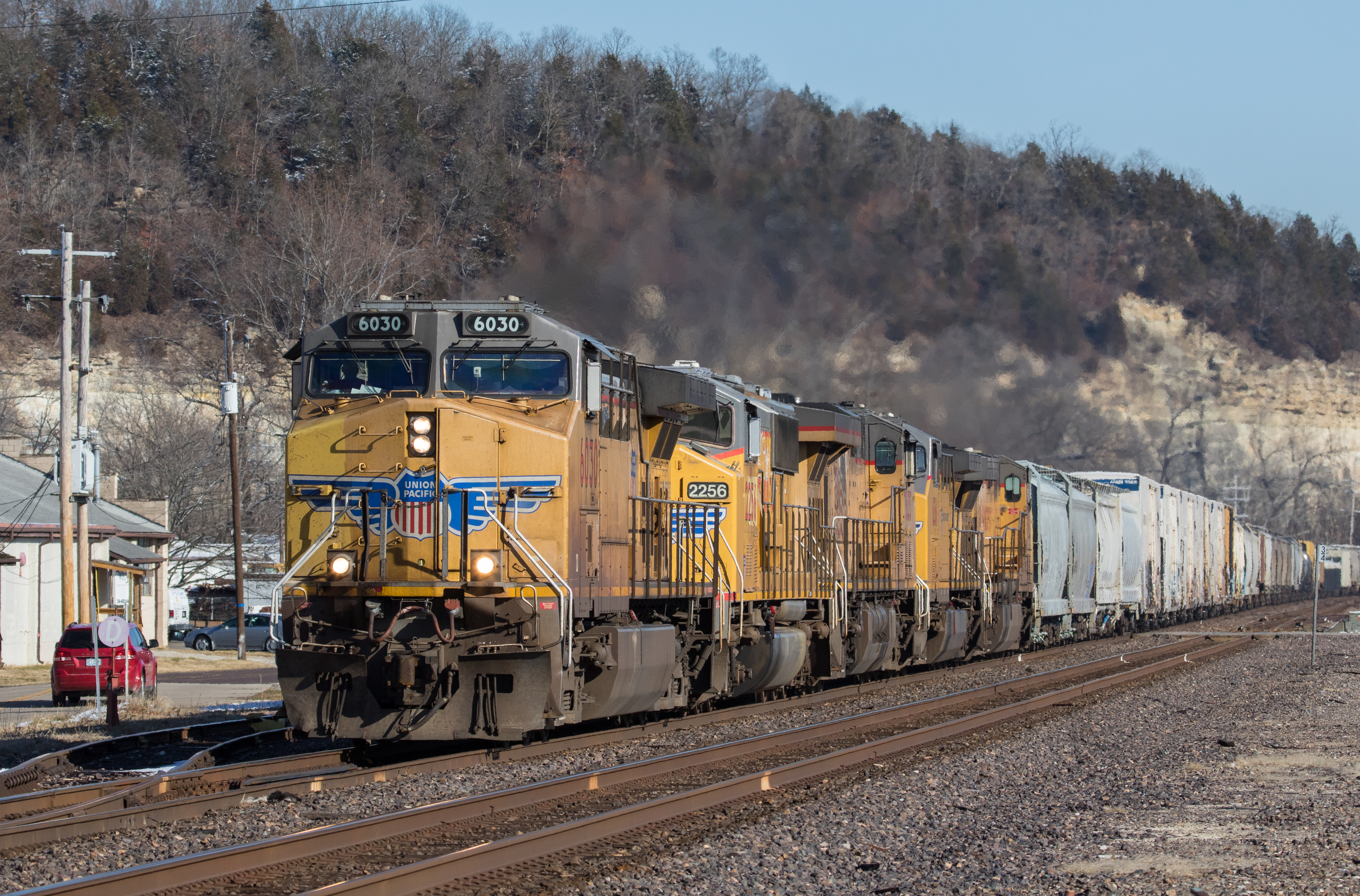
View Of Interstate 44 Over Highway 141 That Was Flooded By The Meramec River March 2008

Snowy Ozarks view

Leave Out All The Rest

View from a secret window at church...
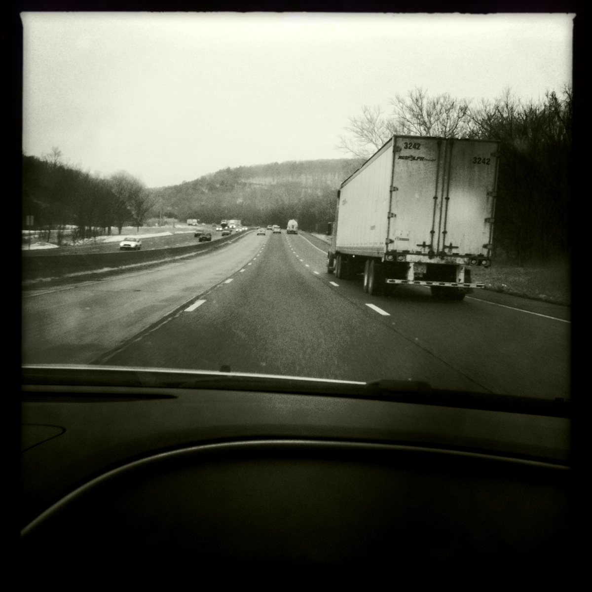
Passenger Side View, Highway 44

Pretty noon view at church
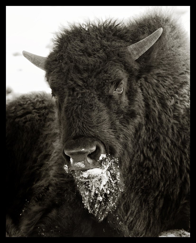
Bison Portrait in Snow

Polish Chicken at World Bird Sanctuary - No 1

Golden Eagle at World Bird Sanctuary - No 3

Eagle Staring into Water

American Kestrel - Close-Up
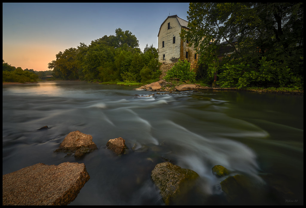
Cedar Hill Mill - No. 3
A Peaceful Walk
Worth It

Lone Elk Park Lake
Taking in the view before scrambling down the precarious, slippery, loose rock bluffs of Castlewood for the first time in years... it's still kinda scary. #birthdayhike #funhogging

Left 4 Dead
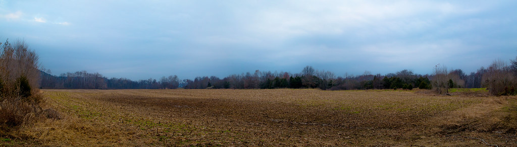
Barren field
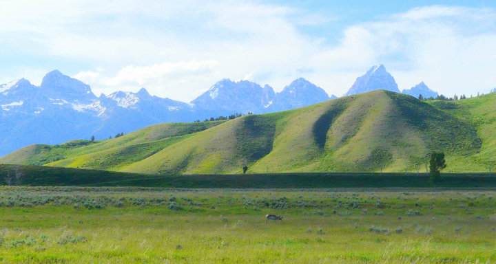
Yellowstone and Grand Tetons
Sunset @Park #5
Forest Staley Park
#missourivibes

Lone Elk Park Lake
La_Barque 2

IMG_2819_edited-1.JPG

Old Soul

"He said that among men there was no such communion as among horses and the notion that men can be understood at all was probably an illusion." - C.M.
AASNP 23
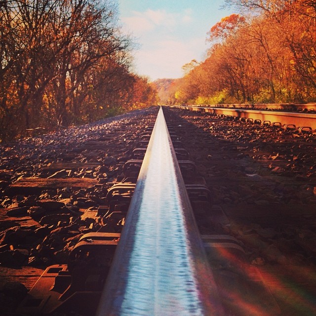
This is the second Instagram of train tracks I've ever taken. Every time I see a picture of train tracks it reminds me of college photo class, where train tracks and power lines are pretty much the only pictures you take.
Break of Day
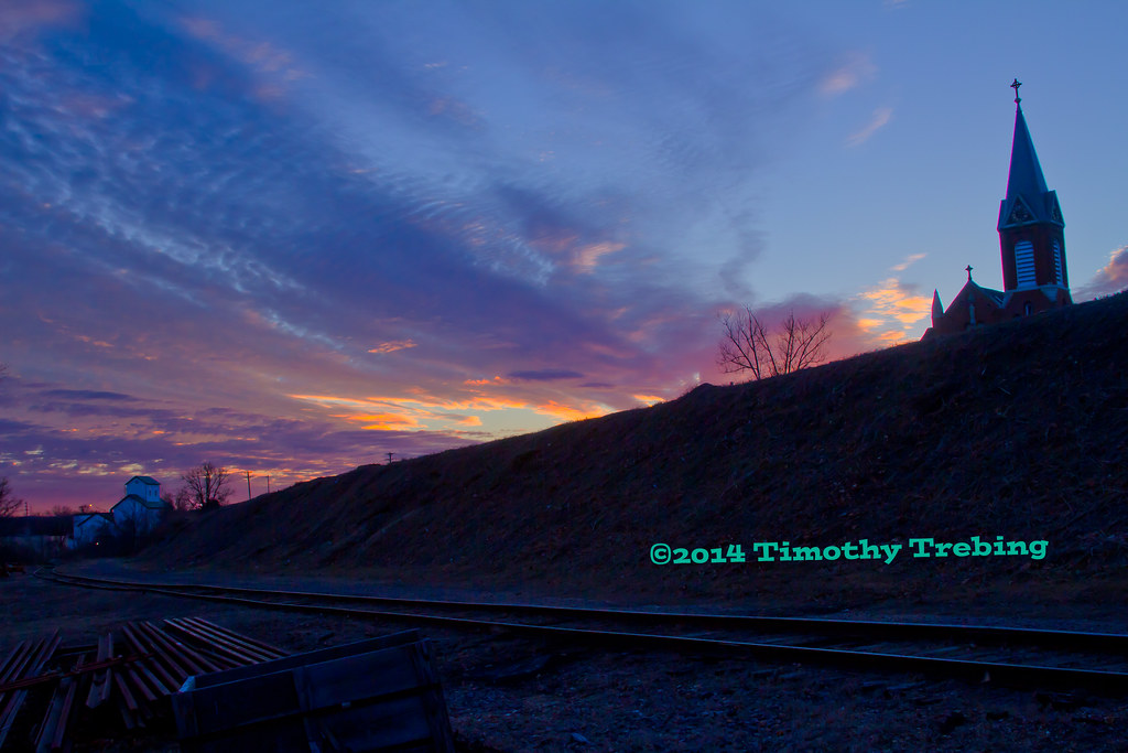
Sunset w/Church #2

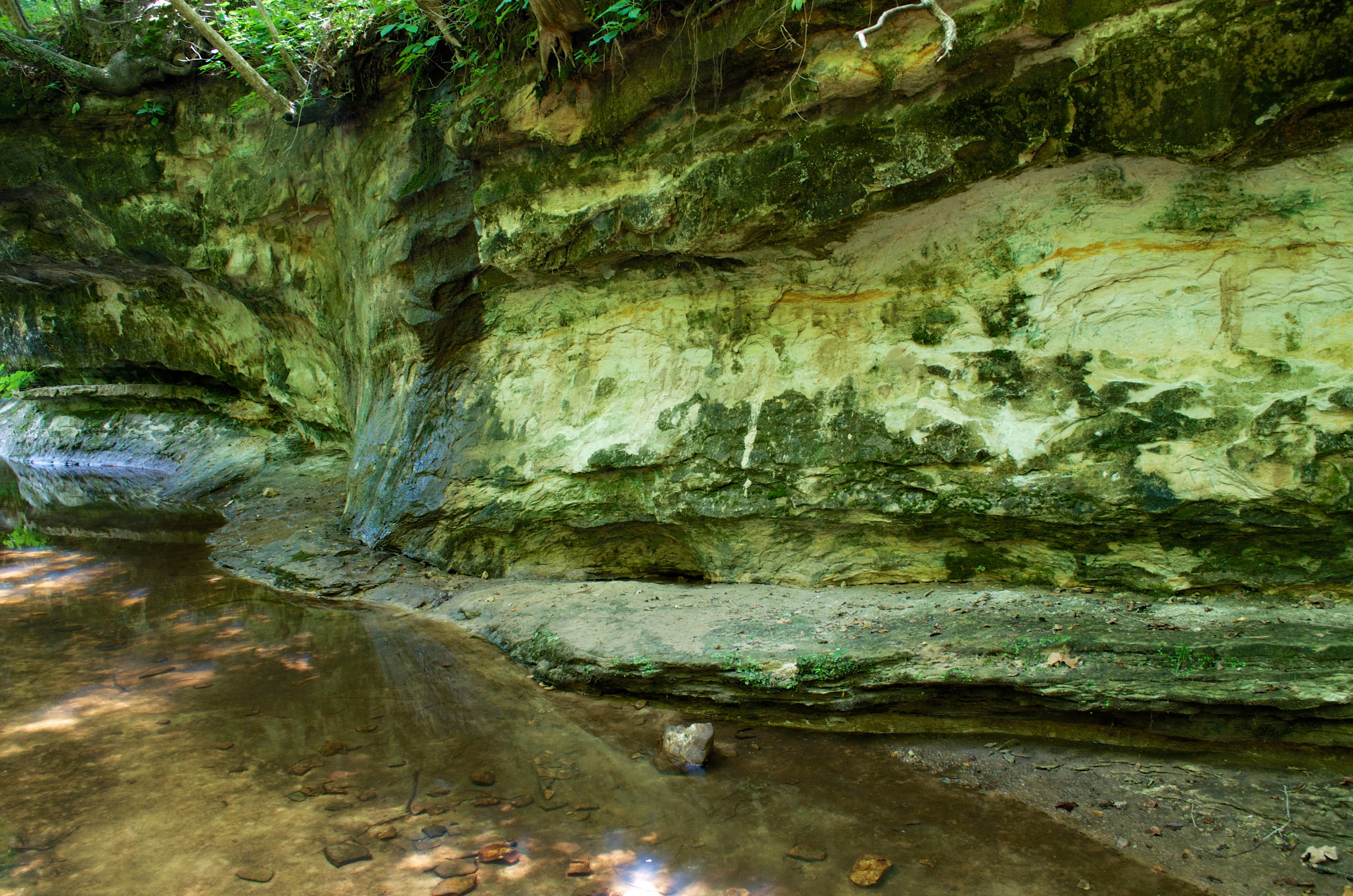
Labarque falls

Castlewood State Park
Topographic Map of Narragansett Dr, Byrnes Mill, MO, USA
Find elevation by address:

Places near Narragansett Dr, Byrnes Mill, MO, USA:
Silverstone Trails Dr, Byrnes Mill, MO, USA
Byrnes Mill
3408 High Ridge Blvd
House Springs
High Ridge Township
High Ridge
4816 Woodridge Dr
Wedgewood Drive
5433 Old Hunning Rd
5433 Old Hunning Rd
4600 Hidden Acres
4145 W 4 Ridge Rd
5433 Hunning Rd
3693 Rock Creek Rd
4020 W 4 Ridge Rd
6098 Timber Hollow Ln
7171 Whippoorwill Hill Dr
5305 Hunning Rd
Big River View, Eureka, MO, USA
Rock Creek Road
Recent Searches:
- Elevation of Corso Fratelli Cairoli, 35, Macerata MC, Italy
- Elevation of Tallevast Rd, Sarasota, FL, USA
- Elevation of 4th St E, Sonoma, CA, USA
- Elevation of Black Hollow Rd, Pennsdale, PA, USA
- Elevation of Oakland Ave, Williamsport, PA, USA
- Elevation of Pedrógão Grande, Portugal
- Elevation of Klee Dr, Martinsburg, WV, USA
- Elevation of Via Roma, Pieranica CR, Italy
- Elevation of Tavkvetili Mountain, Georgia
- Elevation of Hartfords Bluff Cir, Mt Pleasant, SC, USA