Elevation of Nanty-Glo, PA, USA
Location: United States > Pennsylvania > Cambria County >
Longitude: -78.833357
Latitude: 40.4722936
Elevation: 534m / 1752feet
Barometric Pressure: 95KPa
Elevation Map:
Satellite Map:
Related Photos:
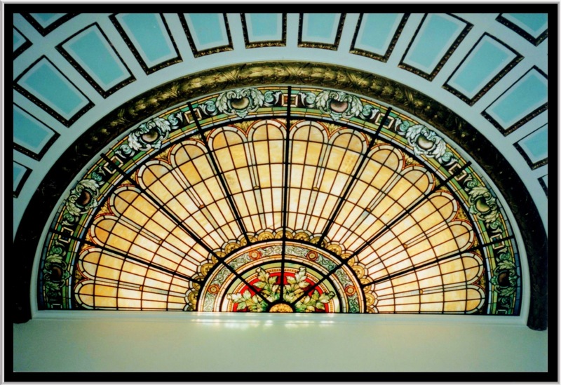
Ebensberg PA ~ Cambria Courthouse PA ~ Dome
Johnstown Flood National Memorial

Ebensberg PA ~ Cambria Courthouse PA ~ Dome
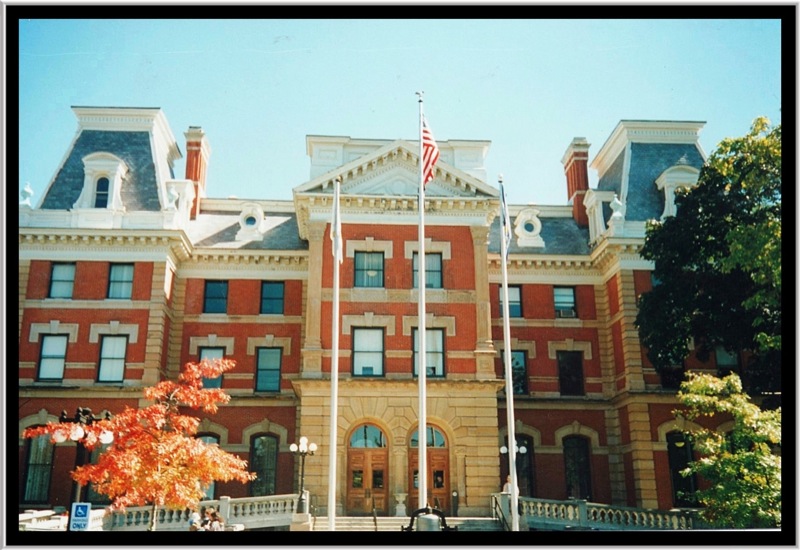
Ebensberg PA ~ Cambria Courthouse PA

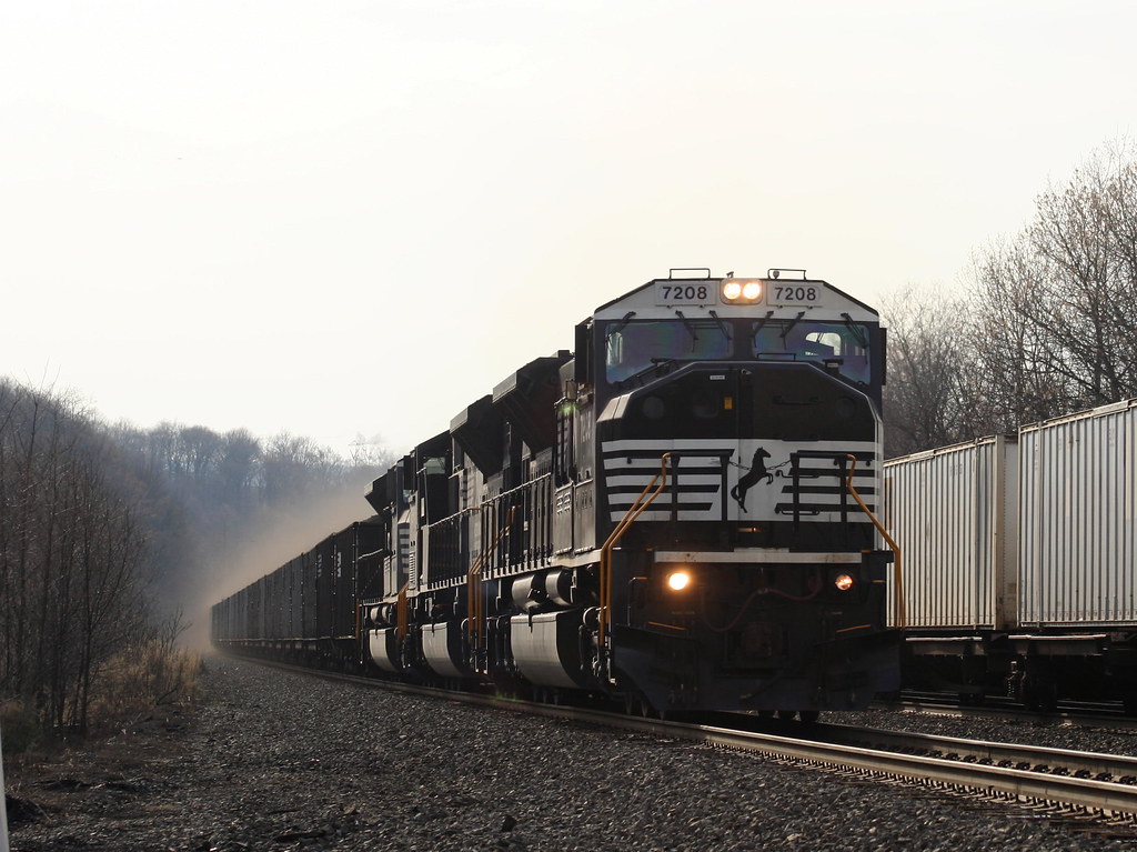
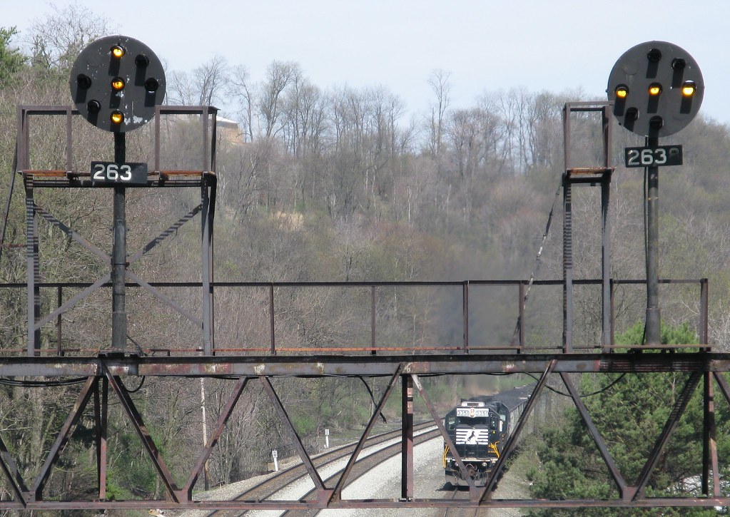
NS Eastbound @ Portage, PA
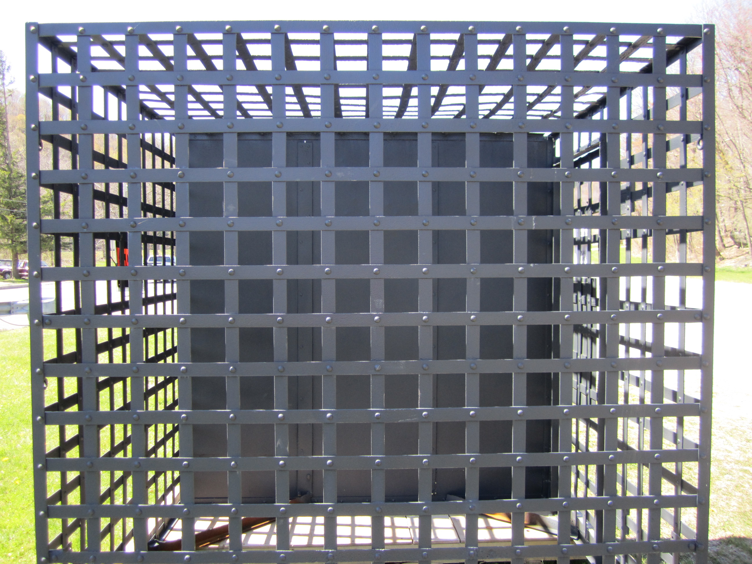
Jail cell side view

Ebensberg PA ~ Cambria Courthouse PA ~ Mural ~Justice
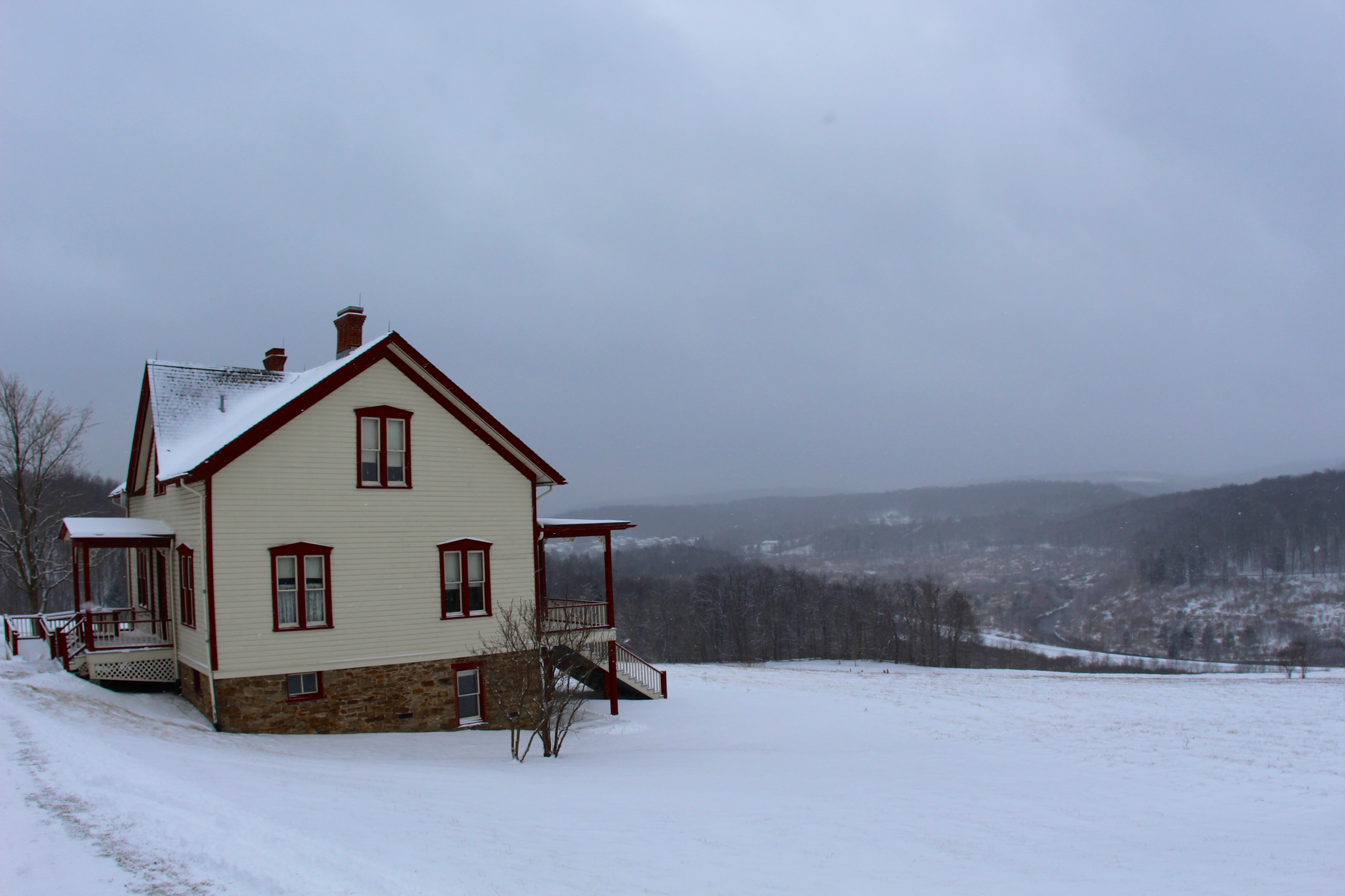
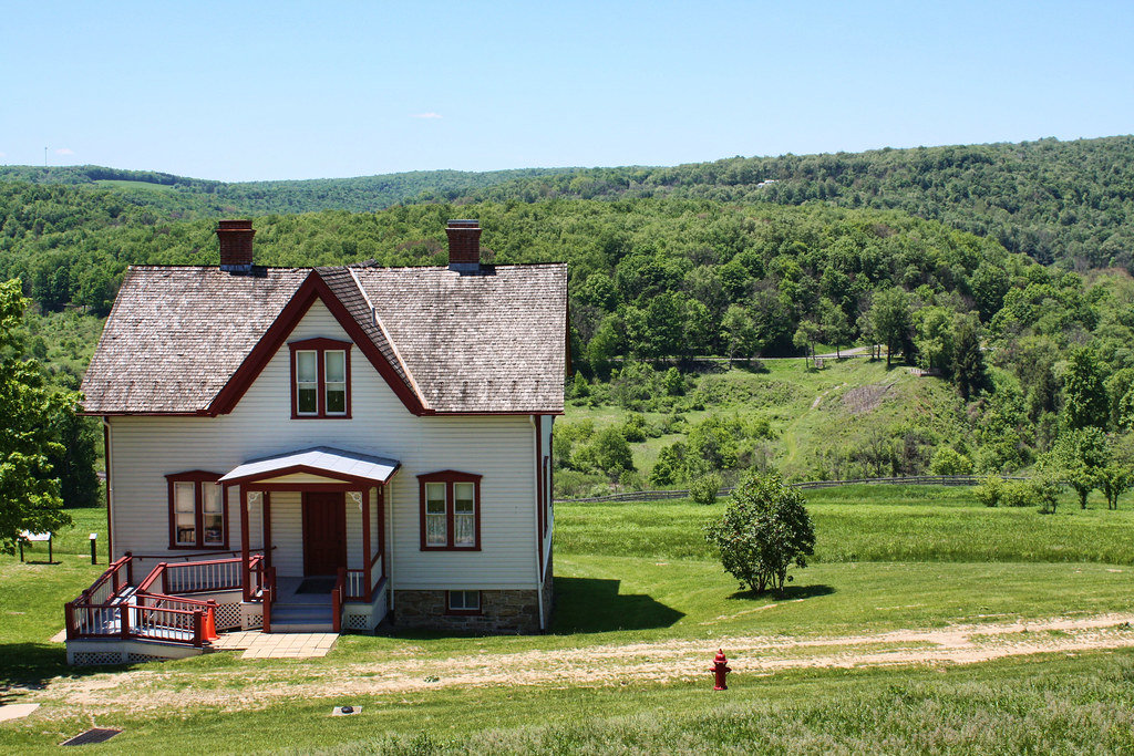
The Unger House
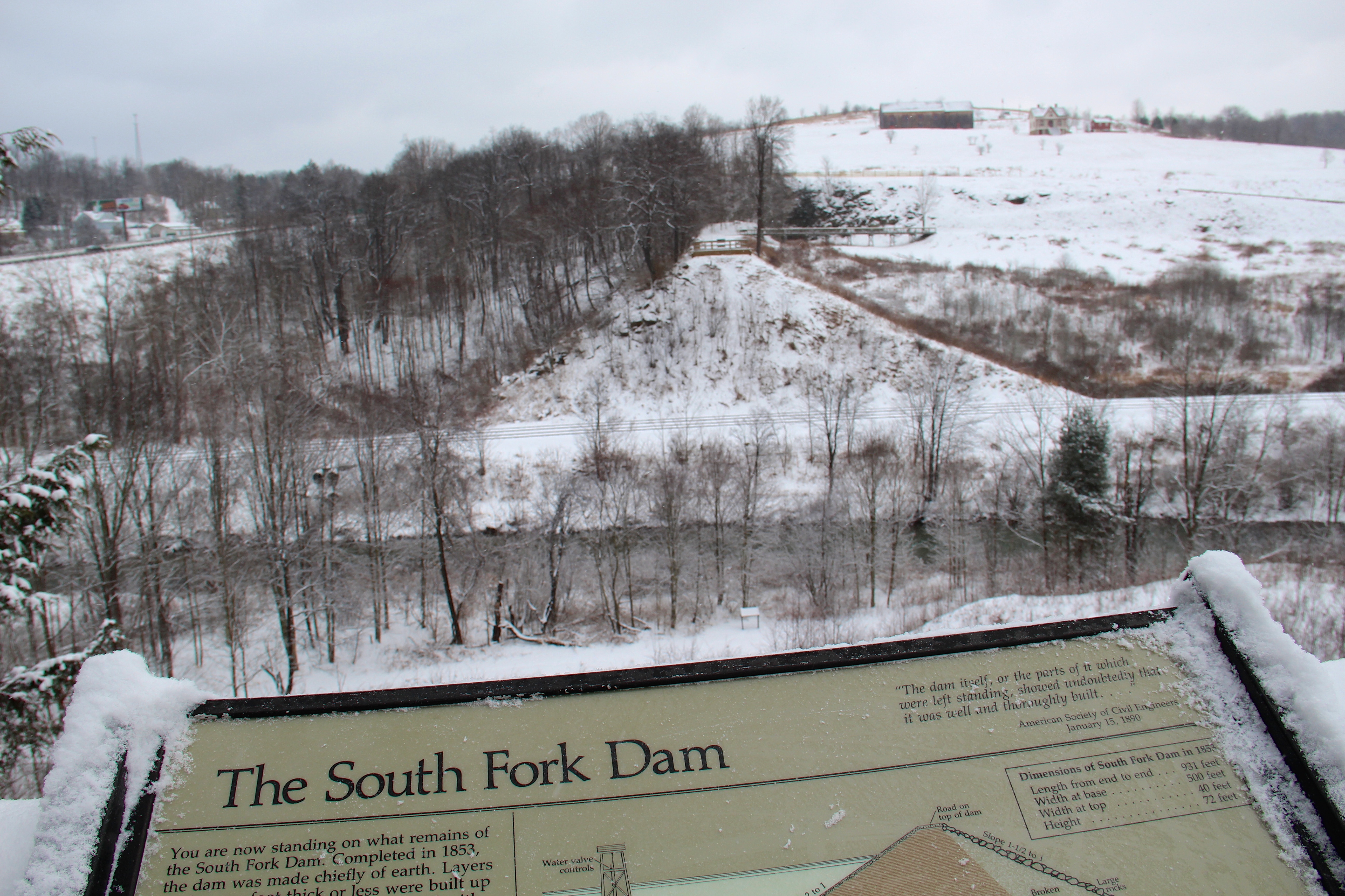
View of The South Fork Dam
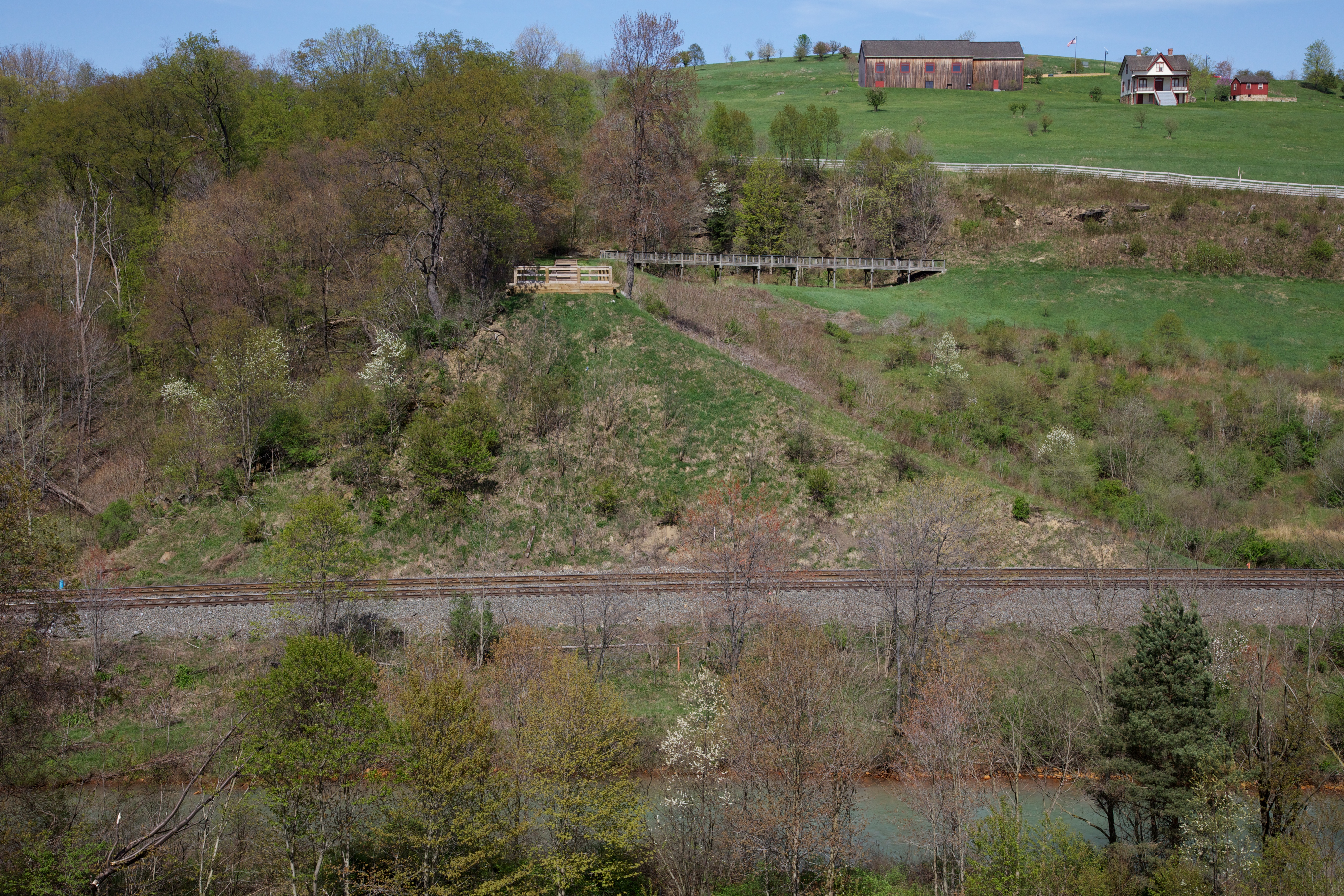
What remains of the South Fork Dam

Summerhill from the Hill
I think I can, I think I can...
Big and Tall

Female Swamp Darner Dragonfly Ovipositing (#3)

Female Swamp Darner Dragonfly Ovipositing (#2)
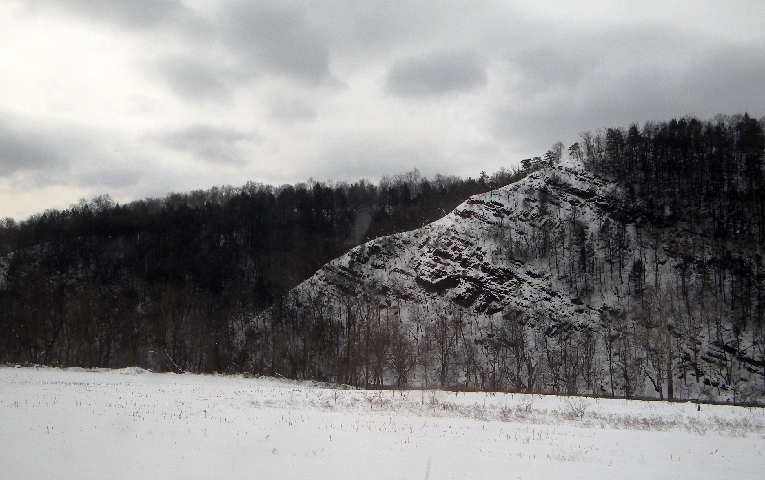
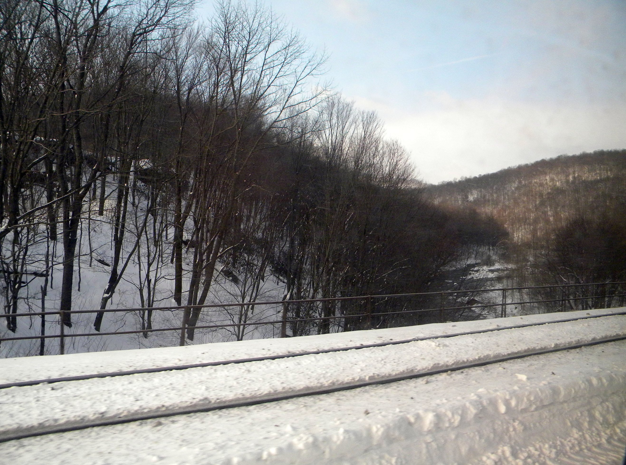
Pennsylvania: The Little Conemaugh River Valley in the Winter
The view from the remnants of the South Fork Dam

Female Swamp Darner Dragonfly Ovipositing (#1)
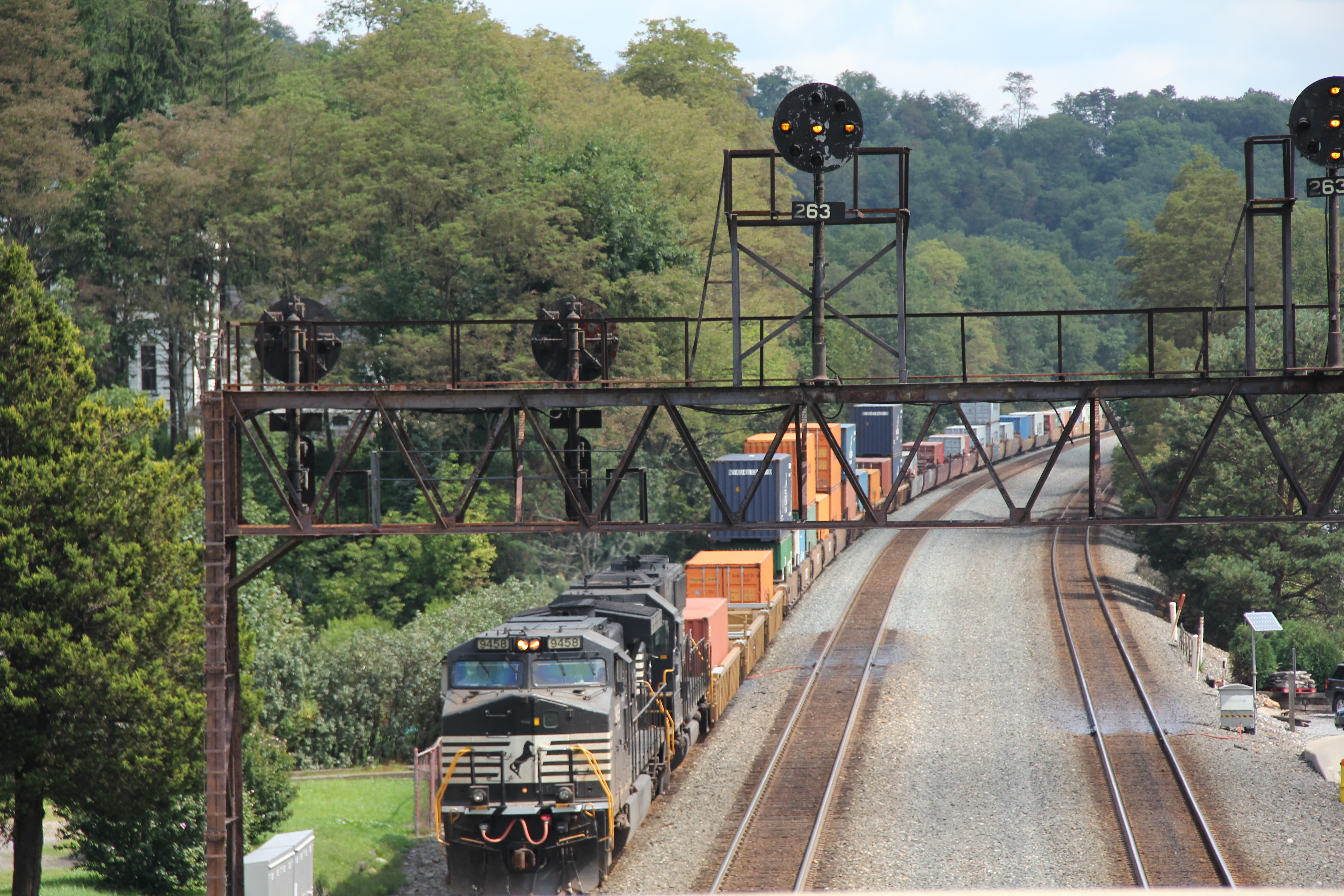
NS in Summerhill: 7
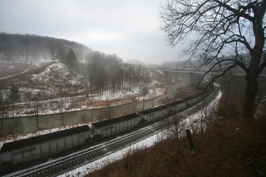
Pennsylvania: The Little Conemaugh River above Johnstown

Chestnut Ridge

Sang Hollow Extension
One Shot #35 | Field
Hinckston Run Reservoir
DSC_8540 (2)

Across the field

How coal was moved...40 years ago!

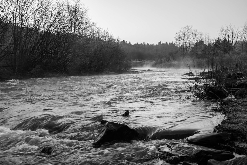
The snow, as it dies, gives birth to the fog
Laurel Ridge State Park - Conemaugh Gap
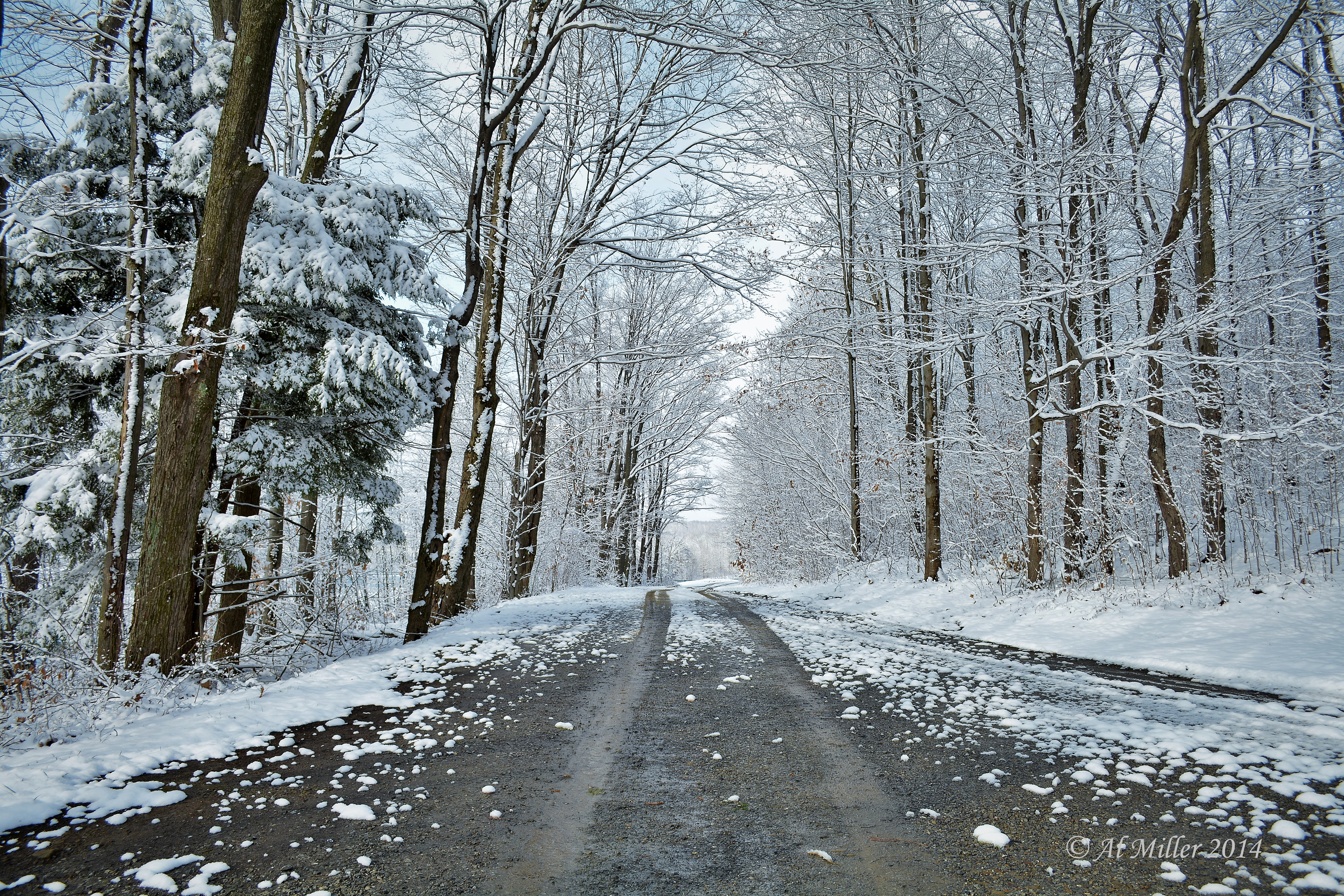
Splendor on the trail
RJC3 Northbound Grain
Inner Supports of the Staple Bend Tunnel

Remains of the South Fork Dam
On the trail
Laurel Ridge State Park - Conemaugh Gap

20120302-K10D-12741
RJC3 Northbound Grain
US 219
Morning mist

Dam break site
Topographic Map of Nanty-Glo, PA, USA
Find elevation by address:

Places near Nanty-Glo, PA, USA:
229 Country Rd
1049 Vine St
849 Fords Corner Rd
Mundy's Corner Auto Sales
Jackson Township
Blacklick Township
Belsano
Chickaree Hill Road
Ebensburg Yamaha
Cambria Township
Benjamin Franklin Hwy, Strongstown, PA, USA
Vintondale
1561 Rexis Rd
1561 Rexis Rd
Priesser Road
Historical Rd, Strongstown, PA, USA
520 Valley Crest Ln
Wehrum Rd, Vintondale, PA, USA
Strongstown
490 Hemlock Ln
Recent Searches:
- Elevation of Corso Fratelli Cairoli, 35, Macerata MC, Italy
- Elevation of Tallevast Rd, Sarasota, FL, USA
- Elevation of 4th St E, Sonoma, CA, USA
- Elevation of Black Hollow Rd, Pennsdale, PA, USA
- Elevation of Oakland Ave, Williamsport, PA, USA
- Elevation of Pedrógão Grande, Portugal
- Elevation of Klee Dr, Martinsburg, WV, USA
- Elevation of Via Roma, Pieranica CR, Italy
- Elevation of Tavkvetili Mountain, Georgia
- Elevation of Hartfords Bluff Cir, Mt Pleasant, SC, USA