Elevation of Najaf, Iraq
Location: Iraq >
Longitude: 44.3265272
Latitude: 32.0106646
Elevation: 53m / 174feet
Barometric Pressure: 101KPa
Elevation Map:
Satellite Map:
Related Photos:

Their film's were ended

Arbaeen 2013

#winter #cold #holidays #snow #rain #christmas #snowing #blizzard #snowflakes #wintertime #staywarm #cloudy #instawinter #instagood #holidayseason #photooftheday #season #seasons #nature

Arbaeen 2013

Arbaeen 2013

Arbaeen 2013

Syed Ali Abrar Zaidi

2018 01 06 Al Kufah & Najaf IMG_5614

Najaf, Iraq, 2004

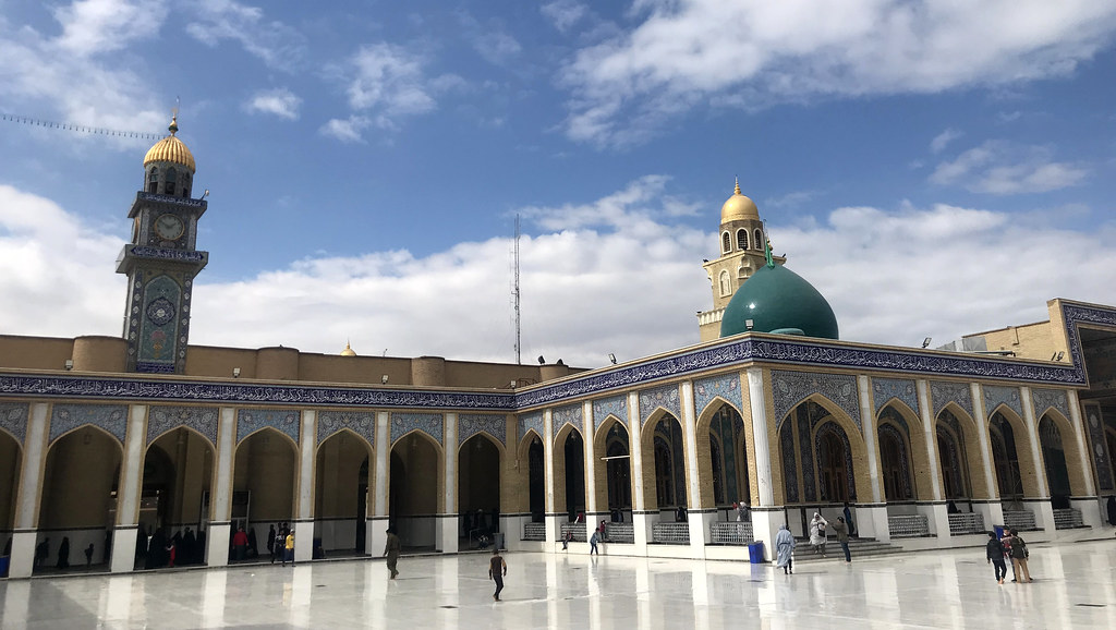
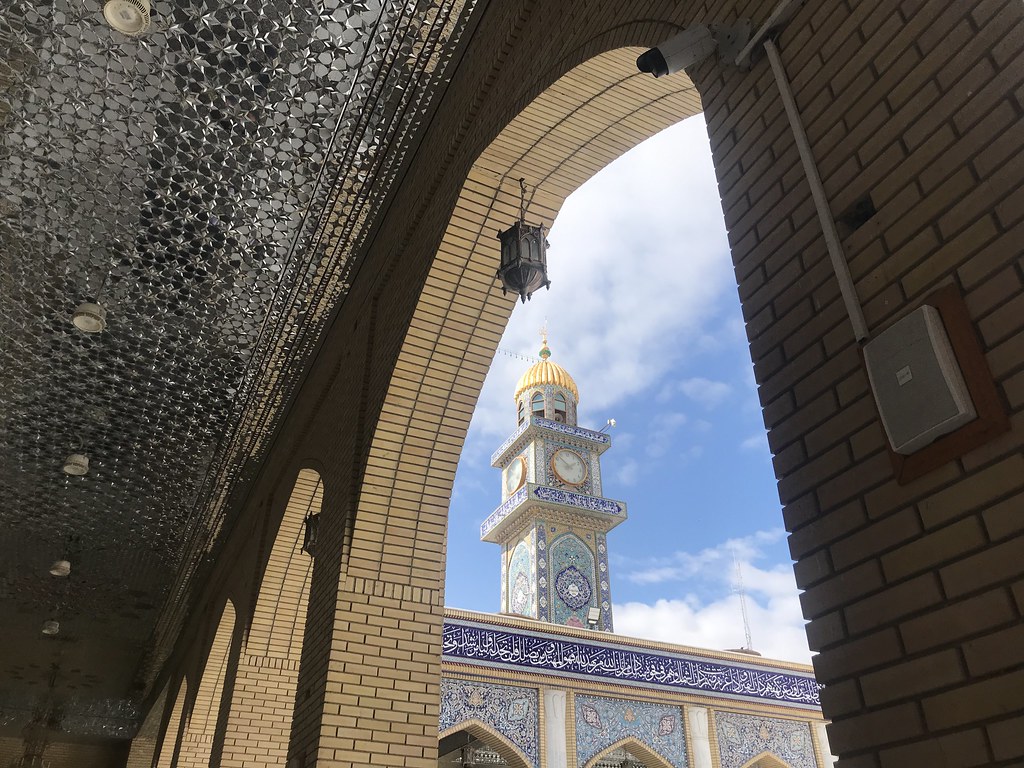
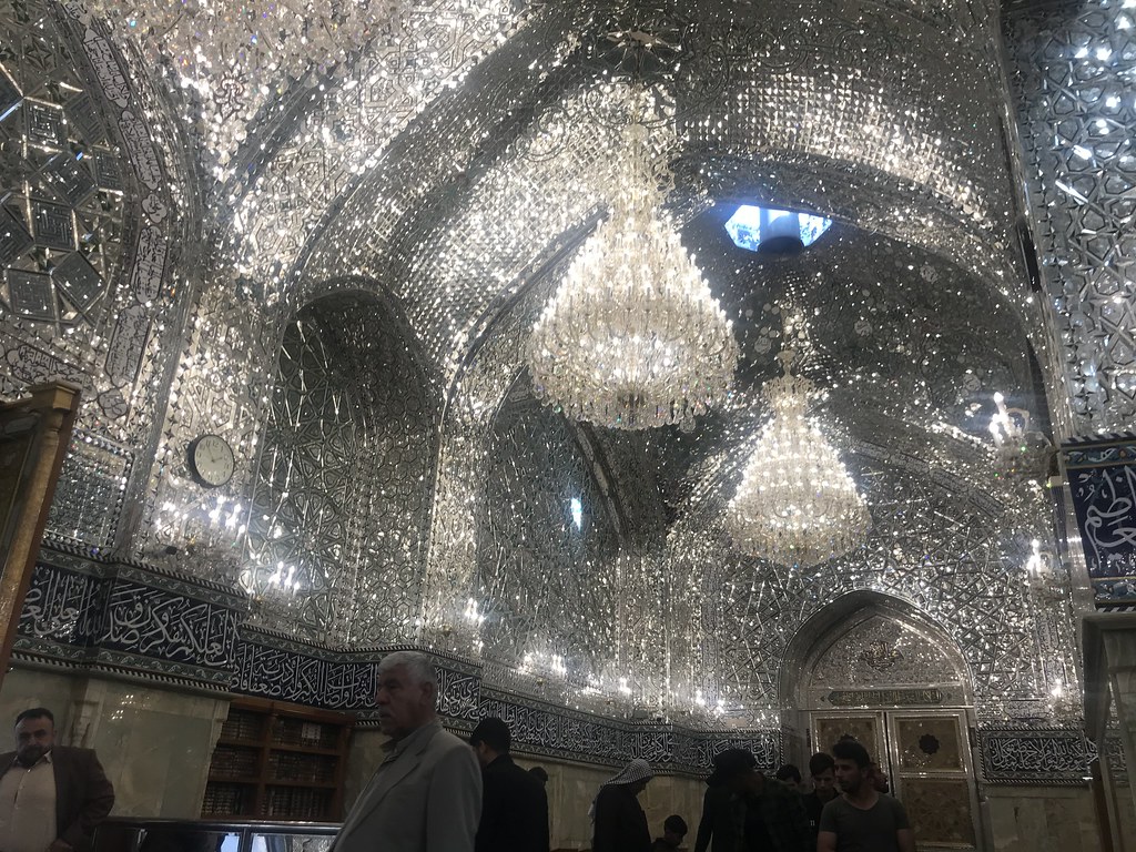
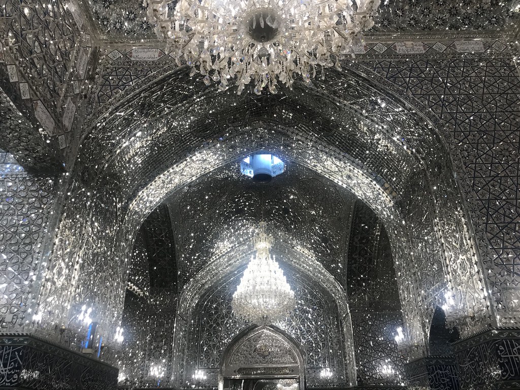
Great Mosque of Kufa
Great Mosque of Kufa

Great Mosque of Kufa

Great Mosque of Kufa

Great Mosque of Kufa
Great Mosque of Kufa

Great Mosque of Kufa

Great Mosque of Kufa
Great Mosque of Kufa

Great Mosque of Kufa

Great Mosque of Kufa

Great Mosque of Kufa

Great Mosque of Kufa

Great Mosque of Kufa
Great Mosque of Kufa

Great Mosque of Kufa

Great Mosque of Kufa

Great Mosque of Kufa

Great Mosque of Kufa
Topographic Map of Najaf, Iraq
Find elevation by address:

Places near Najaf, Iraq:
Recent Searches:
- Elevation of Corso Fratelli Cairoli, 35, Macerata MC, Italy
- Elevation of Tallevast Rd, Sarasota, FL, USA
- Elevation of 4th St E, Sonoma, CA, USA
- Elevation of Black Hollow Rd, Pennsdale, PA, USA
- Elevation of Oakland Ave, Williamsport, PA, USA
- Elevation of Pedrógão Grande, Portugal
- Elevation of Klee Dr, Martinsburg, WV, USA
- Elevation of Via Roma, Pieranica CR, Italy
- Elevation of Tavkvetili Mountain, Georgia
- Elevation of Hartfords Bluff Cir, Mt Pleasant, SC, USA