Elevation of Nahri Saraj, Afghanistan
Location: Afghanistan > Helmand >
Longitude: 64.6214281
Latitude: 31.76147
Elevation: 855m / 2805feet
Barometric Pressure: 91KPa
Elevation Map:
Satellite Map:
Related Photos:

Highway One Helmand Province Afghanistan December 2012

Supply Operations Air Group - DynCorp International

Helmand Med Evac FOB Price
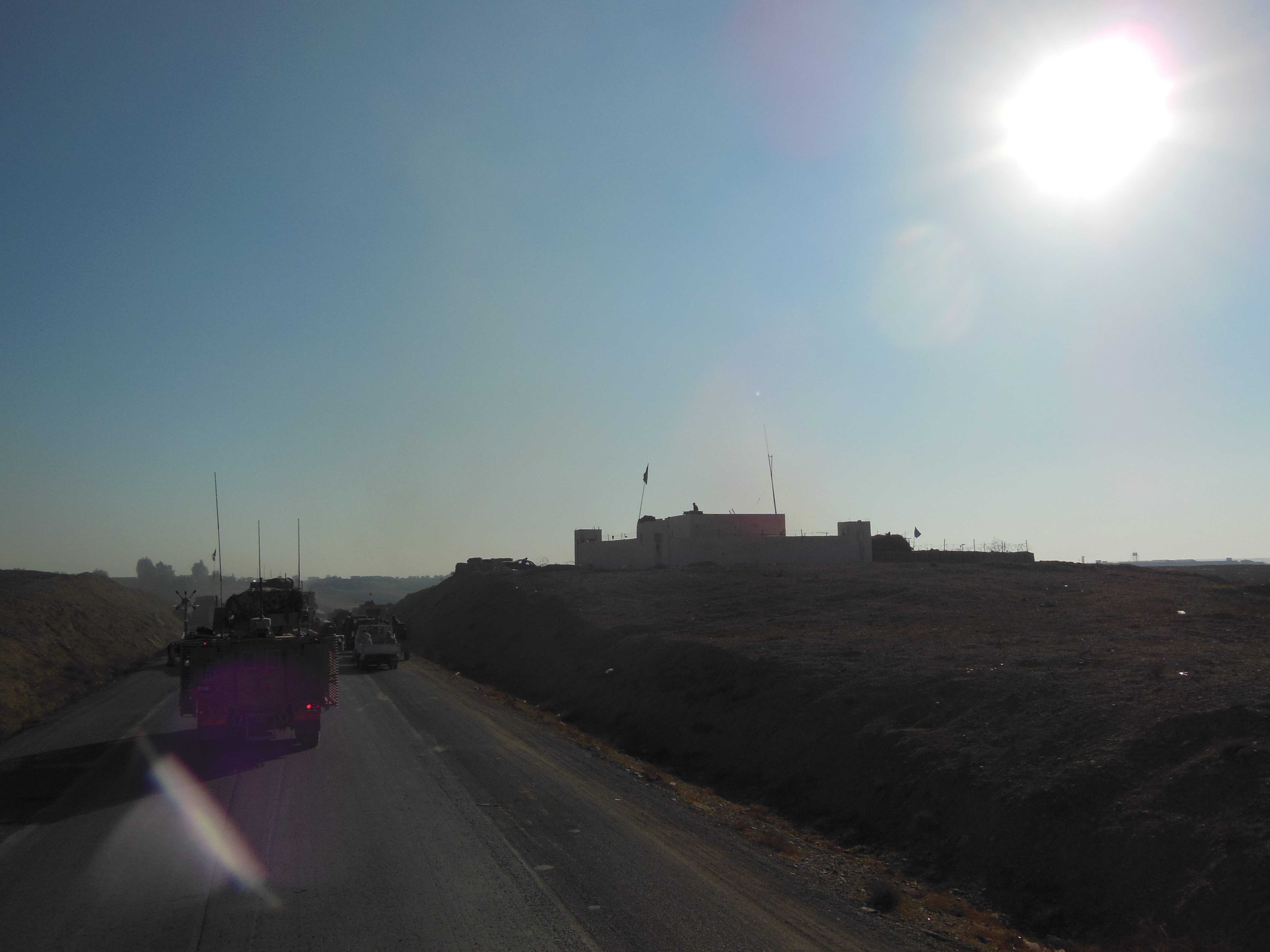
Highway One Helmand Province Afghanistan December 2012

Highway One Helmand Province Afghanistan December 2012

Local People Helmand Province Afghanistan December 2012

Helmand Province Afghanistan December 2012

Helmand Province Afghanistan December 2012

Soldier contemplates the days fighting

The moon is up

CH-47 Chinook taking off

V-22 Osprey taking off

Dust flying

GSK Kids

GSK Prison

Taliban Market

Helmand River
Topographic Map of Nahri Saraj, Afghanistan
Find elevation by address:

Places in Nahri Saraj, Afghanistan:
Places near Nahri Saraj, Afghanistan:
Recent Searches:
- Elevation of Corso Fratelli Cairoli, 35, Macerata MC, Italy
- Elevation of Tallevast Rd, Sarasota, FL, USA
- Elevation of 4th St E, Sonoma, CA, USA
- Elevation of Black Hollow Rd, Pennsdale, PA, USA
- Elevation of Oakland Ave, Williamsport, PA, USA
- Elevation of Pedrógão Grande, Portugal
- Elevation of Klee Dr, Martinsburg, WV, USA
- Elevation of Via Roma, Pieranica CR, Italy
- Elevation of Tavkvetili Mountain, Georgia
- Elevation of Hartfords Bluff Cir, Mt Pleasant, SC, USA