Elevation of Nagarjuna Sagar Dam, India
Location: India >
Longitude: 79.3124022
Latitude: 16.5759672
Elevation: 149m / 489feet
Barometric Pressure: 100KPa
Elevation Map:
Satellite Map:
Related Photos:
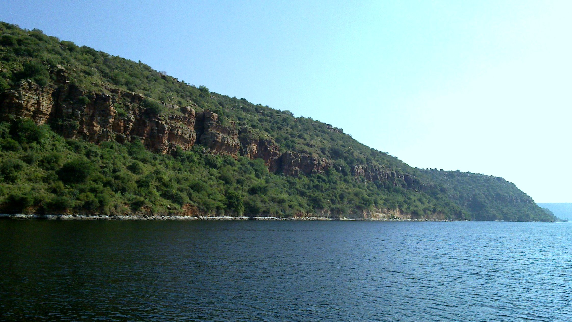
Another view of the cliffs
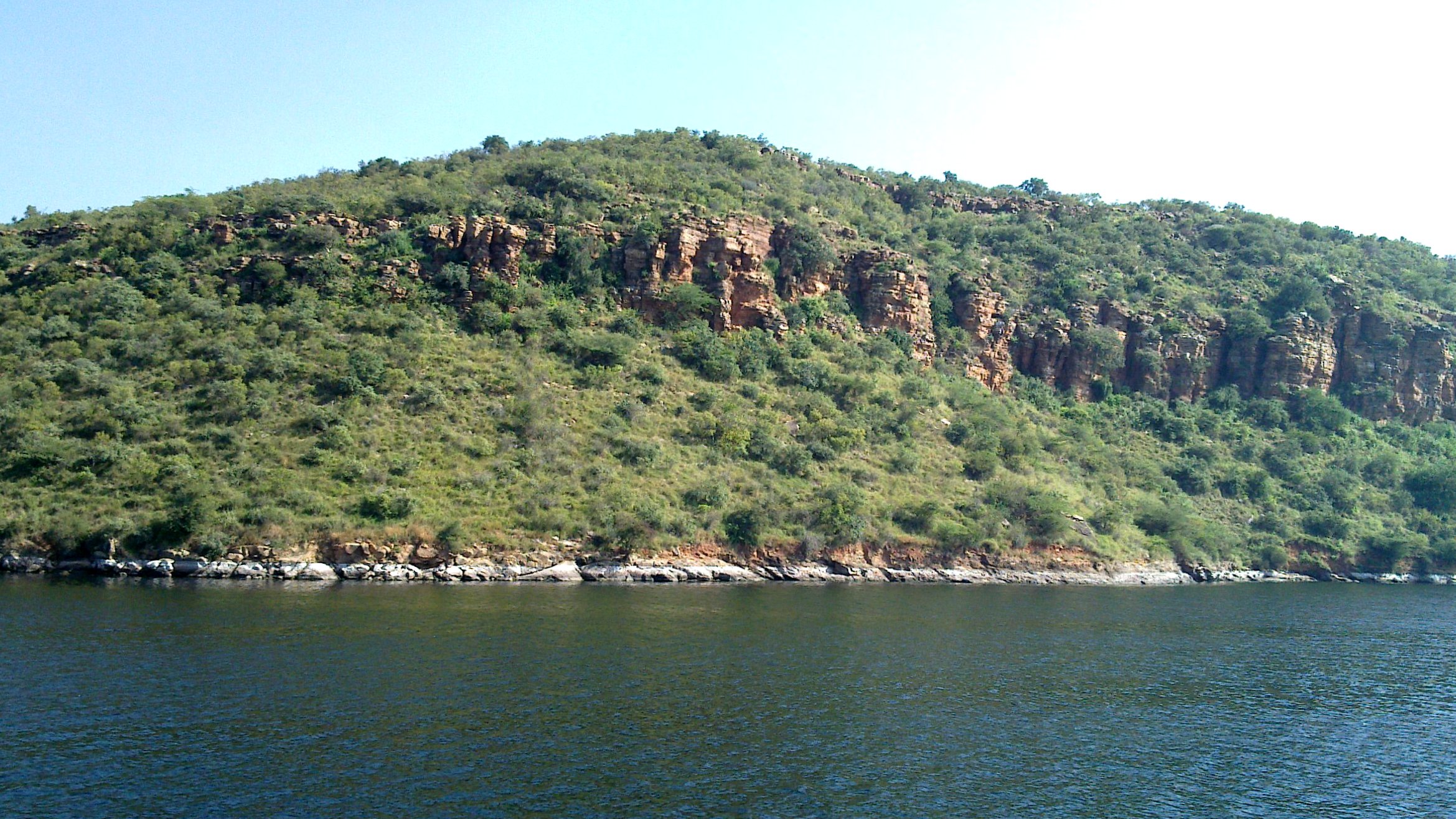
Another view of the cliffs

Nagarjuna Sagar Dam

HD Iron 883
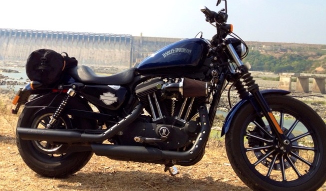
Harley Davidson Iron 883

DSC03094[1]

Country Boat

Nagarjun sagar dam. Lunch at haritha.
Topographic Map of Nagarjuna Sagar Dam, India
Find elevation by address:

Places near Nagarjuna Sagar Dam, India:
Miryalaguda
Brahmanapalli
Chejerla
Bodanam
Sundipenta
Srisailam Dam
Kothapalli
Srisailam
Telangana, India
Guntur
Andhra Pradesh
Narasaraopeta
Markapur
Linga Puram
Pedda Nallakalva
Amba Malleswara Swami Devasthanam
Peddivenkataya Palle
Chandaluru
Ongole
Recent Searches:
- Elevation of Corso Fratelli Cairoli, 35, Macerata MC, Italy
- Elevation of Tallevast Rd, Sarasota, FL, USA
- Elevation of 4th St E, Sonoma, CA, USA
- Elevation of Black Hollow Rd, Pennsdale, PA, USA
- Elevation of Oakland Ave, Williamsport, PA, USA
- Elevation of Pedrógão Grande, Portugal
- Elevation of Klee Dr, Martinsburg, WV, USA
- Elevation of Via Roma, Pieranica CR, Italy
- Elevation of Tavkvetili Mountain, Georgia
- Elevation of Hartfords Bluff Cir, Mt Pleasant, SC, USA