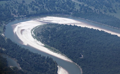
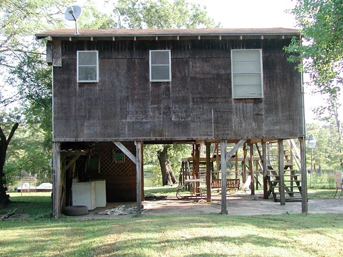
Elevation of N Winfree St, Dayton, TX, USA
Location: United States > Texas > Liberty County > Dayton >
Longitude: -94.898569
Latitude: 30.0642236
Elevation: 25m / 82feet
Barometric Pressure: 101KPa
Related Photos:
Topographic Map of N Winfree St, Dayton, TX, USA
Find elevation by address:

Places near N Winfree St, Dayton, TX, USA:
2 River Oaks St
1 River Oaks St
9 River Oaks St
201 E Austin St
2009 Chester St
4490 N Cleveland St
915 County Rd 6324
996 County Rd 632
106r
742 County Rd 632
County Road
160 County Rd 6391
County Road 6508
695 County Rd 6769
County Rd, Dayton, TX, USA
County Road 645
60 County Rd, Dayton, TX, USA
559 County Rd 2331
1509 Magnolia St
1602 Edgewood St
Recent Searches:
- Elevation of Corso Fratelli Cairoli, 35, Macerata MC, Italy
- Elevation of Tallevast Rd, Sarasota, FL, USA
- Elevation of 4th St E, Sonoma, CA, USA
- Elevation of Black Hollow Rd, Pennsdale, PA, USA
- Elevation of Oakland Ave, Williamsport, PA, USA
- Elevation of Pedrógão Grande, Portugal
- Elevation of Klee Dr, Martinsburg, WV, USA
- Elevation of Via Roma, Pieranica CR, Italy
- Elevation of Tavkvetili Mountain, Georgia
- Elevation of Hartfords Bluff Cir, Mt Pleasant, SC, USA

