Elevation of N Van Dyke Rd, Imlay City, MI, USA
Location: United States > Michigan > Lapeer County > Imlay Township > Imlay City >
Longitude: -83.074213
Latitude: 43.1424135
Elevation: 262m / 860feet
Barometric Pressure: 98KPa
Elevation Map:
Satellite Map:
Related Photos:
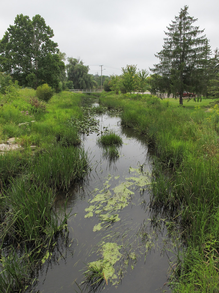
Not huge!, the river "North Branch Belle River" in Imlay City, Michigan.
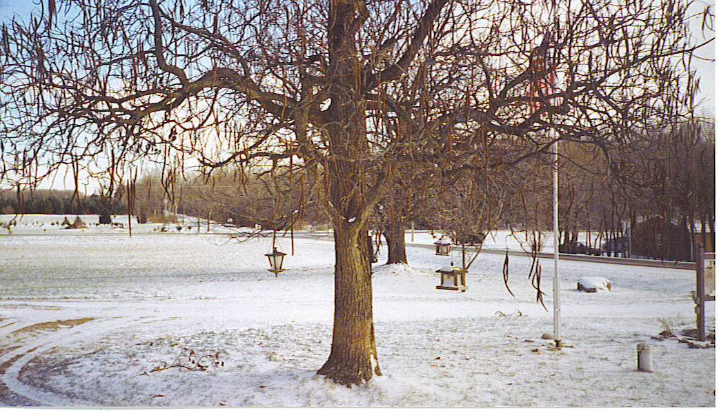
Thanksgiving 2005 View

My Yard - Gazebo #2

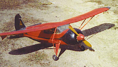
Fairchild 24 Flying Model View #1
Fairchild 24 Flying Model View #2
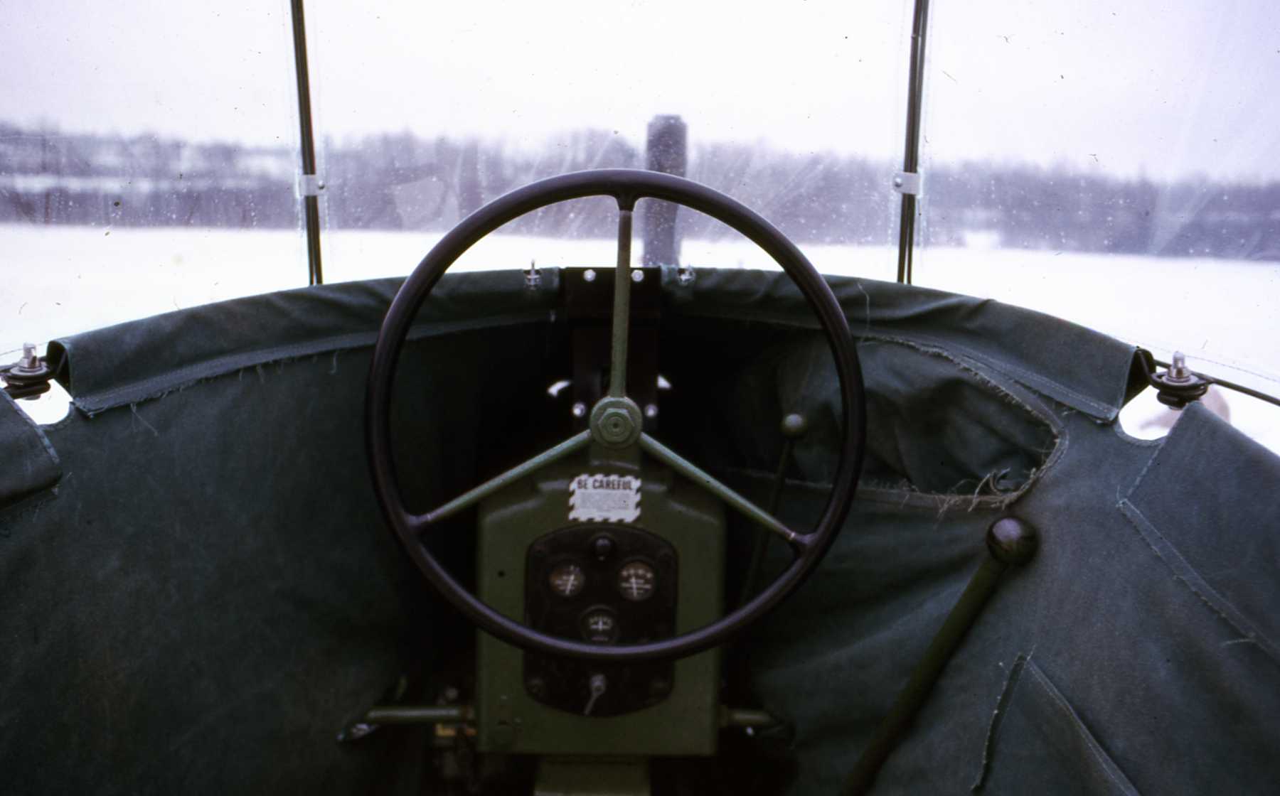
My Hobby Tractor #5
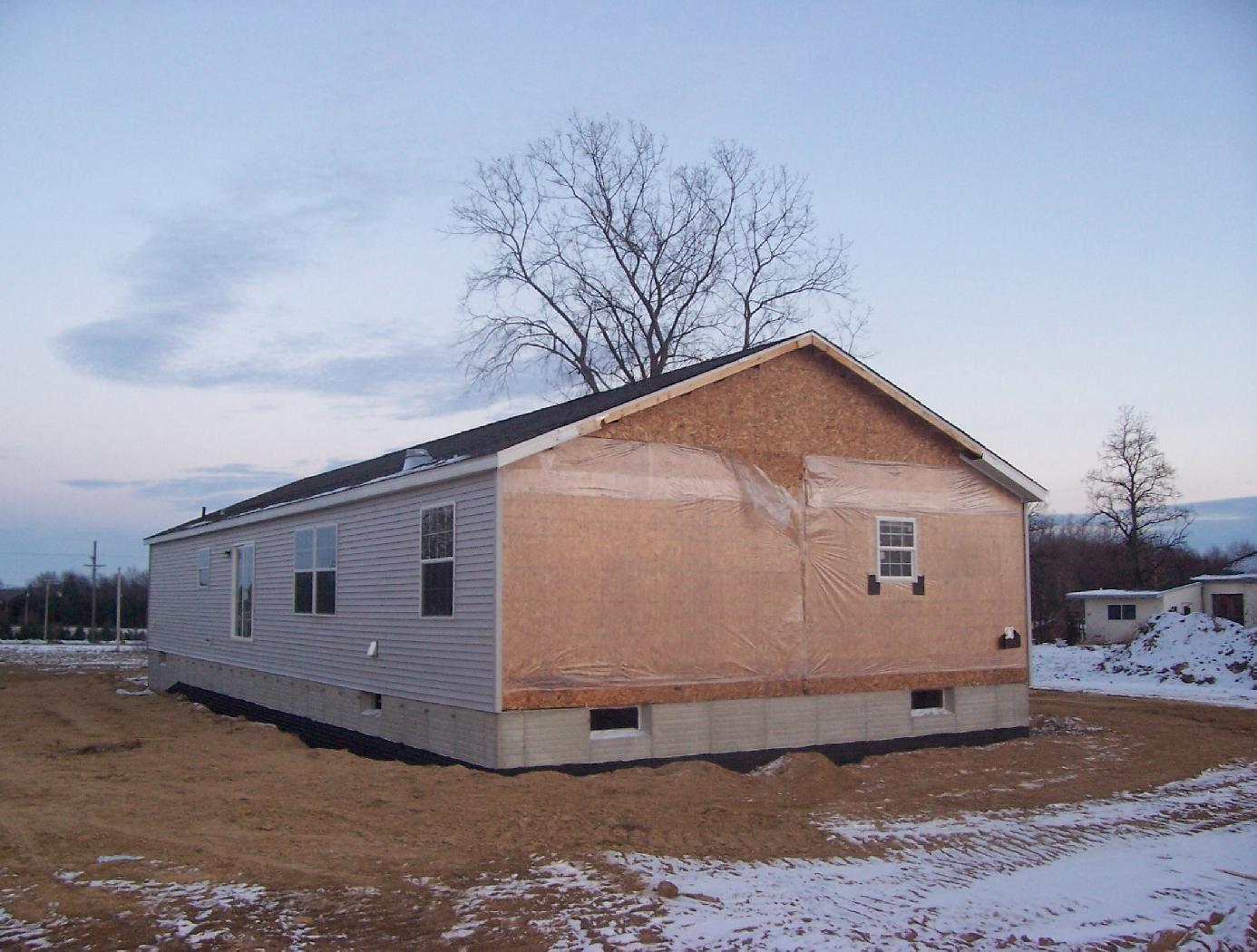
Our New house #99

Abacus Lamp #2

Red-eyed Vireo

American Redstart
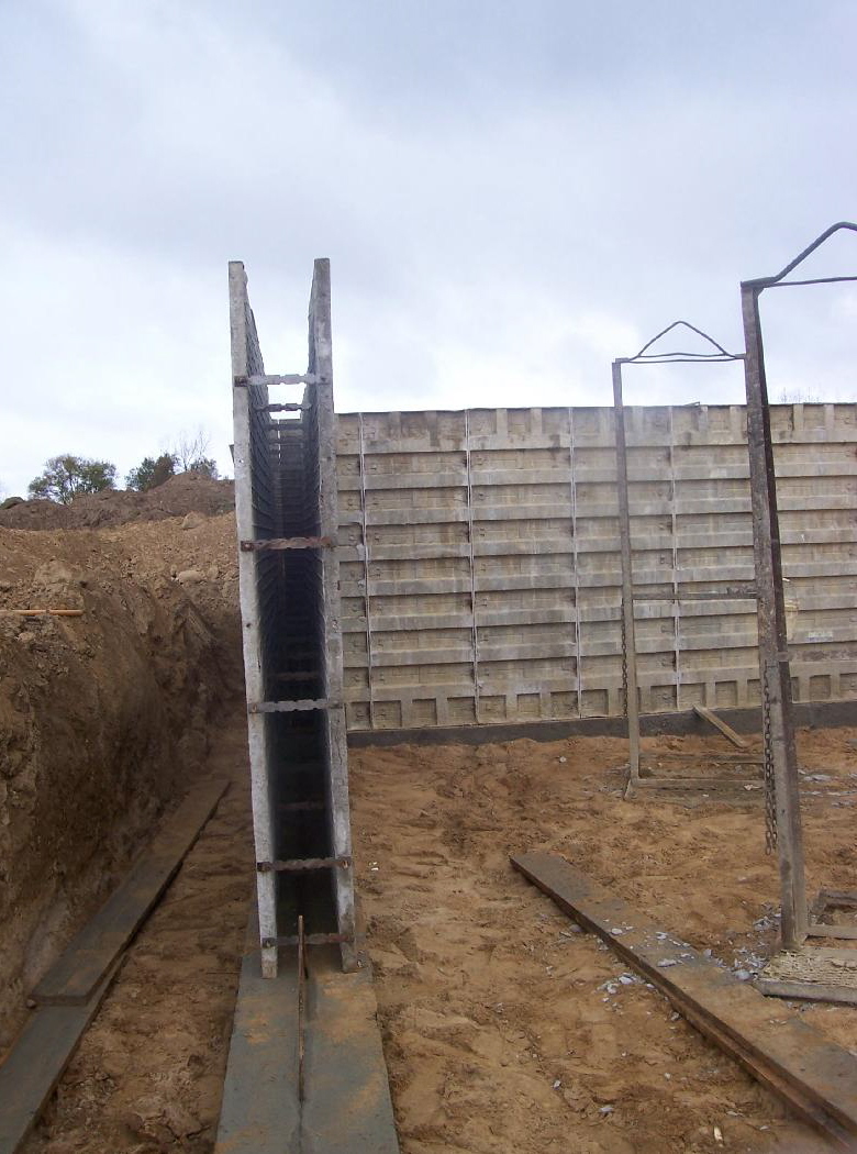
Our New House #41
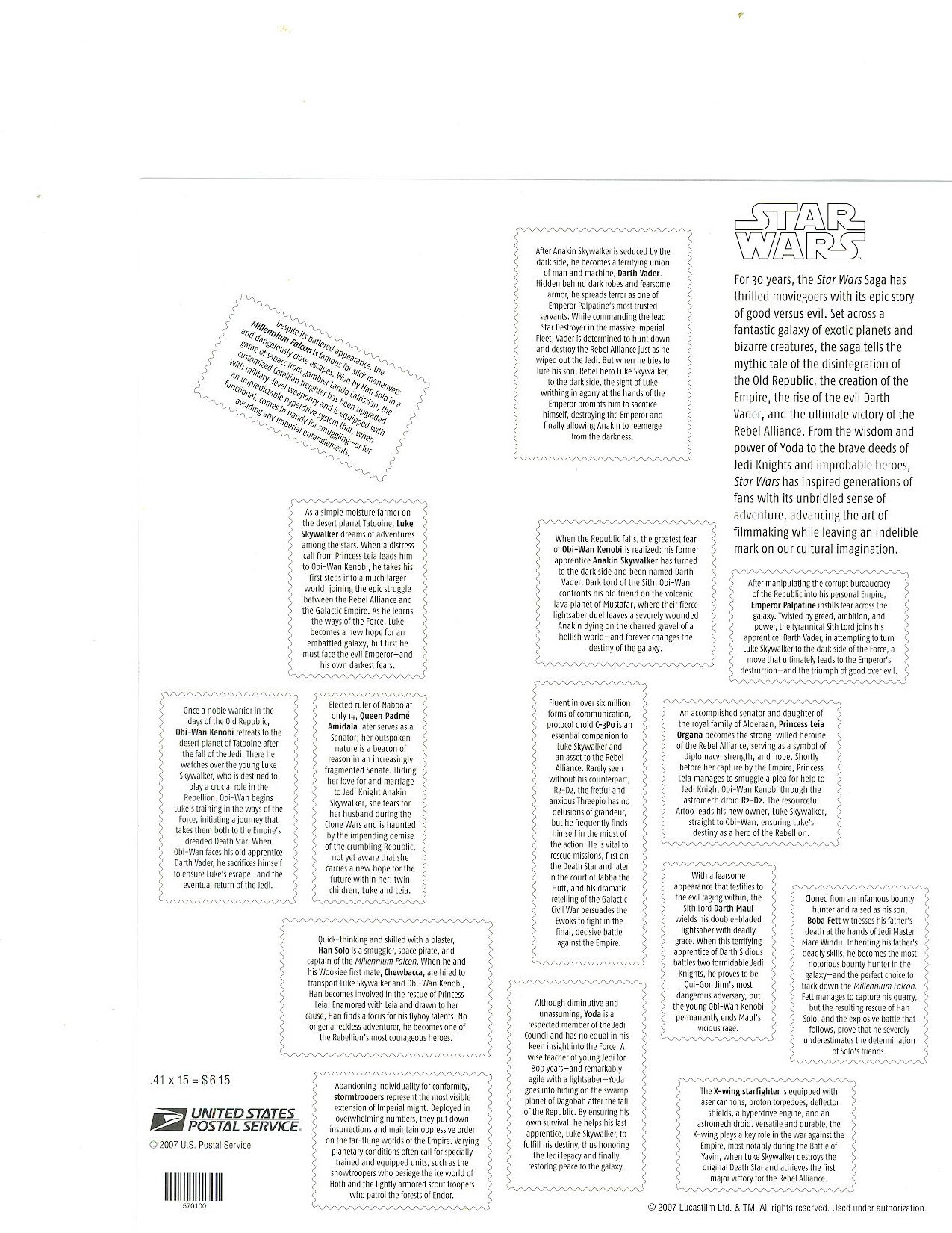
Star Wars Stamps #2

country road

Fields of Michigan

Fields of Michigan

Red-eyed Vireo
Topographic Map of N Van Dyke Rd, Imlay City, MI, USA
Find elevation by address:

Places near N Van Dyke Rd, Imlay City, MI, USA:
2009 N Van Dyke Rd
N Van Dyke Rd, Imlay City, MI, USA
Deanville Road
Burnside Township
Brown City
Imlay City
Lapeer County
Attica Township
Imlay Township
S Lake Pleasant Rd, Attica, MI, USA
North Branch
Kings Mill Rd, Lapeer, MI, USA
3131 S Van Dyke Rd
8015 Linden Dr
Almont Township
Mayfield Township
Dryden
Main St, Dryden, MI, USA
2792 Roods Lake Rd
3211 Roods Lake Rd
Recent Searches:
- Elevation of Corso Fratelli Cairoli, 35, Macerata MC, Italy
- Elevation of Tallevast Rd, Sarasota, FL, USA
- Elevation of 4th St E, Sonoma, CA, USA
- Elevation of Black Hollow Rd, Pennsdale, PA, USA
- Elevation of Oakland Ave, Williamsport, PA, USA
- Elevation of Pedrógão Grande, Portugal
- Elevation of Klee Dr, Martinsburg, WV, USA
- Elevation of Via Roma, Pieranica CR, Italy
- Elevation of Tavkvetili Mountain, Georgia
- Elevation of Hartfords Bluff Cir, Mt Pleasant, SC, USA