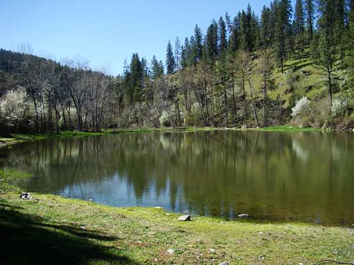
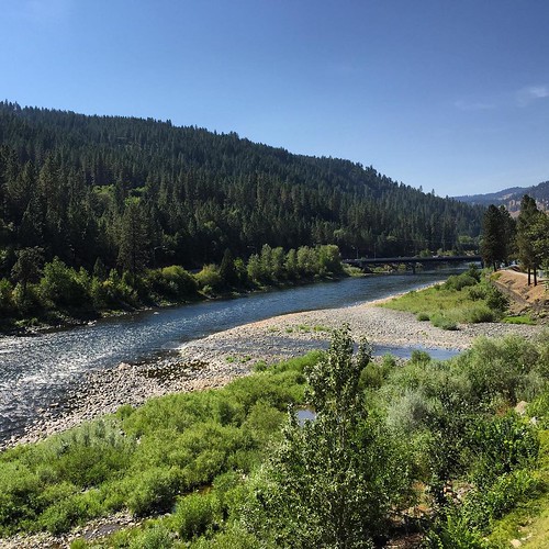
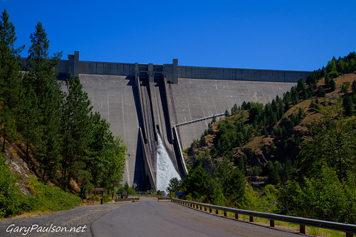
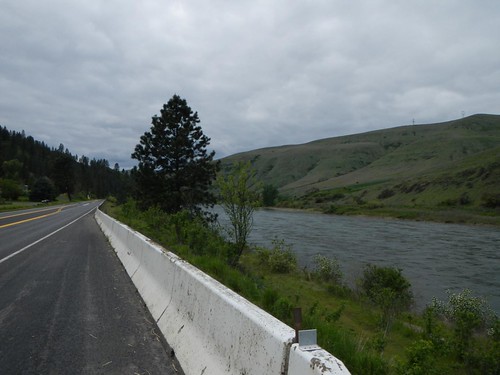
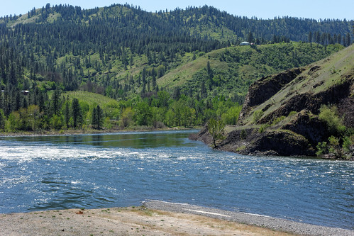
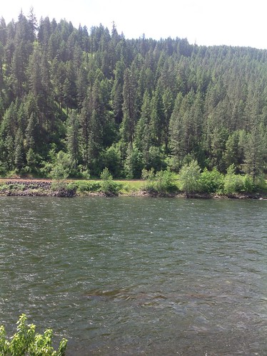
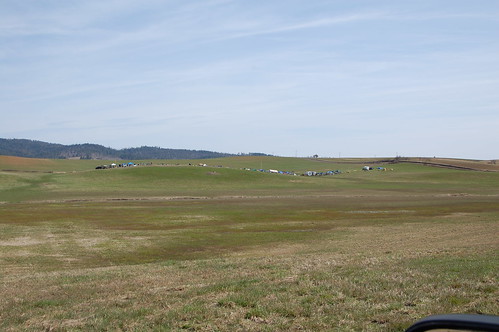
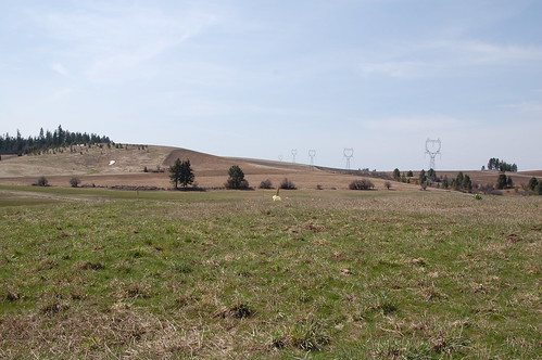
Elevation of N Park St, Peck, ID, USA
Location: United States > Idaho > Nez Perce County > Peck >
Longitude: -116.42392
Latitude: 46.47542
Elevation: 321m / 1053feet
Barometric Pressure: 98KPa
Related Photos:
Topographic Map of N Park St, Peck, ID, USA
Find elevation by address:

Places near N Park St, Peck, ID, USA:
Peck
Old Peck Grade
Old Peck Grade
Old Peck Grade
Old Peck Grade
Old Peck Grade
Old Peck Grade
Old Peck Grade
823 Sunnyside Bench Rd
River Point Lane
Devils Elbow Drive
Ryegrass Ln, Lenore, ID, USA
Melrose Rd, Peck, ID, USA
Cavendish
Teakean Rd, Lenore, ID, USA
River Road
Lenore
Lenore Grade, Lenore, ID, USA
1st St, Lenore, ID, USA
River Rd, Lenore, ID, USA
Recent Searches:
- Elevation of Corso Fratelli Cairoli, 35, Macerata MC, Italy
- Elevation of Tallevast Rd, Sarasota, FL, USA
- Elevation of 4th St E, Sonoma, CA, USA
- Elevation of Black Hollow Rd, Pennsdale, PA, USA
- Elevation of Oakland Ave, Williamsport, PA, USA
- Elevation of Pedrógão Grande, Portugal
- Elevation of Klee Dr, Martinsburg, WV, USA
- Elevation of Via Roma, Pieranica CR, Italy
- Elevation of Tavkvetili Mountain, Georgia
- Elevation of Hartfords Bluff Cir, Mt Pleasant, SC, USA
