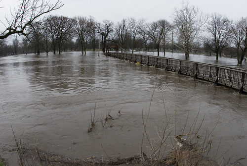
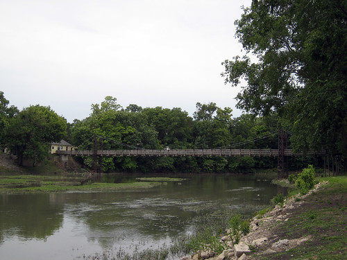
Elevation of N Mill St, Pontiac, IL, USA

Location: United States > Illinois > Livingston County > Pontiac Township > Pontiac >

Longitude: -88.629794

Latitude: 40.880388

Elevation: 199m / 653feet

Barometric Pressure: 99KPa

Elevation Map:

elevation map of N Mill St, Pontiac, IL, USA

Satellite Map:

Satellite map of N Mill St, Pontiac, IL, USA

Related Photos:

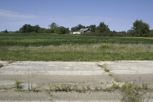
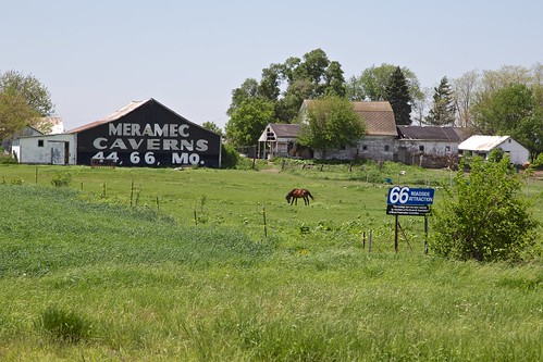
road abandoned overgrown barn illinois route66 pavement ad advertisement restored cayuga motherroad merameccaverns
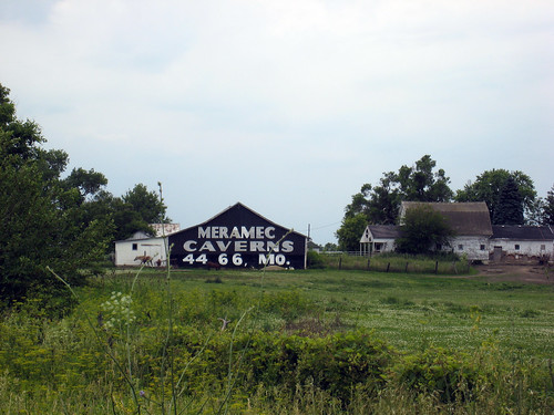
View of Meramec Barn
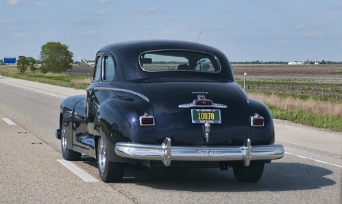
car illinois nikon automobile antiquecar highways dodge pontiac nikkor classiccars i55 interstates d300 nikkorlens horwath interstate55 1948dodge nikkor18mm200mmlens rayhorwath
1948 Dodge
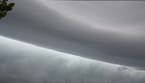
sky storm clouds dark shelfcloud therebeastormabrewin cloudsstormssunsetssunrises
Same shelf cloud
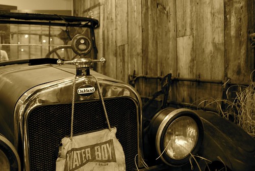
pontiac pontiacil pontiacoakland
Old Oakland - Front View
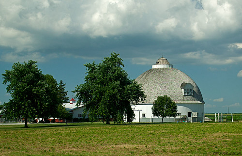
barn illinois pontiac roundbarn nationalregisterofhistoricplaces livingstoncounty nrhp canonef2255mmf456usm canoneos1dsmarki
Raymond Shultz Round Barn, Pontiac, IL
bridge river illinois pontiac vermillionriver livingstoncounty canonef2255mmf456usm canoneos1dsmarki
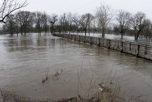
Vermillion River, Pontiac, IL
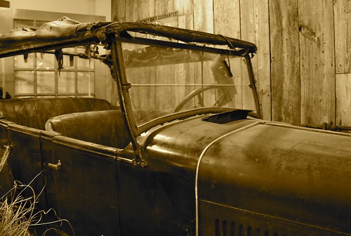
pontiac pontiacil pontiacoakland
Old Oakland - Side View
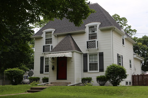
pontiacillinois livingstoncountyil kelvinatorhouse
Pontiac Illinois, Kelvinator Home, Livingston County IL
illinois insects damselflies
Frontal view
park chautauqua
20111029_DSP_0007.jpg
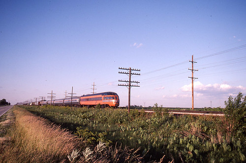
amtrak cedarrapids hiawatha skytop milwaukeeroad pontiacil
Milwaukee Road - Hiawatha - Cedar Rapids, Skytop Observation Parlor Lounge Car north of Pontiac on 6/24/84
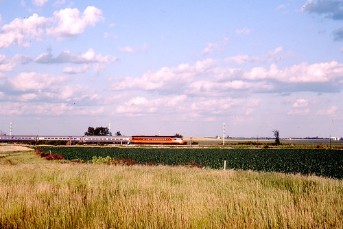
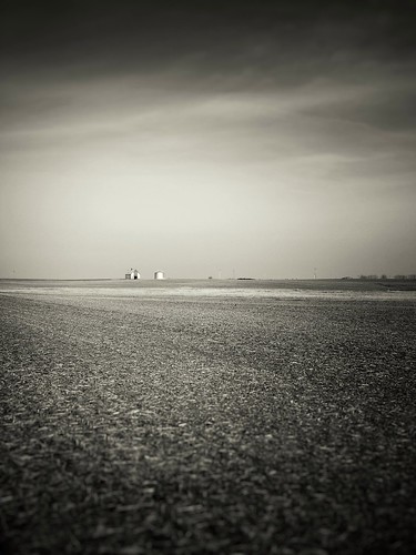
nature rural landscape illinois cornfield farmland minimalism barnporn
Middle of nowhere / Middle of Everything
amtrak cedarrapids hiawatha skytop milwaukeeroad pontiacil
Milwaukee Road - Hiawatha - Cedar Rapids, Skytop Observation Parlor Lounge Car north of Pontiac on 6/24/84
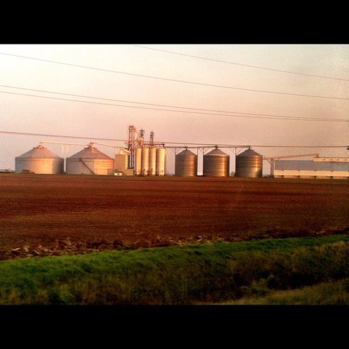
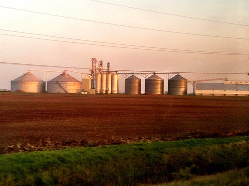
instagramapp square squareformat iphoneography uploaded:by=instagram foursquare:venue=4c1d3efcb9f876b0be507d46 millionsagainstmonsantosyngentadowbasfdupontandbayer organicandgmofreeworld seedsavingawayfrommonsantocontrol foodsafetyandjustice gmofoodlabeling historyofgeemergesfromausmoratoriumto1976 sansogmnoquierotransgenicosgmofreeorganic 2012farmbillusa consumerssupportsmallfarmers uscopyrightmania since1996inusa
Biggest grain silo / farm system I've ever seen! (look to left for a train for size perspective). #GMO anyone? ....everyone.
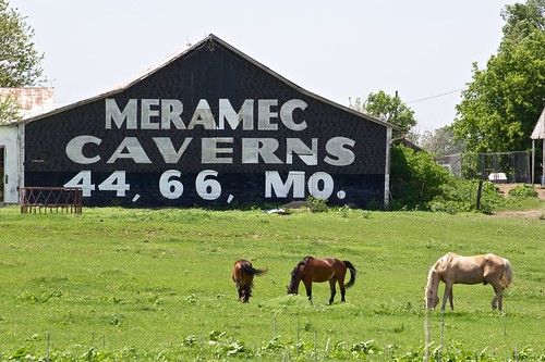
usa triproute662013
IL Rowe - Meramec Caverns Barn Sign
usa triproute662013
IL Rowe - Meramec Caverns Barn Sign
midwest geneticengineering righttoknow foodlabelling precautionaryprinciple jeannettehoss sansogmorganicgmofreeworld gmofoodlabeling madgecorn monopolistbillgatessupportsgmos corruptcorporations millionsagainstmonsantosyngentadowbasfdupontandbayer falsemarket proposition37nov2012oncaliforniagmofoodlabelling foodgraincropdemocracy davidgoliathfight industrialscalefarming
Compare silos to train size... #GMO corn anyone?
usa route66 66 il route amtrak forgotten 2010
The Mother Road
illinois route66 odell é́glise
Beginning of Route 66: Odell, Illinois
squareformat iphone project365 iphone4 iphone365
Day 223/365 Corn Field
old illinois route66 highway roadtrip 66 route rt66 motherroad
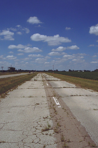
Route 66 Day Four 098 Cayuga Old Highway
usa tree il 2010
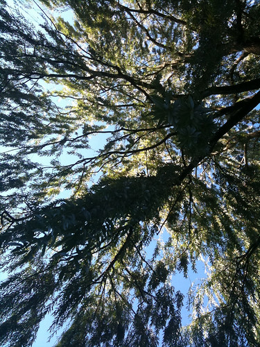
Relaxing under a willow
barn illinois route66 highway roadtrip roadsideattraction rt66 motherroad merameccaverns meramecbarn
Route 66 Day Four 094 Meramec Barn
river flood pontiac vermillionriver
20070324_Vermillion_Flood_036 (1)
illinois route66
[6.19.2005]Route 66 Chenoa, IL to Wilmington, IL
river flood pontiac vermillionriver
20070324_Vermillion_Flood_037 (1)
jazunclescott
Il. part of route 66 with Jaz and Uncle Scott 2012
bridge illinois route66 highway roadtrip pontiac rt66 motherroad
Route 66 Day Four 116 Pontiac Bridge
uploaded:by=flickrmobile flickriosapp:filter=nofilter
3/28/13