Elevation of N McCarty Ave, Eagle Lake, TX, USA
Location: United States > Texas > Colorado County > Eagle Lake >
Longitude: -96.333542
Latitude: 29.589906
Elevation: 56m / 184feet
Barometric Pressure: 101KPa
Elevation Map:
Satellite Map:
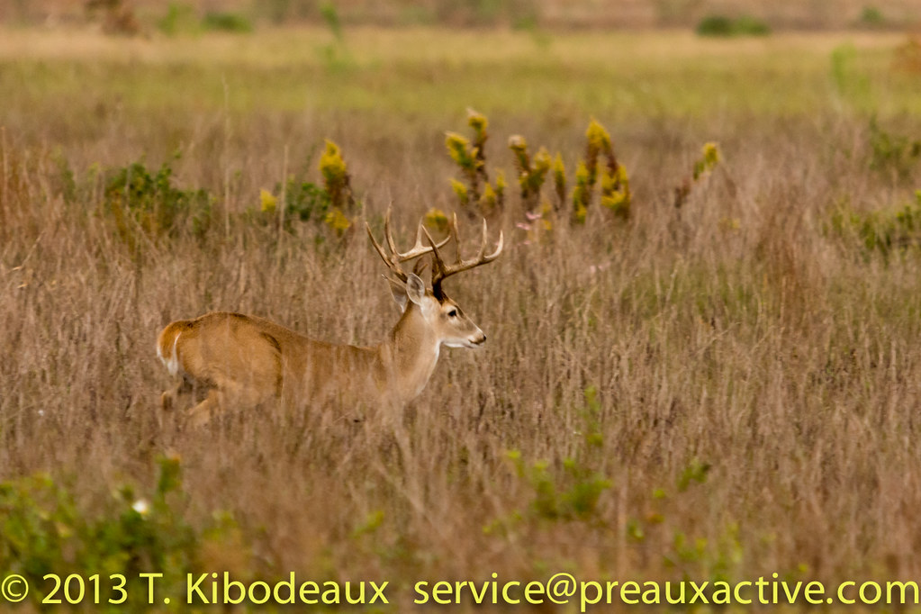
Related Photos:

The Texas Engine That DID

Grasshopper Sparrow

2012_08_04_430.jpg

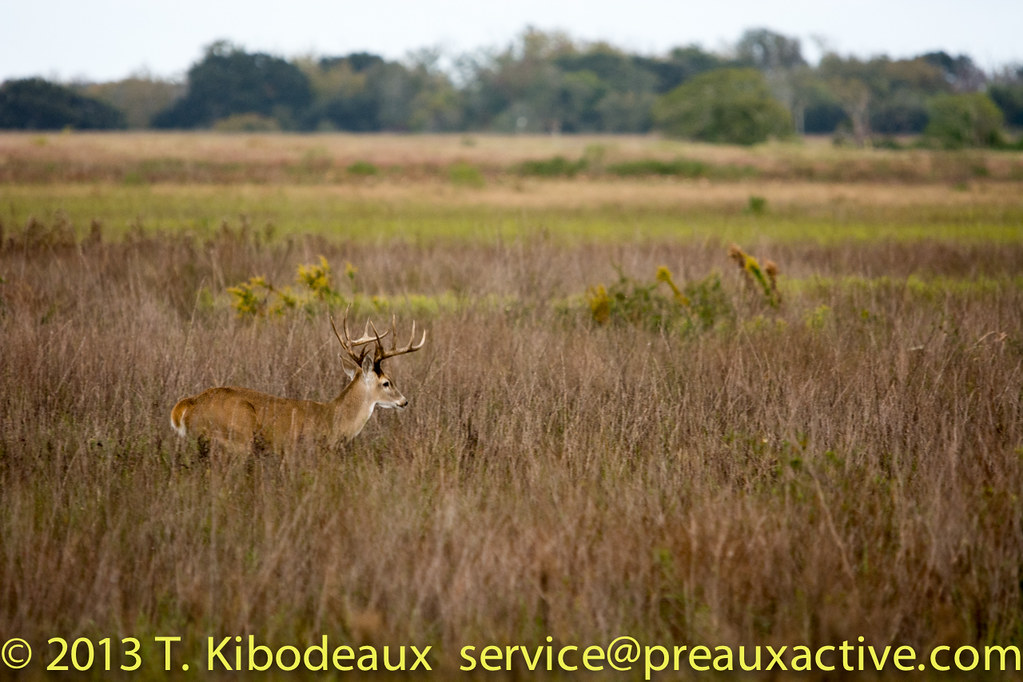
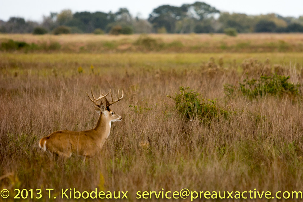
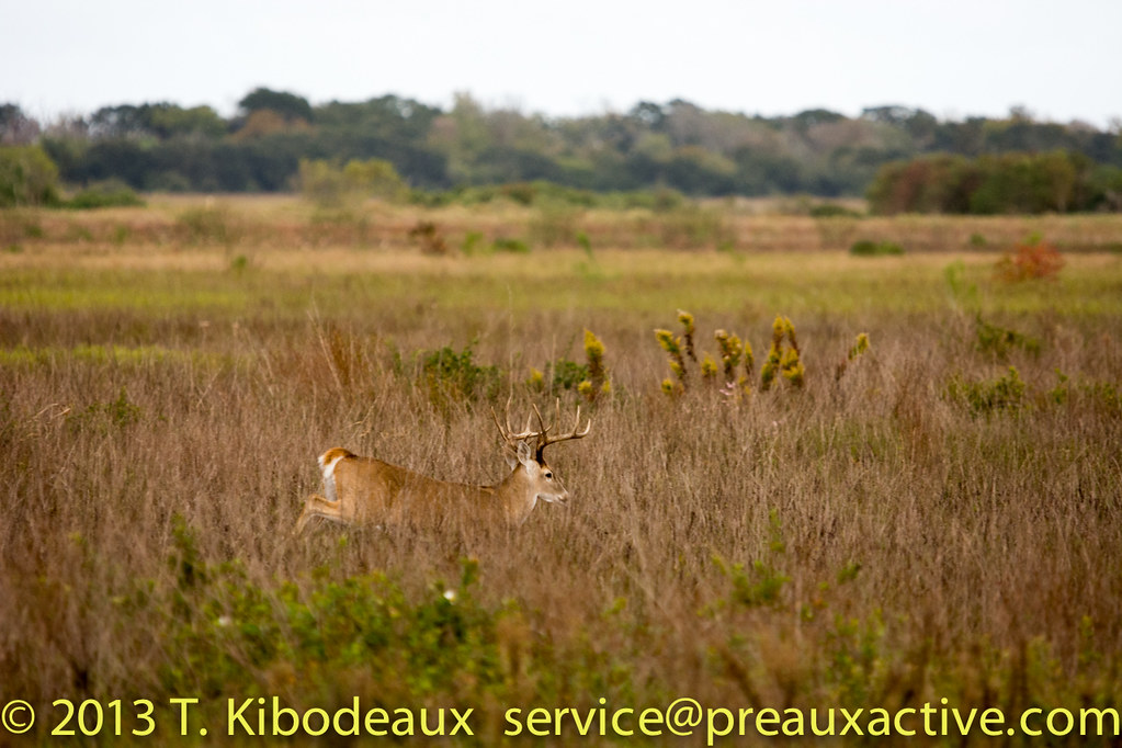
Attwater Prairie chicken
APC-NWR_20131116_486_DSC_2646.jpg

2012_08_04_401.jpg

IMG_5938 - Version 2
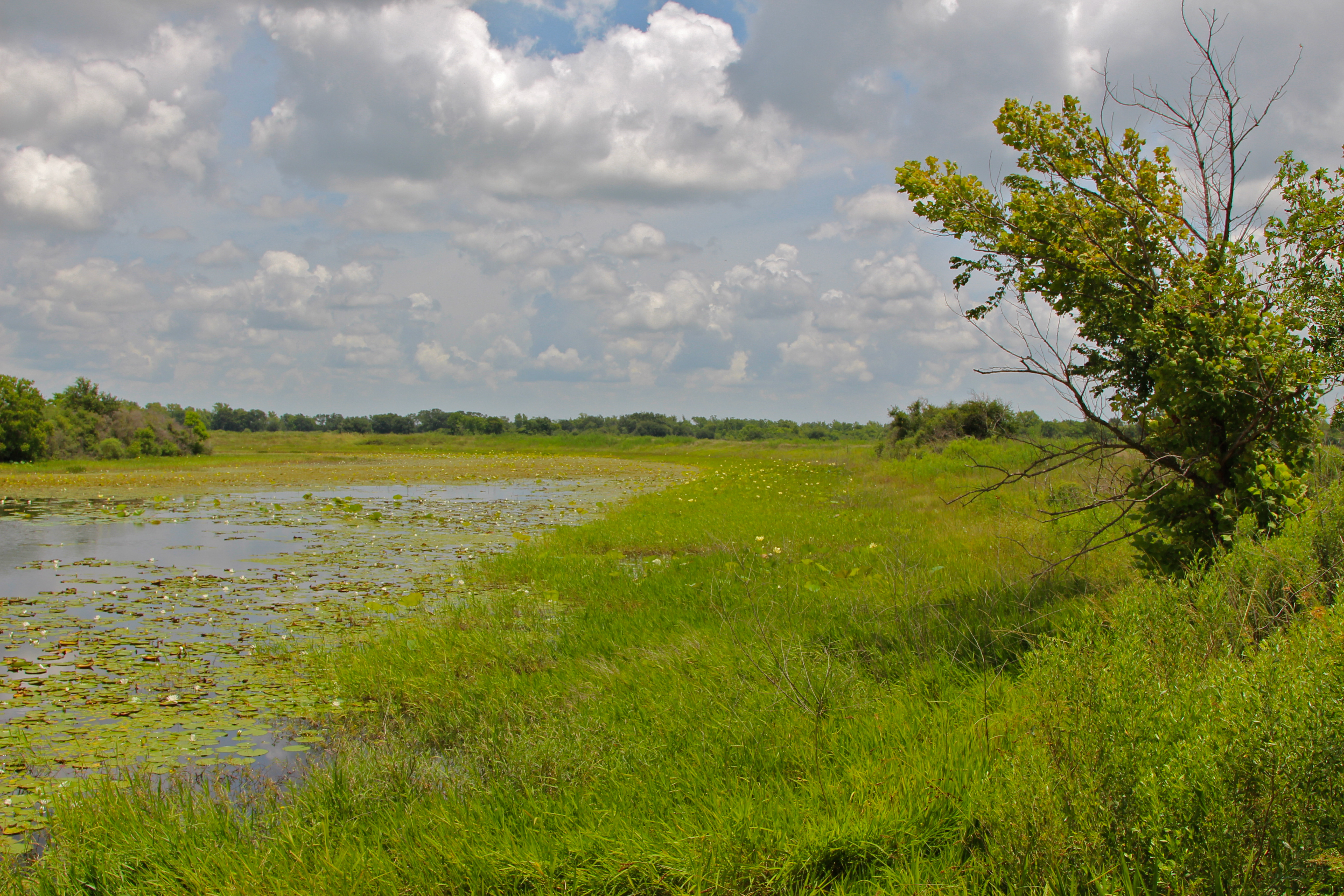
Wetland, Attwater Prairie Chicken NWR
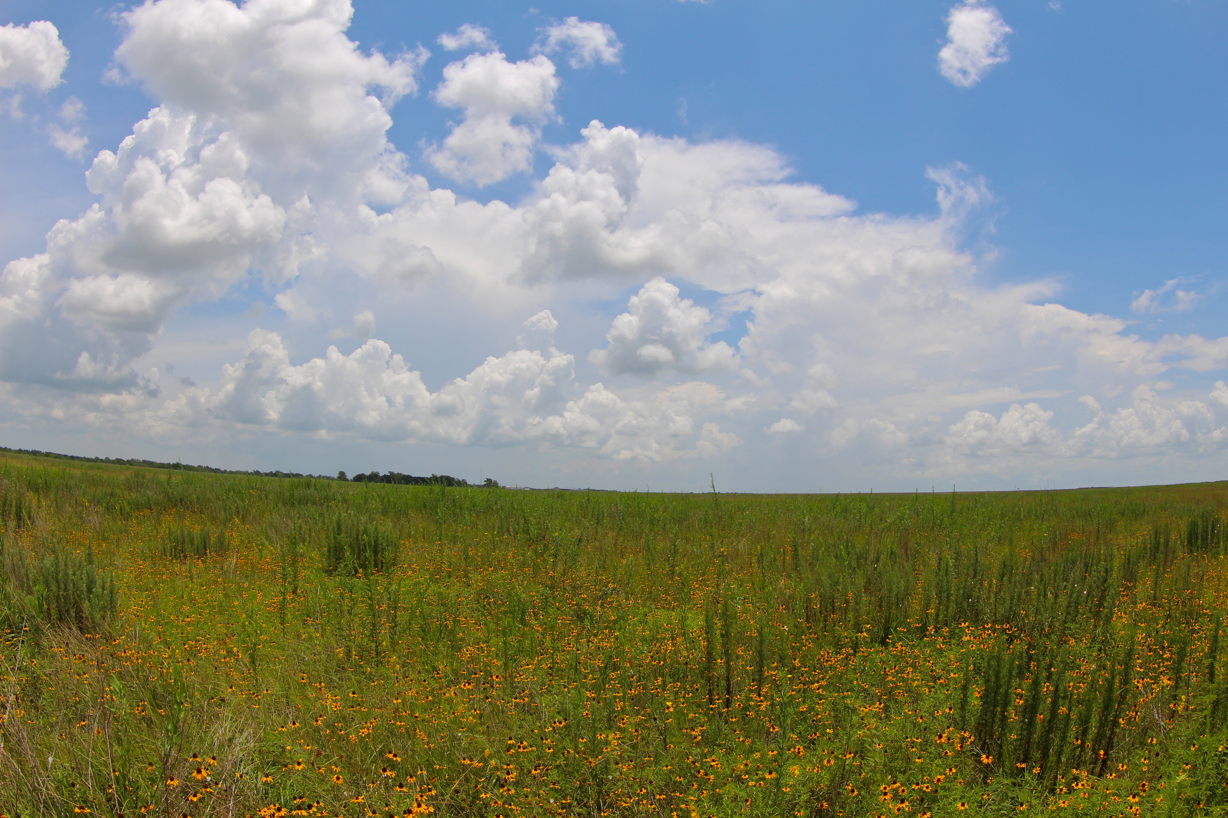
Flowers and grassland

IMG_5937 - Version 2
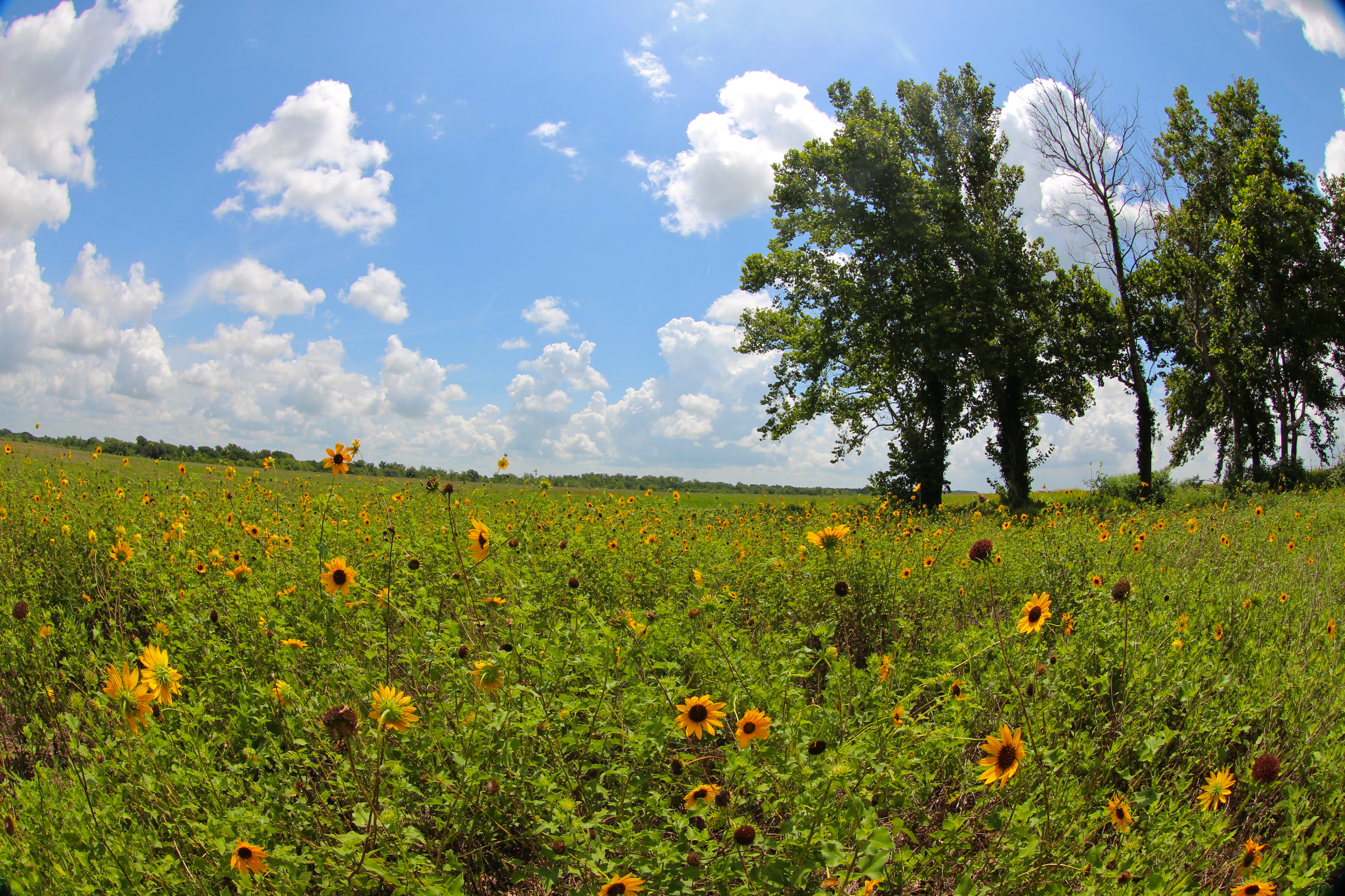
Wildflowers at Attwater Prairie Chicken National Wildlife Refuge

Water lilies on slough

Le Contes_Sparrow05c_12062014
APC-NWR_20131116_483_DSC_2643.jpg

Le Contes_Sparrow03c_12062014
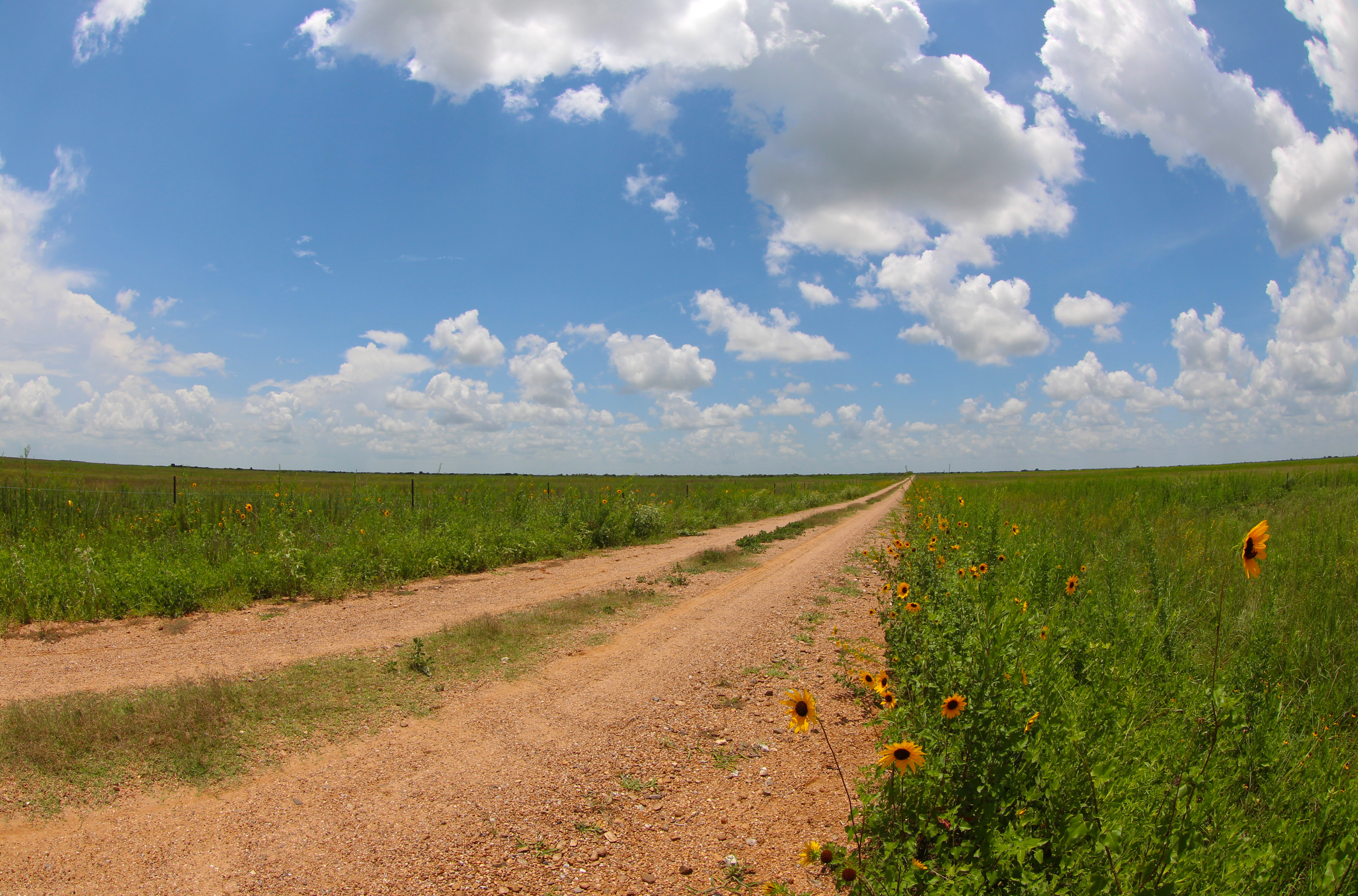
Dirt road, Attwater Prairie Chicken NWR
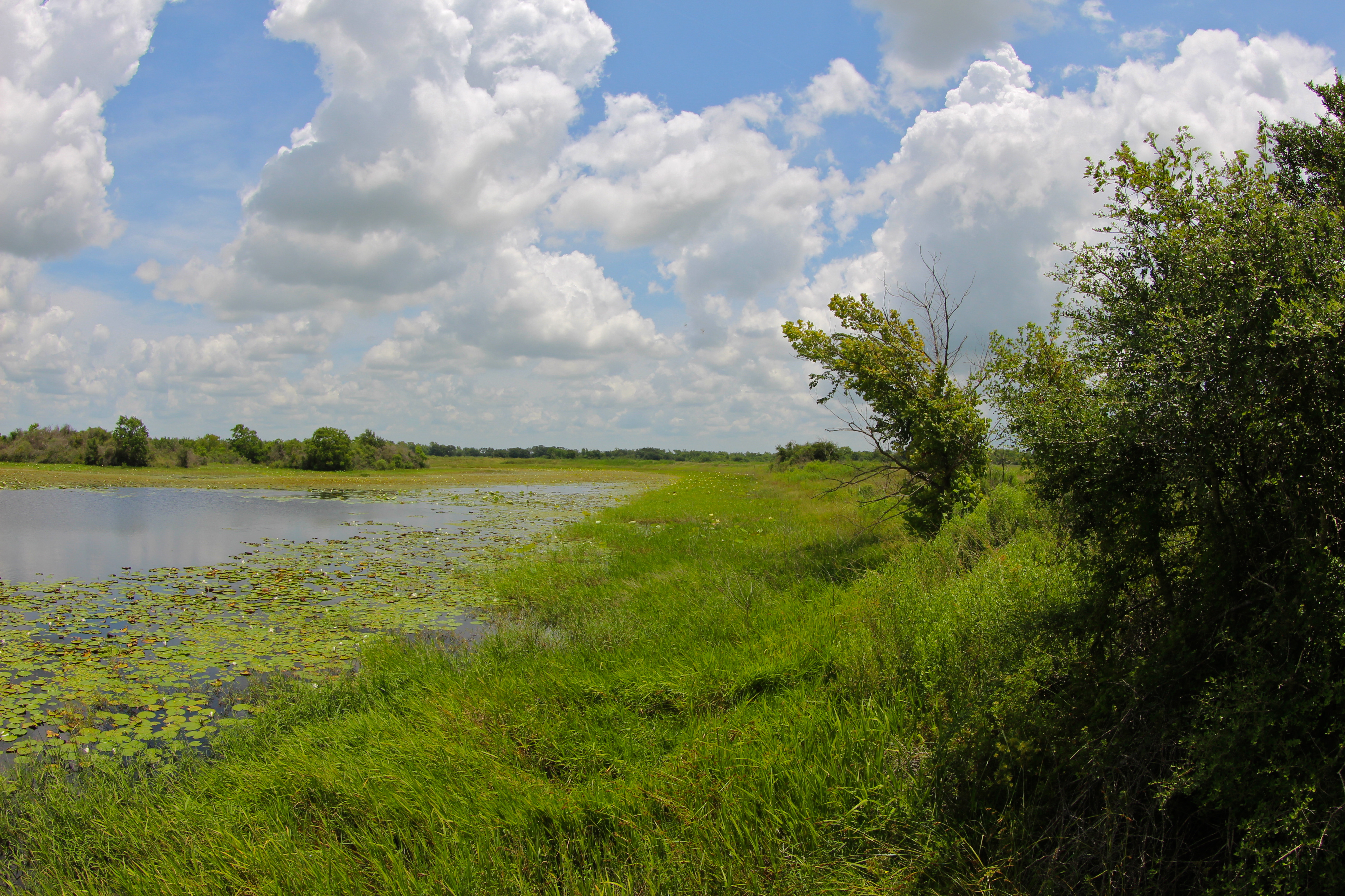
Wetland, Attwater Prairie Chicken NWR

Le Contes_Sparrow06c_12062014
APC-NWR_20131116_489_DSC_2649.jpg

Le Contes_Sparrow01c_12062014

APC-NWR_20131116_453_DSC_6492.jpg
APC-NWR_20131116_490_DSC_2650.jpg
Topographic Map of N McCarty Ave, Eagle Lake, TX, USA
Find elevation by address:

Places near N McCarty Ave, Eagle Lake, TX, USA:
Eagle Lake
Lakeside Dr, Eagle Lake, TX, USA
1021 Old Altair Rd
Altair, TX, USA
Altair
1038 Tower Rd
1508 Fm102
1459 Fm102
FM, Alleyton, TX, USA
Colorado County
Helms
Alleyton
County Road 103
County Road 103
4352 Tx-71
4253 Tx-71
Columbus, TX, USA
400 Spring St
St. Anthony's Catholic School
Walnut St, Columbus, TX, USA
Recent Searches:
- Elevation of Corso Fratelli Cairoli, 35, Macerata MC, Italy
- Elevation of Tallevast Rd, Sarasota, FL, USA
- Elevation of 4th St E, Sonoma, CA, USA
- Elevation of Black Hollow Rd, Pennsdale, PA, USA
- Elevation of Oakland Ave, Williamsport, PA, USA
- Elevation of Pedrógão Grande, Portugal
- Elevation of Klee Dr, Martinsburg, WV, USA
- Elevation of Via Roma, Pieranica CR, Italy
- Elevation of Tavkvetili Mountain, Georgia
- Elevation of Hartfords Bluff Cir, Mt Pleasant, SC, USA