Elevation of N Main St, Springtown, TX, USA
Location: United States > Texas > Parker County > Springtown >
Longitude: -97.683247
Latitude: 32.9838874
Elevation: -10000m / -32808feet
Barometric Pressure: 295KPa
Elevation Map:
Satellite Map:
Related Photos:

My morning view today. <3

Howard Ranch Entrance 2013

Pitching 2
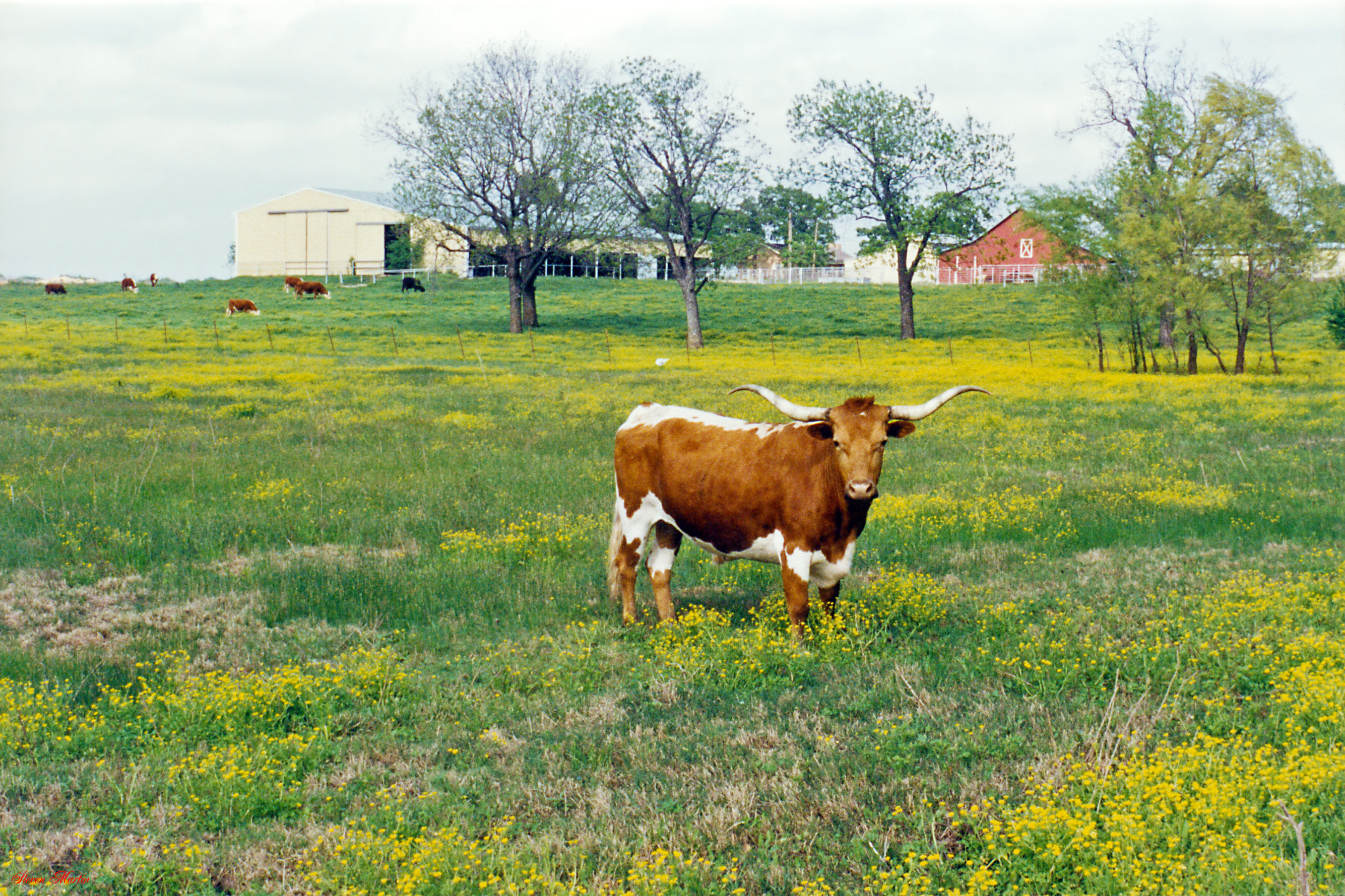
Longhorn in Pasture of Yellow Wildflowers

Texas Sunset

Horse as Landscape

Sunday ride

Clark Cemetery TxHM

Veal Station Cemetery 4, Veal Station, Texas

091617 DEN to IAH (17)
Topographic Map of N Main St, Springtown, TX, USA
Find elevation by address:

Places near N Main St, Springtown, TX, USA:
Springtown
3265 Springfield Rd
138 Summit Ridge Ln
Ross Lane
133 Alta Vista Ln
1360 S Reno Rd
E Hwy, Springtown, TX, USA
268 Denton Heights Ln
Sanctuary
109 Live Oak St
100 Churchill Cir
100 Churchill Cir
100 Churchill Cir
100 Churchill Cir
Briar
11124 Farm To Market Rd 730 S
717 Kerry Ln
Sanctuary, TX, USA
276 Prairie Ln
209 Stewart Bend Ct
Recent Searches:
- Elevation of Corso Fratelli Cairoli, 35, Macerata MC, Italy
- Elevation of Tallevast Rd, Sarasota, FL, USA
- Elevation of 4th St E, Sonoma, CA, USA
- Elevation of Black Hollow Rd, Pennsdale, PA, USA
- Elevation of Oakland Ave, Williamsport, PA, USA
- Elevation of Pedrógão Grande, Portugal
- Elevation of Klee Dr, Martinsburg, WV, USA
- Elevation of Via Roma, Pieranica CR, Italy
- Elevation of Tavkvetili Mountain, Georgia
- Elevation of Hartfords Bluff Cir, Mt Pleasant, SC, USA