Elevation of N Main St, Enigma, GA, USA
Location: United States > Georgia > Berrien County > Enigma >
Longitude: -83.329326
Latitude: 31.4122992
Elevation: 97m / 318feet
Barometric Pressure: 100KPa
Elevation Map:
Satellite Map:
Related Photos:

None the Worse for Wear

Alapaha River

P1000290.JPG

Calico Pennant
P1000293.JPG

P1000291.JPG
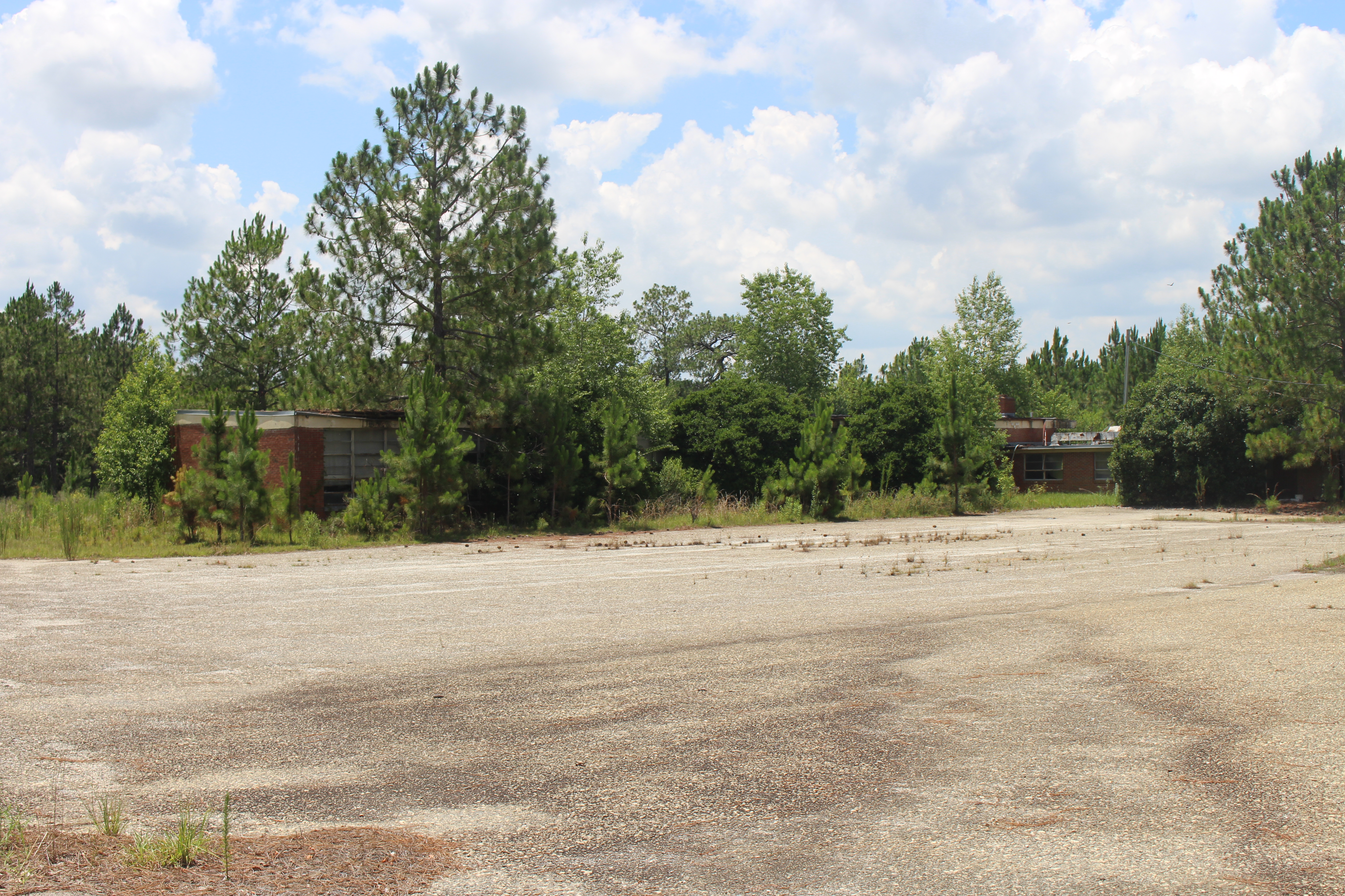
West Berrien School

WP_20160502_12_55_35_Rich (2)

WP_20160112_17_45_18_Pro_LI (2)

WP_20160112_17_45_23_Pro_LI (2)

El amor descrito en la Biblia

Little trip to #Paradise with Kathleen

Okefenokee--4

Cloud Cluster #1
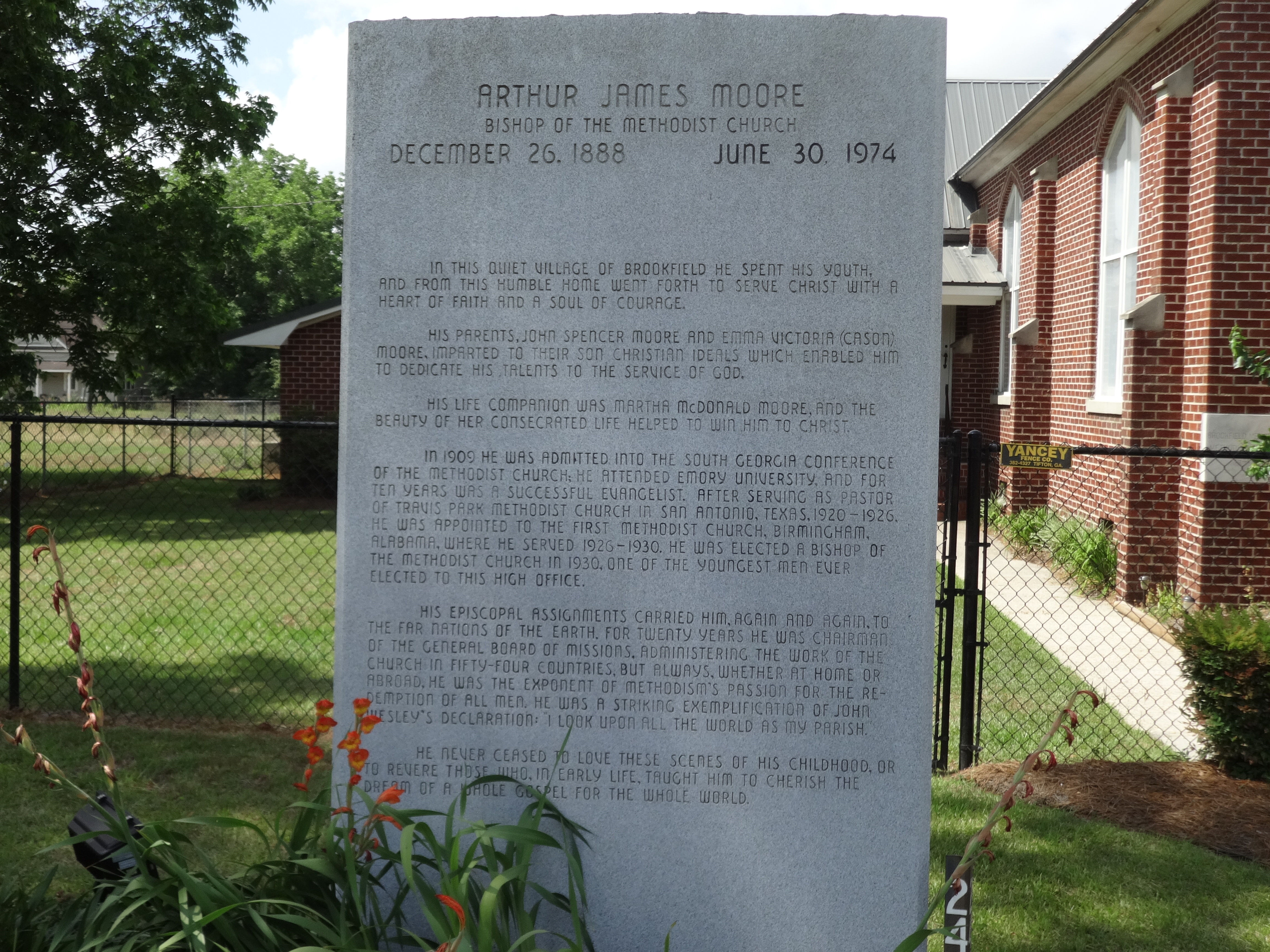
Arthur James Moore, Bishop of the Methodist Church, memorial

Brookfield Baptist Church corner stone
Brookfield Baptist Church
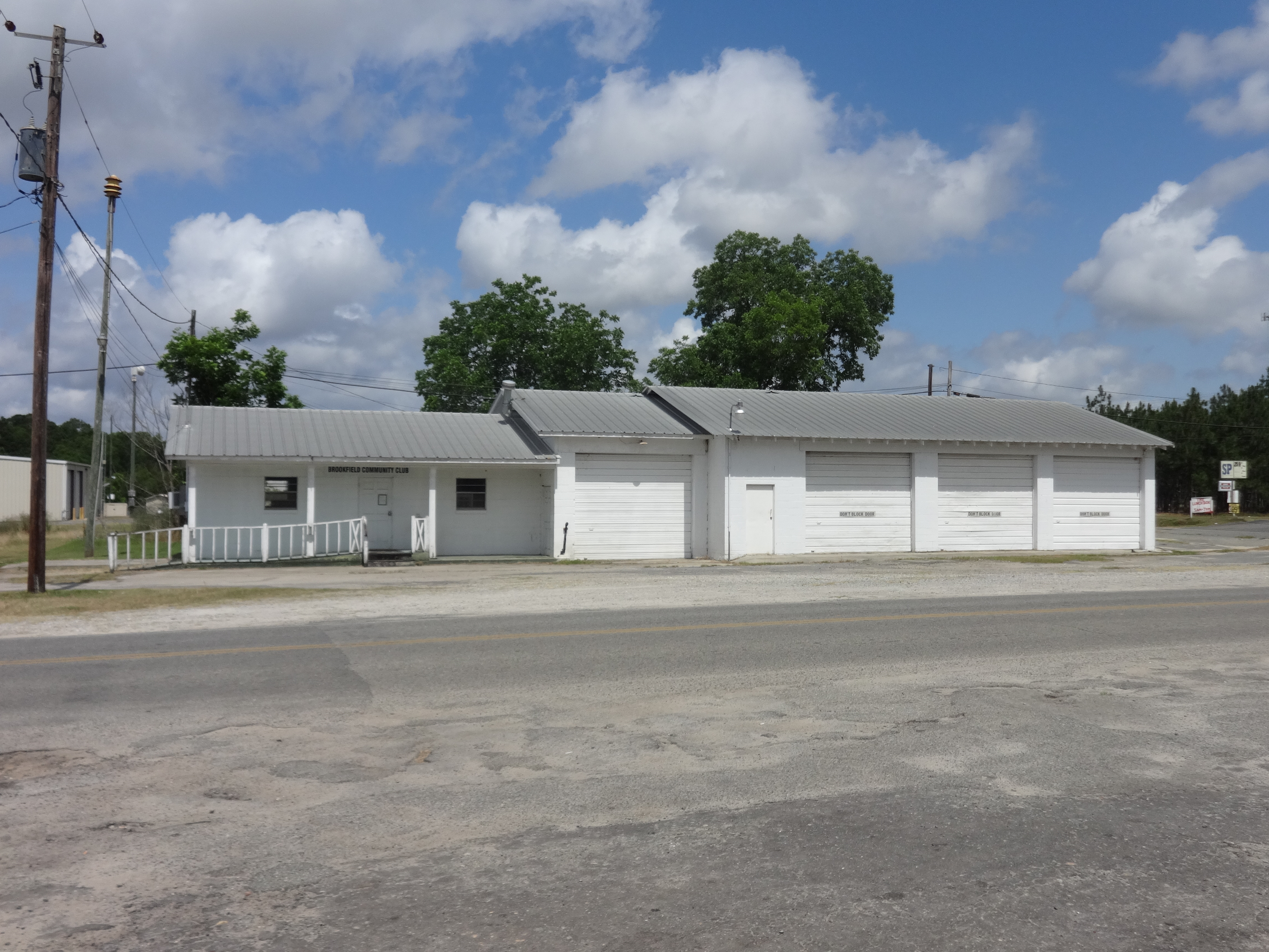
Brookfield Community Club
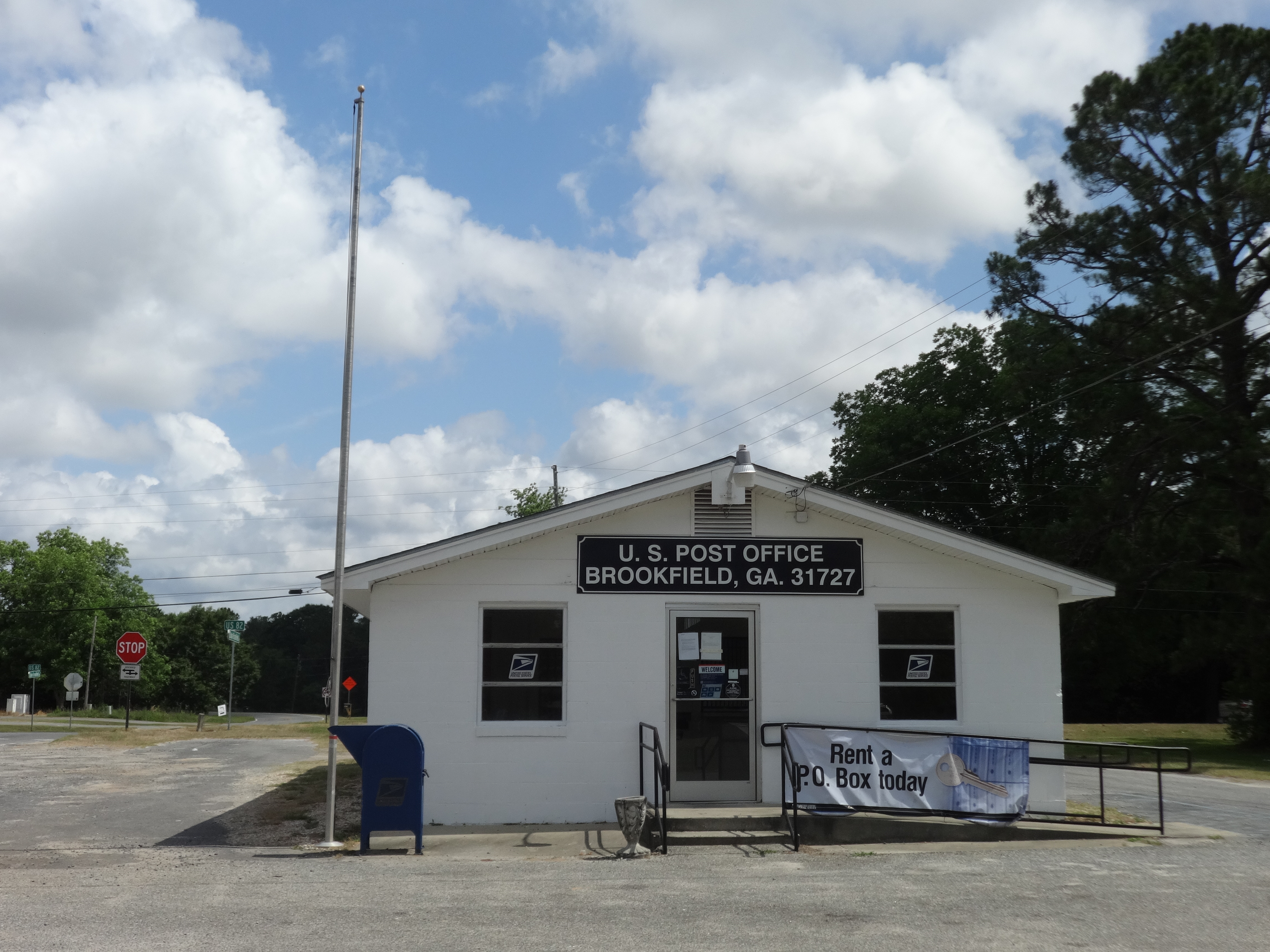
Brookfield Post Office
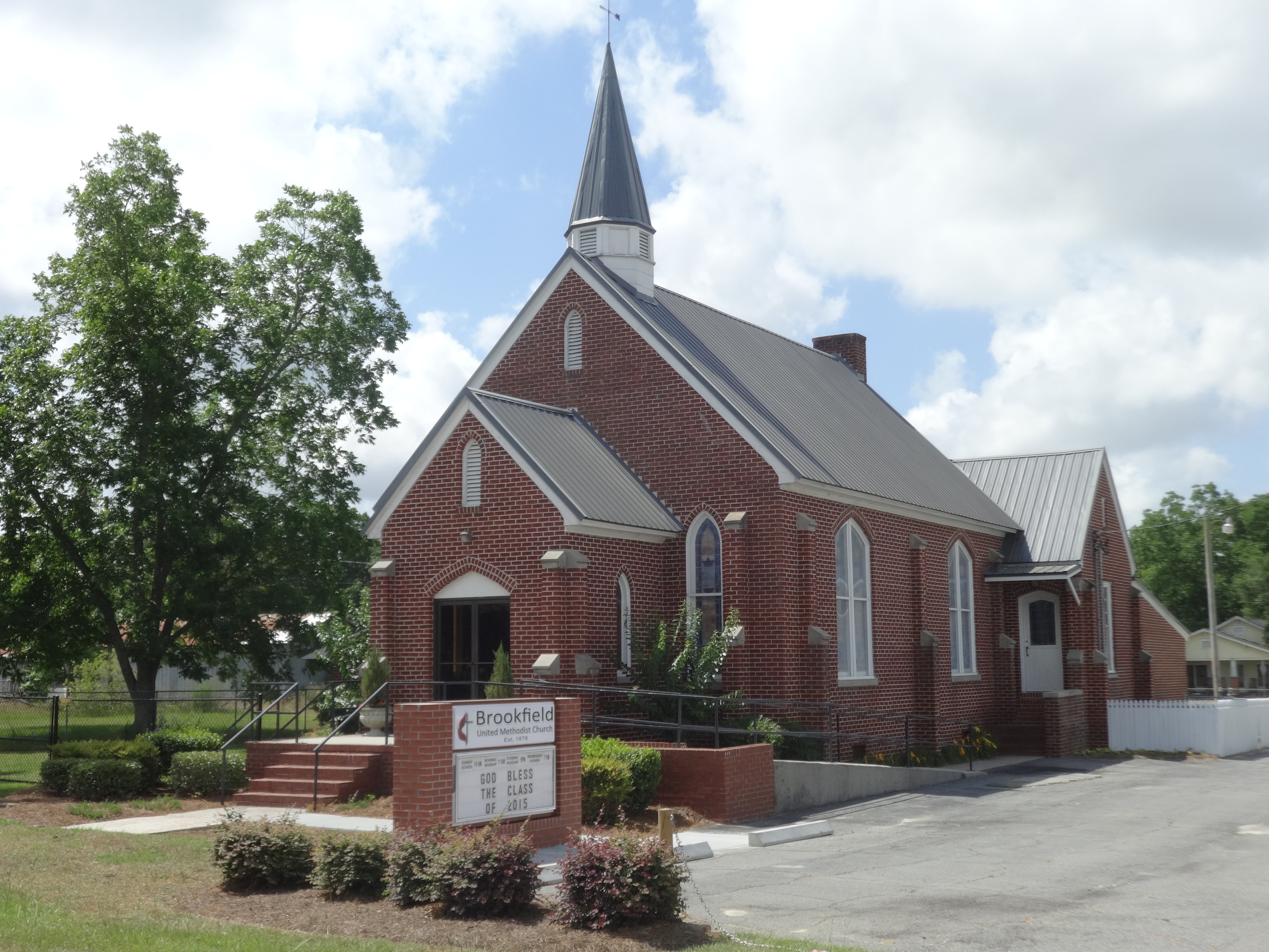
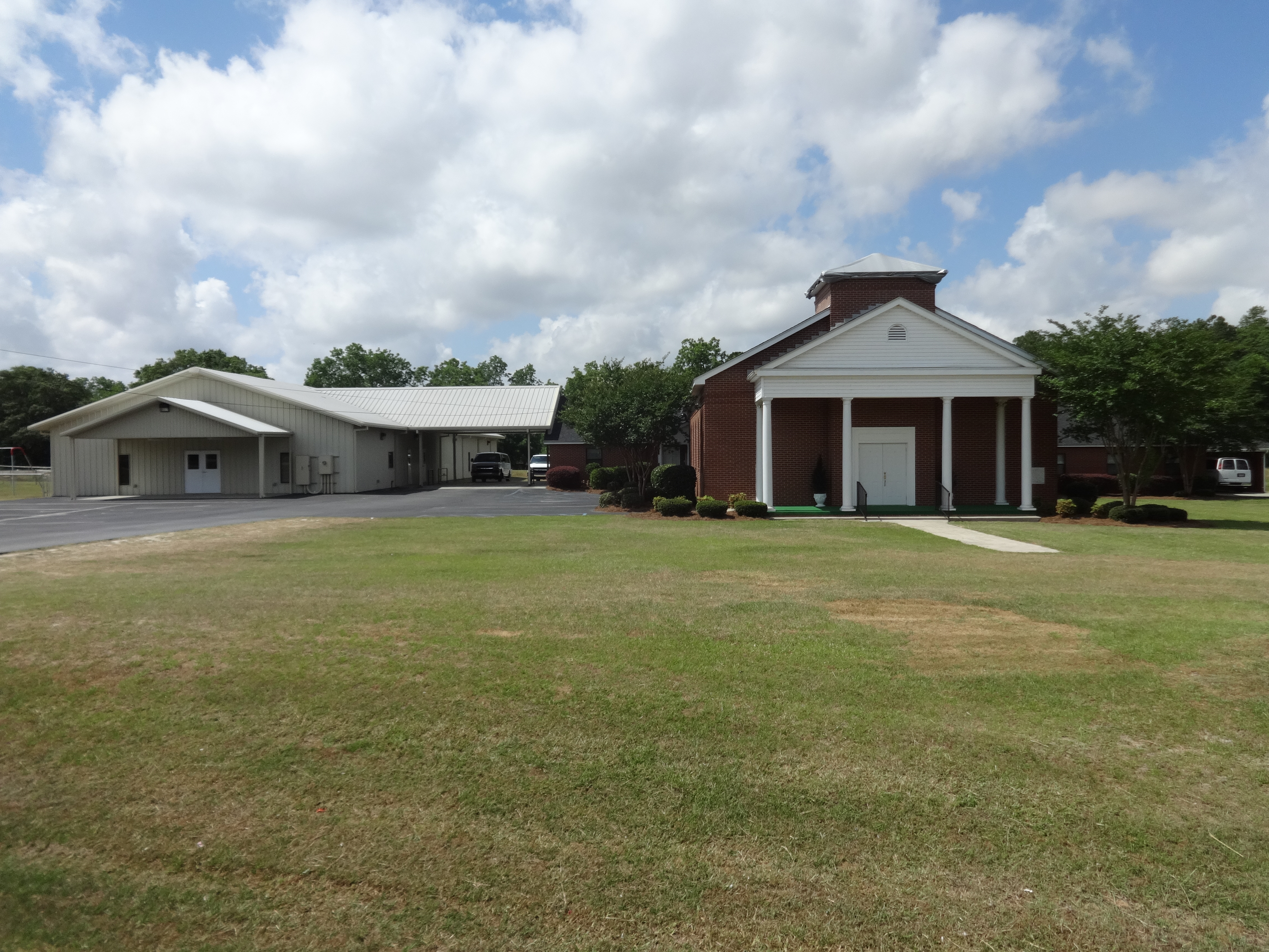
Brookfield United Methodist Church
Topographic Map of N Main St, Enigma, GA, USA
Find elevation by address:

Places near N Main St, Enigma, GA, USA:
Enigma
Hardy Millpond
Chula Brookfield Rd, Tifton, GA, USA
Riverbend Church Ln, Ocilla, GA, USA
US-, Alapaha, GA, USA
Alapaha
US-82, Alapaha, GA, USA
397 Lindsey-goff Rd
292 Mt Olive Church Rd
505 Paulk Rd
Old Ocilla Rd, Tifton, GA, USA
Berrien County
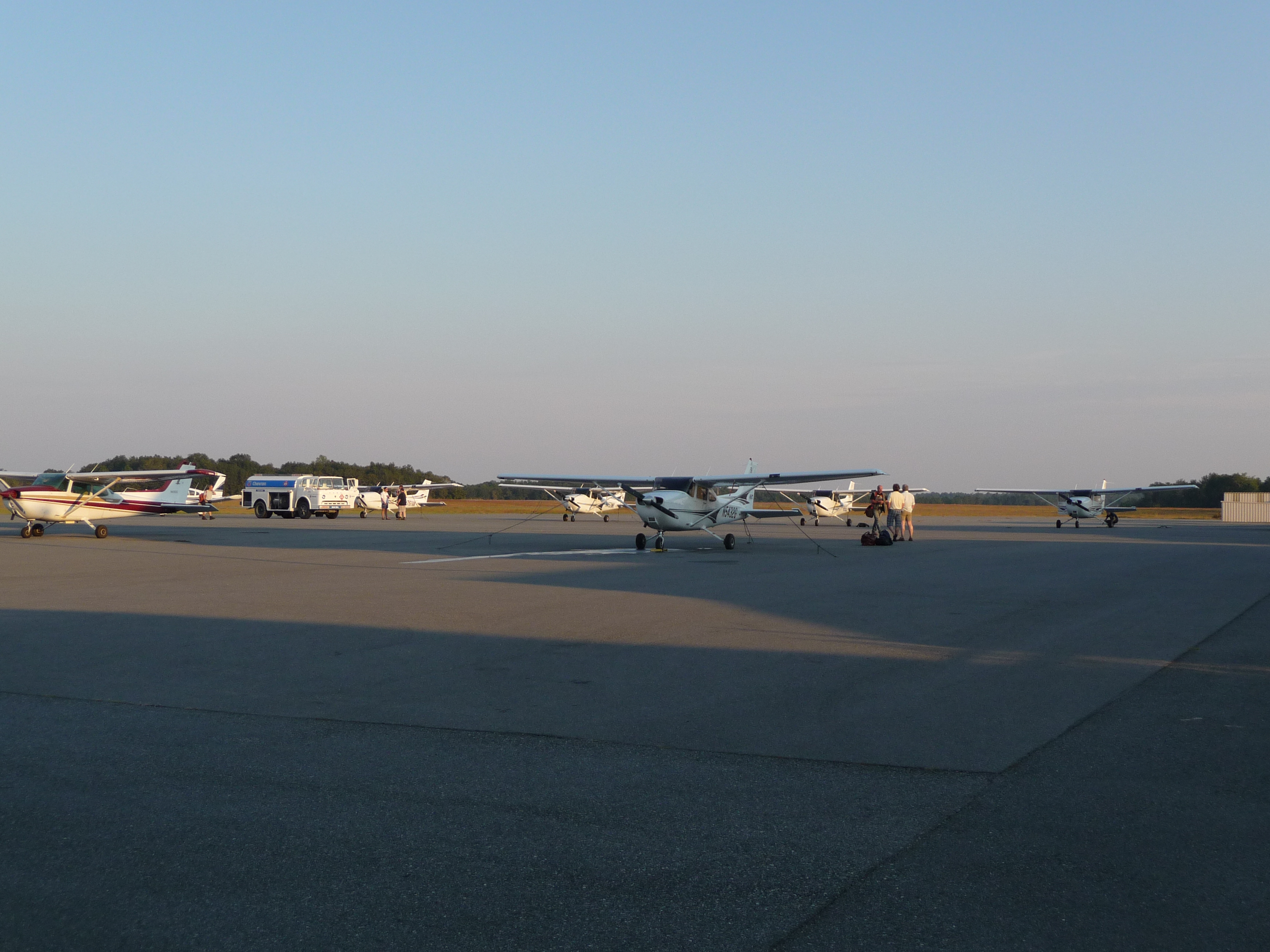
Henry Tift Myers Airport-tma
40 Oquinn Rd
293 Poppy Rd
U.S. 41 S, Tifton, GA, USA
4220 Us-41
U.S. 41 S, Tifton, GA, USA
Irwin County
Tifton
Recent Searches:
- Elevation of Corso Fratelli Cairoli, 35, Macerata MC, Italy
- Elevation of Tallevast Rd, Sarasota, FL, USA
- Elevation of 4th St E, Sonoma, CA, USA
- Elevation of Black Hollow Rd, Pennsdale, PA, USA
- Elevation of Oakland Ave, Williamsport, PA, USA
- Elevation of Pedrógão Grande, Portugal
- Elevation of Klee Dr, Martinsburg, WV, USA
- Elevation of Via Roma, Pieranica CR, Italy
- Elevation of Tavkvetili Mountain, Georgia
- Elevation of Hartfords Bluff Cir, Mt Pleasant, SC, USA