Elevation of N Keen Pl, Tucson, AZ, USA

Location: United States > Arizona > Pima County > Tucson >

Longitude: -110.80437

Latitude: 32.2284235

Elevation: 808m / 2651feet

Barometric Pressure: 92KPa

Elevation Map:

elevation map of N Keen Pl, Tucson, AZ, USA

Satellite Map:

Satellite map of N Keen Pl, Tucson, AZ, USA

Related Photos:

doublecrested cormorant bird animal ngc park pond log wood water l canon common 7dmarkii explore eos explored ef400mm56l quality arizona wing waterbird stick flight flickrelite fly view tucson tail webbed green gray bokeh blue beyondbokeh bill black brown branch yellow eyes eyeball
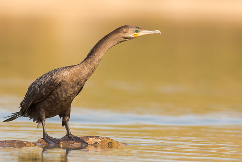
Neotropic Cormorant
piedbilled grebe bird animal arizona wing water white waterbird explore explored eos ef400mm56l eyes desert color canon common flight fly flickrelite view tucson tail bokeh beyondbokeh beak brown ngc park pond lake
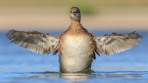
Pied-billed Grebe
doublecrested cormorant bird animal ngc park pond log wood water l canon common 7dmarkii explore eos explored ef400mm56l quality arizona wing waterbird stick flight flickrelite fly view tucson tail webbed green gray bokeh blue beyondbokeh bill black brown branch yellow eyes eyeball
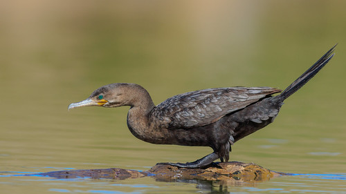
Neotropic Cormorants
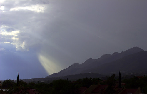
Pusch Ridge in the rain. Santa Catalina Mountains, Tucson, Arizona.
Desert decor. Tucson, Arizona.
arizona southwest photoshop desert tucson sony scenic oldtown traildusttown cs4 dslra350 dslr350 sonydslra350 lgeof
Moving In
arizona sky eye nature night circle star la long exposure tucson balcony north trails az paloma resort astrophotography astronomy railing streaks spa westin startrails polaris starstax
Holiday 2011 20 - Eye of the Sky
nightphotography blue light fab southwest water fountain photoshop buildings lights nightshot tucson sony lightning soe cs4 colorefex impressedbeauty dslra350 dslr350 sonydslra350 stphilipsplaza lgeof
Electric Fountain :: Non-HDR
square squareformat iphoneography instagramapp uploaded:by=instagram foursquare:venue=4b0586cdf964a5202f6f22e3
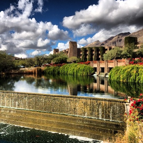
Wow view
park arizona moon tree night tucson dusk explore
courage and the moon [IMG_1090]
arizona lightning stormchasing
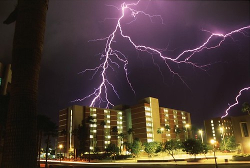
Close Lightning
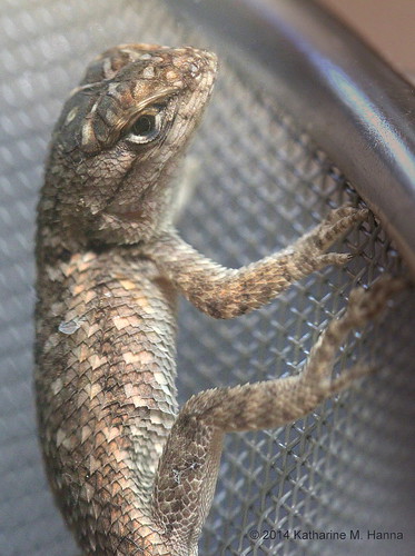
Juvenile Clark’s Spiny Lizard (Sceloporus clarkii). Tucson, Arizona.
square squareformat iphoneography instagramapp uploaded:by=instagram
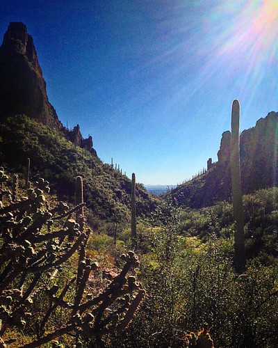
The view on the way back. #CoffeeKen #divine_deserts #adventureanywhere #hiking #azlife #borntobunk #hiking
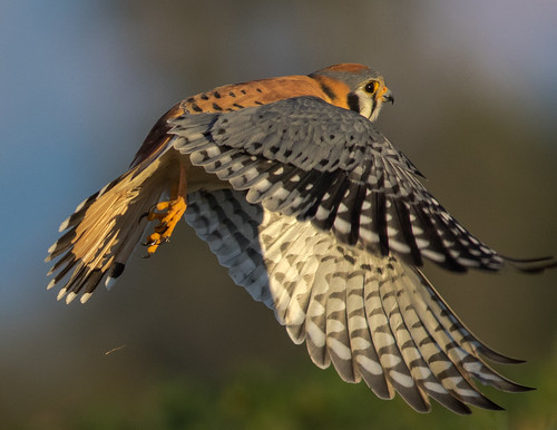
american kestrel male bird animal hawk falcon birdofprey ngc arizona wing white sky explore explored eyes eos ef400mm56l desert canon common raptor flight flickrelite fly view tucson tail talons green gray blue bokeh beyondbokeh beak black brown yellow orange
Male American Kestrel
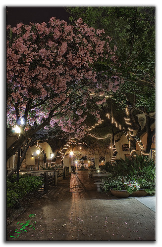
nightphotography pink light arizona southwest night photoshop lights nightshot sony scenic az noflash explore lightning hdr cs4 photomatix colorefex hdrpool dslra350 dslr350 sonydslra350 stphilipsplaza lgeof
Cherry Blossoms by Night :: HDR
At the Benedictine Monastery, 2. Tucson, Arizona.
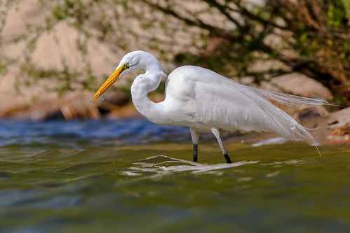
great egret breeding plumage lake pond bird canon eos 5d markiv ef400mm56l explore explored ngc flickrelite fishing fly quality arizona wing water waterbird white eat desert color common view tucson tail feather green bokeh beyondbokeh blue bill park
Great Egret Breeding Plumage
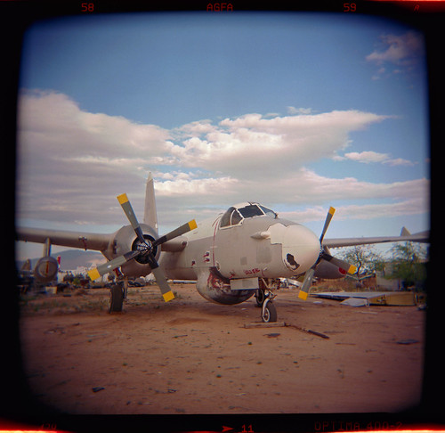
arizona usa southwest west color 120 film graveyard clouds analog mediumformat square airplane holga desert tucson aircraft aviation military toycamera navy ishootfilm plasticfantastic negative ii american 400 medium format junkyard analogue 60mm davis agfa bomber lockheed retired usaf propeller scrap neptune derelict f8 vignette usn boneyard p2 coldwar plasticcamera 120s holga120s emulsion optima amarc c41 davismonthanafb monthan airplanegraveyard eyetwist holgaography airplaneboneyard agfaoptimaii400 scansfromthearchives holga60mmf8 amarg eyetwistkevinballuff colornegativec41
derelict neptune. tucson, az. 1999.
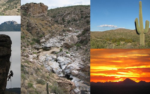
tanqueverdefalls
Sad Hike // Upper Tanque Verde Falls
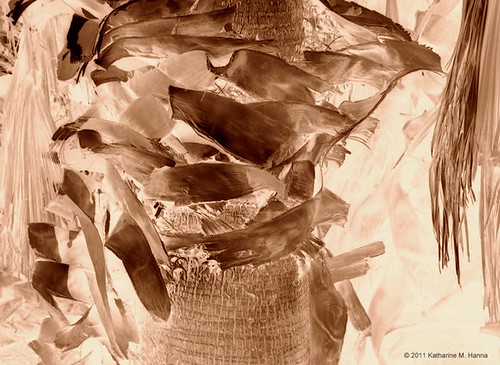
Palm fibers. Agua Caliente Park. Tucson, Arizona.
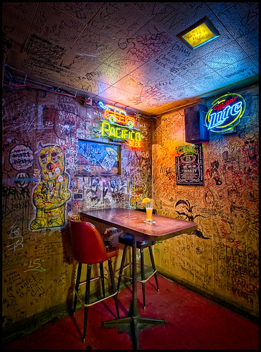
arizona beer architecture bar vintage graffiti tucson interior historic tavern nik blend thebuffet bugeyedg
"all roads lead to The Buffet"