Elevation of N Jackson Hwy, Munfordville, KY, USA
Location: United States > Kentucky > Hart County >
Longitude: -85.759112
Latitude: 37.3397052
Elevation: 207m / 679feet
Barometric Pressure: 99KPa
Elevation Map:
Satellite Map:
Related Photos:
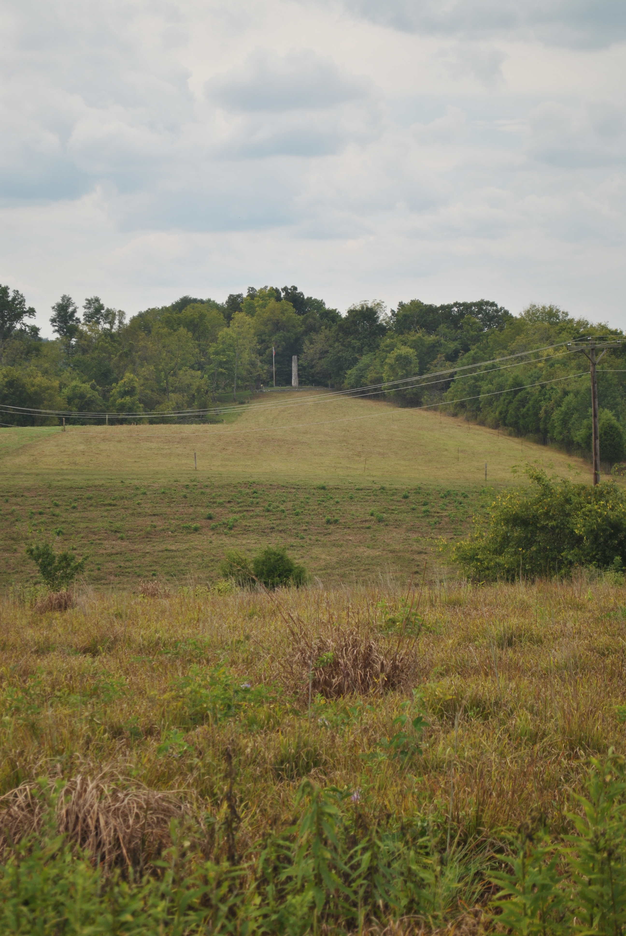
Munfordville Battlefield
View from Fort Craig
Cave country
Munfordville Battlefield
Colonel Robert A. Smith Monument
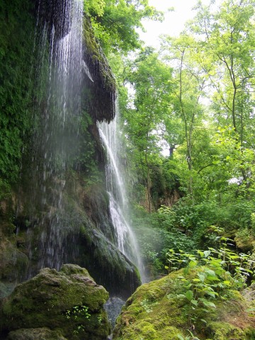
300 Springs 13
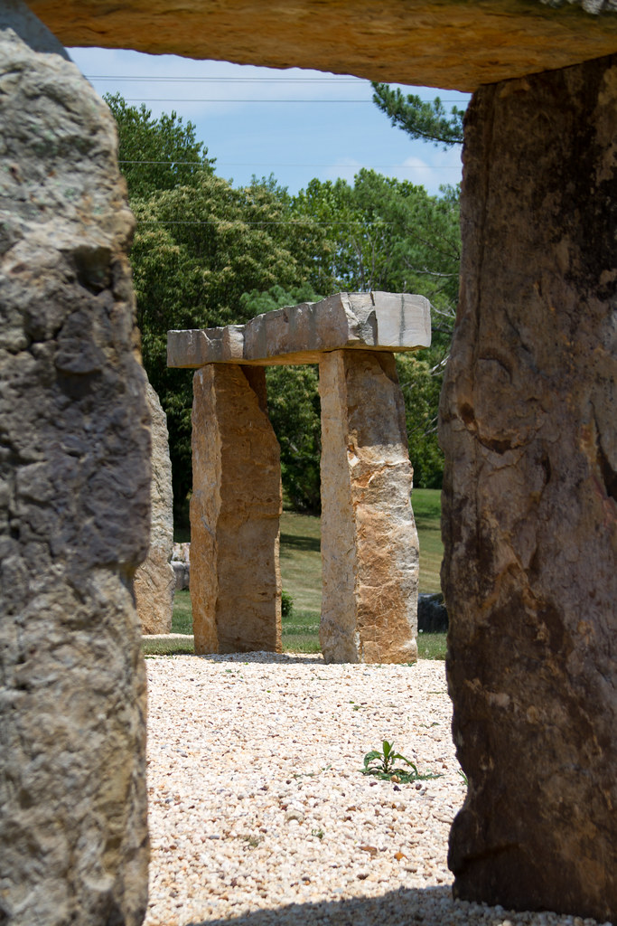
KY Stonehenge
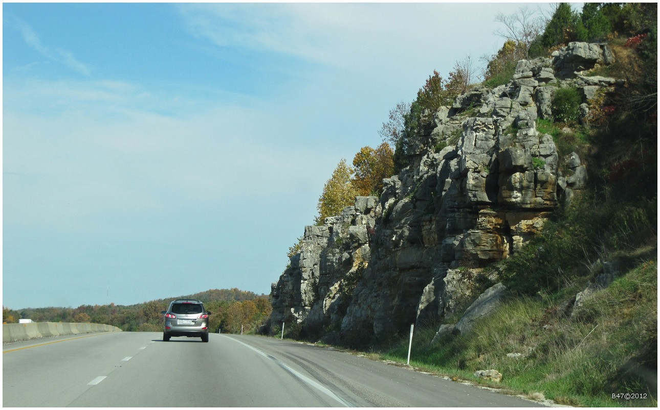
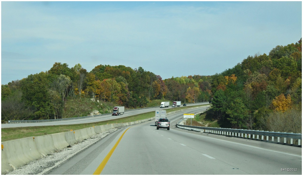
From Bowling Green on I65 North - Kentucky - USA
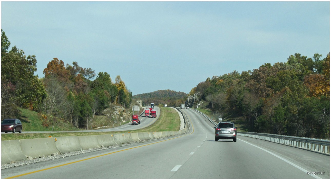
From Bowling Green on I65 North - Kentucky - USA
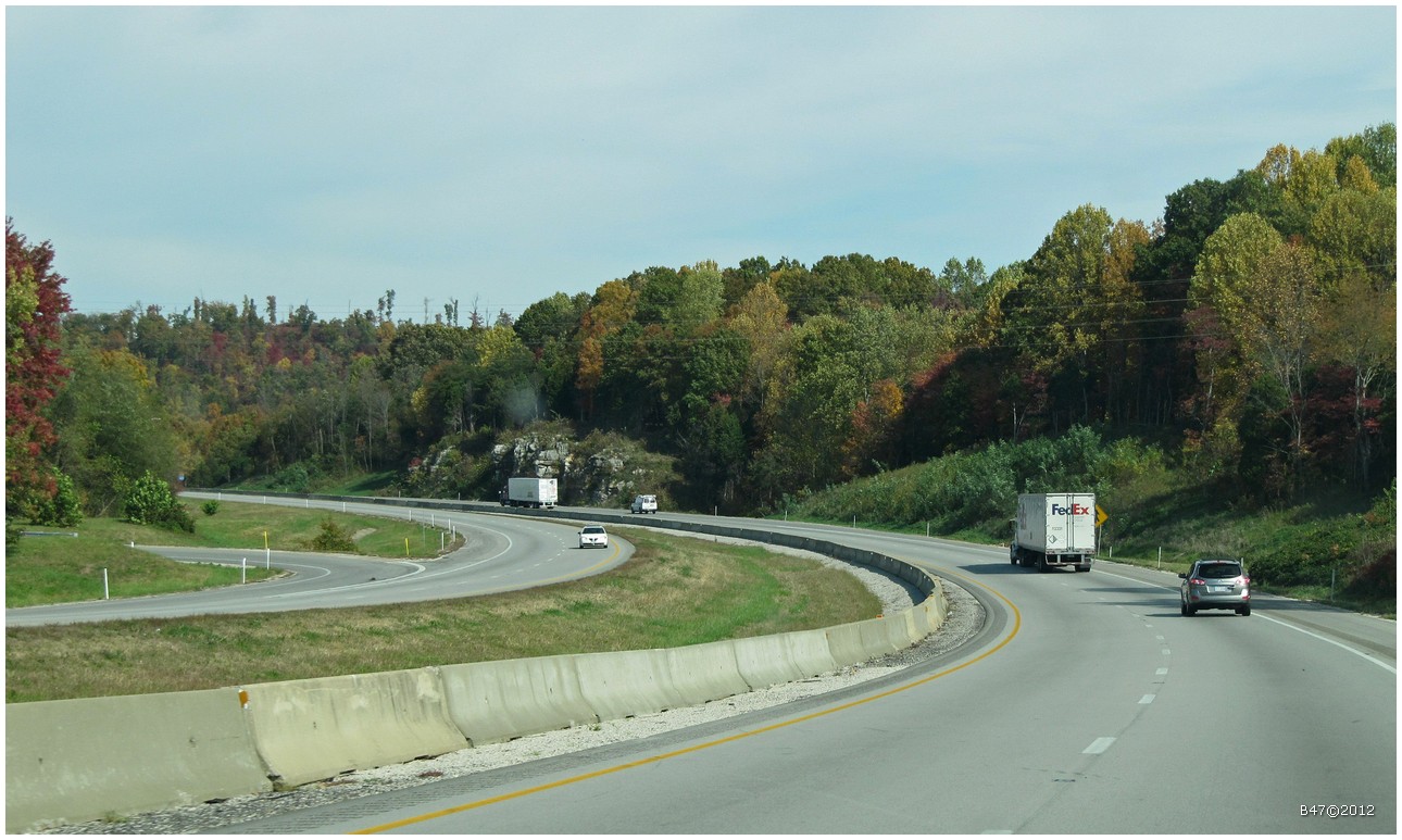
From Bowling Green on I65 North - Kentucky - USA
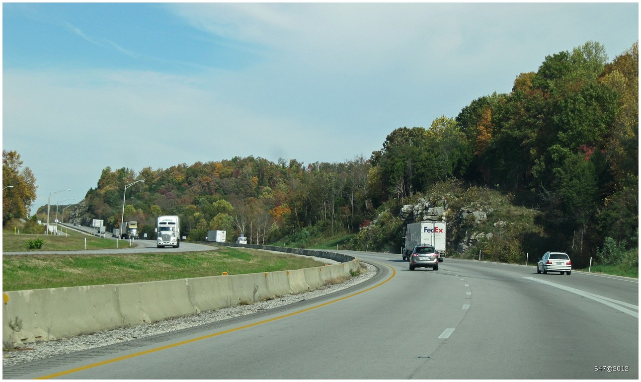
From Bowling Green on I65 North - Kentucky - USA
From Bowling Green on I65 North - Kentucky - USA
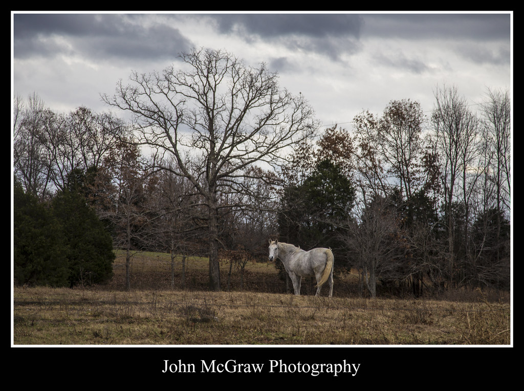
Kentucky horse
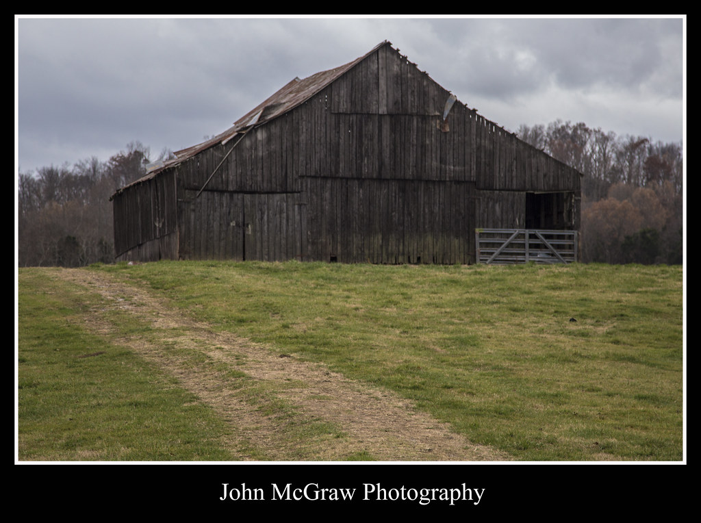
Path to Kentucky Barn
Topographic Map of N Jackson Hwy, Munfordville, KY, USA
Find elevation by address:

Places near N Jackson Hwy, Munfordville, KY, USA:
N Jackson Hwy, Munfordville, KY, USA
Magnolia
Hudgins Hwy, Summersville, KY, USA
685 Whickerville Rd
685 Whickerville Rd
685 Whickerville Rd
685 Whickerville Rd
Mt Sherman Rd, Mt Sherman, KY, USA
7845 New Jackson Hwy
Greensburg Rd, Buffalo, KY, USA
538 Gabe-henderson Rd
Larue County
Buffalo
Gabe Rd, Summersville, KY, USA
437 Montgomery Mill Rd
Green County
Summersville
22 Summersville Rd
420 Hidden Ln
420 Hidden Ln
Recent Searches:
- Elevation of Corso Fratelli Cairoli, 35, Macerata MC, Italy
- Elevation of Tallevast Rd, Sarasota, FL, USA
- Elevation of 4th St E, Sonoma, CA, USA
- Elevation of Black Hollow Rd, Pennsdale, PA, USA
- Elevation of Oakland Ave, Williamsport, PA, USA
- Elevation of Pedrógão Grande, Portugal
- Elevation of Klee Dr, Martinsburg, WV, USA
- Elevation of Via Roma, Pieranica CR, Italy
- Elevation of Tavkvetili Mountain, Georgia
- Elevation of Hartfords Bluff Cir, Mt Pleasant, SC, USA