Elevation of N Illinois St, Hanna, IN, USA
Location: United States > Indiana > Laporte County > Hanna Township > Hanna >
Longitude: -86.778849
Latitude: 41.4131352
Elevation: 217m / 712feet
Barometric Pressure: 99KPa
Elevation Map:
Satellite Map:
Related Photos:
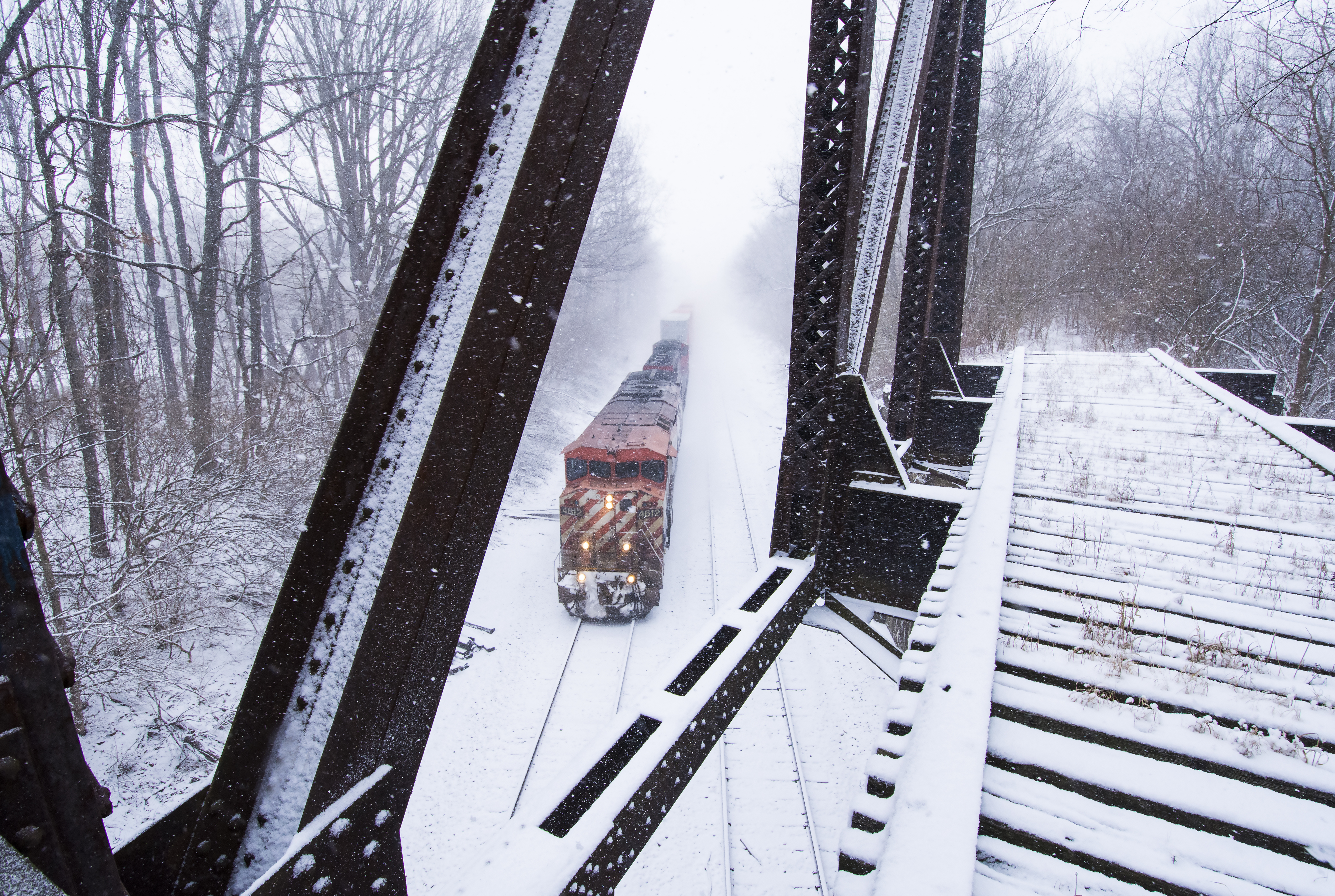
View From the Wabash

Hard Worker!

Apple Train
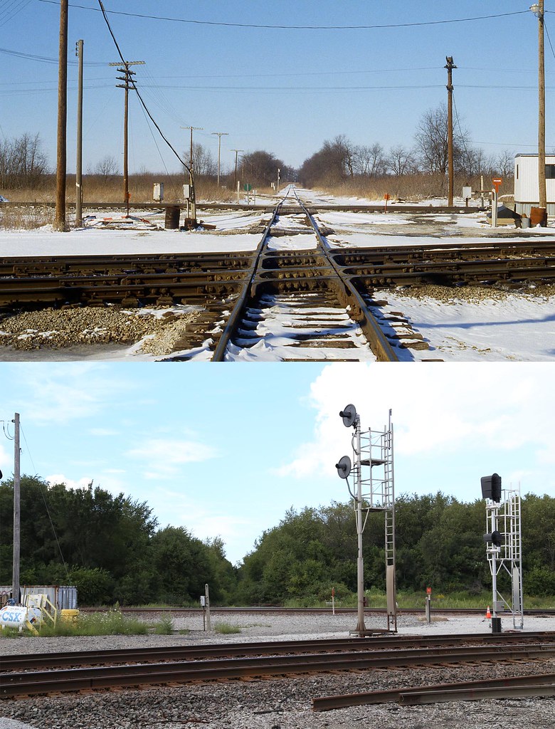
C&O, Grand Trunk, B&O crossing, Wellsboro, Indiana

CSX Radioactive train #2
A Bug's View

Wanatah Watch Out (1)

19670917 05 GTW, Kingsbury, Indiana

IMG_6627c 20x10 2

CKIN Extra

Iron Grain

Snowy Owl 2 by SpeedyJR

Second Solo X-Country

Indiana Sunset Sky
Topographic Map of N Illinois St, Hanna, IN, USA
Find elevation by address:

Places near N Illinois St, Hanna, IN, USA:
Hanna
Hanna Township
Noble Township
S W, Wanatah, IN, USA
Laporte County
Union Mills
Railroad St, Union Mills, IN, USA
Rice Farms Llc
Hamilton St, Union Mills, IN, USA
Cass Township
25 E N, Knox, IN, USA
E S, Hamlet, IN, USA
Wanatah
S W, Wanatah, IN, USA
Union Township
Pleasant St, La Porte, IN, USA
Kingsbury
15 N Washington St, La Crosse, IN, USA
La Crosse
US-6, Hamlet, IN, USA
Recent Searches:
- Elevation of Corso Fratelli Cairoli, 35, Macerata MC, Italy
- Elevation of Tallevast Rd, Sarasota, FL, USA
- Elevation of 4th St E, Sonoma, CA, USA
- Elevation of Black Hollow Rd, Pennsdale, PA, USA
- Elevation of Oakland Ave, Williamsport, PA, USA
- Elevation of Pedrógão Grande, Portugal
- Elevation of Klee Dr, Martinsburg, WV, USA
- Elevation of Via Roma, Pieranica CR, Italy
- Elevation of Tavkvetili Mountain, Georgia
- Elevation of Hartfords Bluff Cir, Mt Pleasant, SC, USA