Elevation of N Hillside Dr #, North Myrtle Beach, SC, USA

Location: United States > South Carolina > Horry County > North Myrtle Beach >

Longitude: -78.671326

Latitude: 33.8257511

Elevation: 8m / 26feet

Barometric Pressure: 101KPa

Elevation Map:

elevation map of N Hillside Dr #, North Myrtle Beach, SC, USA

Satellite Map:

Satellite map of N Hillside Dr #, North Myrtle Beach, SC, USA

Related Photos:

beach frank south explore carolina myrtle condominium explored szekely landsendresort frankszekely
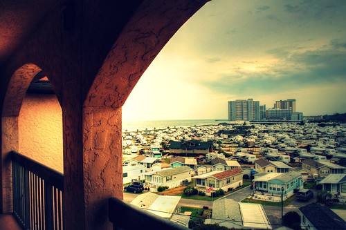
Looking 'South-ish' Explore! (June 23, 2011, #58)
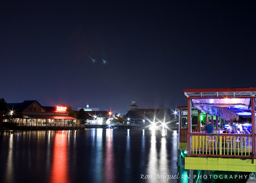
longexposure southcarolina hale kamote northmyrtlebeach canoneos400d canonrebelxti kamoteus2003 kamoteus burabog ronmiguelrn thedayyousaidgoodnight
bare foot landing @ night... the boardwalk ;-)
explore frontpage
Day 1239 - Wilson (Seriously People, No More Pictures Of The Dog For A While, It's Getting Ridiculous)
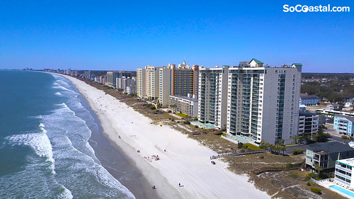
socoastal northmyrtlebeach oceanbayclub drone southcarolina beach ocean travel
Aerial view of Ocean Bay Club in North Myrtle Beach, SC
sunrise cherrygrovepier canonef28mmf18
Beach gallery-1
North Myrtle
Looking North @NMB
sunrise myrtletrips
Sunrise in Myrtle Beach
sc geotagged myrtlebeach pier apache nikon southcarolina campground hdr topaz photomatix tonemapped dougjohnson d700 topazadjust geo:lat=33763973 geo:lon=78781996 bigjohnsonblogspotcom
Spring Break at Myrtle Beach
sunset beach south north carolina myrtle
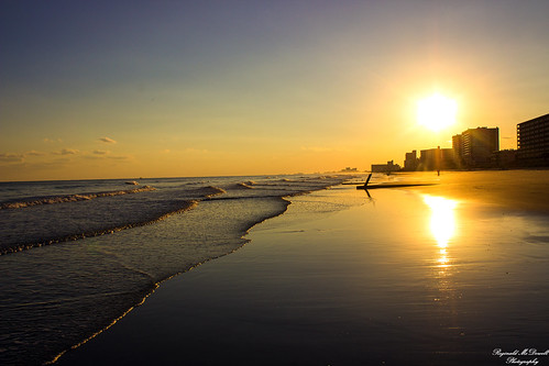
Sunset at North Myrtle Beach, S.C.
vacation southcarolina favorites beaches 500views sunrises 2008 atlanticocean 1000views beautysecret 10favorites cherrygrovebeach 1500views 5favorites galleried
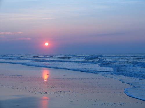
Sunrise at Cherry Grove Beach, SC
atlanticocean beach googleearth haroldbrown myrtlebeach nikon nikond90 ocean outdoor seaside shoreline sky southcarolina summer travel usa vanishingpoint views water bhagavideocom clouds haroldbrowncom harolddashbrowncom photosbhagavideocom
Myrtle Beach
travel usa ontario canada bird pembroke photography myrtlebeach us spring unitedstates bokeh wildlife southcarolina telephoto fullframe petawawa bluemacaw 2016 northmyrtlebeach photodujour alligatoradventure canoneos6d thousandwordimages dustinabbott dustinabbottnet adobephotoshopcc canonef100400mmf4556lisusmii adobelightroomcc alienskinexposurex
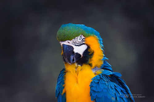
The Blue Macaw
sc canon mark foggy rainy 5d “long ii” exposure” beach” “south “fishing pier” ocean” “canon 2013 “atlantic carolina” “apache “myrtle bestcapturesaoi mygearandme mygearandmepremium mygearandmebronze photographyforrecreation 24mm105mm” rememberthatmomentlevel4 rememberthatmomentlevel1 rememberthatmomentlevel2 rememberthatmomentlevel3 bestevercompetitiongroup rememberthatmomentlevel9 rememberthatmomentlevel5 rememberthatmomentlevel6 rememberthatmomentlevel10 besteverexcellencegallery vigilantphotographersunite vpu2 vpu3 pier”cnpa
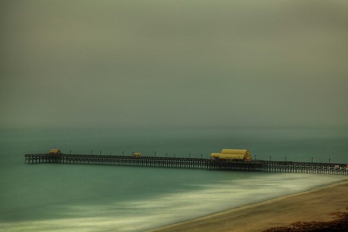
Apache Pier 7/52
sc geotagged myrtlebeach pier apache nikon southcarolina campground hdr topaz photomatix tonemapped dougjohnson d700 topazadjust bigjohnsonblogspotcom geo:lat=33761408 geo:lon=78779995
Sunset at the Apache Pier
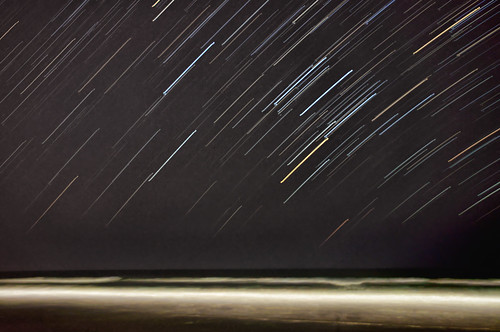
ocean longexposure beach stars star trails myrtle startrails northmyrtlebeach nikond90 nikon1685vr
Myrtle Beach star trails
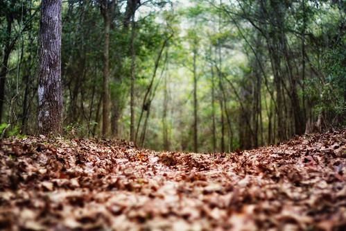
trees forest myrtlebeach woods path southcarolina fallenleaves canon1022mm groundperspective meherspiritualcenter canon450d
The Beauty of Myrtle Beach Forests
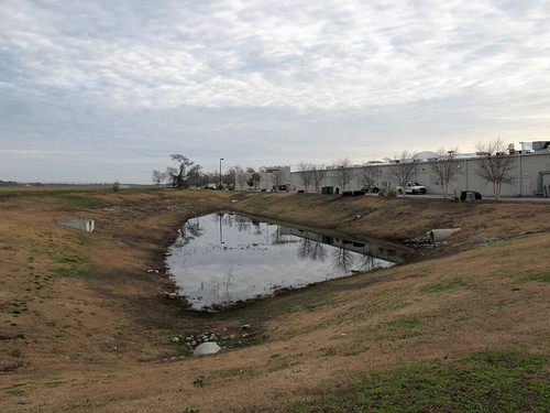
southcarolina northmyrtlebeachsouthcarolina northmyrtlebeach horrycountysouthcarolina horrycounty myrtlebeachmetropolitanarea grandstrand northeasternsouthcarolina northeastsouthcarolina 20121231 newyearseve december2012 december 2012 windyhillbeach windyhillbeachneighborhood windyhill windyhillneighborhood barefootcommons barefootcommonsshoppingcenter barefootcommonsstripmall stripmall shoppingcenter backsideofstripmall backsideofshoppingcenter grandstrandairport view landscape southcarolinalandscape northmyrtlebeachlandscape pond drainagepond retentionpond retentionbasin stagnantwater standingwater drainagepipes stormwaterretention stormwaterrunoff endorheicbasin manmadeendorheicbasin lightpole grass mowedgrass mowed browngrass overcast concretepipes stormwaterpipes stagnantpond stagnantpool img4650v2
A stagnant pool of stinking water, nestled in a depression between a small general aviation airport and the backside of a stripmall in North Myrtle Beach.
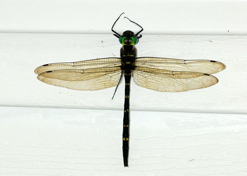
dragonfly southcarolina cruiser longs horrycounty macromia rivercruiser royalrivercruiser macromiataeniolata
Royal River Cruiser (Macromia taeniolata), Dorsal View
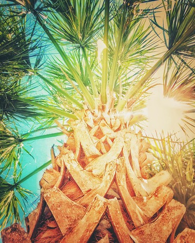
square squareformat clarendon iphoneography instagramapp uploaded:by=instagram
Missing This View #vsco #vscocam #igers #vscogram #instamood #instagood #lookingup #instagram #instadaily #instagramhub #vscogrid #vscophile
NMB Silver & Blue
southcarolina vereengardens
LK_20170408_0170_HDR-sm
Day 901 - Sunset Over The Marsh
Camera Roll-11017
Camera Roll-10046
watiesisland
LK_20140727_0101_HDR-sm
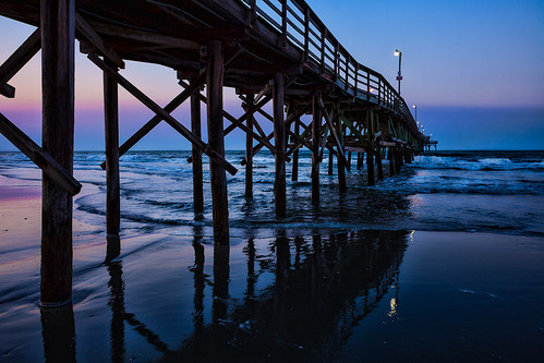
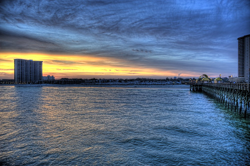
ocean morning blue sky beach nature water weather clouds sunrise landscape pier cloudy weatherphotography
Morning at the Pier
uploaded:by=flickrmobile flickriosapp:filter=nofilter
The Beach
watiesisland horrycountysc
LK_20120520_0028-sm
cherrygrovebeach southcarolina sunset
LK_20170408_0206-sm
Camera Roll-10251
unitedstates southcarolina littleriver vereengardens
LK_20140605_0035_HDR-sm
unitedstates southcarolina littleriver vereengardens
LK_20140605_0040_HDR-sm
beach sunrise
ripples-1
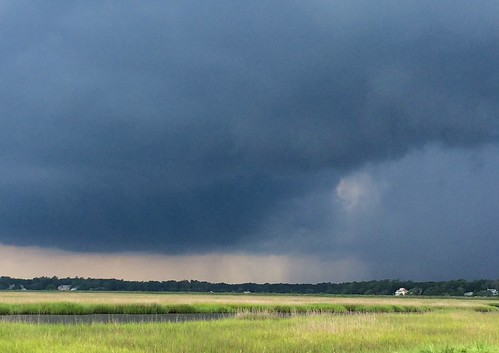
Thunderstorm approaching Sea Trail.
2011-10-30-Myrtle-299
columbus usa abstract beach landscape nc sand surf ngc alantic “columbus 2011 beach” county” “canon “north carolina” “project anawesomeshot 365” flickraward “sunset g12”
Beachcombing 265/365
moon cherrygrovepier northmyrtlebeachsc
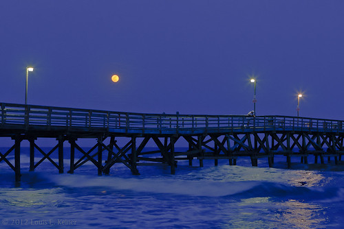
"Super" moon on May 5, 2012
Camera Roll-10637
watiesisland horrycountysc
LK_20120520_0142-Edit-sm