Elevation of N Fork Rd, Grand Forks, BC V0H 1H1, Canada
Location: Canada > British Columbia > Kootenay Boundary > Grand Forks >
Longitude: -118.42335
Latitude: 49.2172409
Elevation: 569m / 1867feet
Barometric Pressure: 95KPa
Elevation Map:
Satellite Map:
Related Photos:

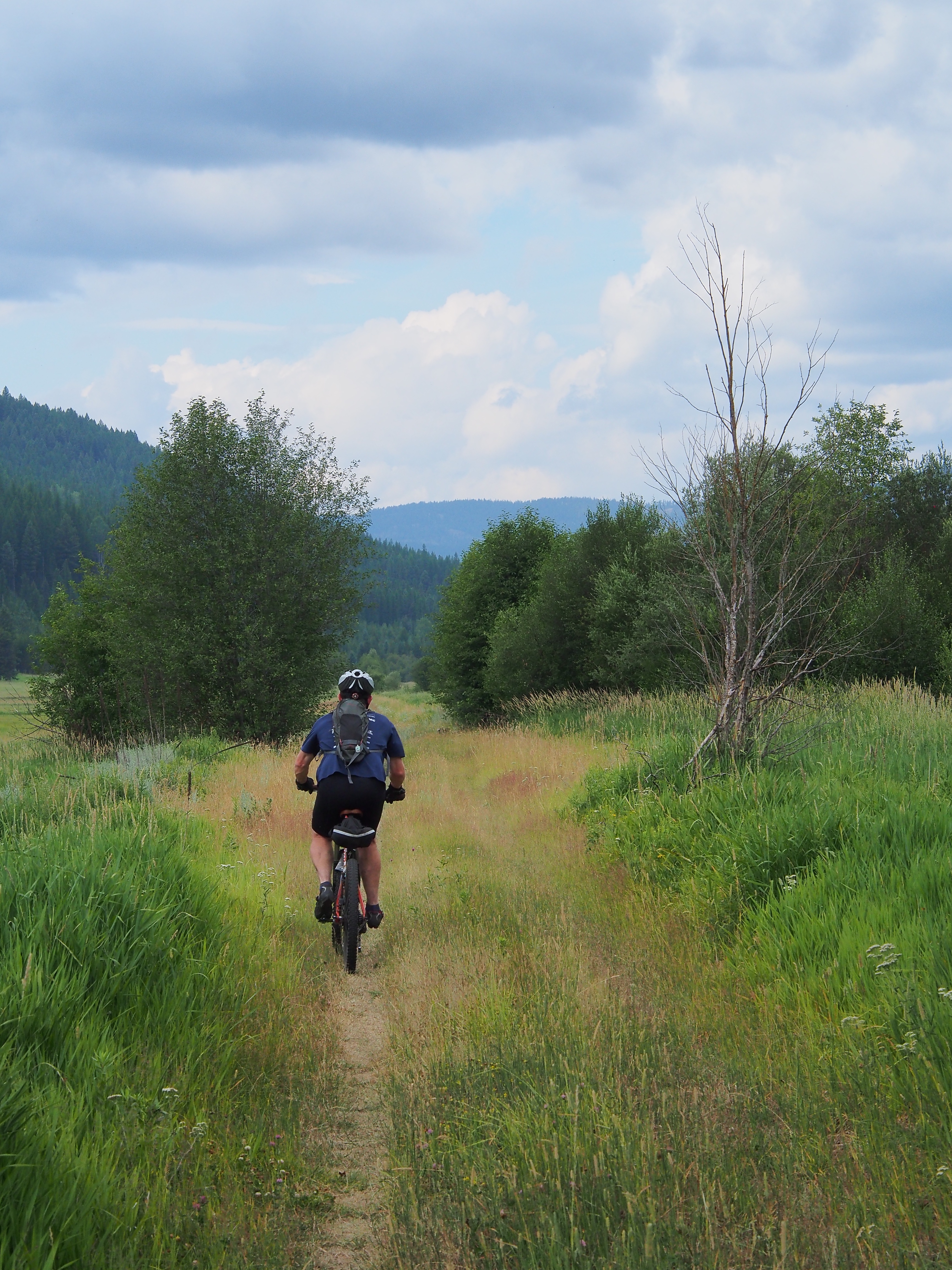
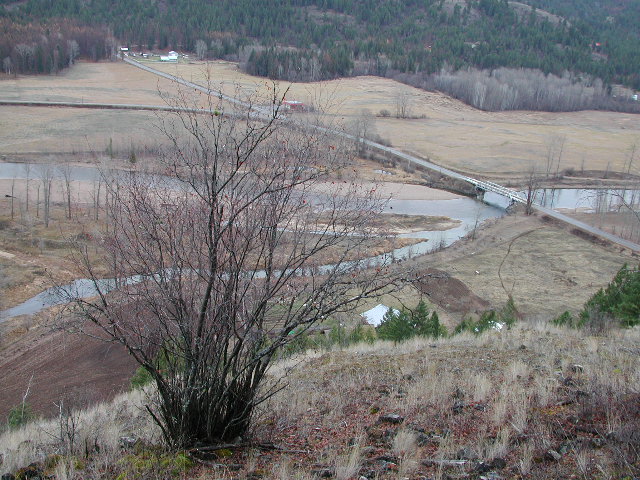
Down the Granby valley

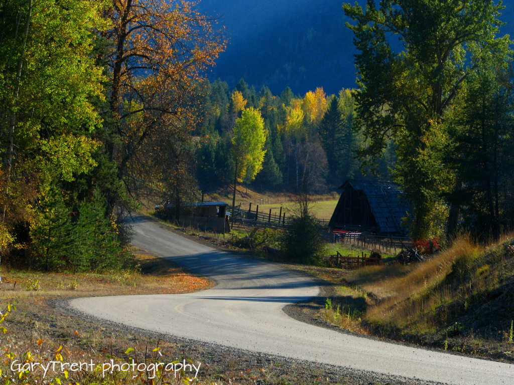
Fisherman section man's shed

Eholt summit
Leaving Eholt
"Country Roads" Granby Wilderness north of Grand Forks B.C

Climbing toward the Eholt Summit

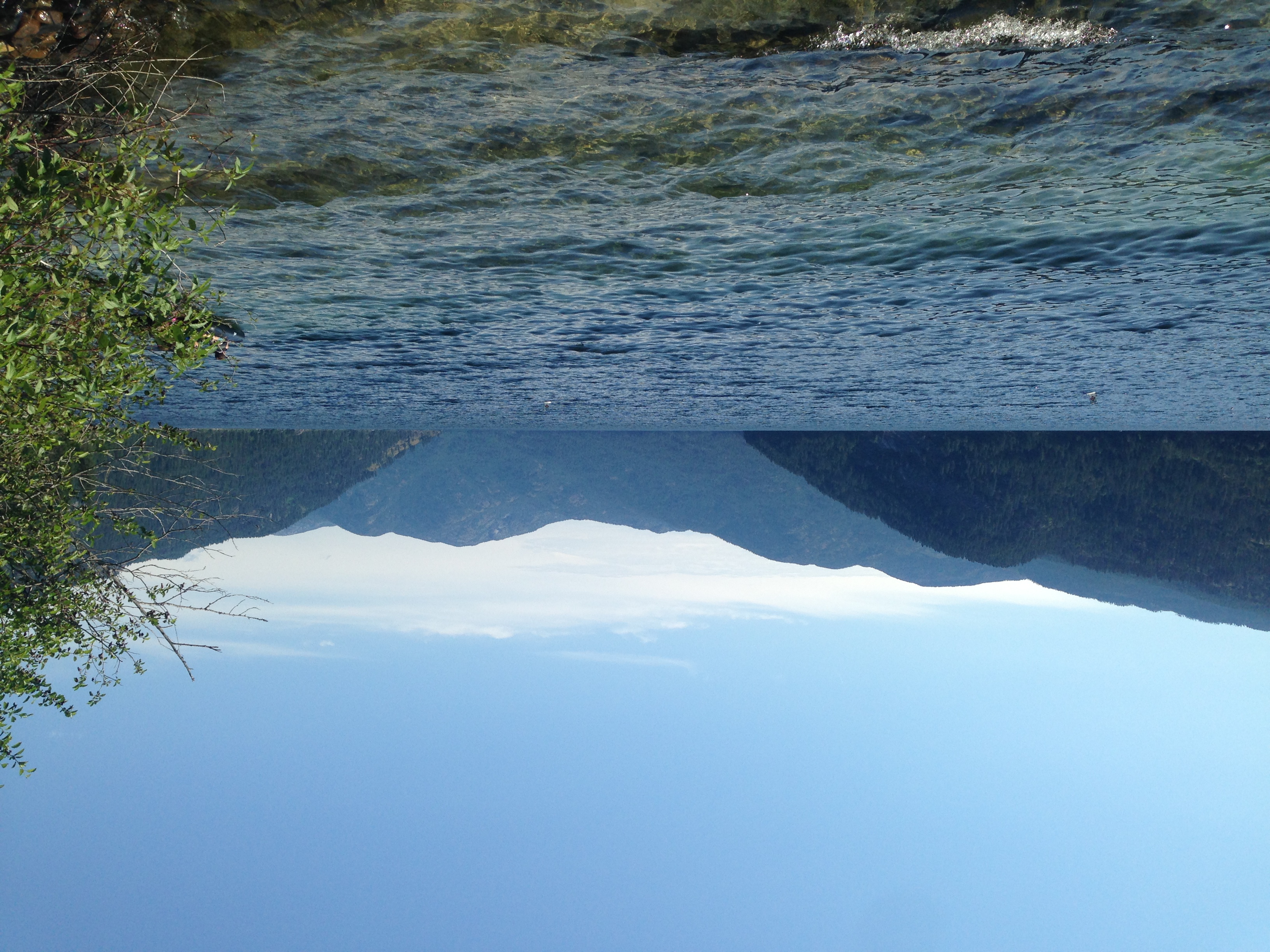
Wilgress Lake morning
Camping trip 2014 Calgary, Kootenay National Park, Gladstone Provincial Park

Camping trip 2014 Calgary, Kootenay National Park, Gladstone Provincial Park

coach house bathroom

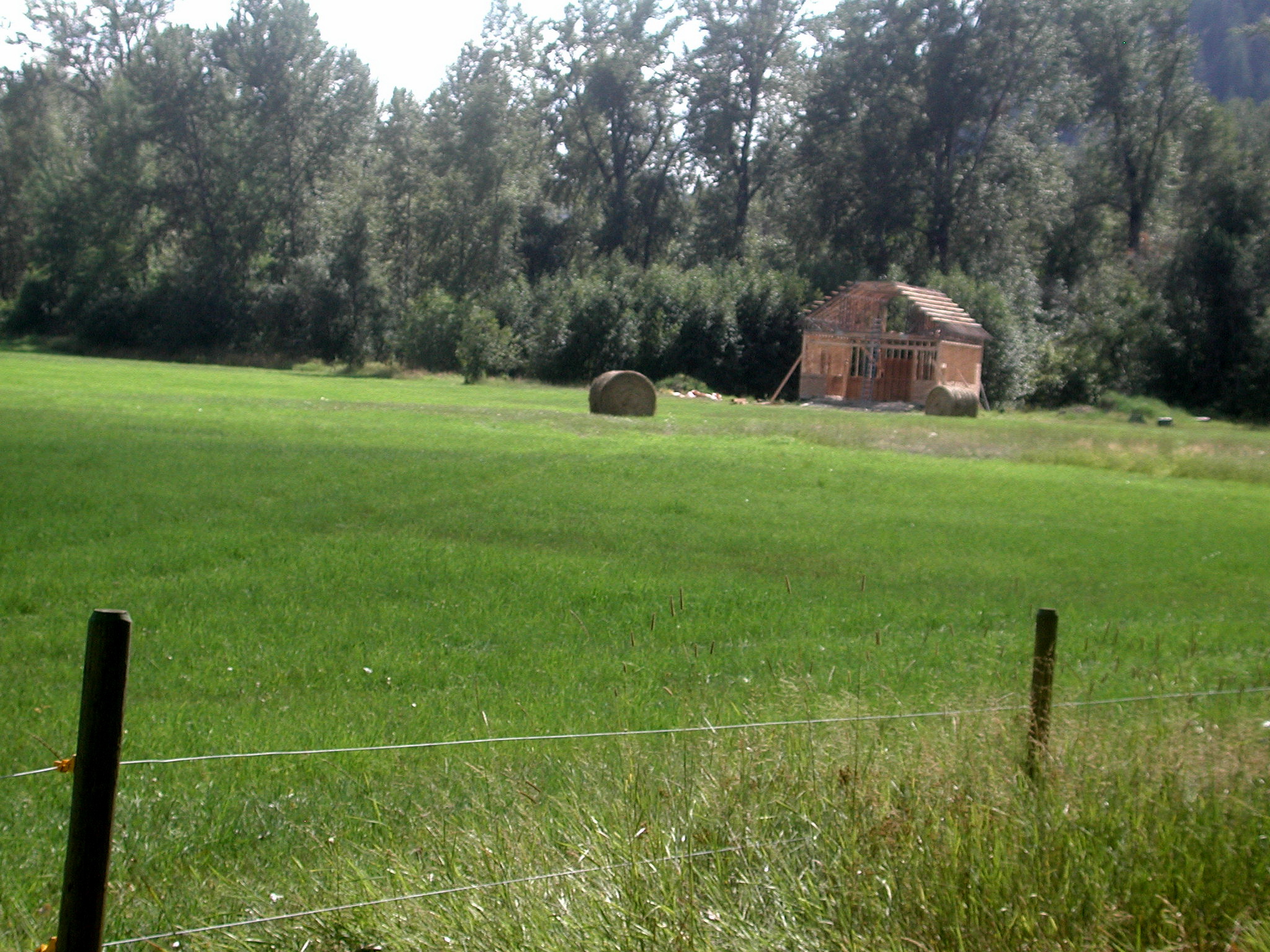
hay barn 1

se field
coachhouse se field

new house main flr

volcanic creek new house yard
Nikki gate

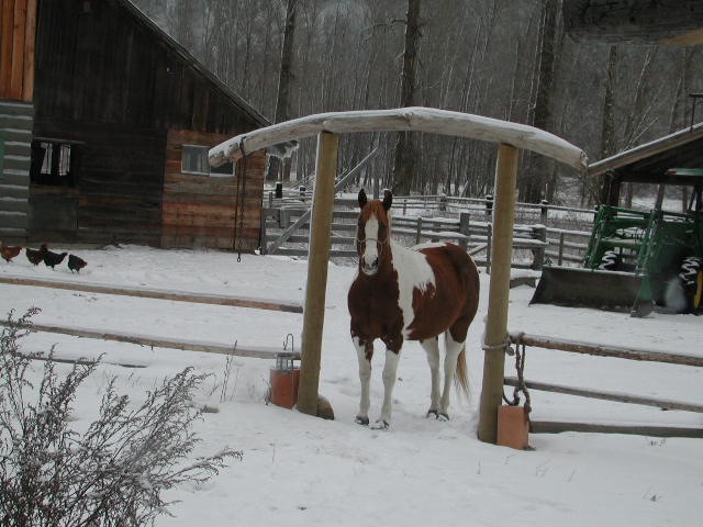
Redhawk shine

40 ac.

40 acre garage

firehal field looking n

firehall fiels north

40 acre pumphouse

north from coach-house apartment

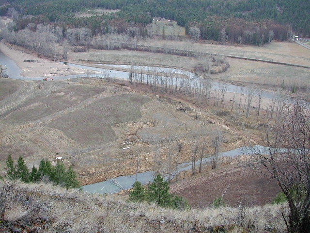
arial shoy se ranch
40 acre hummingbird bridge
40 ac

40 acre plantings
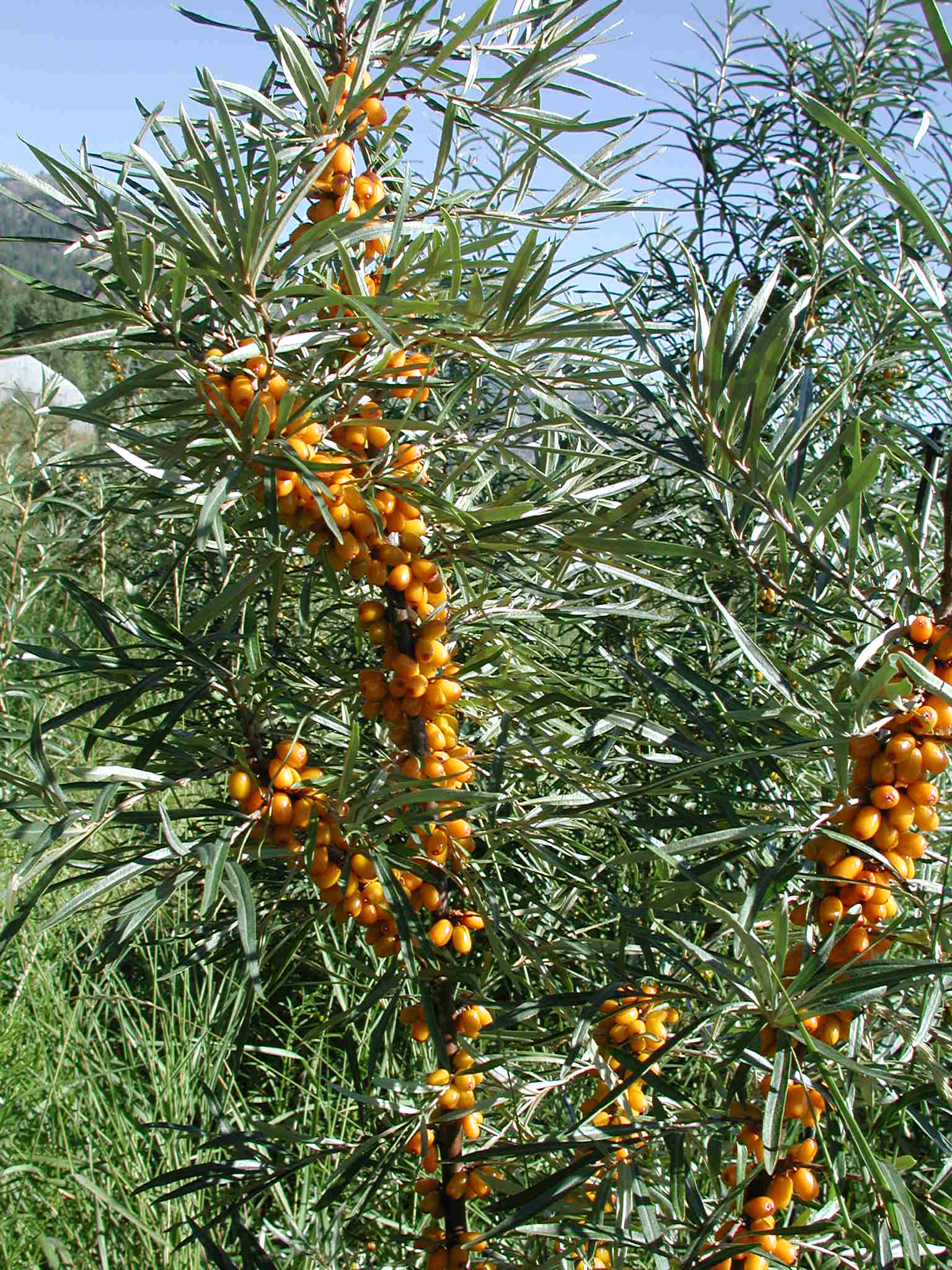
seabuckthorn berries

IMG_20150928_103237 (2)
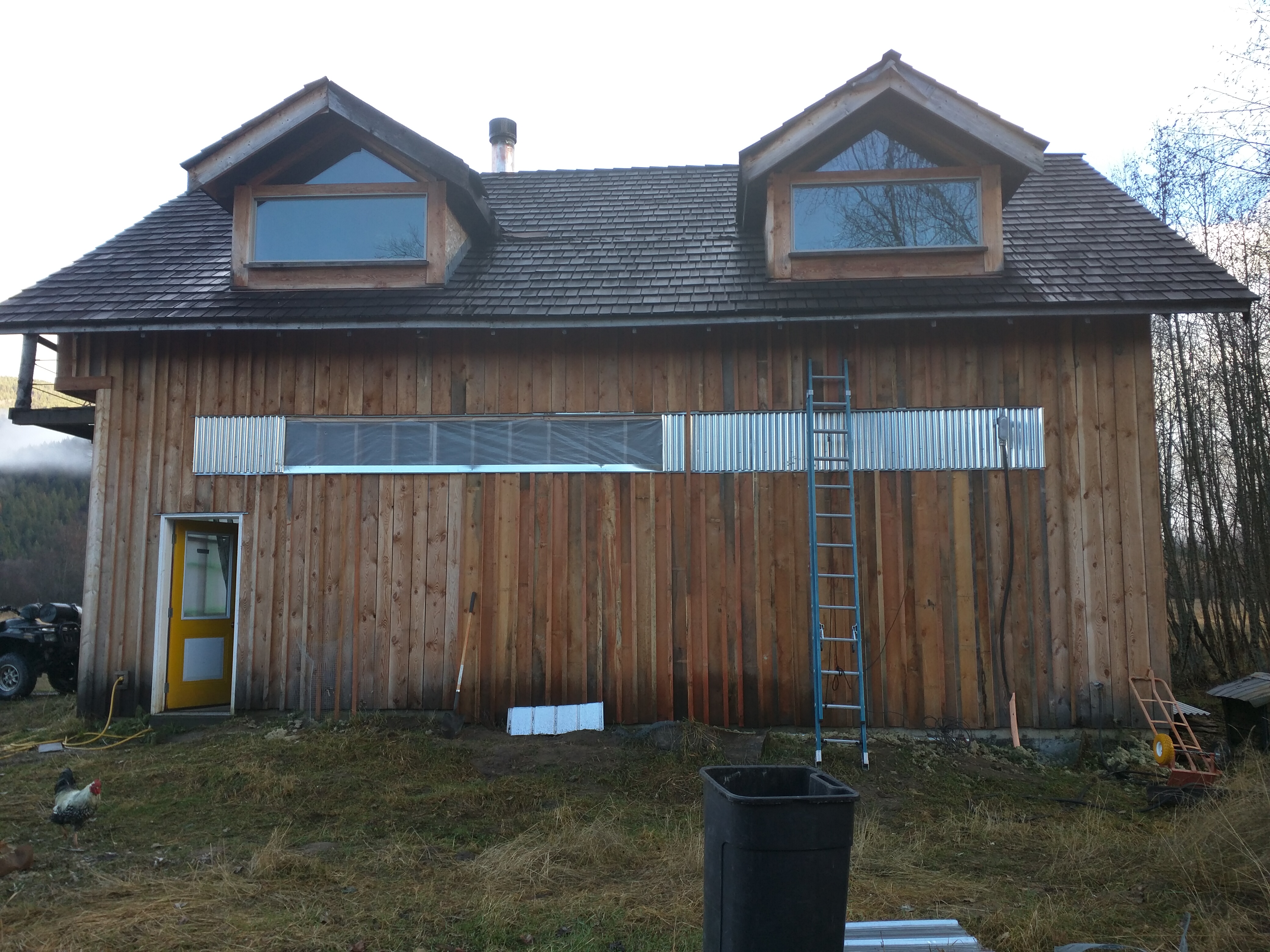
coach house / 20x40 garage
Topographic Map of N Fork Rd, Grand Forks, BC V0H 1H1, Canada
Find elevation by address:

Places near N Fork Rd, Grand Forks, BC V0H 1H1, Canada:
11800 Brown Creek Rd
11800 Brown Creek Rd
9670 Granby Rd
9240 Granby Rd
9240 Granby Rd
390 Prospect Dr
390 Prospect Dr
Christina Lake Marina
Christina Lake Marina
Kootenay Boundary C
132 Larson Rd
3082 E Lake Dr
7767 Mcrae Rd
7815 Mcrae Rd
7767 Mcrae Rd
153 Brown Rd
153 Brown Rd
Crowsnest Hwy, Christina Lake, BC V0H 1E3, Canada
2062 Massie Rd
61 Johnson Rd
Recent Searches:
- Elevation of Corso Fratelli Cairoli, 35, Macerata MC, Italy
- Elevation of Tallevast Rd, Sarasota, FL, USA
- Elevation of 4th St E, Sonoma, CA, USA
- Elevation of Black Hollow Rd, Pennsdale, PA, USA
- Elevation of Oakland Ave, Williamsport, PA, USA
- Elevation of Pedrógão Grande, Portugal
- Elevation of Klee Dr, Martinsburg, WV, USA
- Elevation of Via Roma, Pieranica CR, Italy
- Elevation of Tavkvetili Mountain, Georgia
- Elevation of Hartfords Bluff Cir, Mt Pleasant, SC, USA