Elevation of N County Rd W, Malone, WI, USA
Location: United States > Wisconsin > Fond Du Lac County >
Longitude: -88.281261
Latitude: 43.86051
Elevation: 295m / 968feet
Barometric Pressure: 98KPa
Elevation Map:
Satellite Map:
Related Photos:

Long Way Down
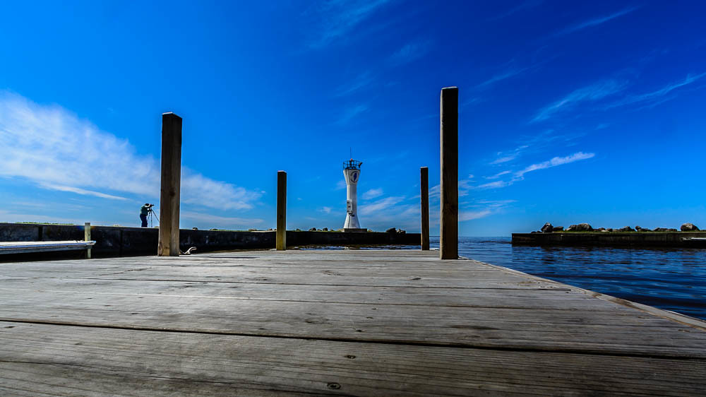
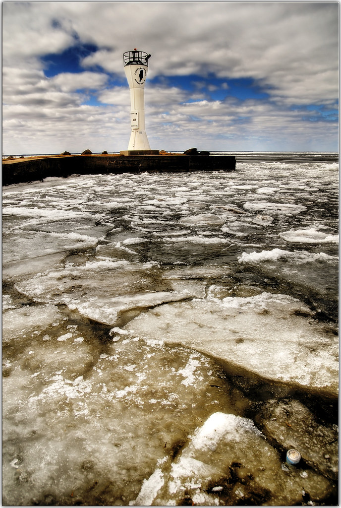
Fisherman's Road Lighthouse 2
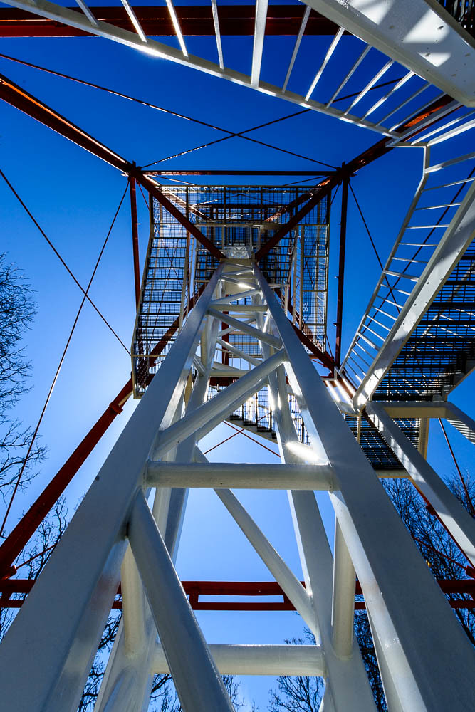
Long Way Up

Paul's boat, breaking through the wallpaper
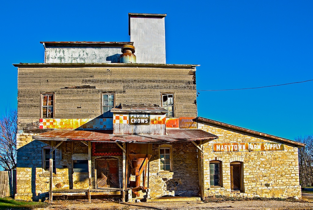
Marytown Feedmill
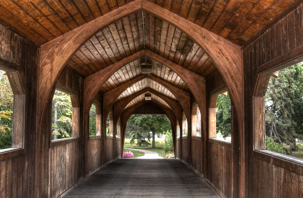
wood bridge_1899pmx_tonemapped

#window #view #biat #lake #blinds #lynnfriedman
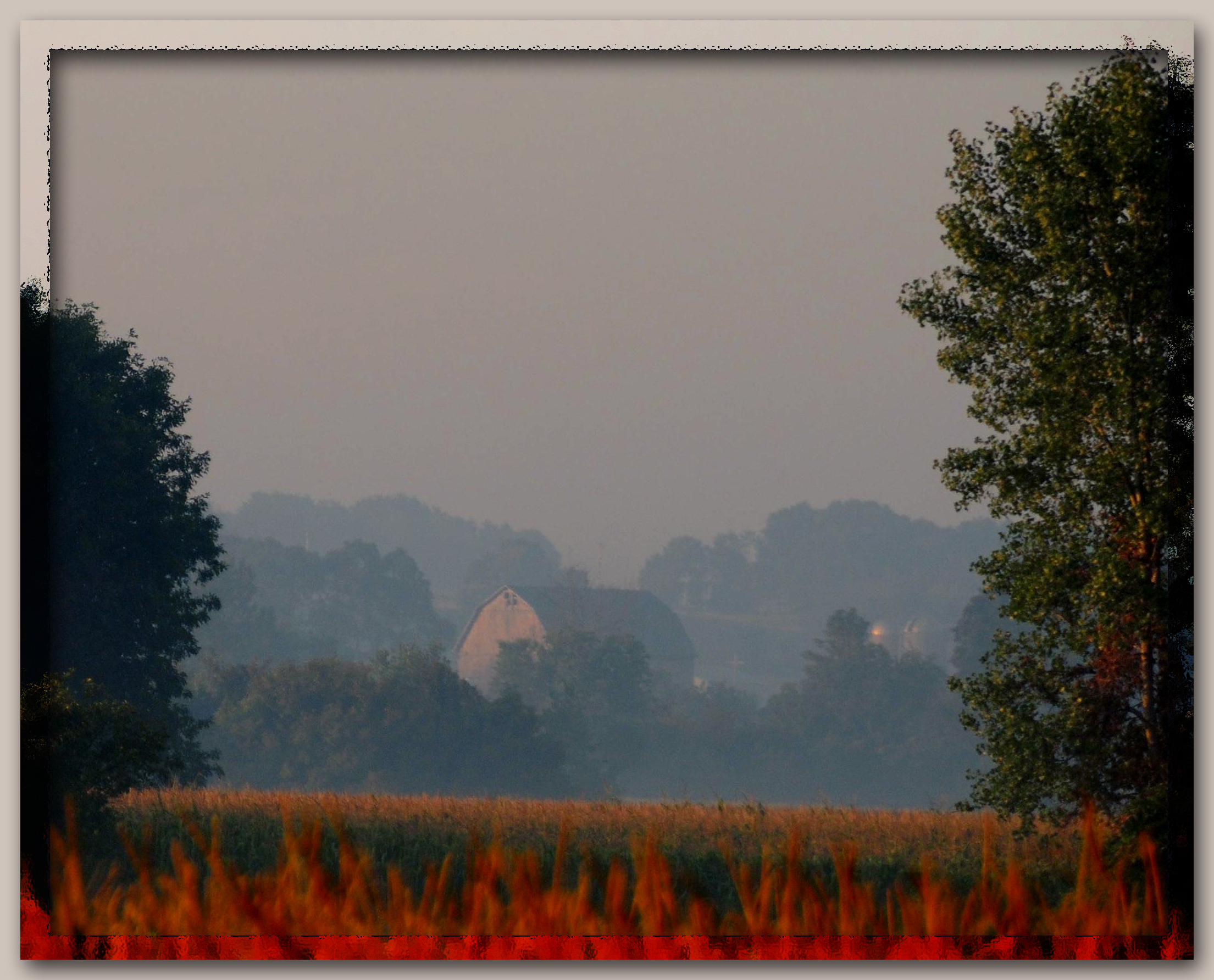
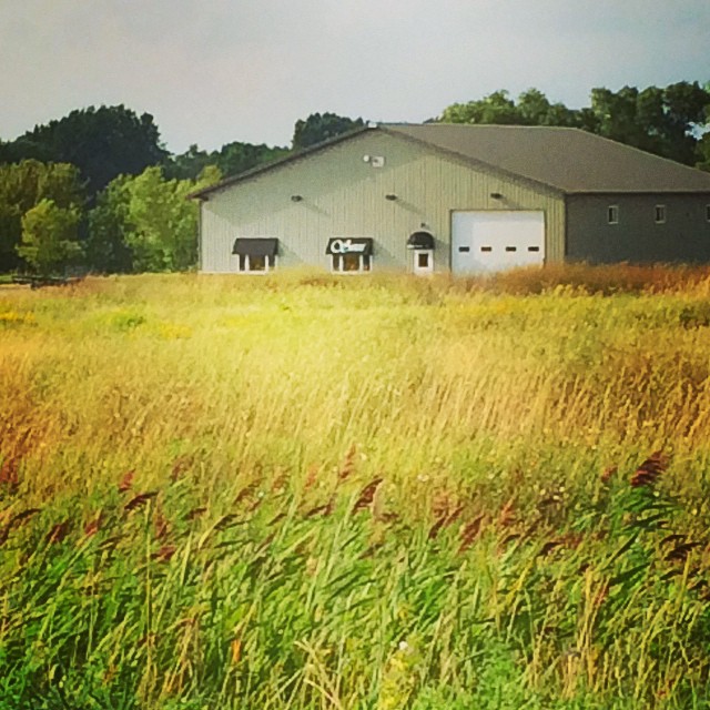
Neighbor's farm
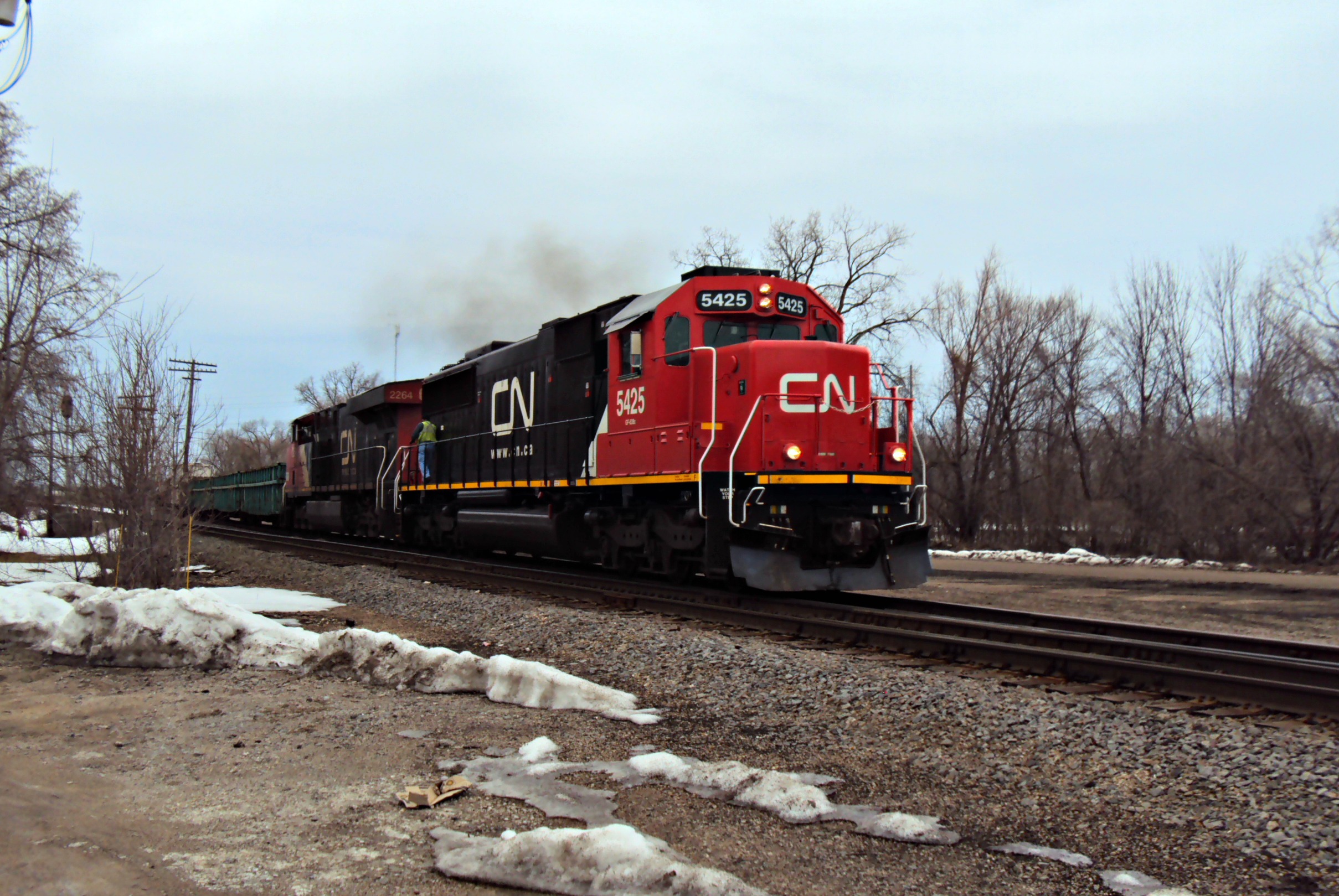
CN 5425--A446

Free FB Cover Photo!
lighthouse_1869pmx flag half-mast
View from my yard
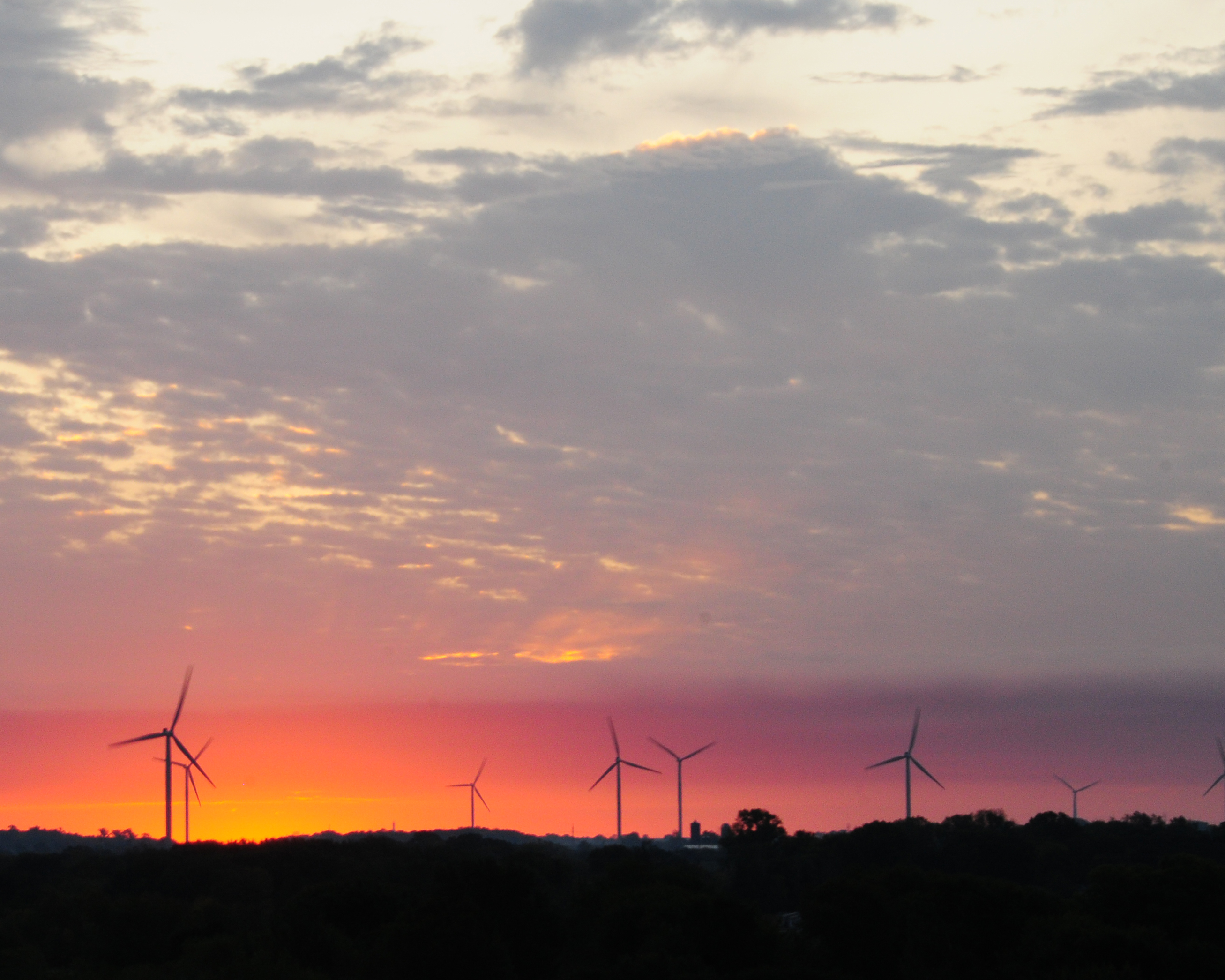
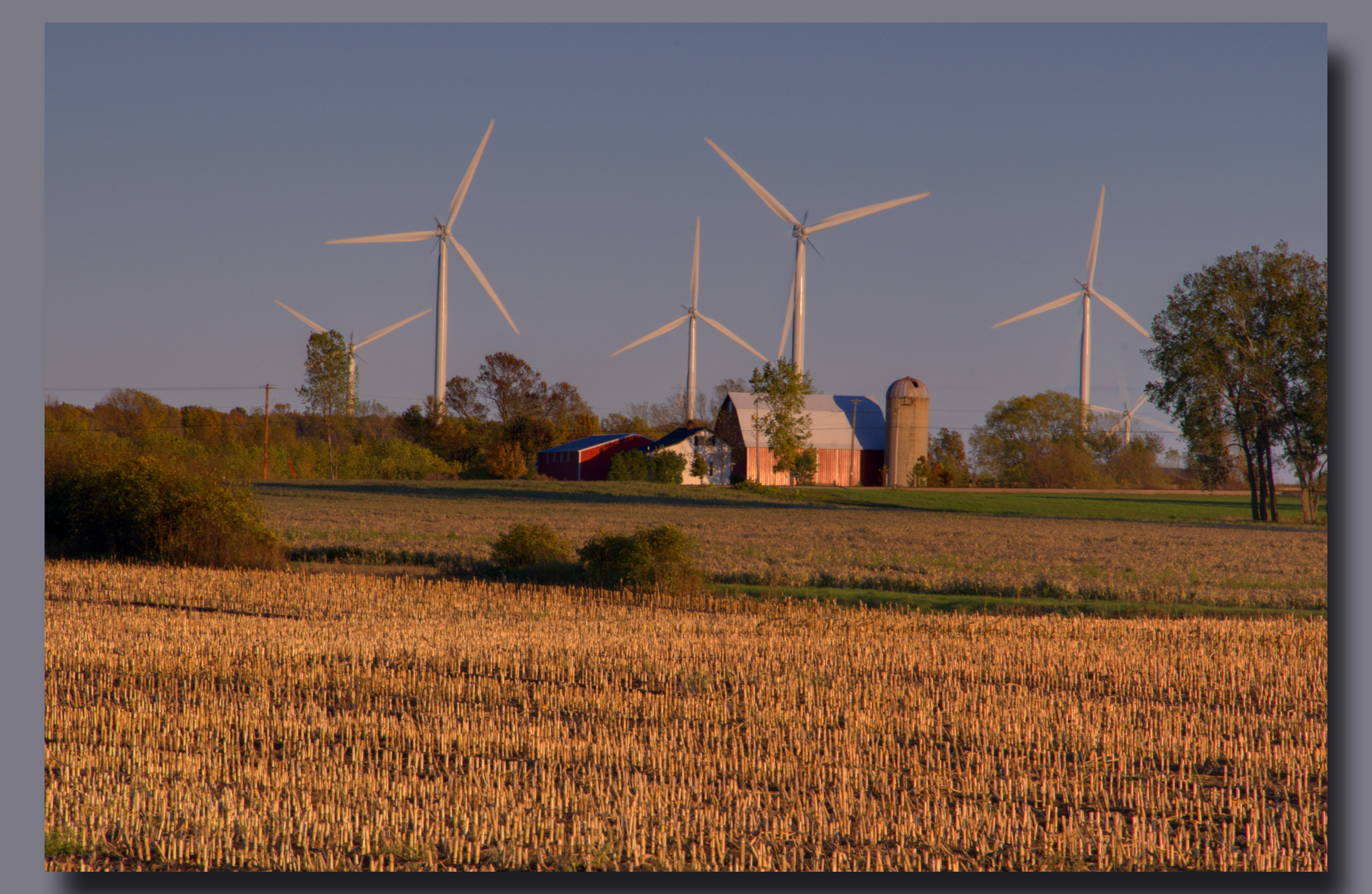
Sunrise with wind turbine 002
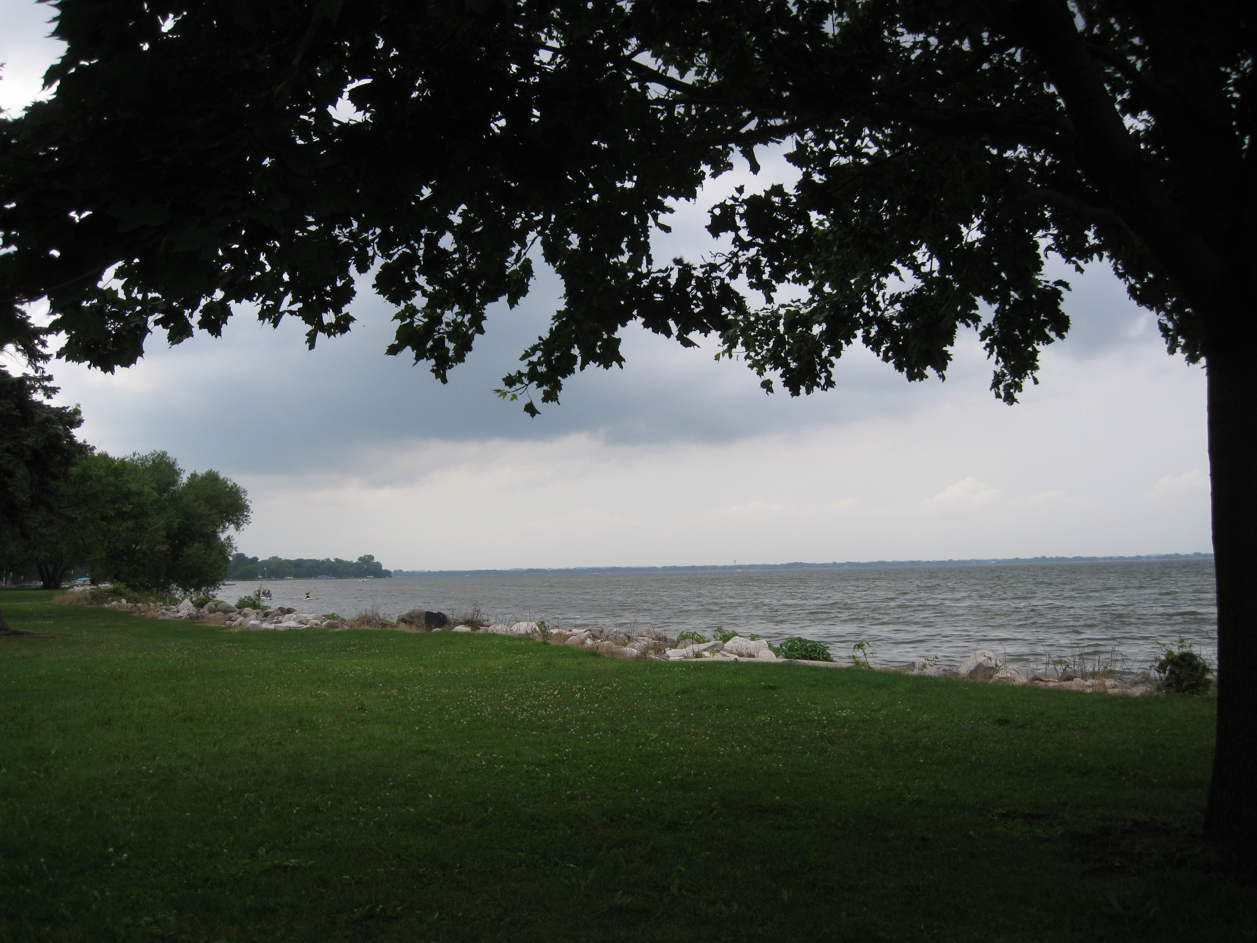
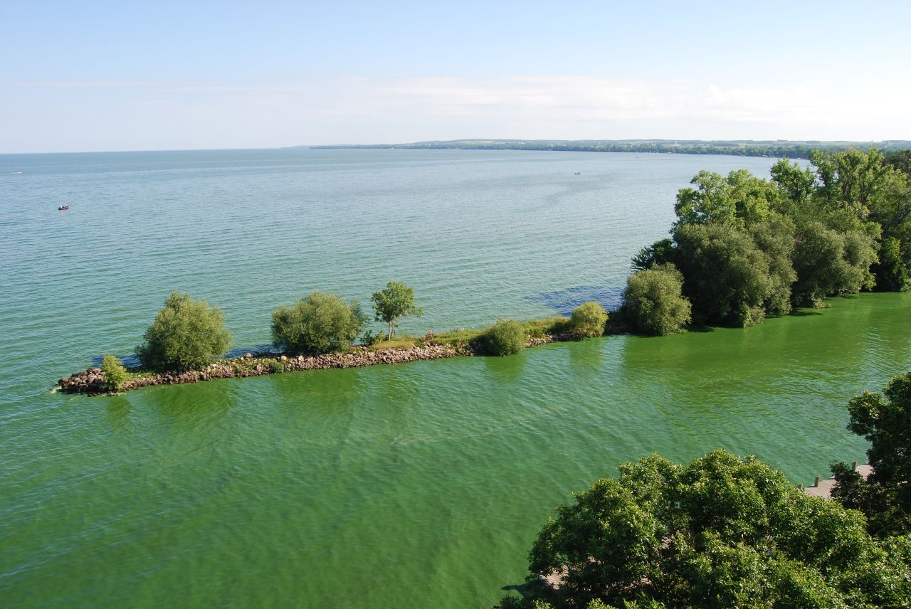
Lake Winnebago
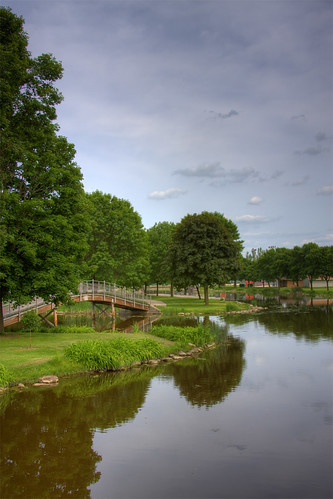
Bridge over the Lake HDR Tone Mapped
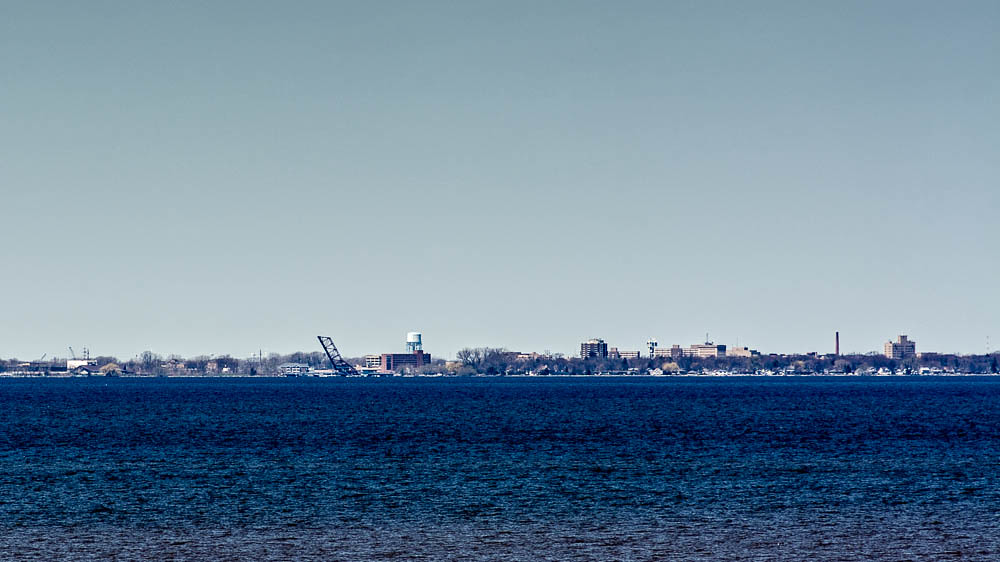
Oshkosh Skyline

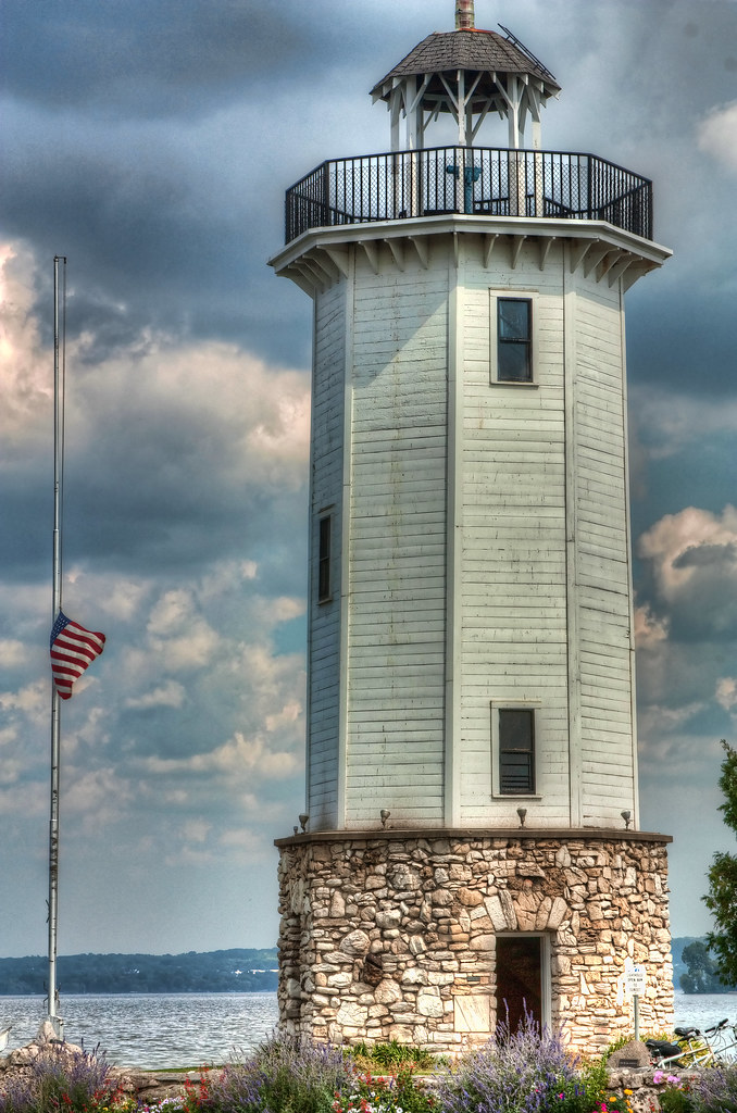
Lighthouse in Fall

Ledgeview Springs
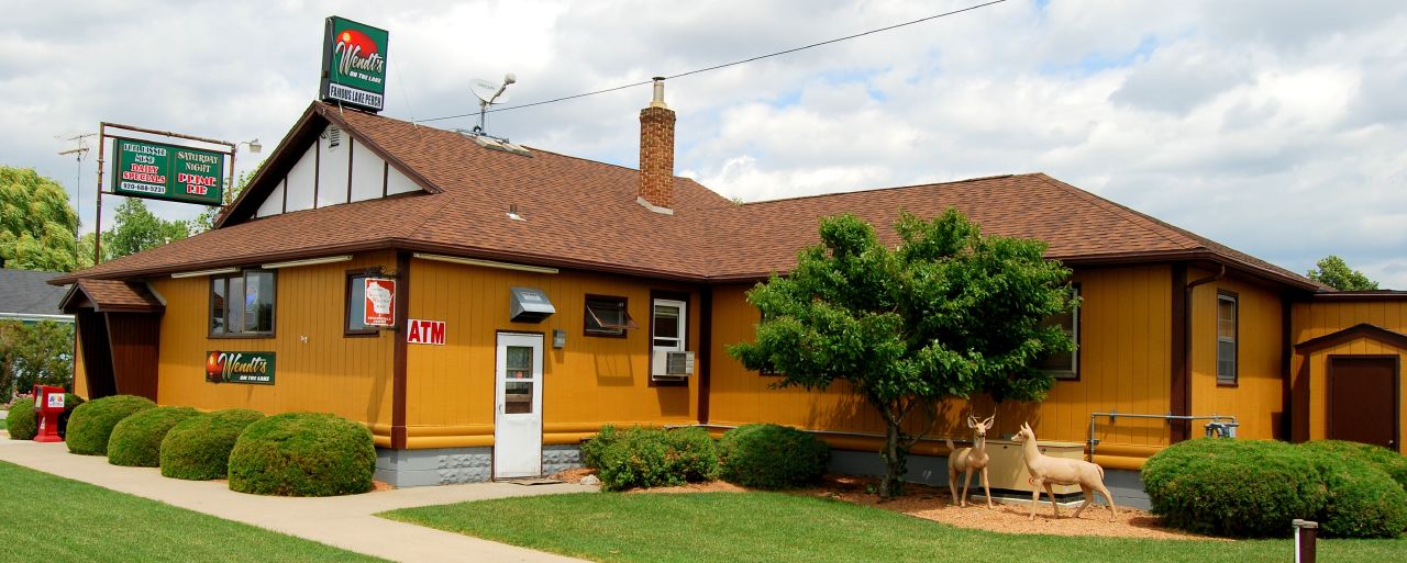
N- WENDT'S ON THE LAKE

Niagara Escarpment

N- WENDT'S ON THE LAKE
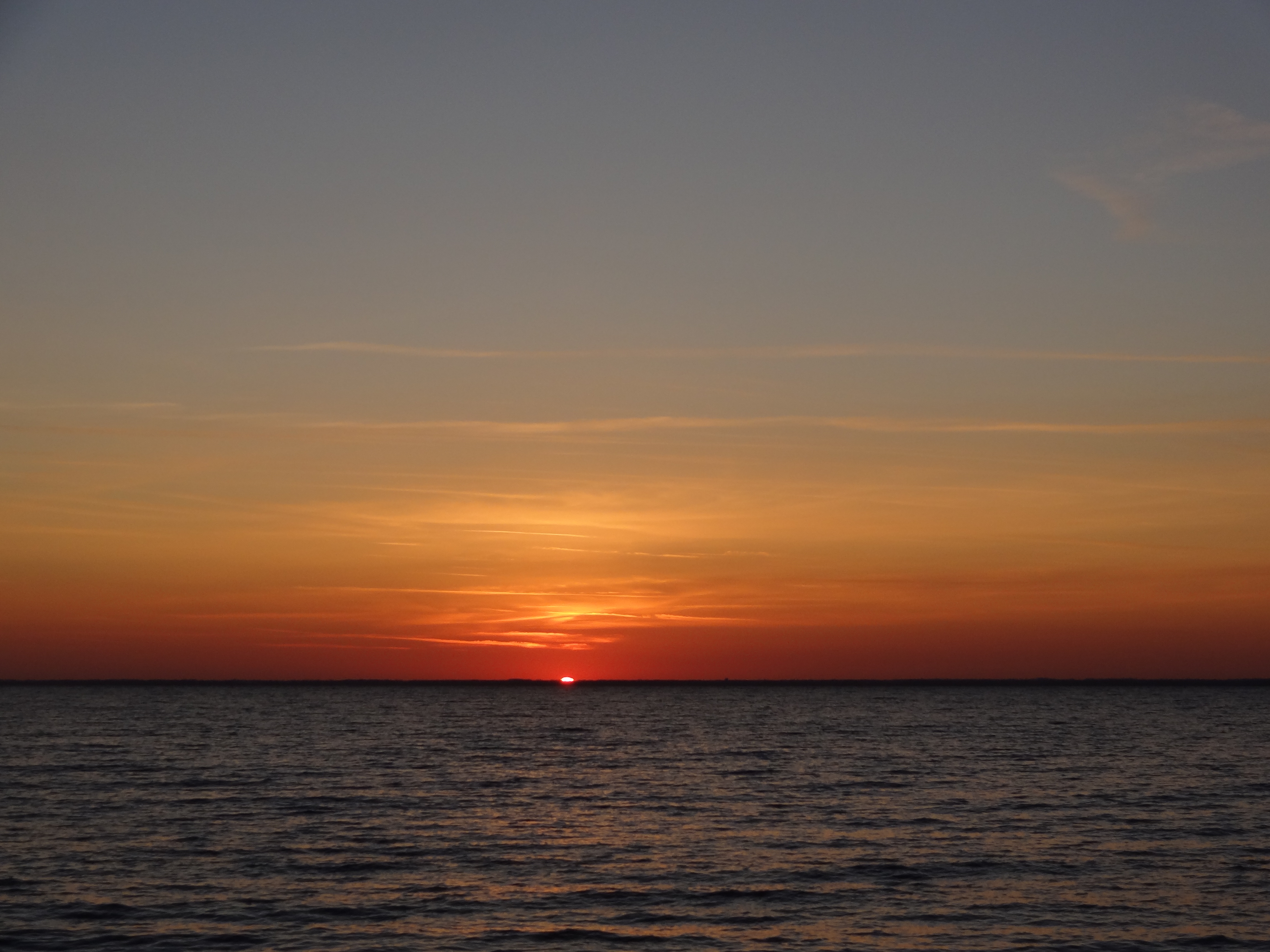
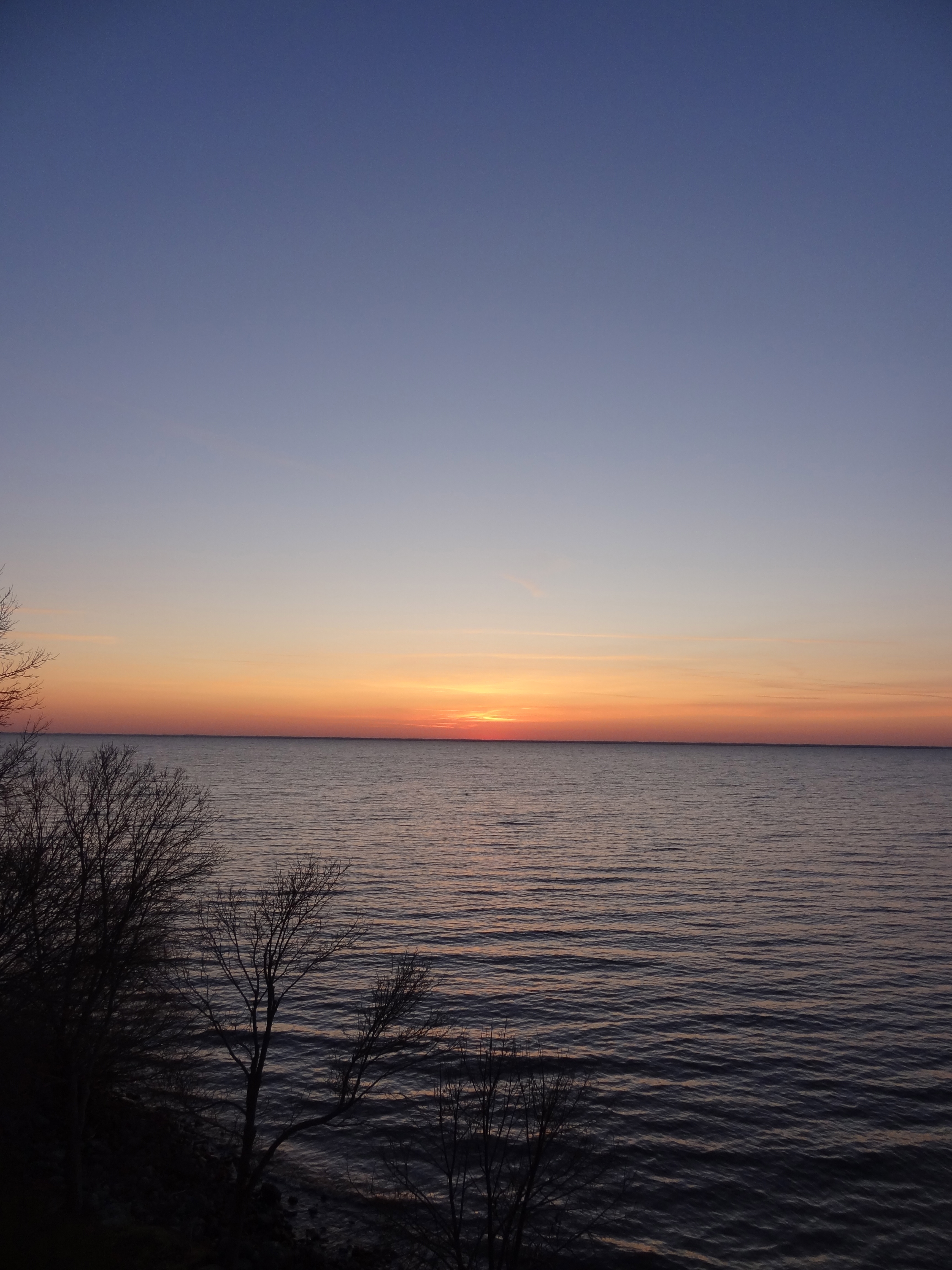
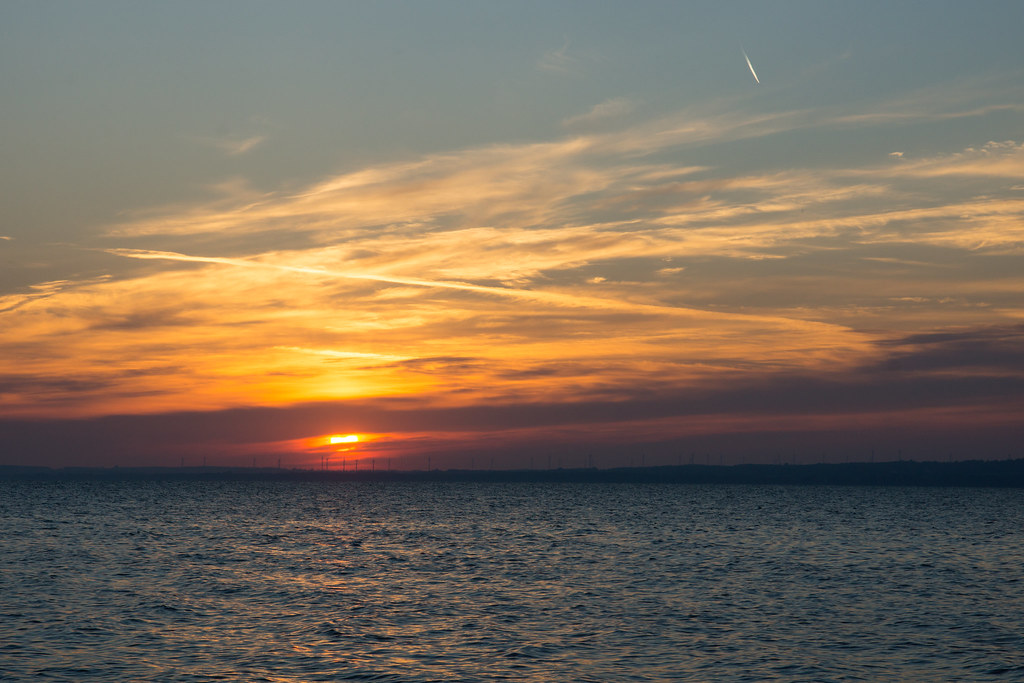
Sunset on Lake Winnebago

What Became Of Us
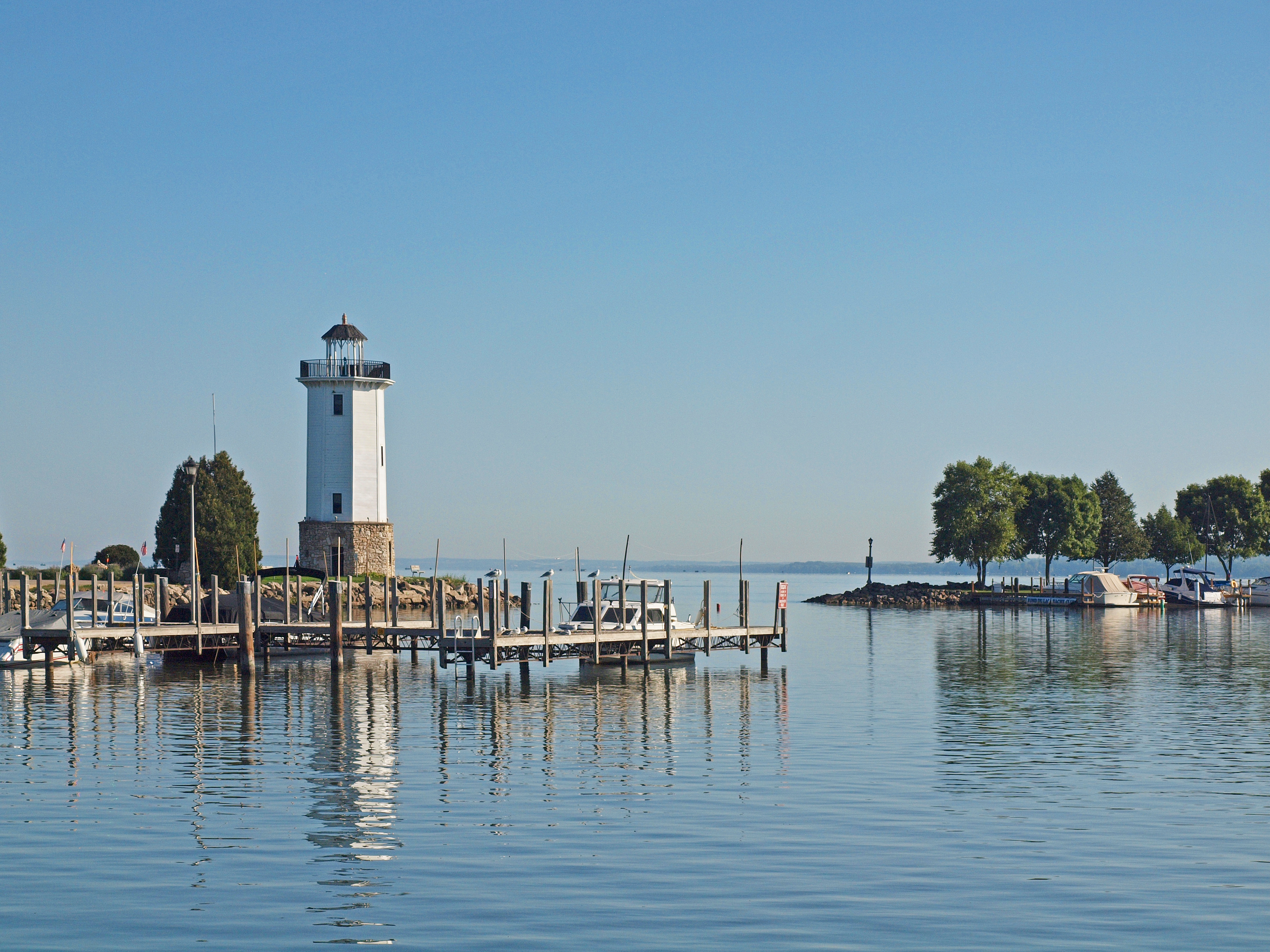
Fond du Lac lighthouse

Winter Wind
summertime...

Tree and Sky
I lost my can of Coke
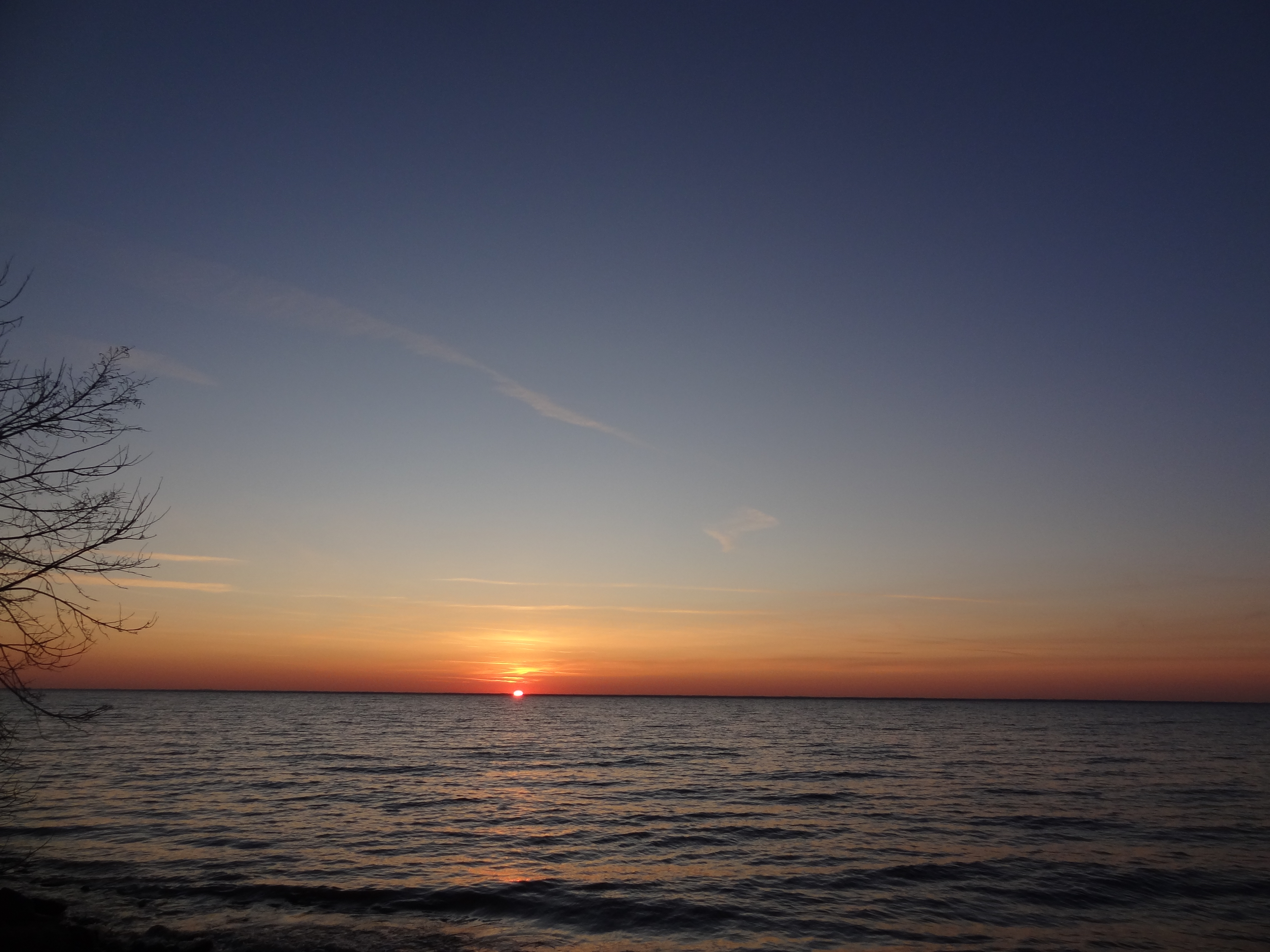
Sunset on Lake Winnebago
Sunset over Lake Winnebago
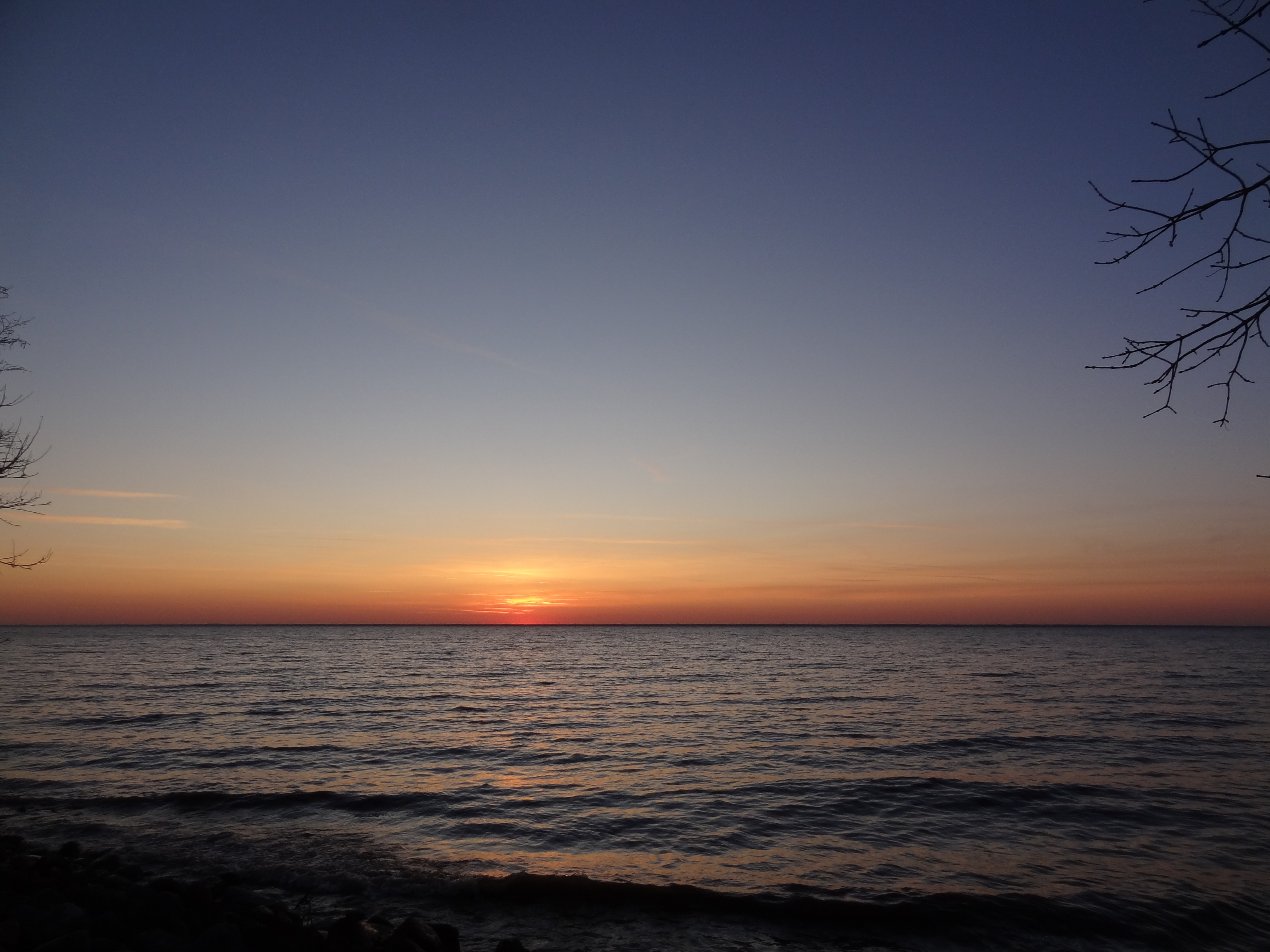
Sunset on Lake Winnebago

20130628-IMG_0177.jpg
#farm #field #country #usa #lynnfriedman
Lake Winnebago Sunrise

Sunset on Lake Winnebago
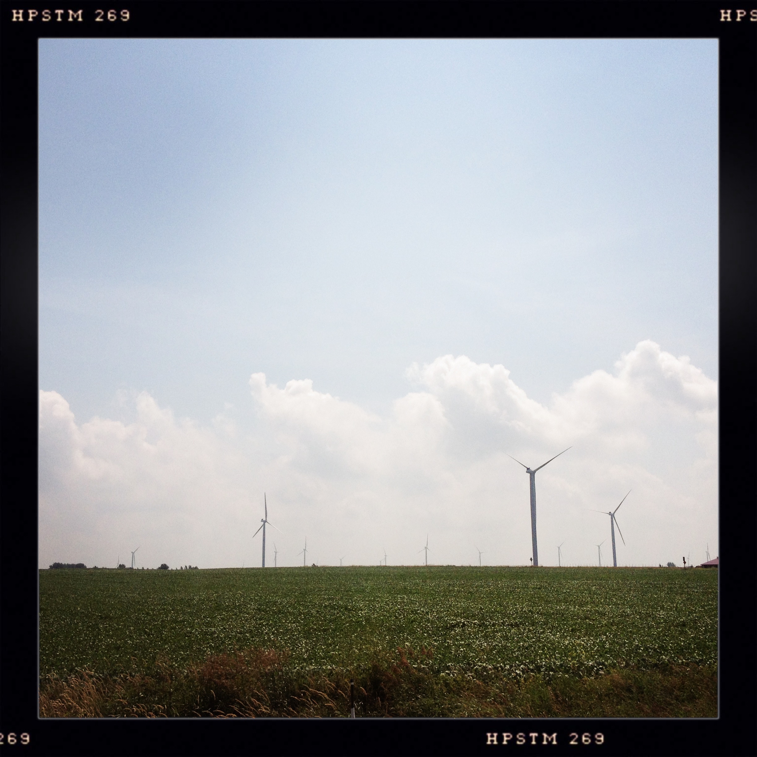
Windmills.
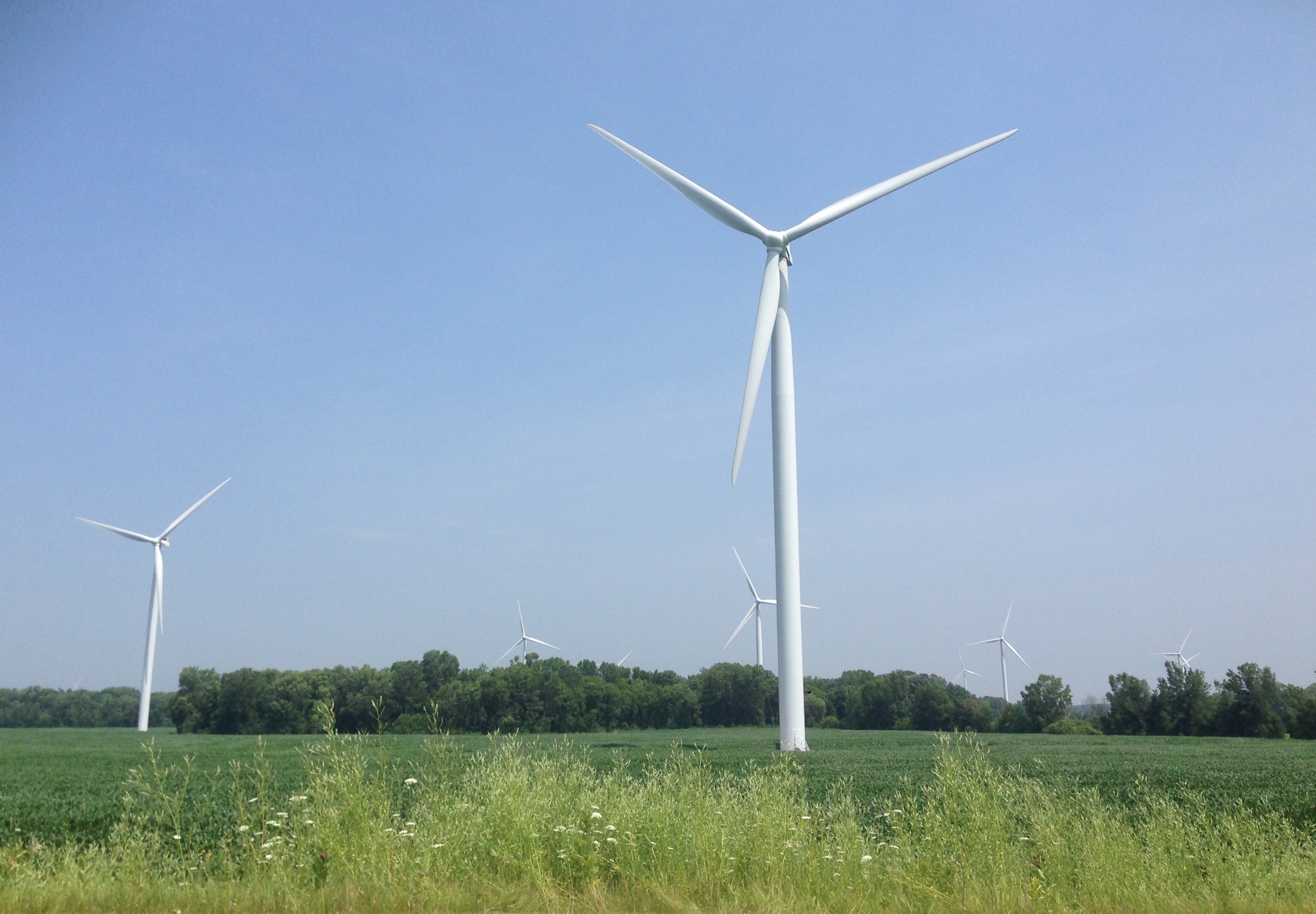
20140722 Windmills; Malone, WIsconsin (Fond du Lac County) - 1
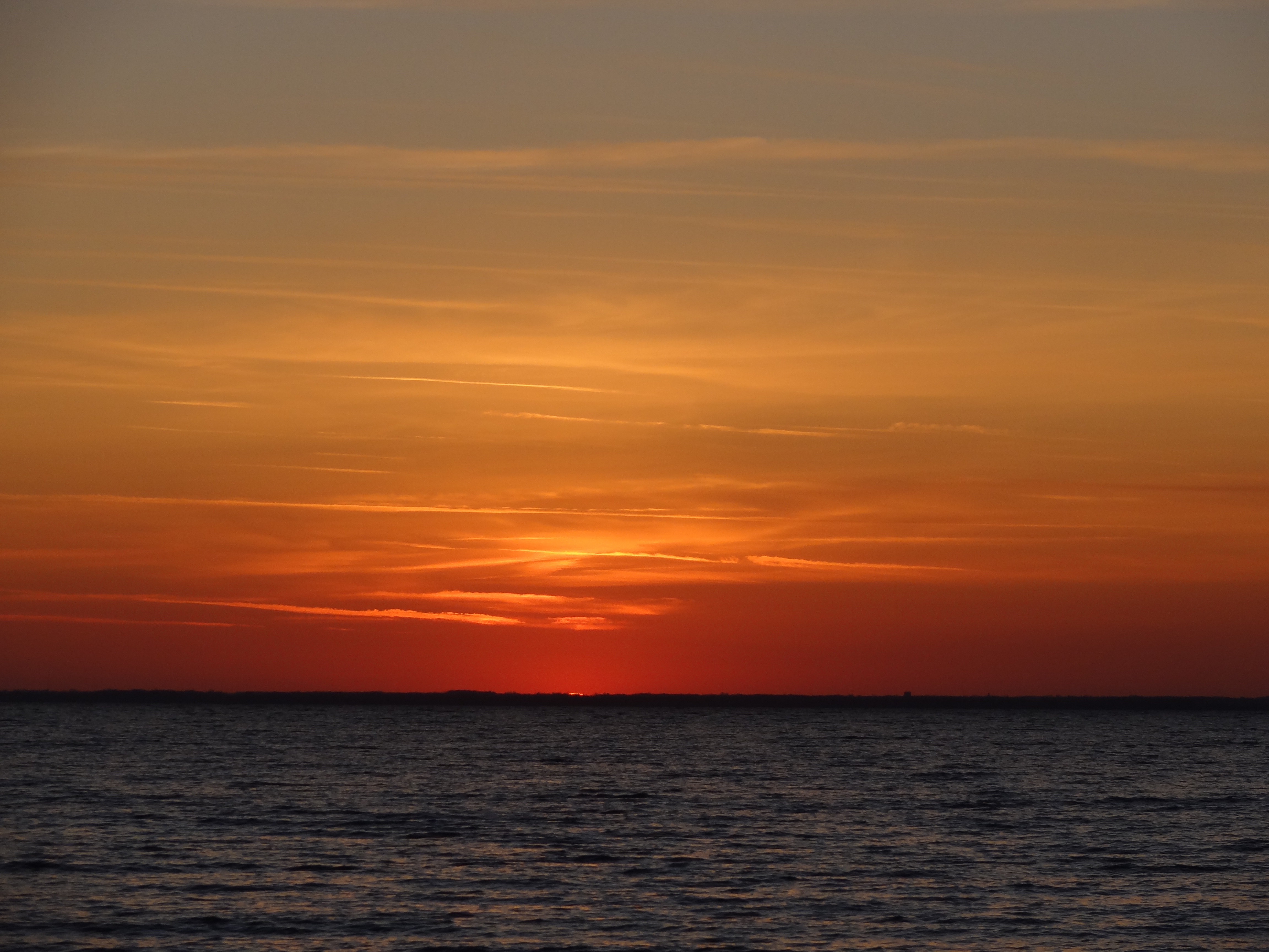
Sunset on Lake Winnebago

Sunset over Lake Winnebago-002
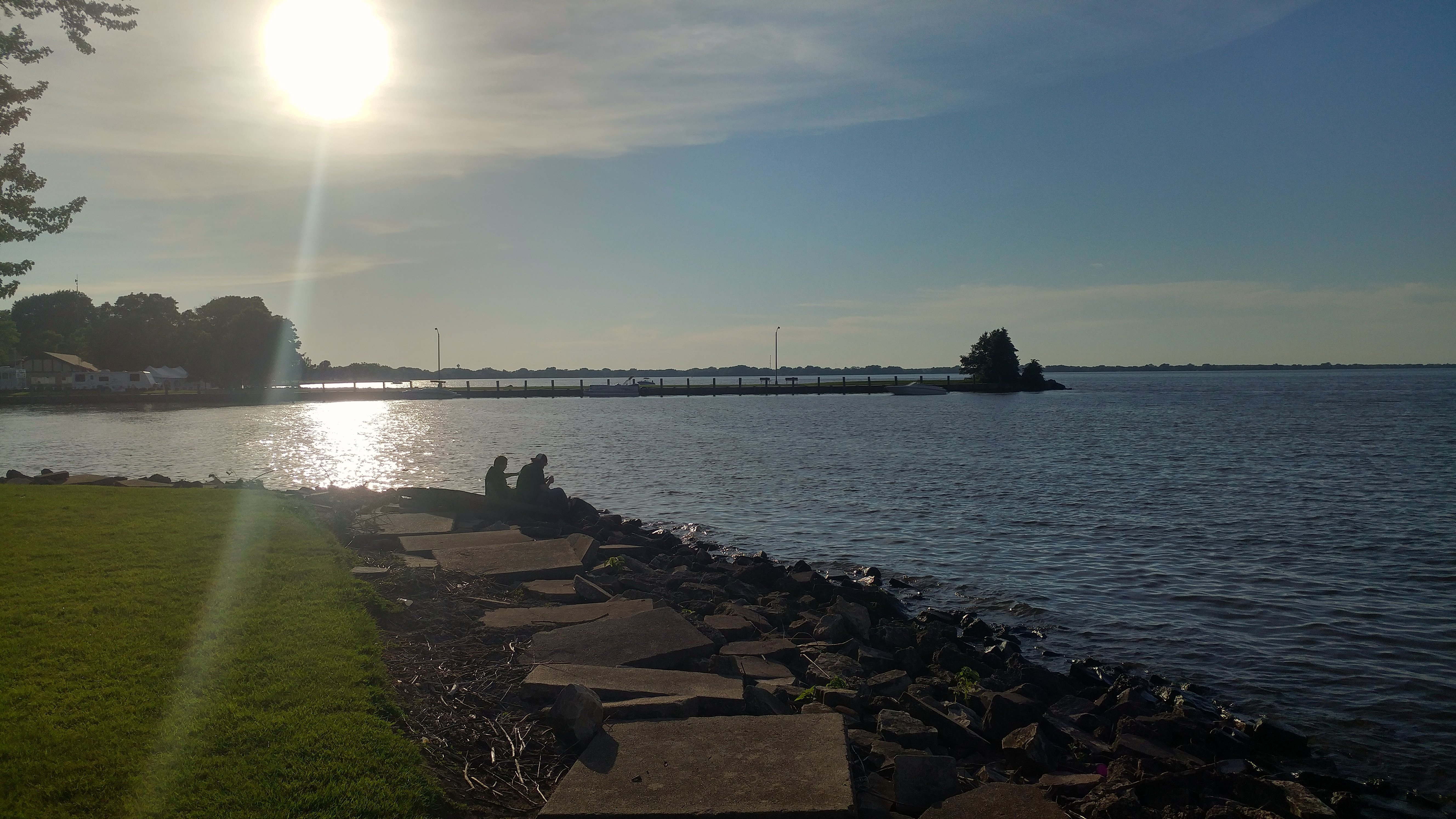
At Columbia Park,cnty W
Topographic Map of N County Rd W, Malone, WI, USA
Find elevation by address:

Places near N County Rd W, Malone, WI, USA:
Calumet
N8545
N10303
Pipe
N8109
Taycheedah
N9937
Kiekhaefer Parkway
N8324 Park Ridge Dr
N8660
N7609
Peebles
Niagara Lane
N7438 Niagara Ln
N7788
492 Whispering Springs Dr
Taycheedah
435 Country Ln
Fond du Lac, WI, USA
499 Taft St
Recent Searches:
- Elevation of Corso Fratelli Cairoli, 35, Macerata MC, Italy
- Elevation of Tallevast Rd, Sarasota, FL, USA
- Elevation of 4th St E, Sonoma, CA, USA
- Elevation of Black Hollow Rd, Pennsdale, PA, USA
- Elevation of Oakland Ave, Williamsport, PA, USA
- Elevation of Pedrógão Grande, Portugal
- Elevation of Klee Dr, Martinsburg, WV, USA
- Elevation of Via Roma, Pieranica CR, Italy
- Elevation of Tavkvetili Mountain, Georgia
- Elevation of Hartfords Bluff Cir, Mt Pleasant, SC, USA