Elevation of N Benedict St, Chillicothe, IL, USA
Location: United States > Illinois > Peoria County > Chillicothe Township > Chillicothe >
Longitude: -89.50085
Latitude: 40.930274
Elevation: 159m / 522feet
Barometric Pressure: 99KPa
Elevation Map:
Satellite Map:
Related Photos:

Lake of the Woods

Southwest Airlines departure view

C&NW on the Santa Fe

The Creeping Oliver
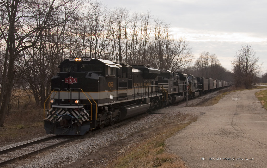
NS 1065 Marshall
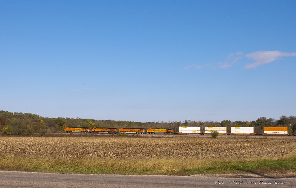
BNSF 7612 Chilli

Fading Light

Q SBDCHI7 22L

Matching Quadruplets

Peoria area 110

P1020740-r

Illinois River (HDR)

Illinois River (HDR)

#farm

DSC_1763©

#sunrise on the #farm

Red barn in farm

Beautiful day on Chillicothe IL

Beautiful day on Chillicothe IL

P1020735-r

4-15 Random Roadtrip
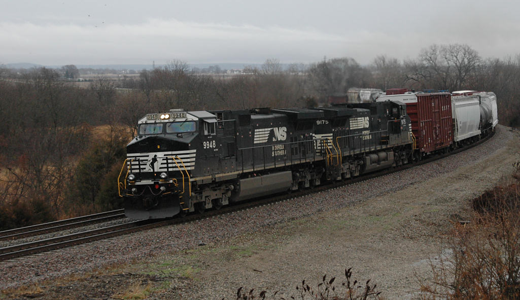
Norfolk Southern 9948 and 9175 Grinding Up Edelstein Hill at Houlihan's Curve

Mushroom cloud over Central Illinois

Mossville Barn
The Path Taken

Centerville Road Barn
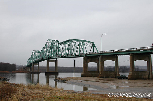
Lacon Bridge

New Landscape Lights
Topographic Map of N Benedict St, Chillicothe, IL, USA
Find elevation by address:

Places near N Benedict St, Chillicothe, IL, USA:
Chillicothe Township
1121 N Benedict St
702 N Stanley Dr
514 Taylor Dr
Chillicothe
810 N 4th St
1405 W Cloverdale Rd
Three Sisters Park
N Blue Ridge Rd, Chillicothe, IL, USA
14618 N Lakeview St
Rome
15616 N River Beach Dr
15420 N River Beach Dr
Hallock Township
Pinewood Estates
14001 N River Beach Dr
13919 N River Beach Dr
1672 Kathleen Pl
E Cedar Hills Dr, Chillicothe, IL, USA
Medina Township
Recent Searches:
- Elevation of Corso Fratelli Cairoli, 35, Macerata MC, Italy
- Elevation of Tallevast Rd, Sarasota, FL, USA
- Elevation of 4th St E, Sonoma, CA, USA
- Elevation of Black Hollow Rd, Pennsdale, PA, USA
- Elevation of Oakland Ave, Williamsport, PA, USA
- Elevation of Pedrógão Grande, Portugal
- Elevation of Klee Dr, Martinsburg, WV, USA
- Elevation of Via Roma, Pieranica CR, Italy
- Elevation of Tavkvetili Mountain, Georgia
- Elevation of Hartfords Bluff Cir, Mt Pleasant, SC, USA