Elevation of N Bayou Rd, Fremont, WI, USA

Location: United States > Wisconsin > Waupaca County > Caledonia > Fremont >

Longitude: -88.850940

Latitude: 44.2911665

Elevation: -10000m / -32808feet

Barometric Pressure: 295KPa

Elevation Map:

elevation map of N Bayou Rd, Fremont, WI, USA

Satellite Map:

Satellite map of N Bayou Rd, Fremont, WI, USA

Related Photos:

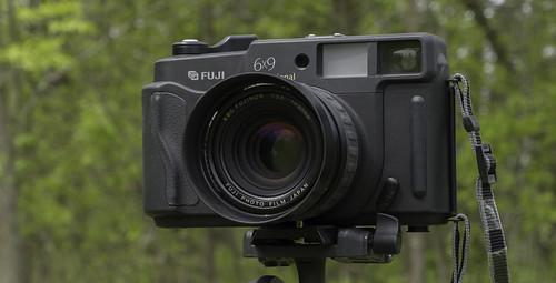
camera wisconsin mediumformat lens unitedstates 6x9 fujinon larsen fujigw690iii fuji690iii texsasleica
Front view of the Fuji GW690iii
winnebagocounty deltoxmarsh
Deltox Marsh
carnival horses horse bike bicycle wisconsin fence fun parkinglot jenny carousel entertainment ap rides tiltawhirl garbagecan trashcan newlondon midway merrygoround tilt wi amusements bulldozer mgr thrillride carnivalrides carnivalgame amusementrides springcarnival berrygoround carnivalgames familyride dozers thrillrides fairrides gametrailer gametrailers sellner amusementdevice mechanicalrides apshows apenterpriseshows apcarnival ridefence sellnerspinride quartersplash stilldate
View From The Ferris Wheel.
Peek a boo
carnival sky wisconsin bench fun parkinglot streetlight cloudy overcast semi entertainment lamppost rig ap rides newlondon midway benches wi glasshouse lightpole amusements tractortrailer carnivalrides carnivalgame amusementrides springcarnival freightliner semitractor thrillrides fairrides showme crystalcaverns gametrailer amusementdevice mechanicalrides apshows apenterpriseshows showmefab apcarnival showmefabrication generatortrailer stilldate
Aerial View Of The Midway.
carnival wisconsin fun parkinglot aerialview entertainment ap rides tiltawhirl newlondon midway tilt wi amusements thrillride carnivalrides amusementrides springcarnival familyride thrillrides fairrides sellner amusementdevice mechanicalrides apshows apenterpriseshows apcarnival stilldate
Looking Down On A&P Sows Tilt A Whirl.
square squareformat normal iphoneography instagramapp uploaded:by=instagram foursquare:venue=50df2da3e4b0bc86a5238d75
#beach #sun #nature #water #TagsForLikes #TFLers #ocean #lake #instagood #photooftheday #beautiful #sky #clouds #fun #pretty #sand #reflection #amazing #beauty #beautiful #shore #seashore #waves #wave Sky view from the #wolf #river today!
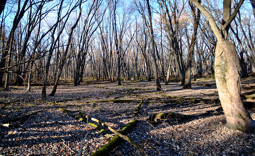
trees woods
shady road x
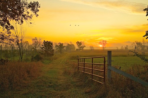
usa sunrise gates swamp marsh sandhillcranes marshmorning johnhenrygremmer wisconsinmorning
"Marsh Morning"
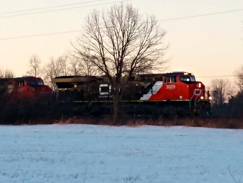
UP 2671 Dale WI 4-26-18
Mosquito Hill
Former Turntable Pit
Good Bye 2017!
wisconsin unitedstates weyauwega
Boring sunset
sky wisconsin clouds rural landscape midwest moody farm country stormy farmland bigsky
September in Wisconsin
usa wisconsin america countryside us sony united country states campagne wi amérique etatsunis wolfriver a55 a55v
The Wolf River, Wisconsin
wisconsinstatenaturalarea
Mukwa Bottomland Forest State Natural Area
wisconsin
DSCN0590.JPG
clash kayle foamfighting belegarth foamfighters rhûn clashatkaylescottage
IMG_2691.JPG
wisconsinstatenaturalarea
Mukwa Bottomland Forest State Natural Area
wisconsinstatenaturalarea
Mukwa Bottomland Forest State Natural Area
noflash wonderlens hipstamatic w40film
Somewhere in Wisconsin
wisconsinstatenaturalarea
Mukwa Bottomland Forest State Natural Area
wisconsinstatenaturalarea
Mukwa Bottomland Forest State Natural Area
wisconsinstatenaturalarea
Mukwa Bottomland Forest State Natural Area
20171023-BearLake-28
wisconsinstatenaturalarea
Mukwa Bottomland Forest State Natural Area
wisconsinstatenaturalarea
Mukwa Bottomland Forest State Natural Area