Elevation of N Arms Pl, St Mary-Of-The-Woods, IN, USA
Location: United States > Indiana > Vigo County > Sugar Creek Township > Saint Mary-of-the-woods >
Longitude: -87.467213
Latitude: 39.5107474
Elevation: 171m / 561feet
Barometric Pressure: 99KPa
Elevation Map:
Satellite Map:
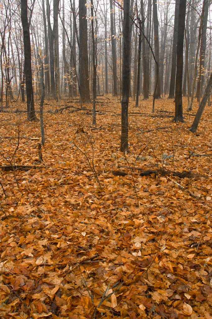
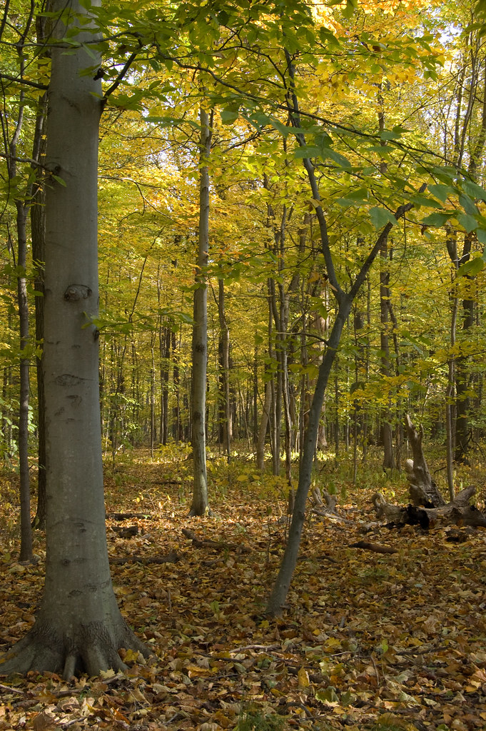
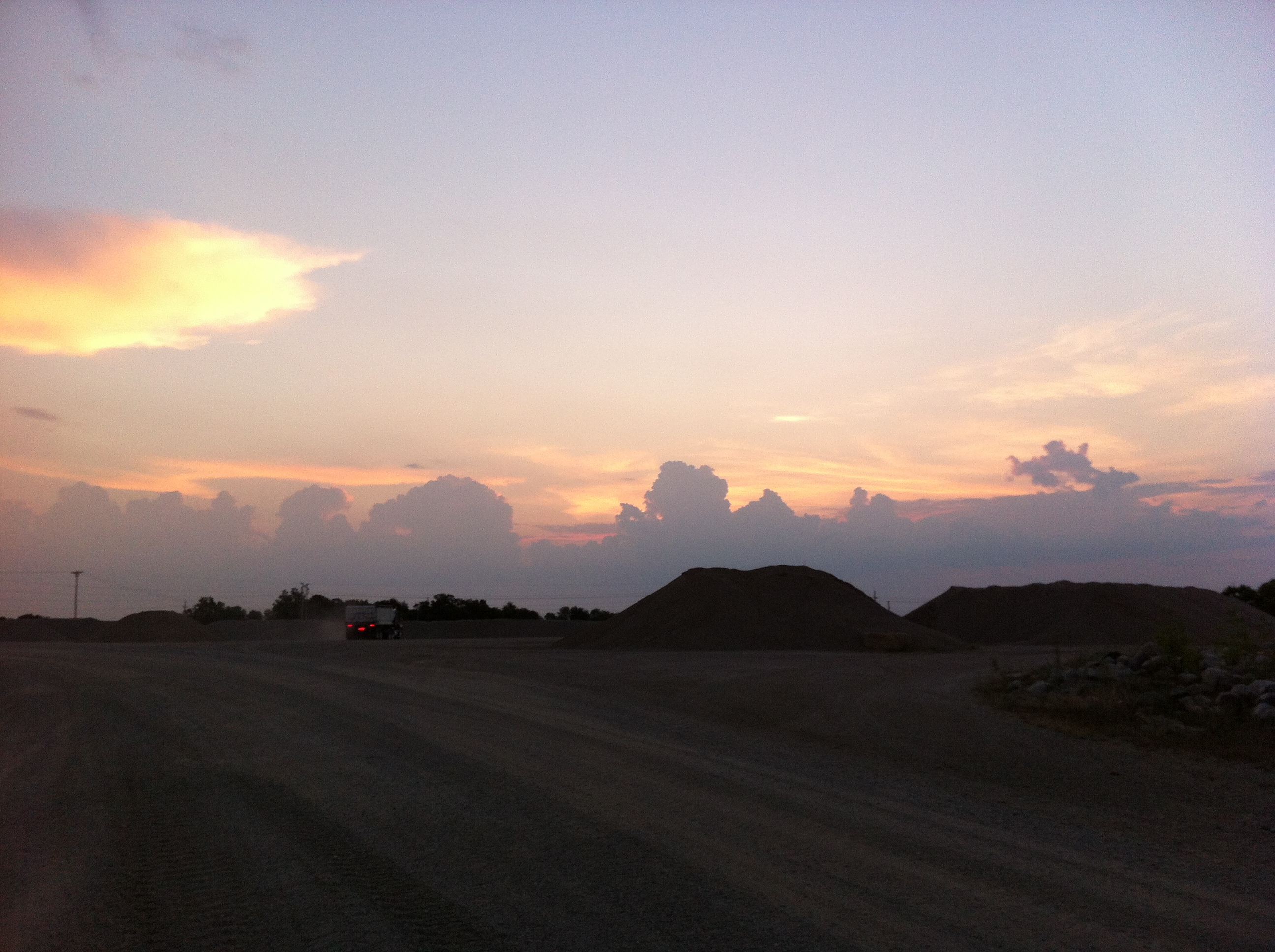
Related Photos:

Rail Car Graffiti

The Aviator

119/365

this way

The view from ... ?

CSX 757 - HDR
TBER 100 at Lost Creek
Stainless Tangle
Avenue and fountain - view from Foley
An XL (lent!) Chase Part 18

Franey General Council, 1948-1953

Haley Tower, Terre Haute - B&W
My view, right now. In bed. :-)

1940 Henney Packard Hearse
RH Spring Morning
Through my window

The Rails' Rails
1940 Henney Packard Hearse

1940 Henney Packard Hearse
Wabash River Big 4 bridge collapse 1900

Snow squall
grasping the waning moments of the day
Otter Creek
The pathway by the water 2
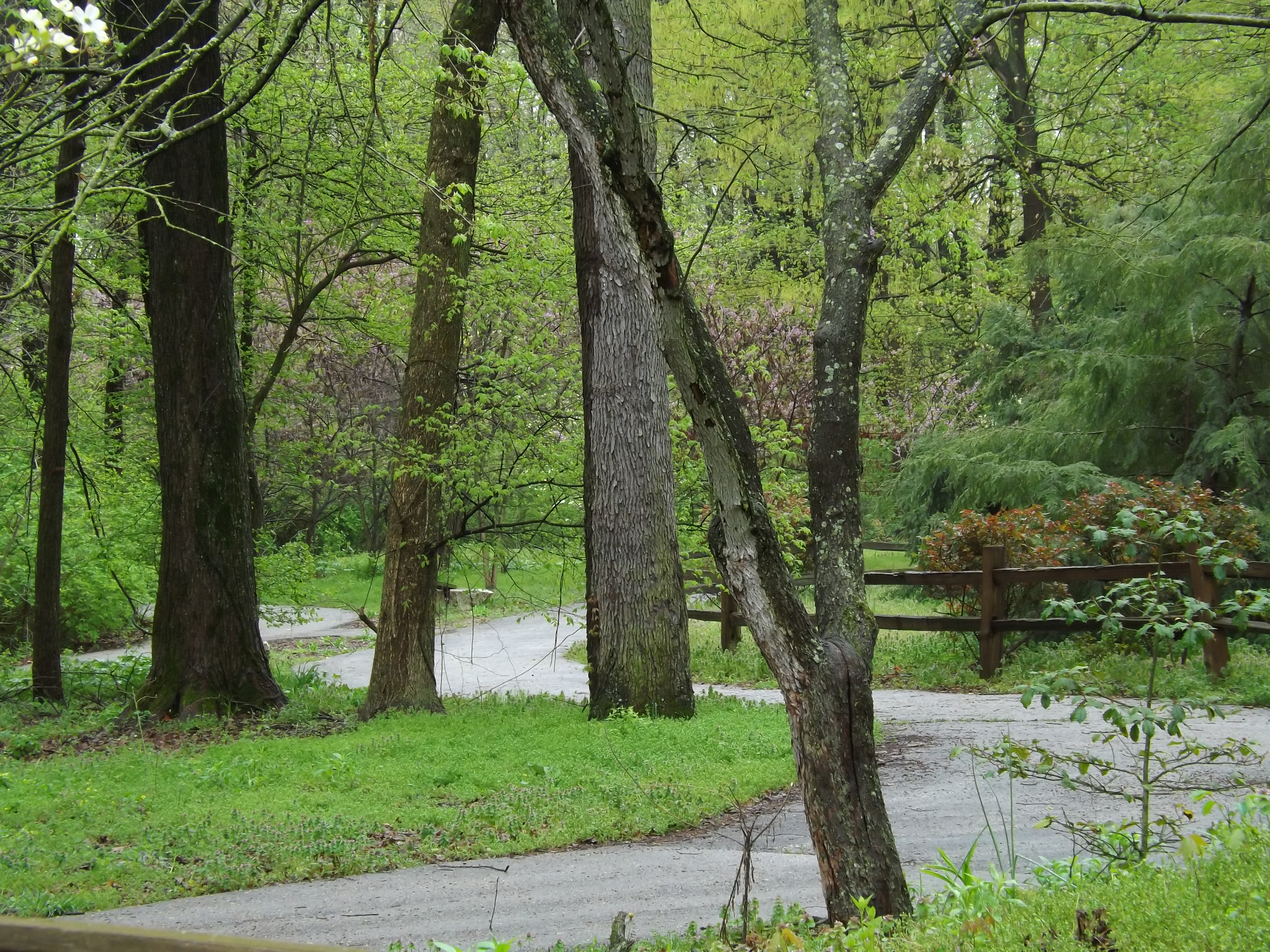
keep going

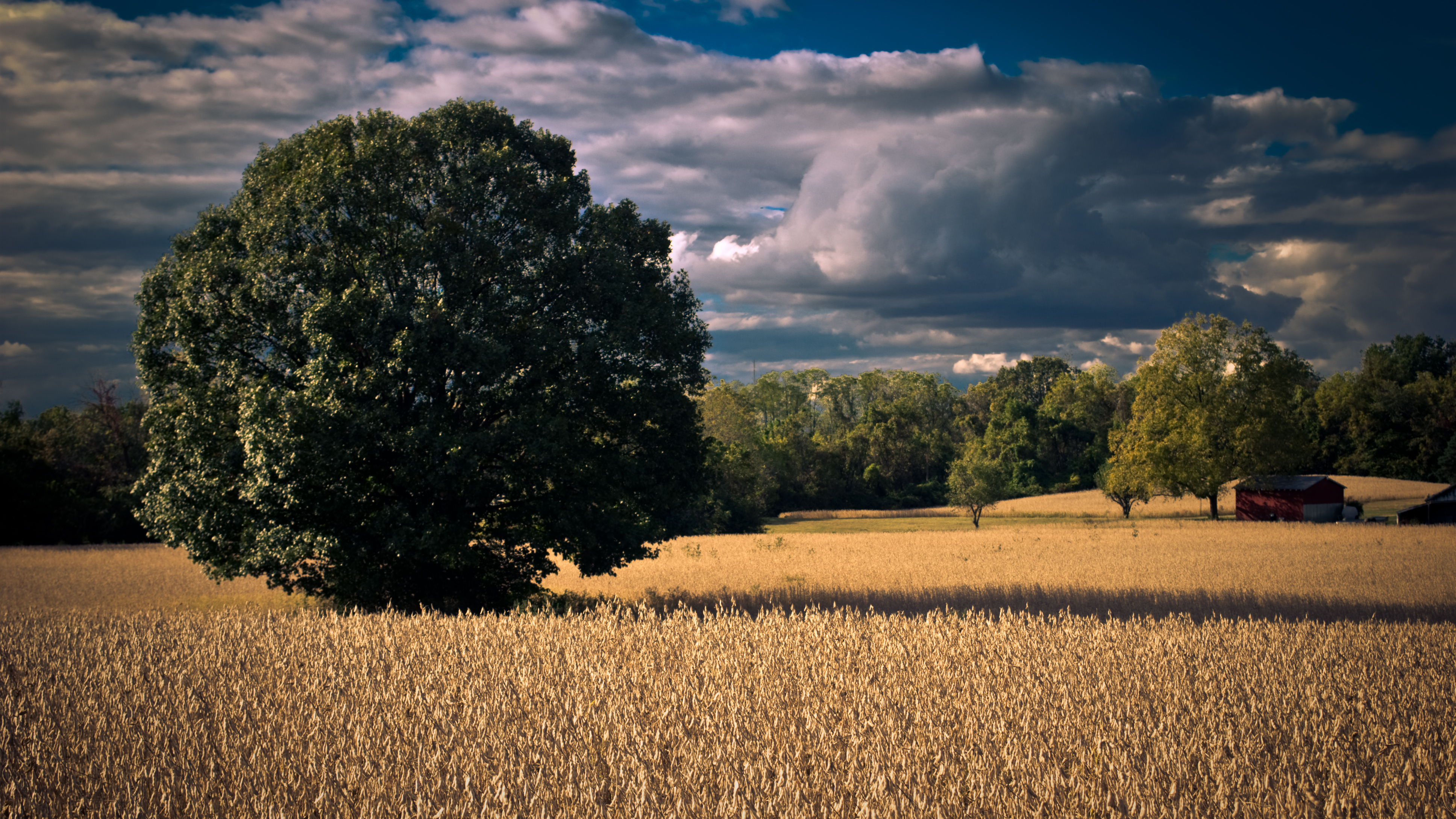
A Terre Haute Sunset
where do we go from here?
2012-07-25 06.41.47
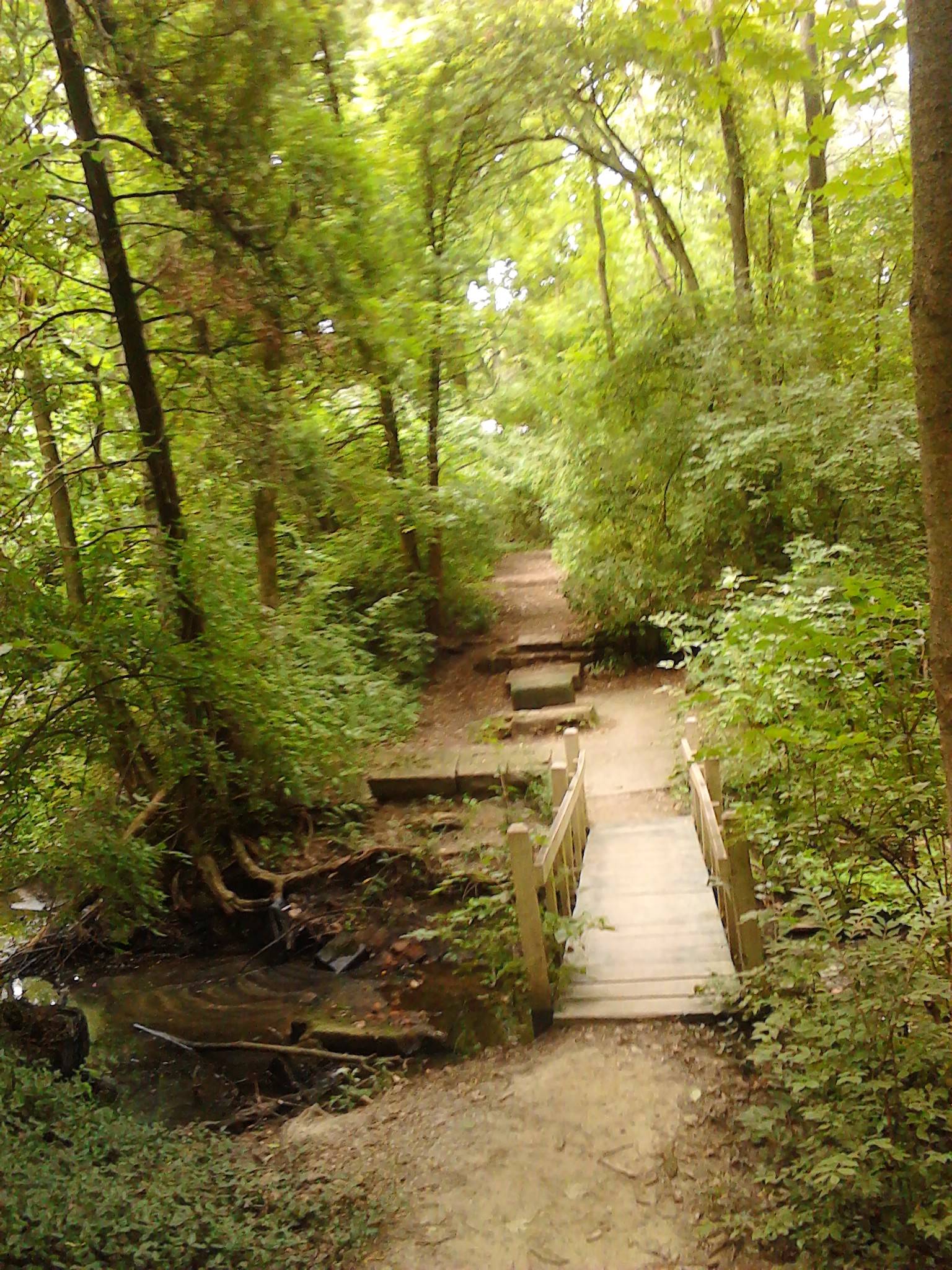
A little wooden bridge across a wooded stream

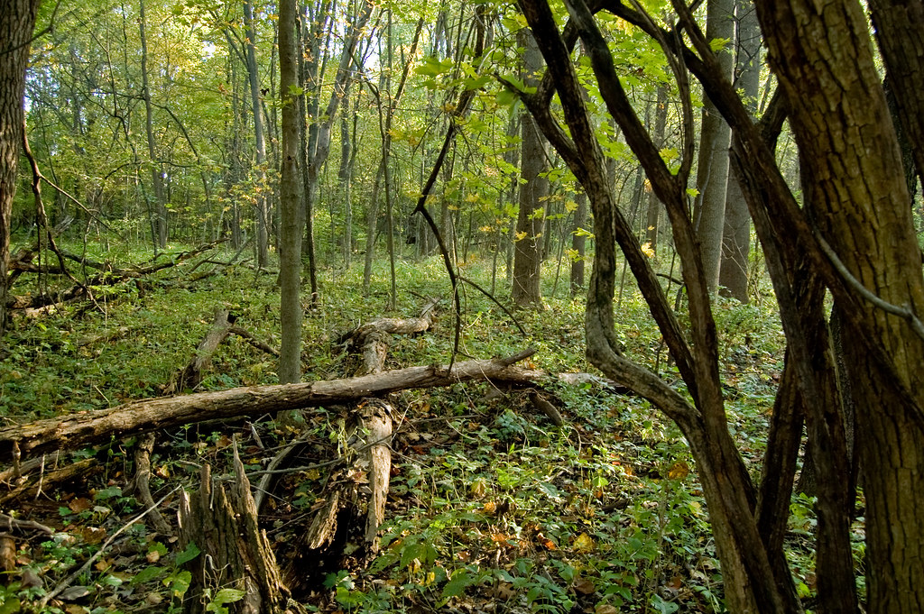
jamie s grimes folder 2 nature shots 004
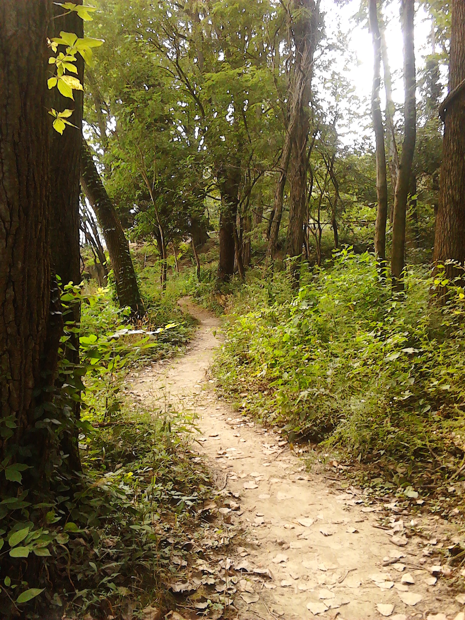
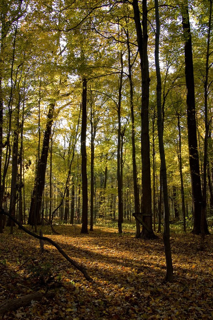
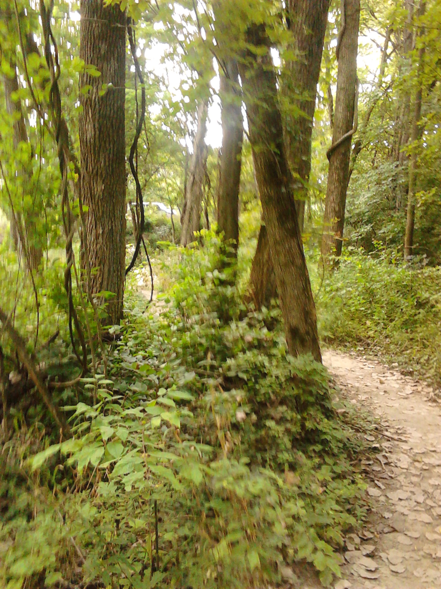
A day for a walk on a wooded path
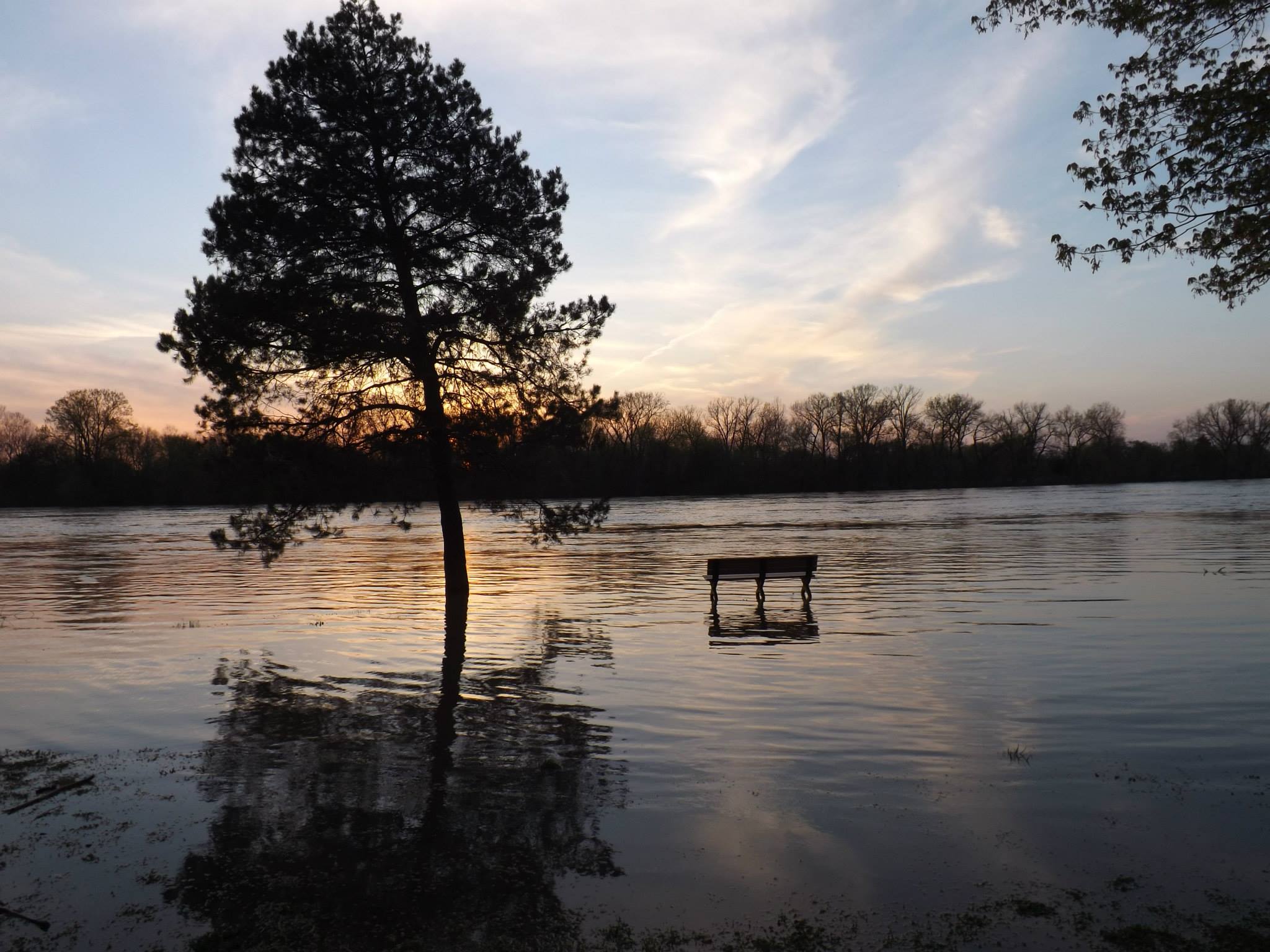
sunset on the flooded wabash river in terre haute indiana -by jamie s grimes
el bosque

Upland Sandpiper by Marty Jones
jamie s grimes folder 392

Where do they lead to ?
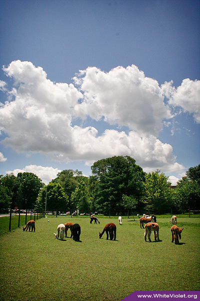
White Violet Farm Alpacas
Lonely Tree
good afternoon!
Whats back here ?
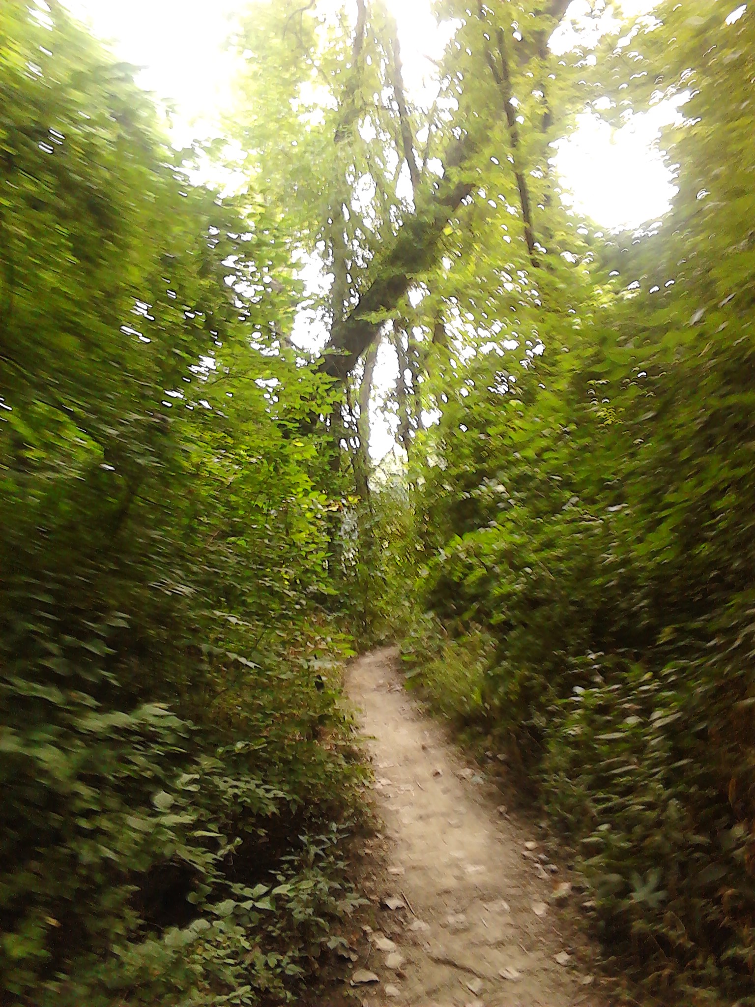
Would you take a walk with me threw the woods on a summer day ?
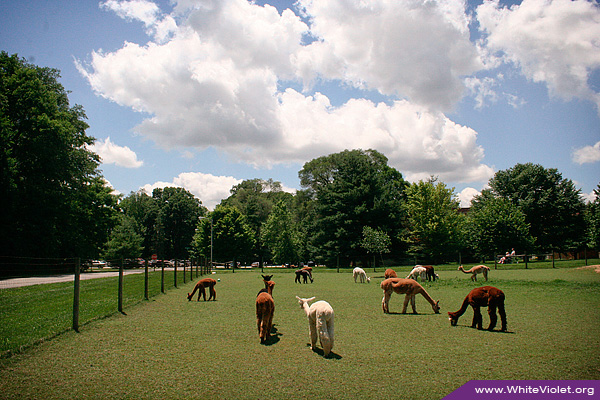
White Violet Farm Alpacas
Topographic Map of N Arms Pl, St Mary-Of-The-Woods, IN, USA
Find elevation by address:

Places near N Arms Pl, St Mary-Of-The-Woods, IN, USA:
Saint Mary-of-the-woods
River Rd, West Terre Haute, IN, USA
Sugar Creek Township
4301 Old Paris Rd
West Terre Haute
Toad Hop
1000 N 1st St
1840 N 9th St
1840 N 9th St
Collett Park
Terre Haute
Indiana State University
N 16th St, Terre Haute, IN, USA
Fort Harrison
N 23rd St, Terre Haute, IN, USA
Harrison Township
Fort Harrison Rd, Terre Haute, IN, USA
Vigo County
East Halt Drive
North Terre Haute
Recent Searches:
- Elevation of Corso Fratelli Cairoli, 35, Macerata MC, Italy
- Elevation of Tallevast Rd, Sarasota, FL, USA
- Elevation of 4th St E, Sonoma, CA, USA
- Elevation of Black Hollow Rd, Pennsdale, PA, USA
- Elevation of Oakland Ave, Williamsport, PA, USA
- Elevation of Pedrógão Grande, Portugal
- Elevation of Klee Dr, Martinsburg, WV, USA
- Elevation of Via Roma, Pieranica CR, Italy
- Elevation of Tavkvetili Mountain, Georgia
- Elevation of Hartfords Bluff Cir, Mt Pleasant, SC, USA