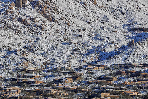
Elevation of N 70th Way, Scottsdale, AZ, USA
Location: United States > Arizona > Maricopa County > Scottsdale > Terravita >

Longitude: -111.93003

Latitude: 33.7929773

Elevation: 686m / 2251feet

Barometric Pressure: 93KPa

Elevation Map:

elevation map of N 70th Way, Scottsdale, AZ, USA

Satellite Map:

Satellite map of N 70th Way, Scottsdale, AZ, USA

Related Photos:

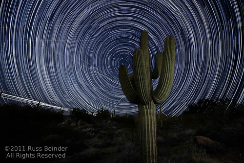
vacation arizona cactus phoenix night photoshop star nikon long exposure desert tripod trails az getty scottsdale saguaro phx scottsdaleairport sdl d700 skyharbourairport startrailsexe 1424mmf28g 2011033101333
Flight Path
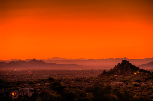
sunset night az clear scottsdale hdr photomatix platinumphoto goldstaraward 2008101300070
Scottsdale Sunset
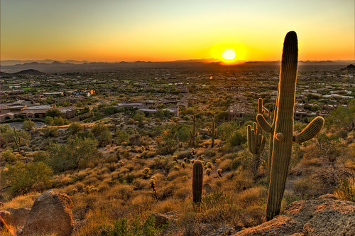
sunset arizona cactus phoenix sunrise landscape desert horizon scenic az scottsdale hdr blueribbonwinner photomatix diamondclassphotographer flickrdiamond 2008101300030
Cactus Sunset
flowers cactus plants contrast cacti sunrise desert hasselblad h3d h3d31
Sunrise Cactus
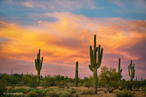
sunset arizona cactus sky southwest art nature phoenix beautiful clouds sunrise landscape scenery colorful desert tucson scenic views scottsdale saguaro sonoran epic hdr jamesinsogna
Saguaro Desert Life
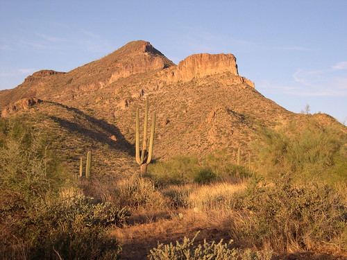
arizona arizonawonders pinnaclepeak scottsdale scottsdalearizona saguaro cactus cacti desert southwest
"Saguaro You Here?"--pun by Paul Ewing and Tim Lefler
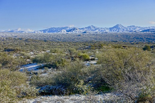
32. View along Bartlett Dam Road toward St. Clair Peak on a crisp New Year's Day
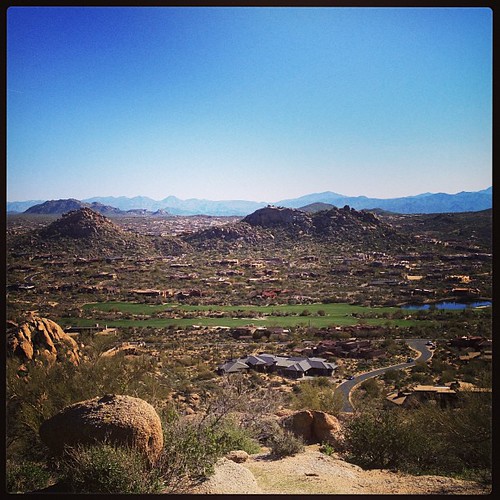
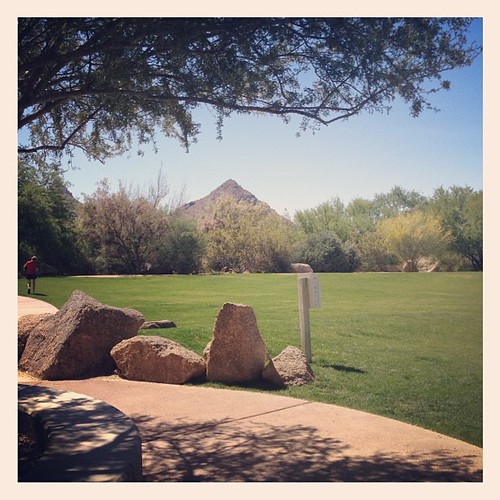
square squareformat mayfair iphoneography instagramapp uploaded:by=instagram foursquare:venue=4b683a5df964a520fa6c2be3
View from #pinnaclepeak highest point #scottsdale
ranch arizona mountain forest landscape spur cross outdoor hiking az hike national tonto hikes cavecreek tontonationalforest elephantmountain spurcross unature azhike alhikesaz
Elephant Mountain Sunrise
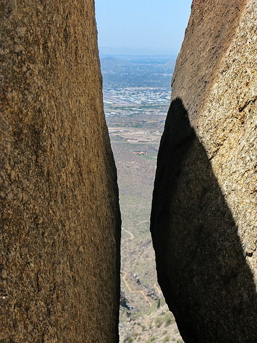
arizona phoenix rock 510fav desert hiking quote hike trail granite scottsdale sonoran rockclimbing preserve sonorandesert formations mcdowellmountains mcdowell tomsthumb 100v5f mcdowellsonoranpreserve azhike alhikesaz intphoenix
Tom's Thumb looking down at the trail - McDowell Sonoran Preserve
park county arizona mountains building green nature rock architecture creek energy desert hiking leed country parks center structure system area cave recreation visitor sonoran regional sonorandesert hikes cavecreek visitorcenter naturecenter maricopa usgbc maricopacounty efficient energyefficient leedcertified azhike alhikesaz cavecreekrecreationarea maricopacountyparkssystem intphoenix
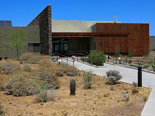
Cave Creek Recreation Area Nature Center
arizona cactus saguaro cavecreek saguarocactus supershot spurcrossranch anawesomeshot impressedbeauty photocontesttnc10 waynebierbaum
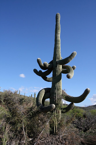
All I Asked Was, "Which Way?"
wild arizona usa animal us unitedstates desert bokeh reptile az lizard zebra scottsdale sonorandesert tailed tc14eii 70200mmf28gvr
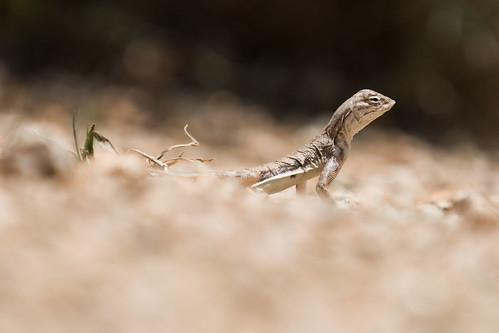
Zebra-tailed Lizard
square squareformat iphoneography instagramapp uploaded:by=instagram foursquare:venue=4e446810628485fd4c6058c0
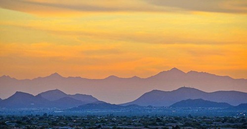
The evening view from Black Mountain.
square sierra squareformat iphoneography instagramapp uploaded:by=instagram foursquare:venue=4c005bd6379020a10963467f
This view never gets old #troonnorth
arizona music macro phoenix closeup museum canon box antique az musical instrument hdr mim luminance 50d qtpfsgui
Antique Music Box in HDR
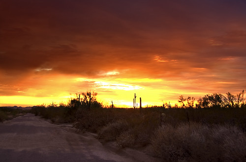
sunset arizona cactus sky cloud sun fall phoenix weather topv111 clouds cacti landscape desert cloudy scenic naturallight topv222 valley vista orangesky goldensunset dramaticsky hdr beautifulclouds beautifulview sunray desertview 2007 eveninglight phoenixarizona afternoonlight phoenixaz scenicview desertmountain eerielight maricopacounty goldensky welltaken nikond200 unusuallight flickrsbest glowingcloud dearflickrfriend shieldofexcellence jimhankey arizonaweather phoenixweather phoenixariz arizonafall
The Middle Of Nowhere Shows Its Good Side
shadow sun moon canon solar eclipse mark may peak ii 5d 2012
May 2012 solar eclipse peak from Phoenix, Arizona, USA
city arizona southwest street canon vintage old retro diner cafe restaurant food cavecreek bigearls nostalgic nostalgia classic gasstation 1930s thirties ephemeral sign signage tree america unitedstates southwestern nourriture nahrungsmittel maricopacounty schild signo signe alimentation eten comestible pagkain letrero american usa añejo época clásico teken uithangbord skilt skylt comhartha segno seña baum árbol arbre
Cool Retro Diner Arrow Sign: Big Earl's Greasy Eats, Cave Creek, Close-up, West View
park sunset red arizona sky orange cloud sun mountain storm mountains phoenix weather clouds landscape gold spring desert cloudy scenic naturallight sunny stormy valley vista orangesky goldensunset dramaticsky 2009 beautifulclouds beautifulview sunray desertview cavecreek eveninglight phoenixarizona stormyweather beautifulscenery afternoonlight redsunset phoenixaz cumulous scenicview desertmountain eerielight maricopacounty goldensky nikond200 unusuallight loweringsky glowingcloud loomingcloud dearflickrfriend jimhankey arizonaspring arizonaweather phoenixweather phoenixariz vosplusbellesphotos phoenixspring
The West Gets All The Best Colors . . .
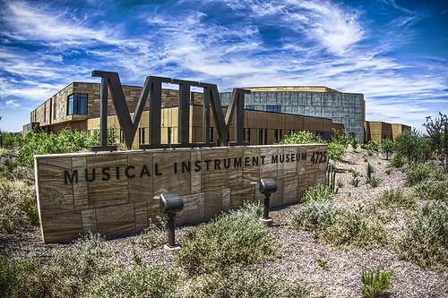
arizona phoenix sign museum canon az musical instrument hdr mim luminance 50d qtpfsgui
Musical Instrument Museum HDR
nature landscape landscapes
02-23-19-0048572
nature landscape
02-19-19-0048217 1
nature landscape landscapes
02-23-19-0048562 1
landscape nature
02-19-19-0048235
nature landscape
02-19-19-0048216
01-29-19-0046288
landscape nature
02-19-19-0048156
nature landscape landscapes
02-23-19-0048581
landscape nature
02-19-19-0048159 1
nature landscape landscapes
02-23-19-0048570 1
landscape nature
02-19-19-0048157
landscape nature
02-19-19-0048202
nature landscape landscapes
02-25-19-0048771
nature landscape landscapes
02-23-19-0048592
nature landscape landscapes
02-23-19-0048561
nature landscape
02-13-19-0047442 2
nature landscape
02-19-19-0048187
01-29-19-0046310
nature landscape
02-19-19-0048216 1
nature landscape
02-19-19-0048218 2
landscape nature
02-19-19-0048225 1