Elevation of N 37th Rd, Serena, IL, USA
Location: United States > Illinois > Lasalle County > Serena Township > Serena >
Longitude: -88.730736
Latitude: 41.460096
Elevation: 166m / 545feet
Barometric Pressure: 99KPa
Elevation Map:
Satellite Map:
Related Photos:

Controls and misc in cockpit

Light as a feather

light of lincoln

2011-03-26 06.36.23

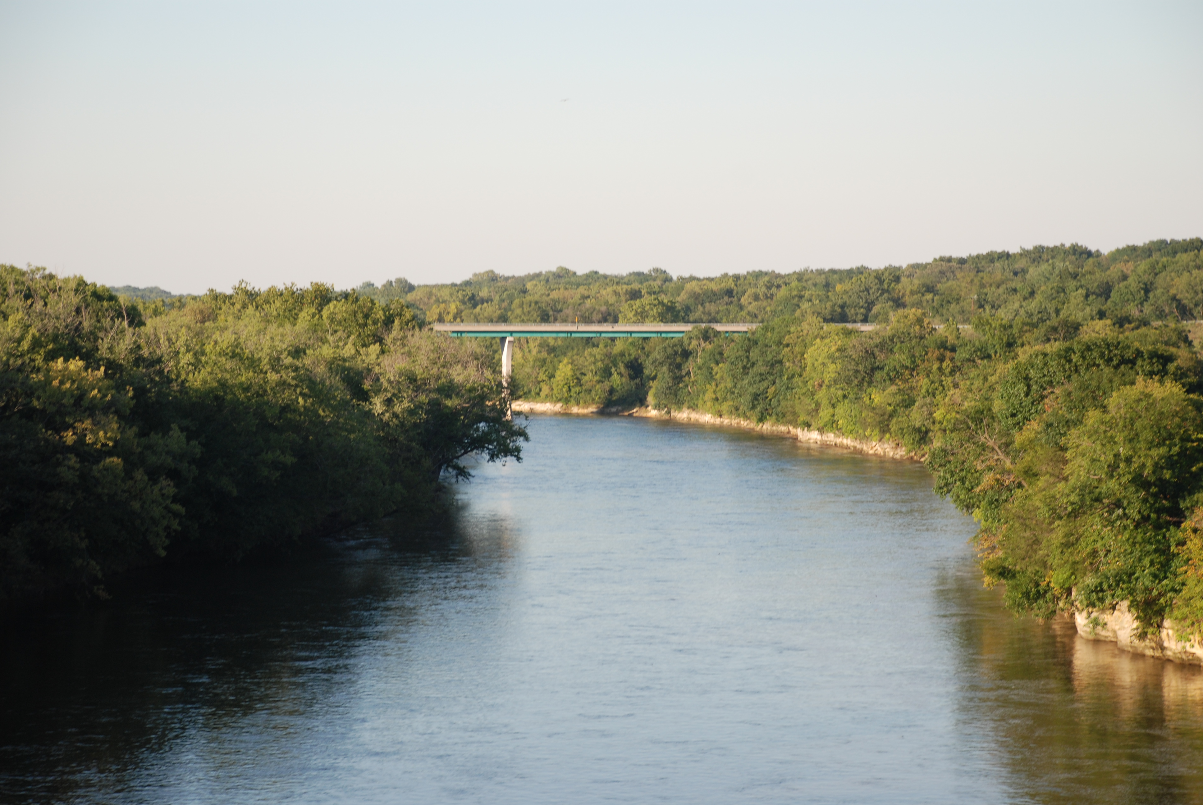
Railroad bridge view from another bridge on Illinois river - Ottawa IL

Rt. 71 Barns

2011-03-26 06.44.24

2011-03-26 06.38.15

2011-03-26 06.31.28

2011-03-26 06.35.56

2011-03-26 06.44.08

2011-03-26 06.35.45

2011-03-26 06.36.04

Congress St corner
20131027 49 Illinois Railway crossing Fox River
20131028 13 Rural Illinois
Downtown Alley - Ottsawa, IL - 03 July 2016 - 5DS - 022A

Millington Tracks

Trike landing at sunset
41st Rd

FoxRiverKayak110809-080027
FoxRiverKayak102409-240033

20131027 48 Birdhouse near Sheridan, Illinois

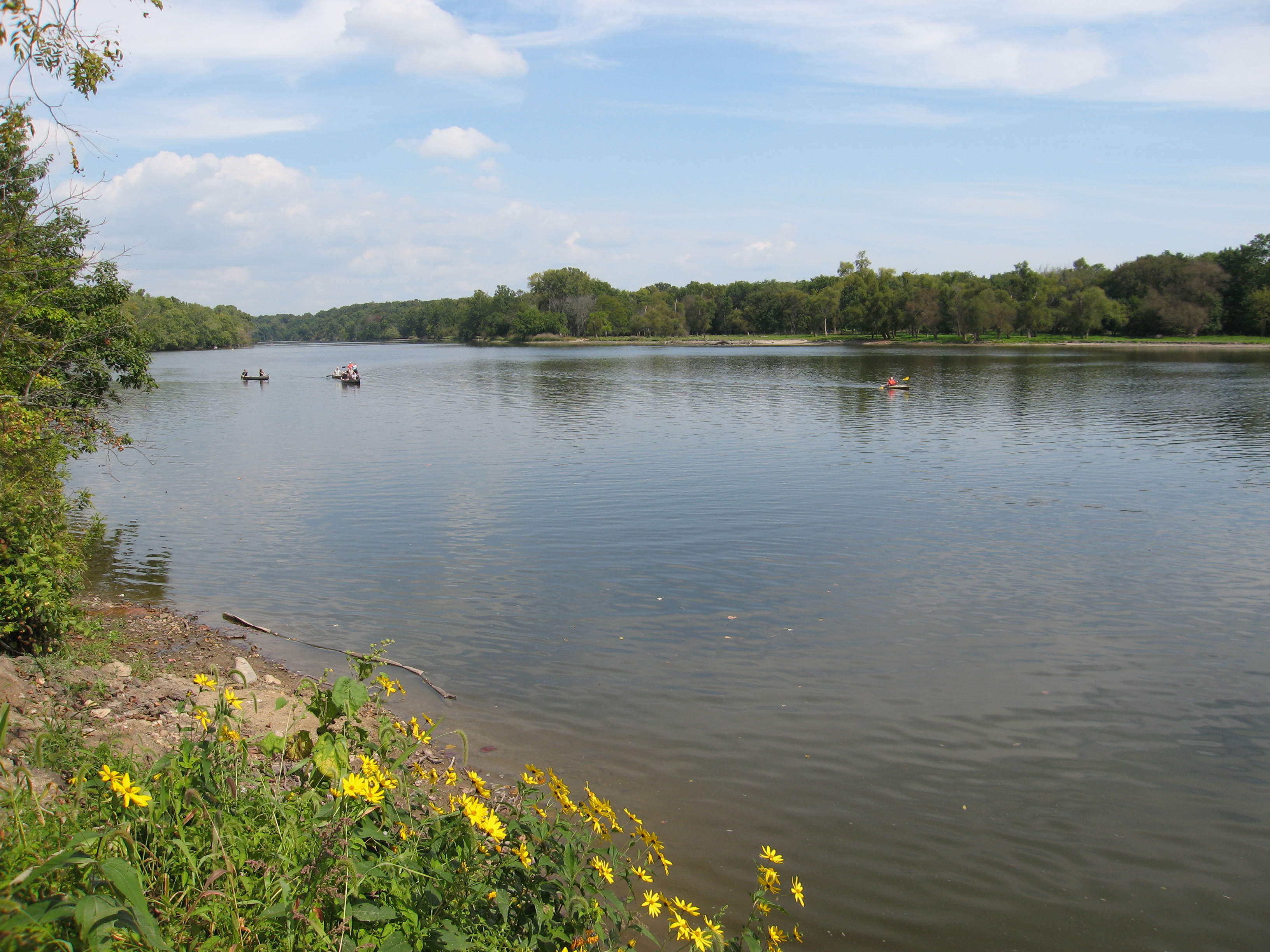
Lois Landing Takeout

Passenger Cars in Ottawa, Illinois

Just a smidge later ~ It is all so different now ~ Funny how that works

Railnet Reflections

Illinois 395

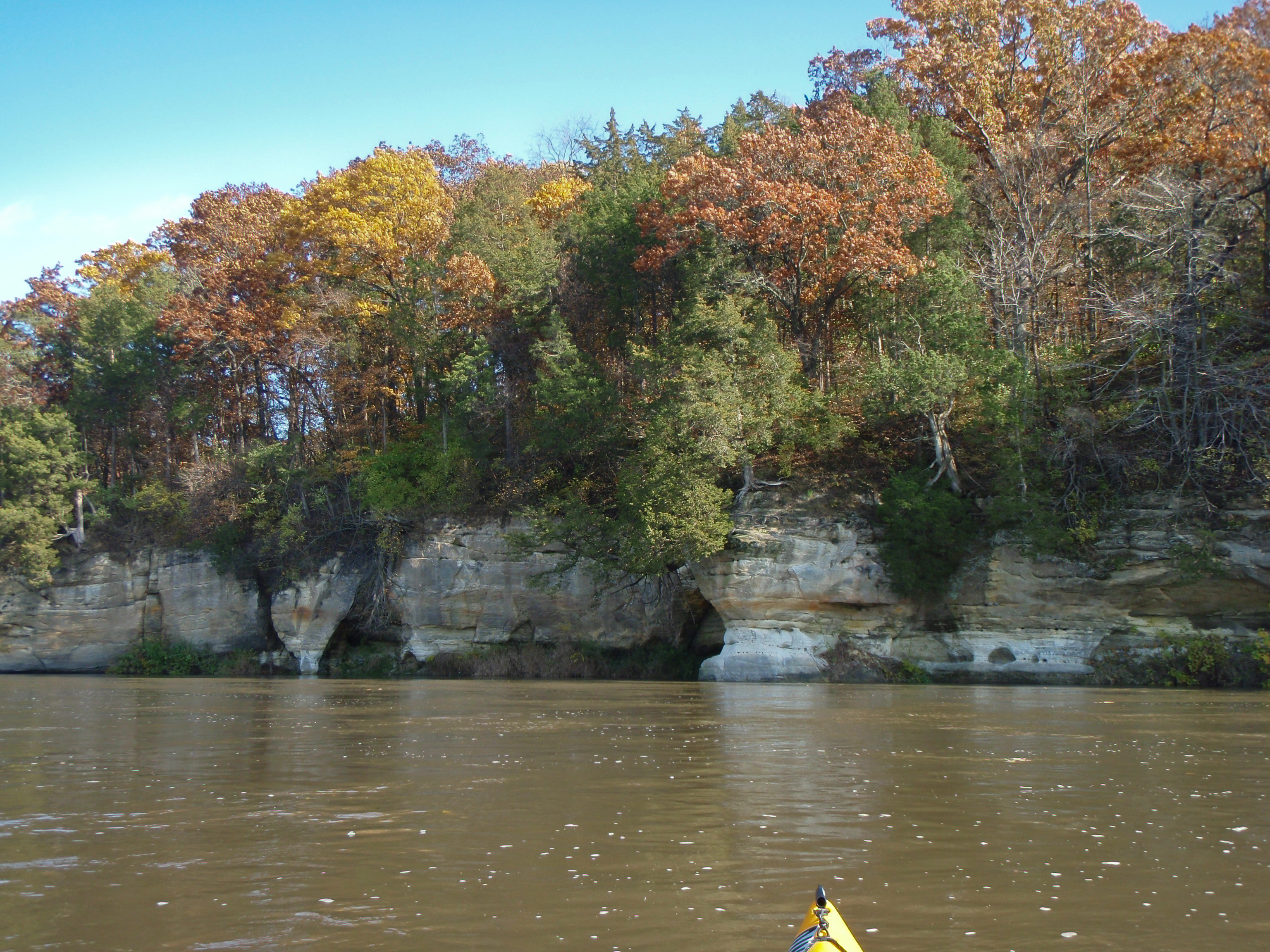
Confluence of the Fox and Illinois Rivers
Fox River - Dayton IL
090919_033-Shot from the take-out point

Rt. 71 Barns
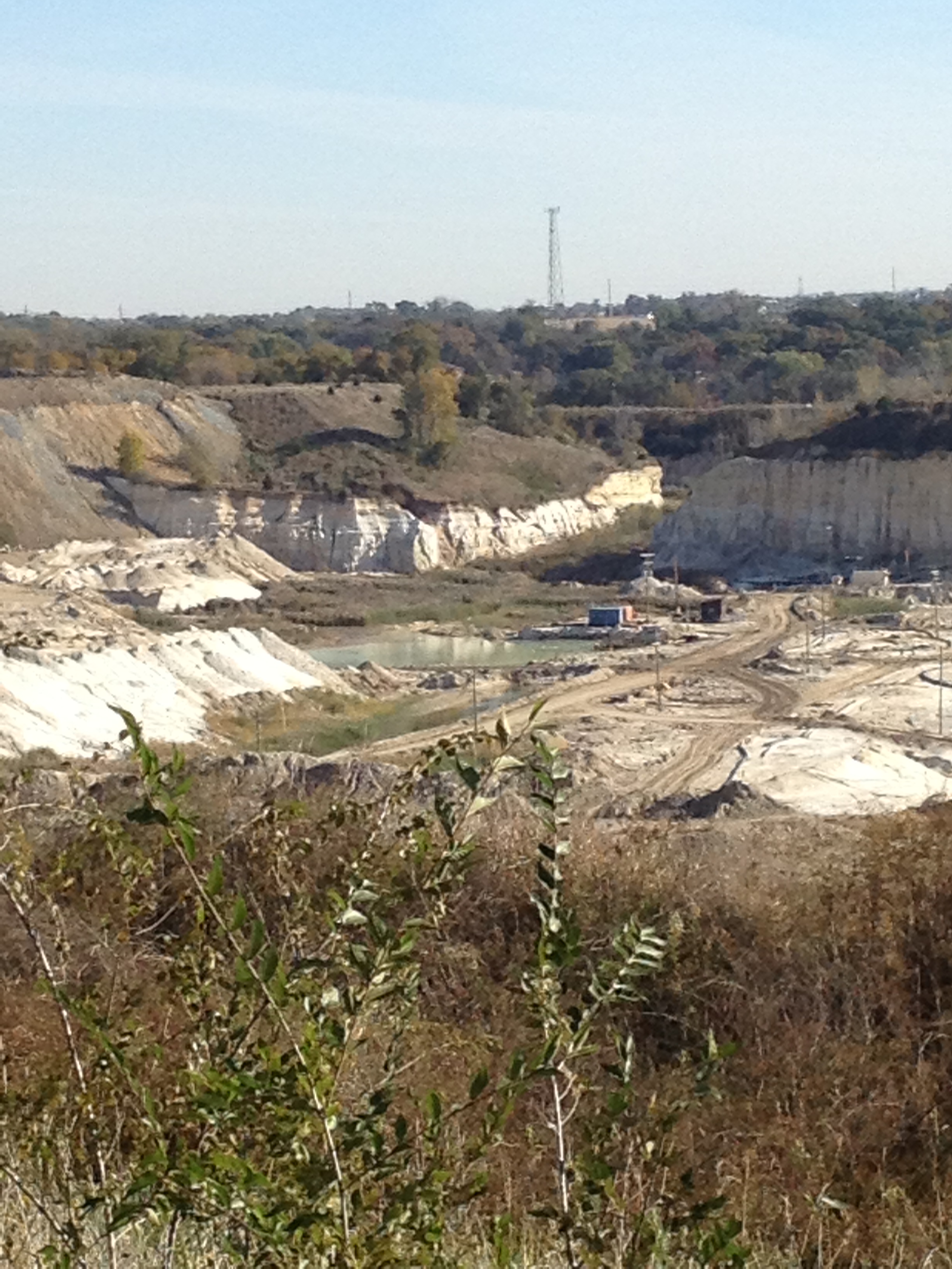
20131027 16 Sandpits near Wedron, Illinois
Topographic Map of N 37th Rd, Serena, IL, USA
Find elevation by address:

Places near N 37th Rd, Serena, IL, USA:
IL-71, Sheridan, IL, USA
Norway
Skydive Chicago
Dayton Township
Miller Township
1120 Carter St
957 Glen Ave
806 Bratton Ave
Marseilles
Stavanger
Marseilles, IL, USA
501 1st Ave
201 Chicago St
733 E Main St
701 E Main St
507 E Main St
E 28th Rd, Seneca, IL, USA
925 La Salle St
Ottawa
533 State St
Recent Searches:
- Elevation of Corso Fratelli Cairoli, 35, Macerata MC, Italy
- Elevation of Tallevast Rd, Sarasota, FL, USA
- Elevation of 4th St E, Sonoma, CA, USA
- Elevation of Black Hollow Rd, Pennsdale, PA, USA
- Elevation of Oakland Ave, Williamsport, PA, USA
- Elevation of Pedrógão Grande, Portugal
- Elevation of Klee Dr, Martinsburg, WV, USA
- Elevation of Via Roma, Pieranica CR, Italy
- Elevation of Tavkvetili Mountain, Georgia
- Elevation of Hartfords Bluff Cir, Mt Pleasant, SC, USA