Elevation of N 15th St, Richmond, IN, USA
Location: United States > Indiana > Wayne County > Wayne Township > Richmond >
Longitude: -84.881207
Latitude: 39.833884
Elevation: 305m / 1001feet
Barometric Pressure: 98KPa
Elevation Map:
Satellite Map:
Related Photos:

Pepper the thug pug

Pepper the black Pug puppy! [DO NO STEAL THIS!]

View from the Balcony
David Worth Dennis House

Wayne County, Indiana Courthouse in Spring
Gaar Mansion
Wayne County, Indiana Courthouse
Gaar Mansion at Christmas

Cracked Rear View
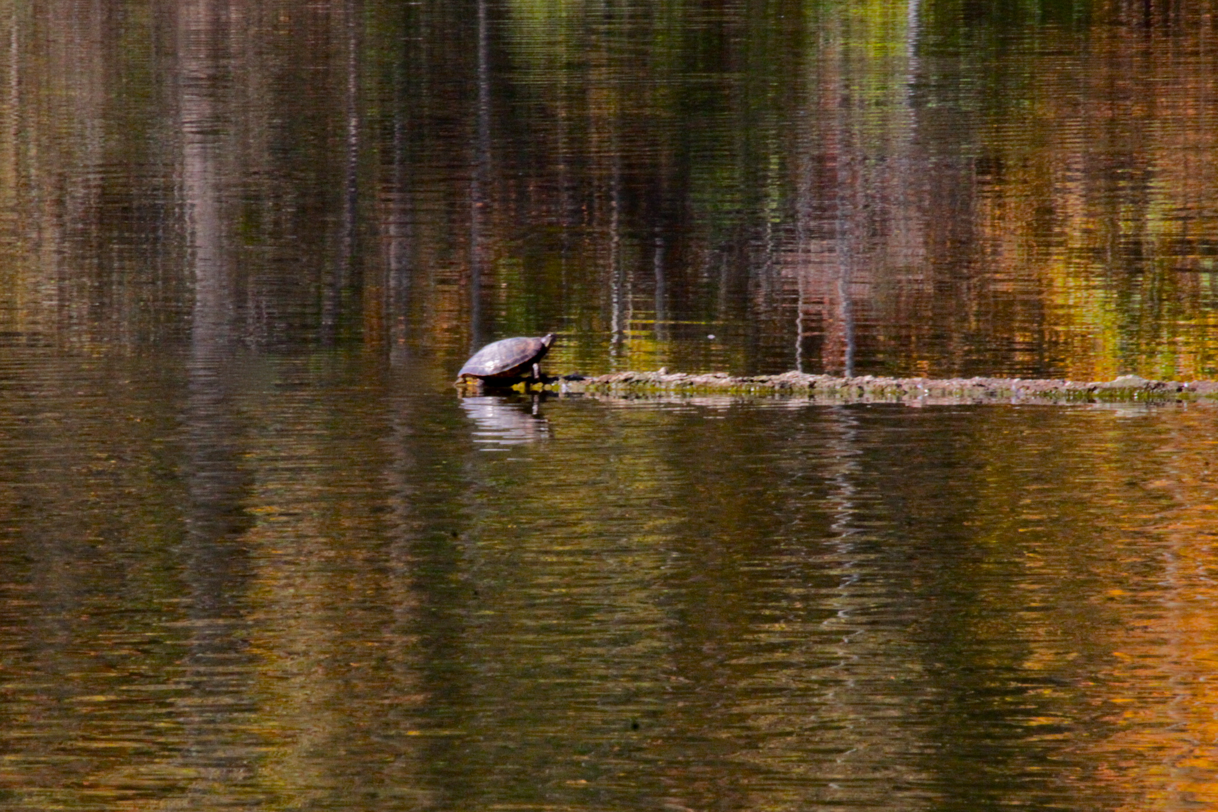
Autumn Reflections
Hagerstown, Indiana project
Expanded Deck and View at Middlefork Reservoir
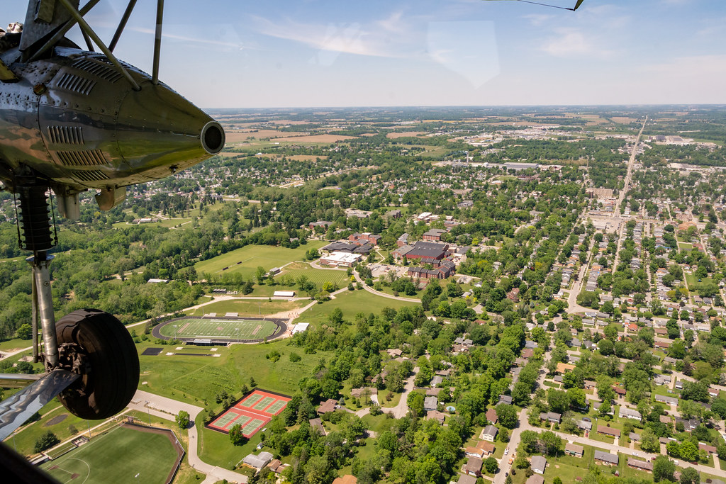
Aerial View of Earlham's Athletic Fields
Giant Cross at New Creations Chapel
Richmond, IN
Fall Road
Aerial View of Charles Elementary School
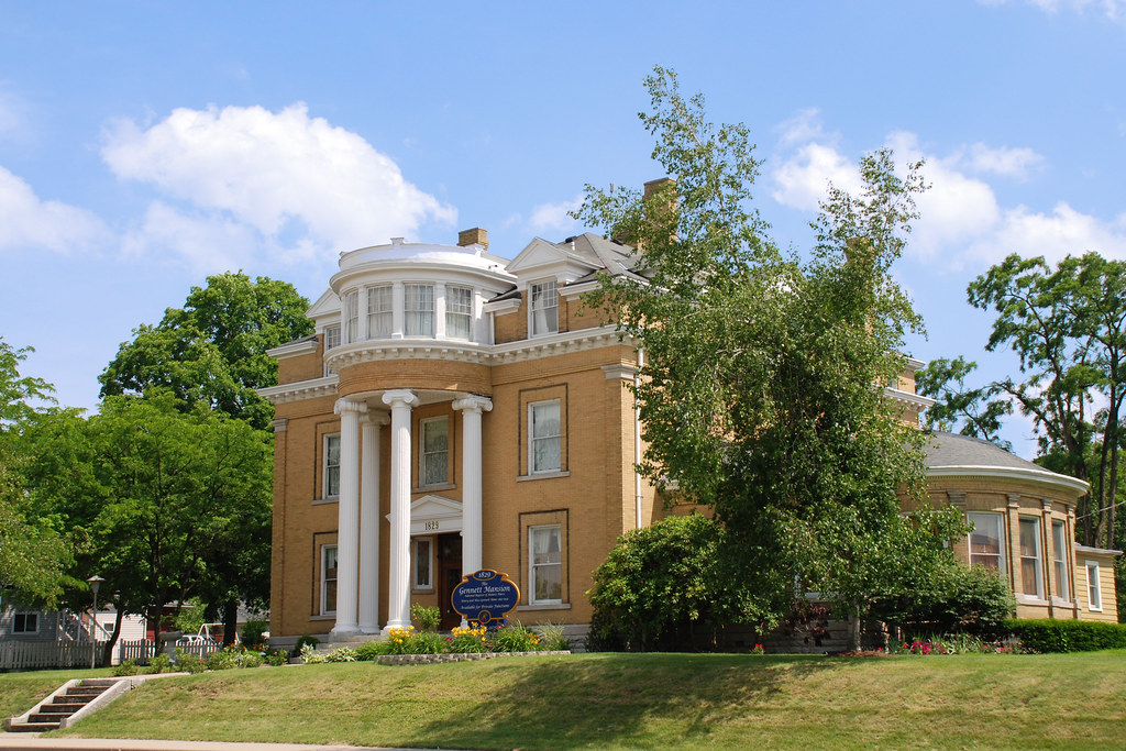
The Gennett Mansion
View North Across the Gorge
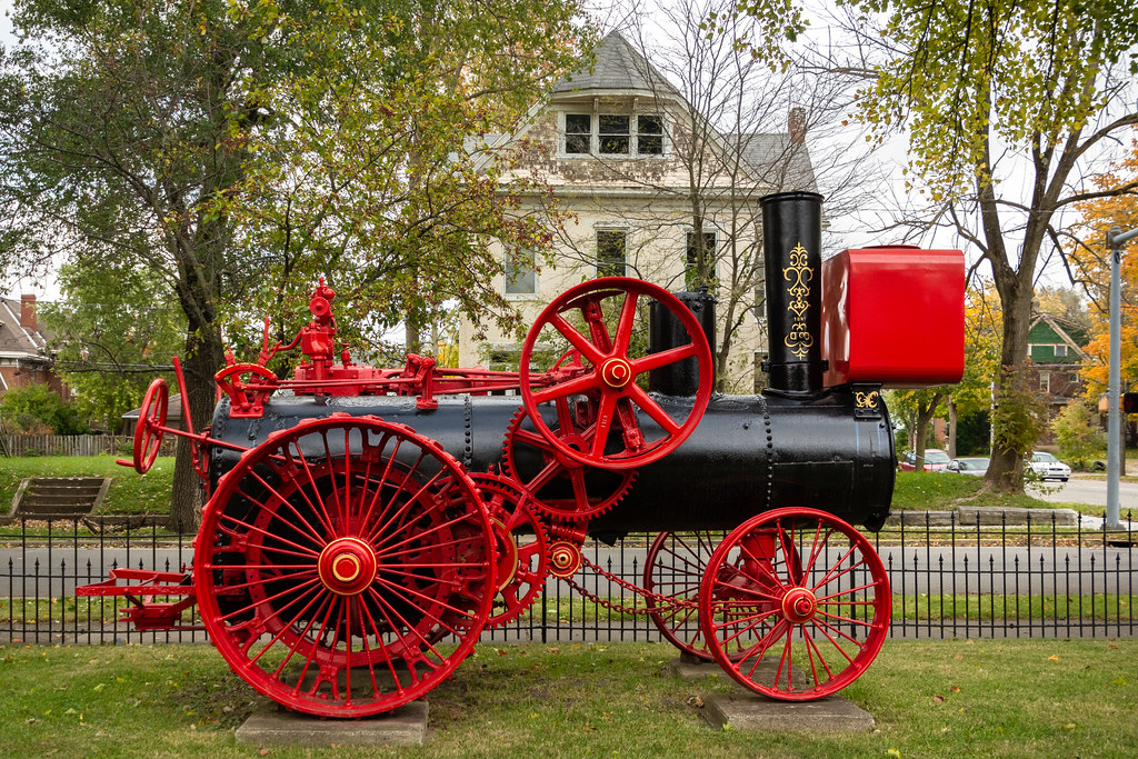
Robinson & Co. Steam Engine - Side View

Gaar Mansion

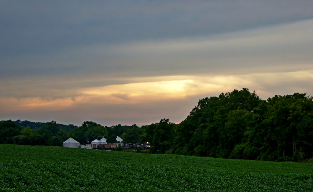
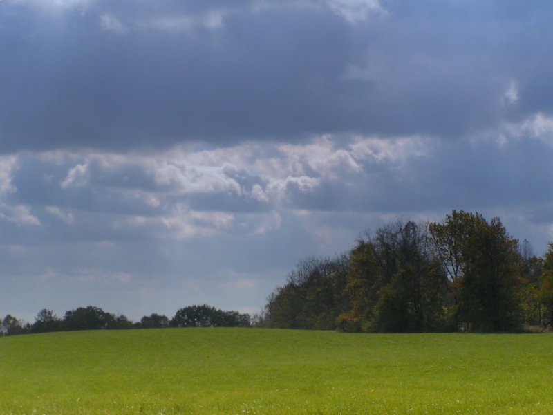
Field and Sky
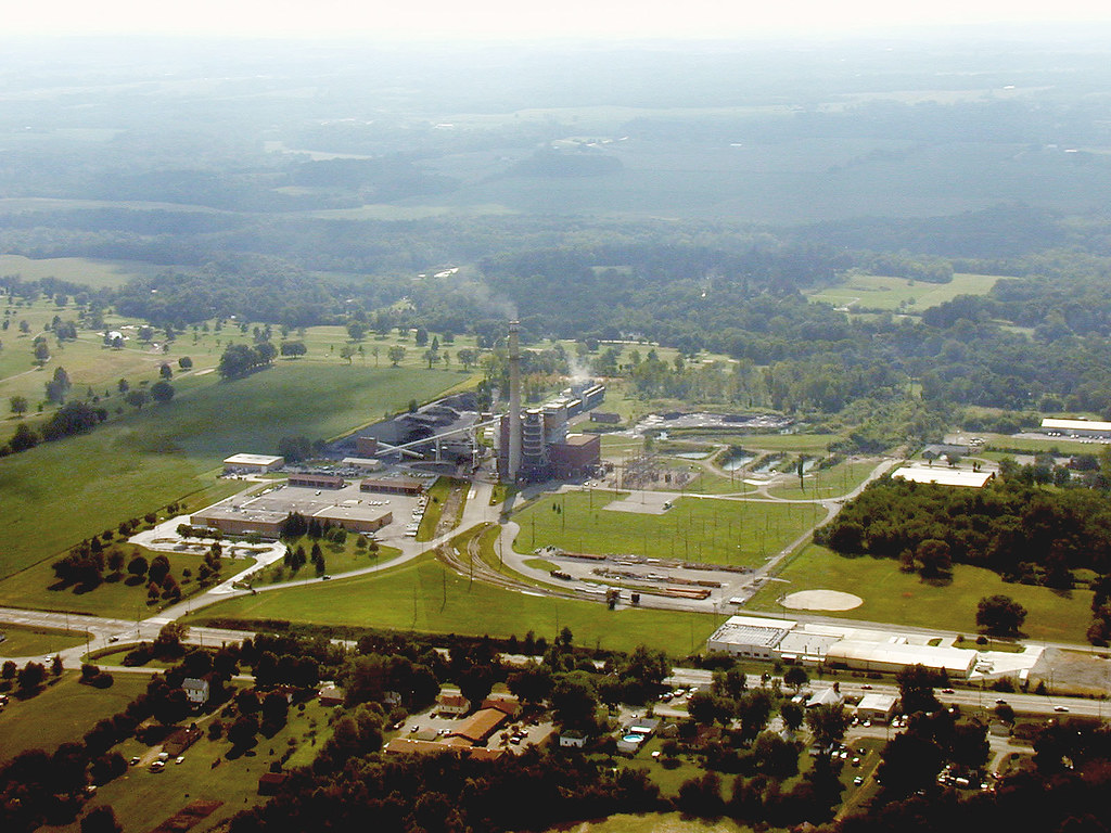
Richmond Power and Light

The Weathered Sign
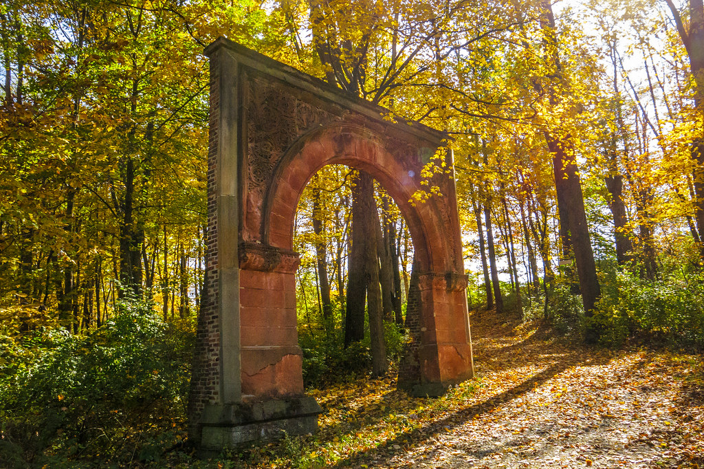
Garfield Arch
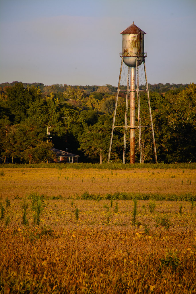
Old-Fashioned Water Tower

December 12, 2014
#view from the #road
#nature #trees #Indiana #Midwest #365project #365travpol
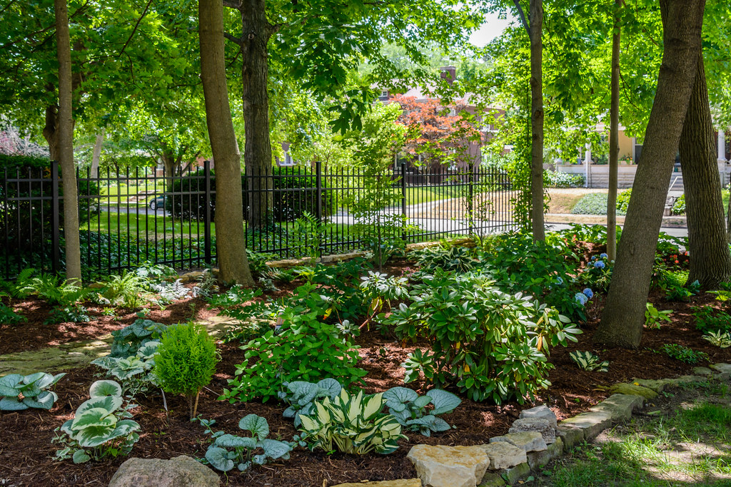
Shade Garden

Truck Transport (DTB_0306)
Potash Sunset
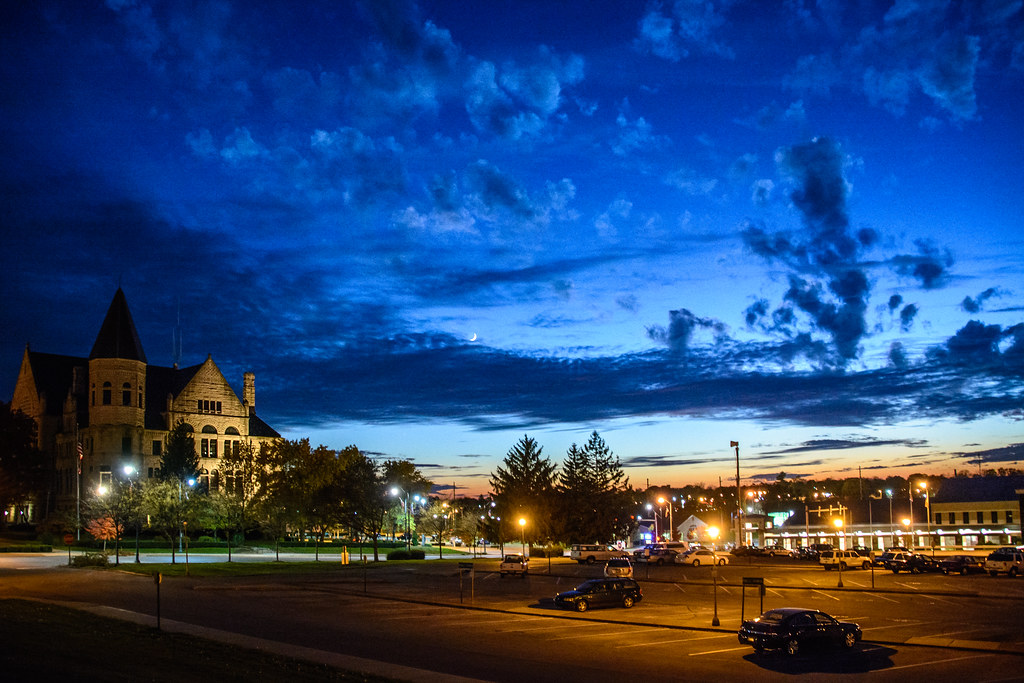
Government Campus at Twilight
#naturephotography #springtime

#naturephotography #Indiana #midwest #wetlands
The Field

Fall Lane
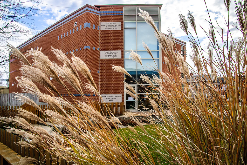
Centerville Library - New Addition
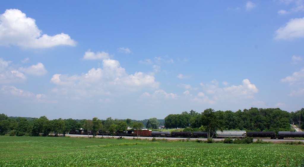
NS 124 at Greensfork Indiana

Fall at Glen Miller Park
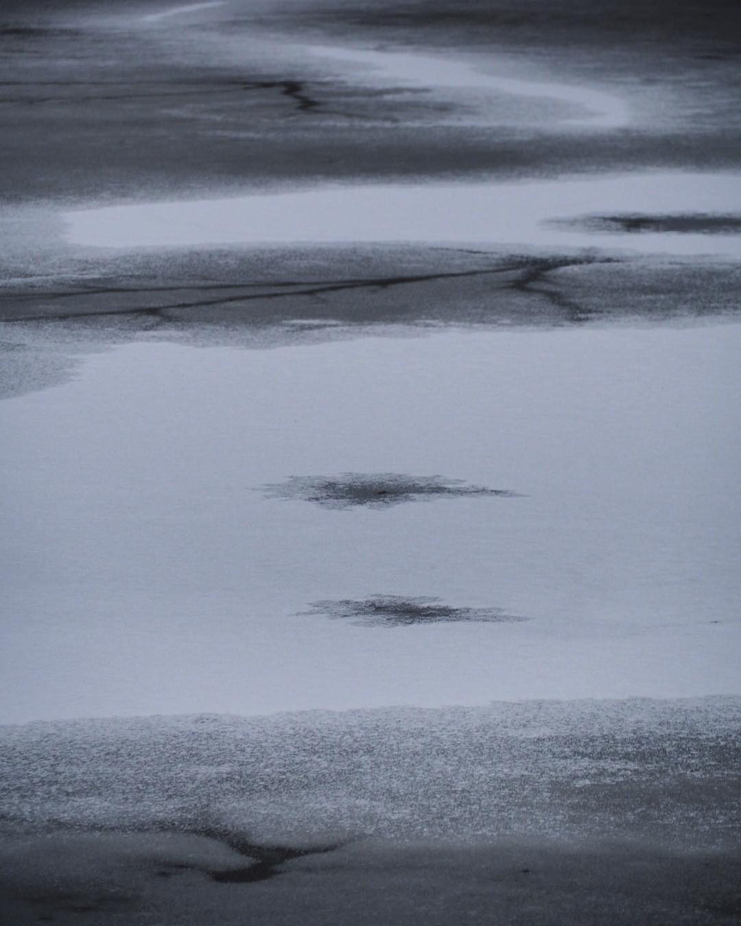
Kite pond frozen at Cope
Topographic Map of N 15th St, Richmond, IN, USA
Find elevation by address:

Places near N 15th St, Richmond, IN, USA:
Richmond
Wayne Township
Richmond, IN, USA
530 Indiana Ave
Linkay Place
908 College Ave
1414 Hunters Pointe Dr
IN-, Richmond, IN, USA
Indiana University East
3033 Smyrna Rd
1649 Rich Rd
2486 Boston Township Line Rd
2474 Boston Township Line Rd
2482 Boston Township Line Rd
Boston Township Line Road
2488 Boston Township Line Rd
2490 Boston Township Line Rd
28 NW 5th St, Richmond, IN, USA
Chester
2450 Test Rd
Recent Searches:
- Elevation of Corso Fratelli Cairoli, 35, Macerata MC, Italy
- Elevation of Tallevast Rd, Sarasota, FL, USA
- Elevation of 4th St E, Sonoma, CA, USA
- Elevation of Black Hollow Rd, Pennsdale, PA, USA
- Elevation of Oakland Ave, Williamsport, PA, USA
- Elevation of Pedrógão Grande, Portugal
- Elevation of Klee Dr, Martinsburg, WV, USA
- Elevation of Via Roma, Pieranica CR, Italy
- Elevation of Tavkvetili Mountain, Georgia
- Elevation of Hartfords Bluff Cir, Mt Pleasant, SC, USA