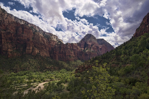
Elevation of Mystic River Estates, Mystic River Dr, Glendale, UT, USA

Location: United States > Utah > Kane County > Glendale >

Longitude: -112.59751

Latitude: 37.31715

Elevation: 1757m / 5764feet

Barometric Pressure: 82KPa

Elevation Map:

elevation map of Mystic River Estates, Mystic River Dr, Glendale, UT, USA

Satellite Map:

Satellite map of Mystic River Estates, Mystic River Dr, Glendale, UT, USA

Related Photos:

print poster photography utah orderville slotcanyon americansouthwest mandj98 jmpphotography jamesmarvinphelps redhollowslotcanyon elkheartcliffs scenicbyway89
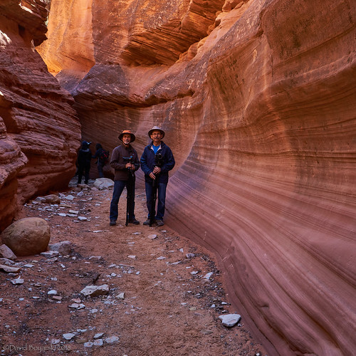
Red Hollow Slot Canyon
Orderville Utah - LDS Meetinhouse - View #2
canon5dmarkiii canonef24105mmf4lisusm landscape lightroom6 mountainpeaks mtcarmeljunction topazsw utah zionnationalpark
Oh Beautiful for Spacious Skies (HFF)
old trip travel vacation usa holiday cars chevrolet abandoned tourism car trash yard america truck utah high junk holidays unitedstates dynamic glendale alt decay united urlaub rusty historic journey forgotten oldtimer junkyard scrapyard states amerika mapping rost range verrostet ferien tone hdr highdynamicrange rostig reise carmageddon schrott junked staaten verfall vergessen verfallen schrottplatz vereinigtestaaten tonemapping vereinigte wasteyard
USA // Utah // Oldtimer Junkyard
autostitch panorama utah glendale iphone
Glendale, Utah Panorama - Our View For The Next Week
Orderville Utah - LDS Meetinhouse - View #1
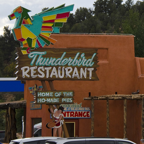
sign restaurant brycecanyon thunderbird homadepies dougmallnikond5100
Do They REALLY Mean That?
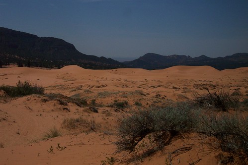
southwest geotagged ut coralpinksanddunesstatepark geolat37287622 geolon112468011
Coral Pink Sand Dunes State Park
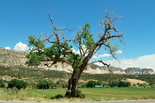
tree beauty utah perfect view zion orderville
Perfect Tree 2014
park trip utah rocks view unitedstates earth parks roadtrip canyon national massive huge vista bryce zion majestic htcone
IMAG2155.jpg
sunset sky utah
View from the Long Valley cabin
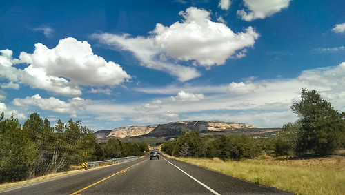
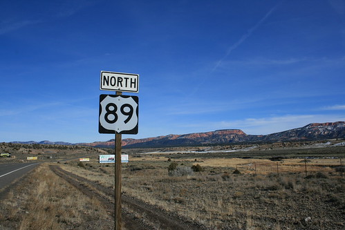
street schnee red wallpaper snow mountains field sign landscape utah weide route66 strasse north feld wolken bluesky canyon berge schild blau landschaft wildwest blauerhimmel hintergrund route89 wilderwesten
Route 89 - Utah
sky mountains valley majesty cs4 d600 zionnationalparkutah niksoftware topazadjust acr5
Deep In The Valley
abandoned abandonedbuilding canon5dmarkiii canonef24105mmf4lisusm derelict dilapidated landscape lightroom6 mtcarmeljunction shack topazsw utah
Scenes from the Road
utah unitedstates us canon 5div 5d4 horseshoe bend zion valley fire ultra wide eos lrcc landscape travel wanderlust
20160916 5DIV Zion Horseshoe Antelope 81
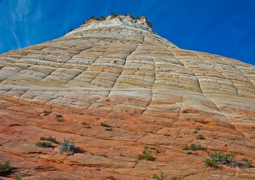
zion checkerboard mesa
Zion Checkerboard Mesa
utah zion kane
U.S. Route 89, Orderville, Utah
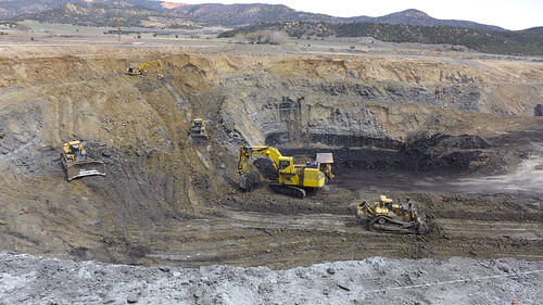
mine coal alton
Alton Coal Mine
utah zion kane
U.S. Route 89, Orderville, Utah
utah zion kane
U.S. Route 89, Orderville, Utah
utah zion kane
U.S. Route 89, Orderville, Utah
utah zion kane
U.S. Route 89, Orderville, Utah
Red Slot Canyon 20
buffalo cattle farm livestock
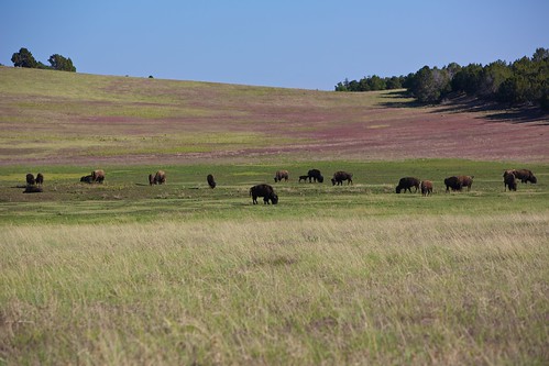
Buffalo! Outside Zion National Park, Utah.
Late storm
usa americanbison americanbuffalo
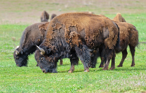
American bison
Peekaboo slot canyon near Kanab, Utah.
trees sky mountains clouds canyon cs4 d600 niksoftware topazadjust acr5 zionnationalpartutah
Inside The Canyon
flickrandroidapp:filter=none
Slot canyon
Peekaboo slot canyon near Kanab, Utah.