Elevation of Mussigbrod Campground, Wisdom, MT, United States
Location: United States > Montana > Wisdom >
Longitude: -113.60973
Latitude: 45.78891
Elevation: 1979m / 6493feet
Barometric Pressure: 80KPa
Elevation Map:
Satellite Map:
Related Photos:
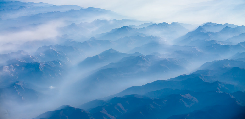
Misty and smoky Montana

The Water in Wisdom, MT is an Unworldly Blue (Part 3)

The Water in Wisdom, MT is an Unworldly Blue (Part 2)

Big Hole Battlefield (3)

Big Hole Battlefield (2)
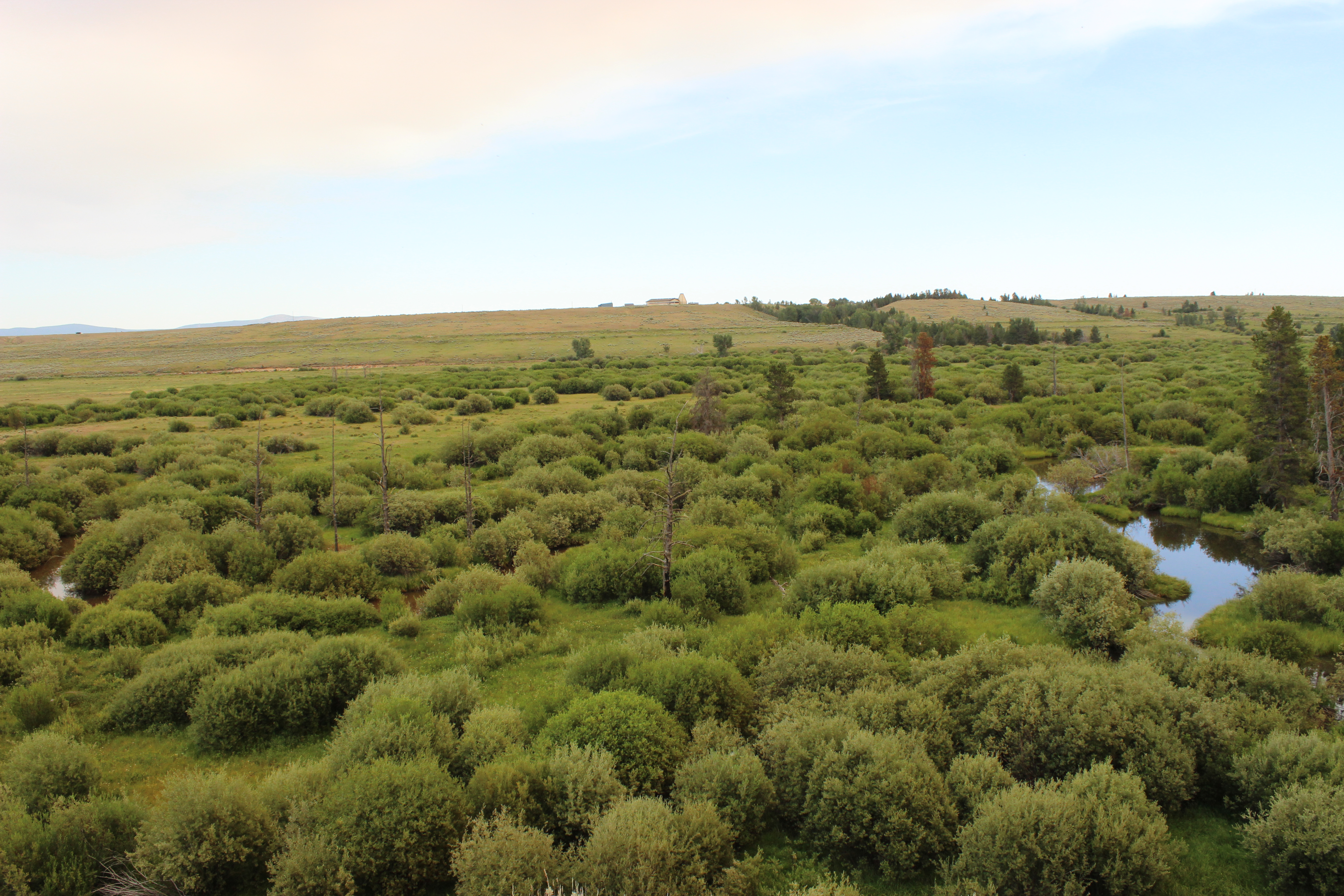
Big Hole Battlefield
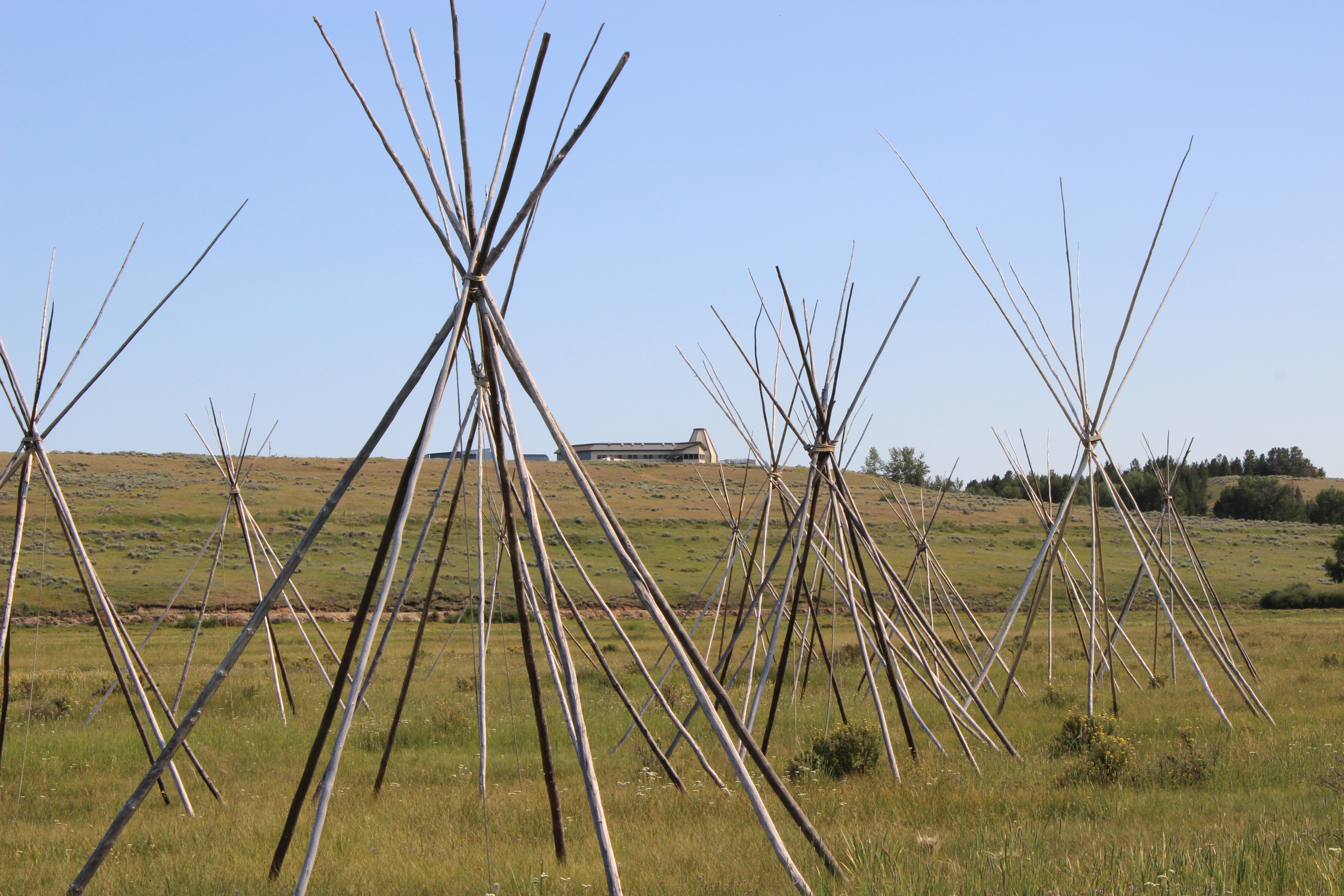
Big Hole Battlefield

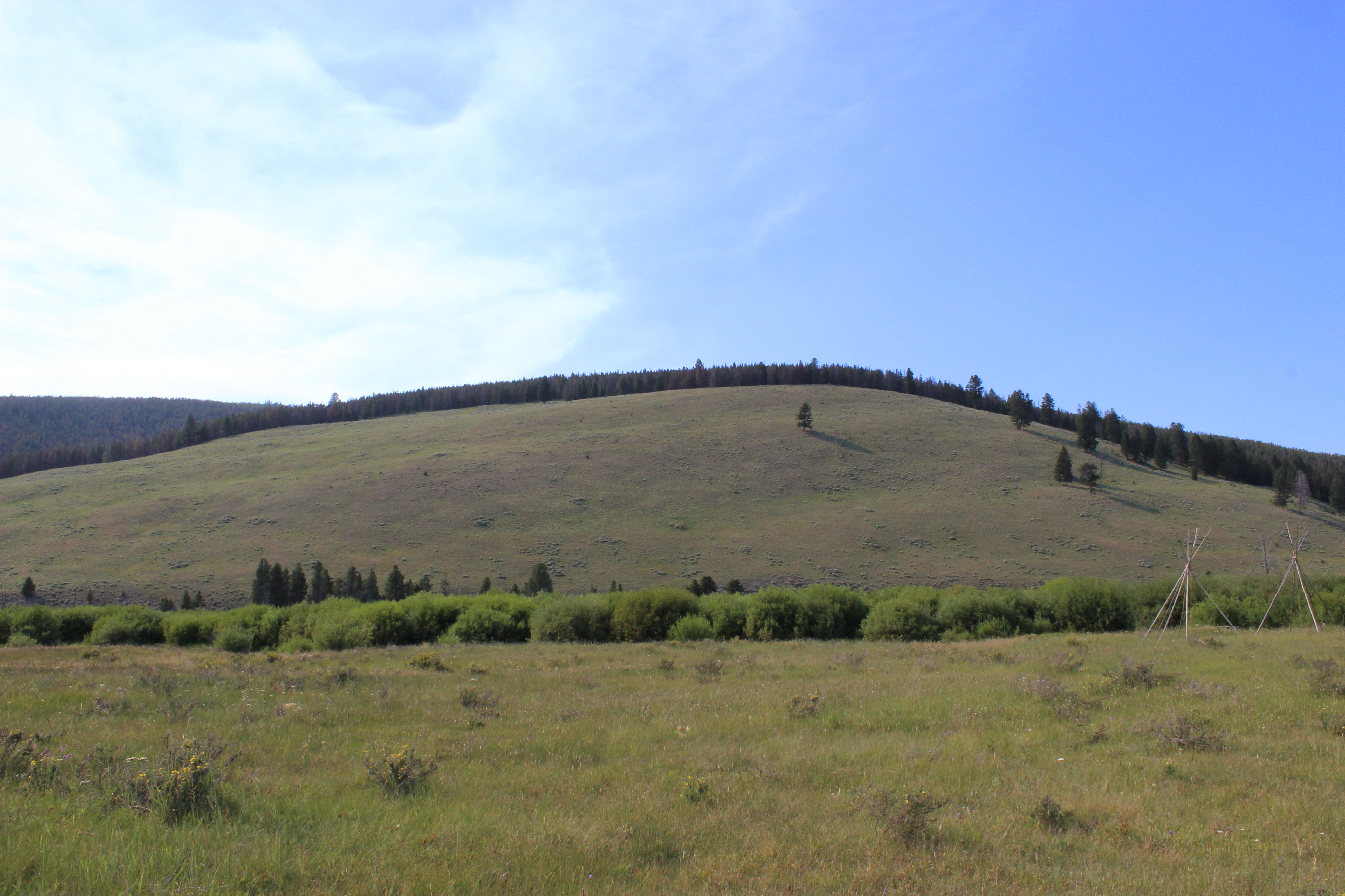
Big Hole Battlefield

Big Hole Battlefield
Big Hole Battlefield
Topographic Map of Mussigbrod Campground, Wisdom, MT, United States
Find elevation by address:

Places near Mussigbrod Campground, Wisdom, MT, United States:
Wooster Mountain
Bender Point
Battle Mountain
Pintler Campground And Picnic Area
Mcglaughlin Peak
Wisdom
Montana 43
Warren Peak
240 No Access Ln
1480 Steel Creek Rd
1 Common Ground Ln
1 Common Ground
West Goat Peak
Long Peak
Moose Meadows
Fish Peak
Pyramid Peak
Shaw Mountain
Queener Mountain
Rainbow Mountain
Recent Searches:
- Elevation of Corso Fratelli Cairoli, 35, Macerata MC, Italy
- Elevation of Tallevast Rd, Sarasota, FL, USA
- Elevation of 4th St E, Sonoma, CA, USA
- Elevation of Black Hollow Rd, Pennsdale, PA, USA
- Elevation of Oakland Ave, Williamsport, PA, USA
- Elevation of Pedrógão Grande, Portugal
- Elevation of Klee Dr, Martinsburg, WV, USA
- Elevation of Via Roma, Pieranica CR, Italy
- Elevation of Tavkvetili Mountain, Georgia
- Elevation of Hartfords Bluff Cir, Mt Pleasant, SC, USA