Elevation of Musgrove Rd, Williamsburg, OH, USA
Location: United States > Ohio > Clermont County >
Longitude: -84.030308
Latitude: 39.013953
Elevation: 273m / 896feet
Barometric Pressure: 98KPa
Elevation Map:
Satellite Map:
Related Photos:

Red-Necked Grebe

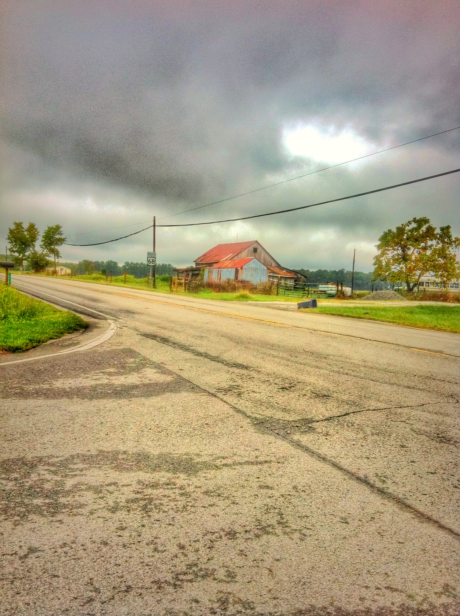
Up the crossing

Snow Bunting
Hartman Log Cabin

Raccoon GIF

Red-Necked Grebe
White Oak Valley.

OSPREY DIVES FOR FISH

TREE SWALLOWS

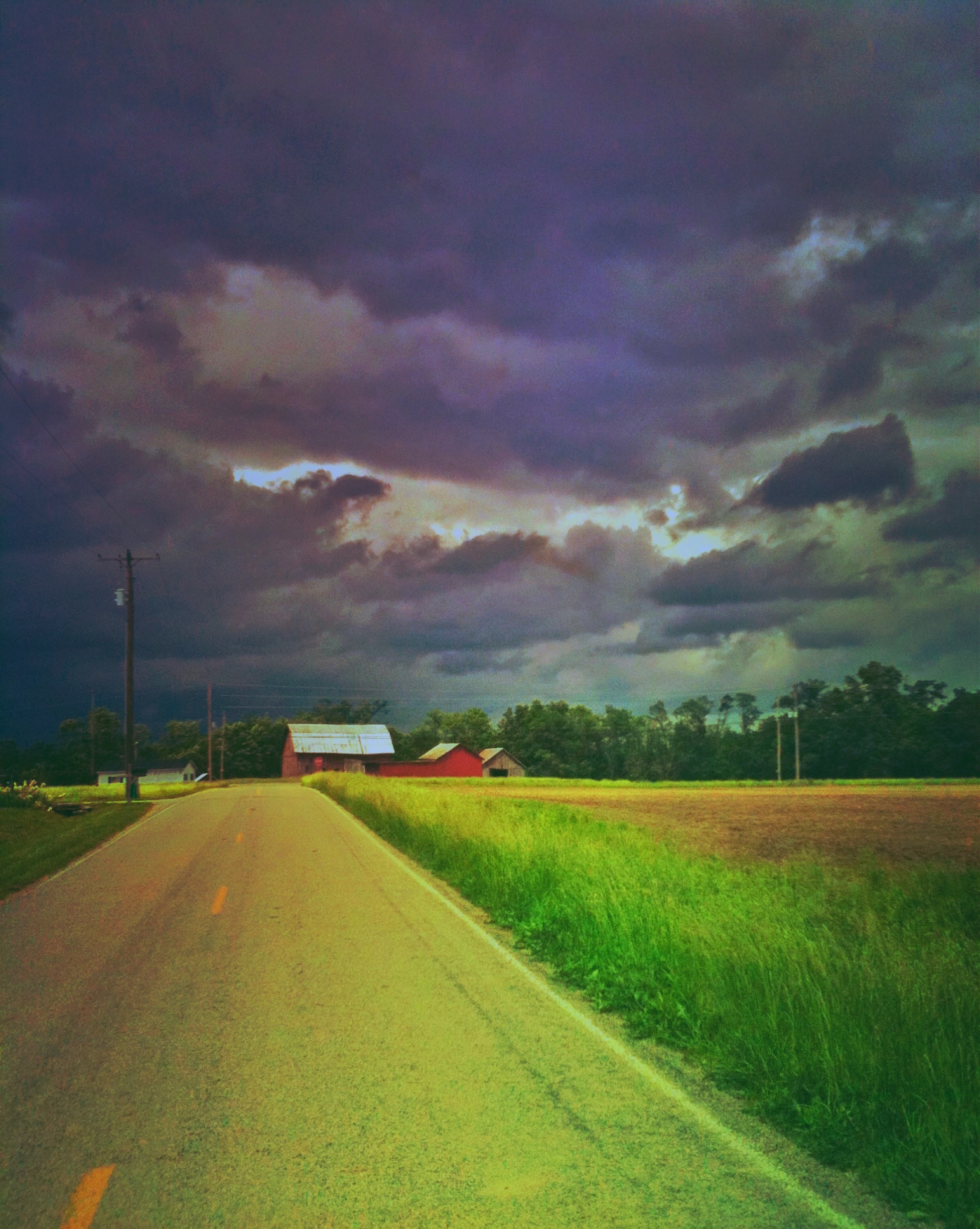
Another walk to this great view [HDR]
Bantam, Ohio

PURPLE SANDPIPER at EAST FORK STATE PARK, BANTAM, OHIO OCTOBER 26, 2013

BARRED OWL

SNOW GOOSE
Another walk to this great view

PRAIRIE WARBLER
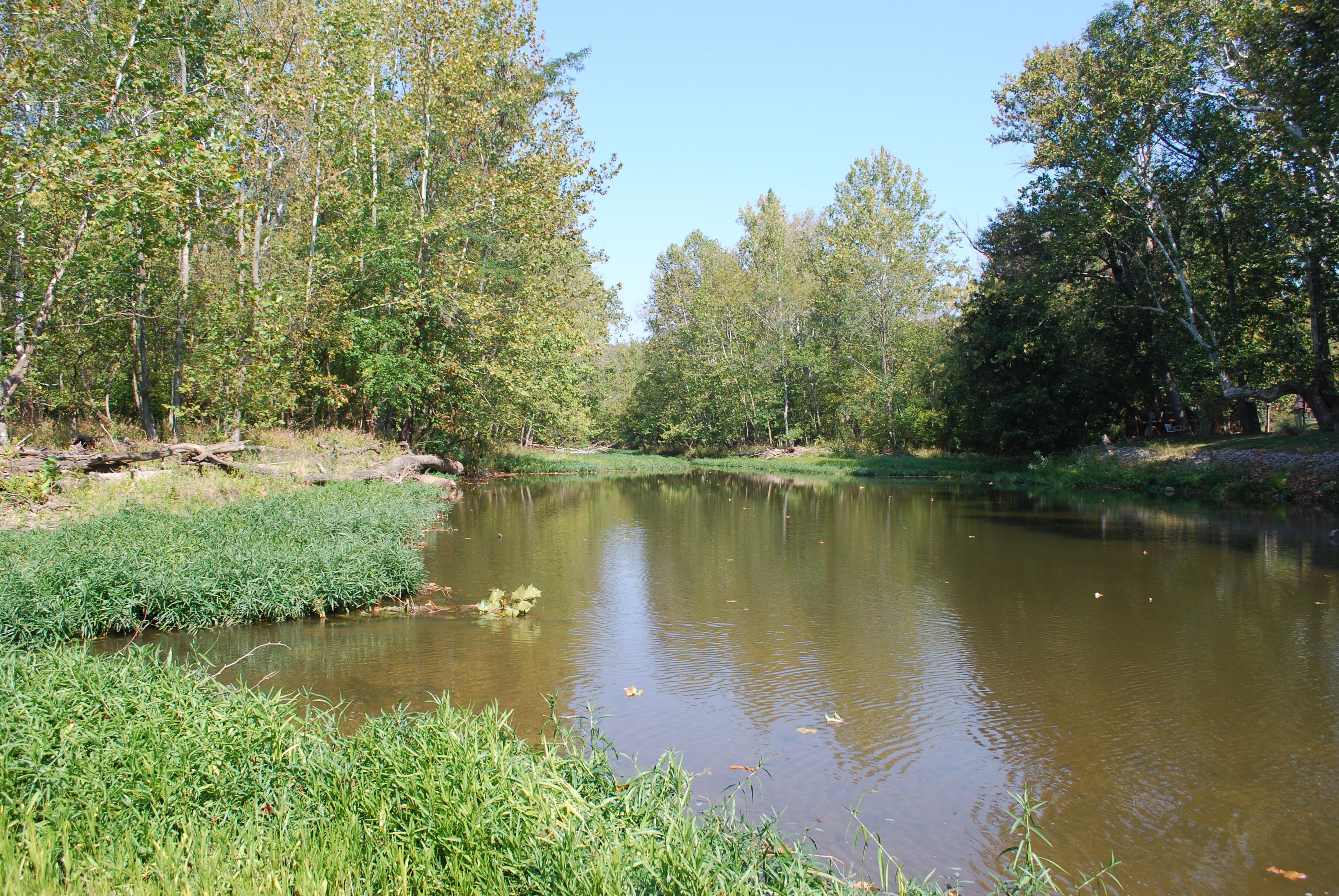
Wilson Nature Preserve 3
Wilson Nature Preserve
AMERICAN BALD EAGLES - 2 ADULTS

Wilson Nature Preserve 4

RING-BILLED GULL
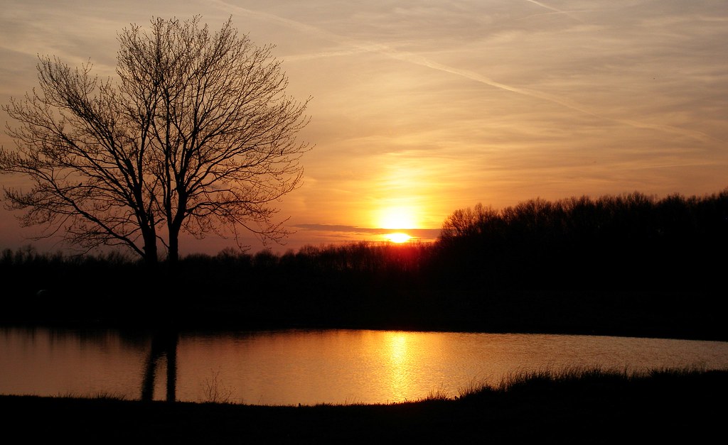
sunset 4913

Explored (10.06.2014)
IMG_1739.JPG
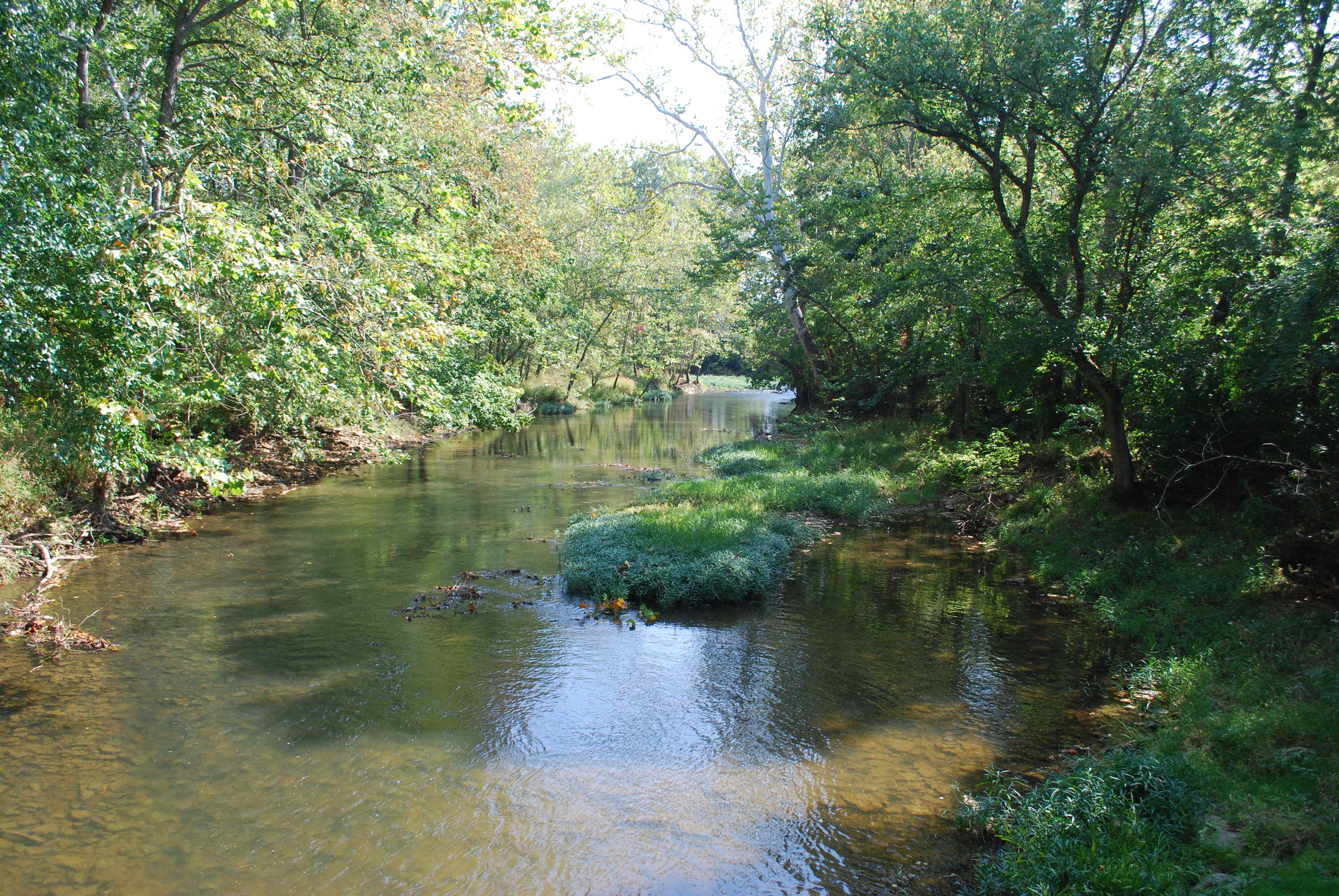
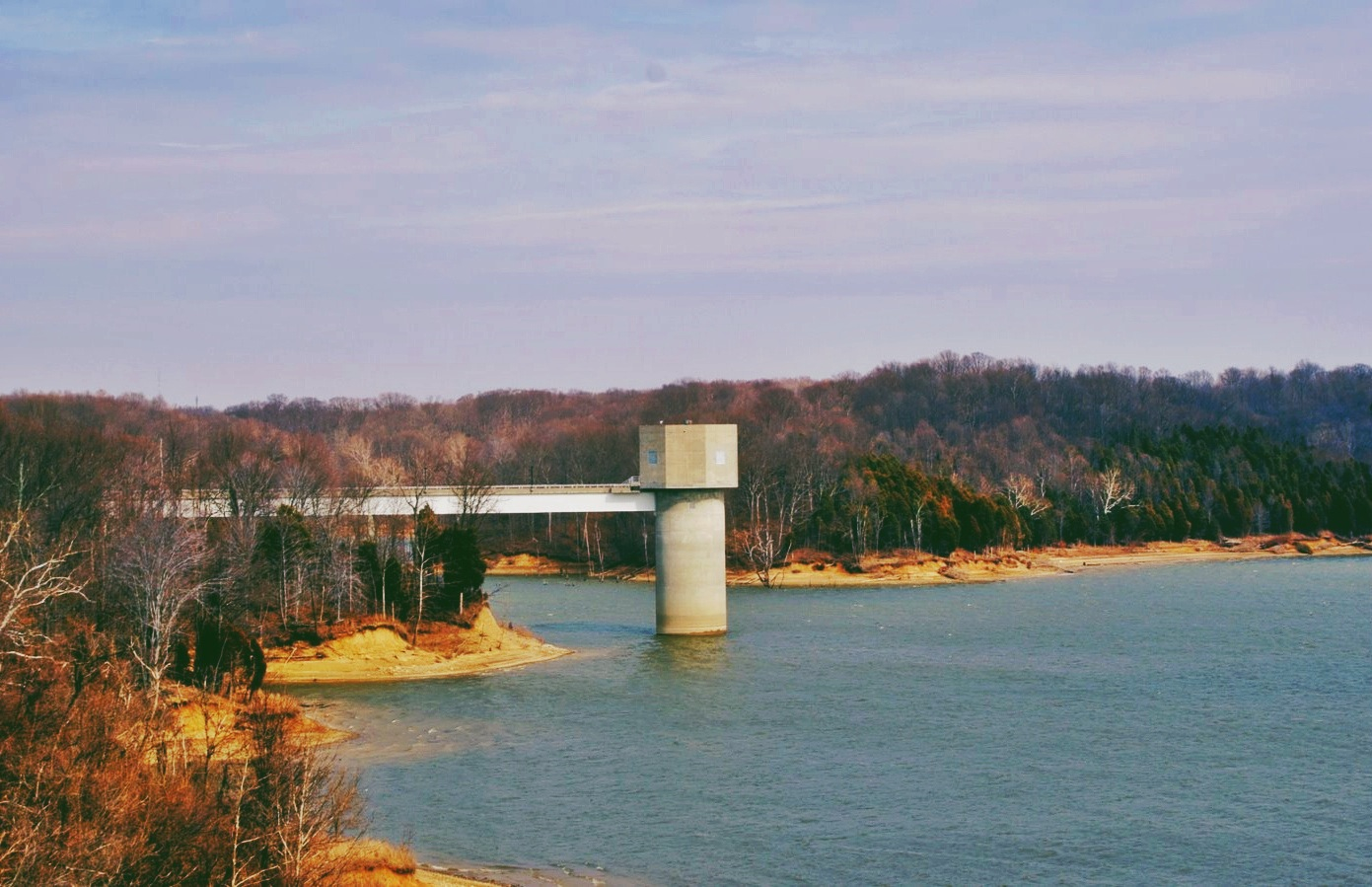
East Fork
Tree Line, 3-7-2013

IMG_1937.JPG
Sunset Flight.

Sunrise, 3-21-2014. EXPLORE,3-23-2014.
IMG_2596.JPG
IMG_2802.JPG
Here it comes!
IMG_1830.JPG

Morning Reflections
IMG_6053.JPG

IMG_6244.JPG

Fog Mirror
IMG_6054.JPG
8-22-14, Ulrey Run. EXPLORE 11-16-2014
#nature #ohio #lake
East Fork State Park

IMG_4761.JPG
Topographic Map of Musgrove Rd, Williamsburg, OH, USA
Find elevation by address:

Places near Musgrove Rd, Williamsburg, OH, USA:
Bethel Cemetery
Bethel
Tate Township
Bethel, OH, USA
OH-, Bethel, OH, USA
Feesburg-Poetown Rd, Hamersville, OH, USA
1975 Oh-133
OH-, Bethel, OH, USA
Bees Run Rd, Moscow, OH, USA
1915 W Hall Rd
OH-, New Richmond, OH, USA
Monroe Township
OH-, New Richmond, OH, USA
8 Mynah Dr
Washington Township
1659 Oh-232
2831 Oh-132
2056 Big Indian Rd
2813 Oh-132
2058 Big Indian Rd
Recent Searches:
- Elevation of Corso Fratelli Cairoli, 35, Macerata MC, Italy
- Elevation of Tallevast Rd, Sarasota, FL, USA
- Elevation of 4th St E, Sonoma, CA, USA
- Elevation of Black Hollow Rd, Pennsdale, PA, USA
- Elevation of Oakland Ave, Williamsport, PA, USA
- Elevation of Pedrógão Grande, Portugal
- Elevation of Klee Dr, Martinsburg, WV, USA
- Elevation of Via Roma, Pieranica CR, Italy
- Elevation of Tavkvetili Mountain, Georgia
- Elevation of Hartfords Bluff Cir, Mt Pleasant, SC, USA