Elevation map of Murweh Shire, Murweh, QLD, Australia
Location: Australia > Queensland >
Longitude: 146.561647
Latitude: -26.201498
Elevation: 388m / 1273feet
Barometric Pressure: 97KPa
Elevation Map:
Satellite Map:
Related Photos:

Bridge at R Hourne's property - Queensland

Ward waterhole - Charleville

Angelala Weir - Charleville

Flying Doctor Base, Charleville
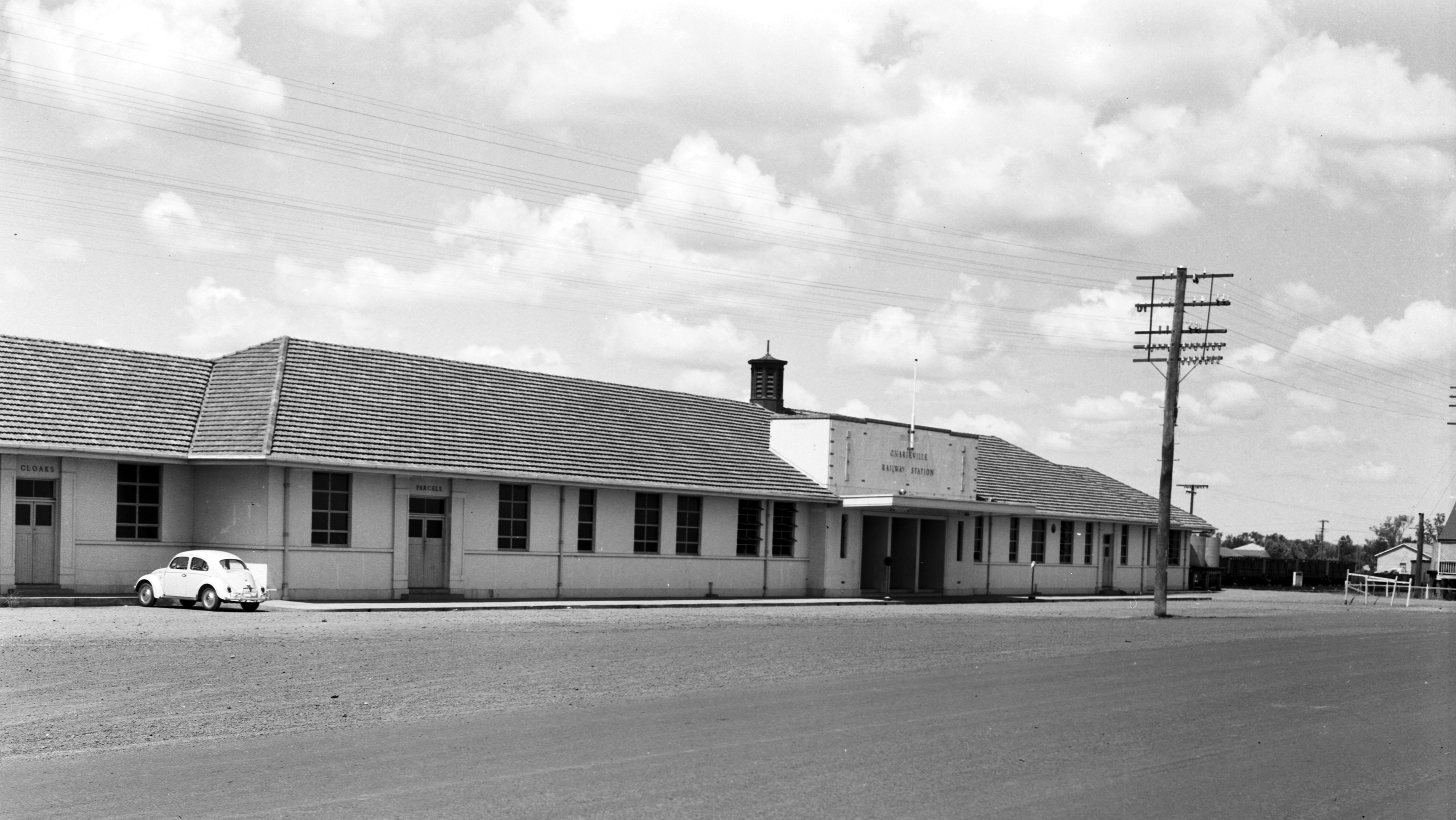
Charleville Railway Station
Town of Charleville

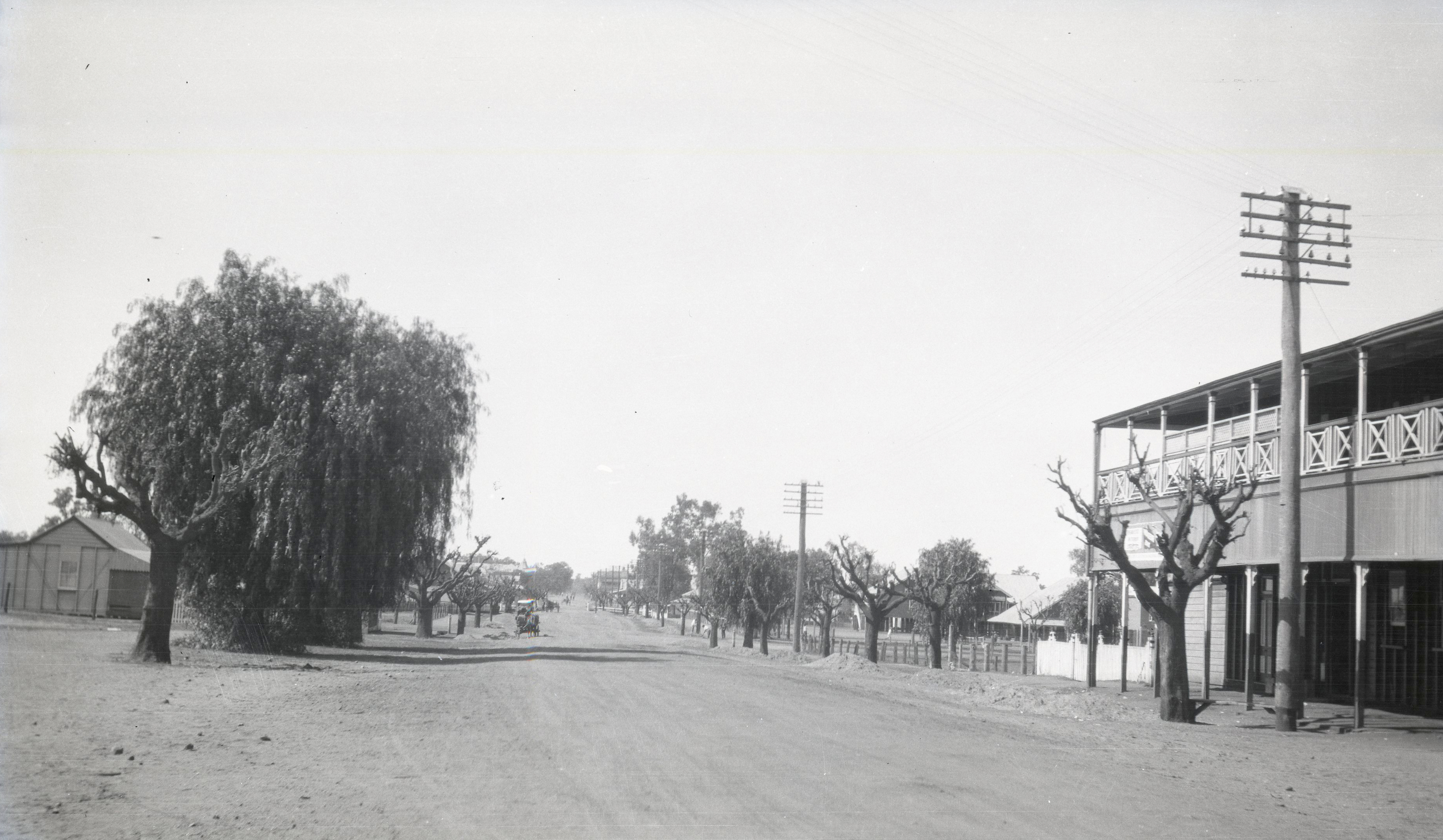
Charleville c 1920-1939
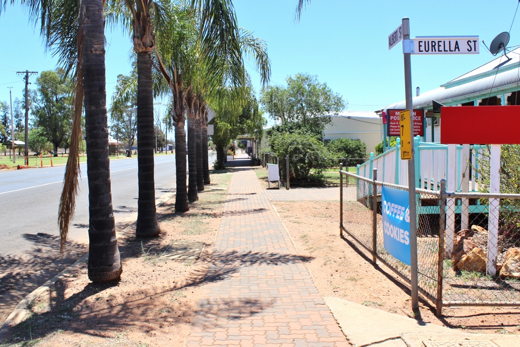
2017. Albert Street, Morven, view from corner of Eurella and Albert Streets.

Bridge over Warrego River, Charleville, January 1955

2017. Old watertower, view from Warrego Highway, Morven.

Diamantina Developmental, Charleville - Quilpie (1979)

Diamantina Developmental, Charleville - Quilpie (1979)

Murweh Shire - Charleville (1979)

Diamantina Developmental, Charleville - Quilpie (1979)

2017. Sign, entrance to Morven, Warrego Highway.

2017. By the Warrego Highway, Morven.
Topographic Map of Murweh Shire, Murweh, QLD, Australia
Find elevation by address:

Places in Murweh Shire, Murweh, QLD, Australia:
Recent Searches:
- Elevation of Corso Fratelli Cairoli, 35, Macerata MC, Italy
- Elevation of Tallevast Rd, Sarasota, FL, USA
- Elevation of 4th St E, Sonoma, CA, USA
- Elevation of Black Hollow Rd, Pennsdale, PA, USA
- Elevation of Oakland Ave, Williamsport, PA, USA
- Elevation of Pedrógão Grande, Portugal
- Elevation of Klee Dr, Martinsburg, WV, USA
- Elevation of Via Roma, Pieranica CR, Italy
- Elevation of Tavkvetili Mountain, Georgia
- Elevation of Hartfords Bluff Cir, Mt Pleasant, SC, USA