Elevation of Mururata, Bolivia
Location: Bolivia > La Paz Department >
Longitude: -67.8275
Latitude: -16.530556
Elevation: 4801m / 15751feet
Barometric Pressure: 55KPa
Elevation Map:
Satellite Map:
Related Photos:
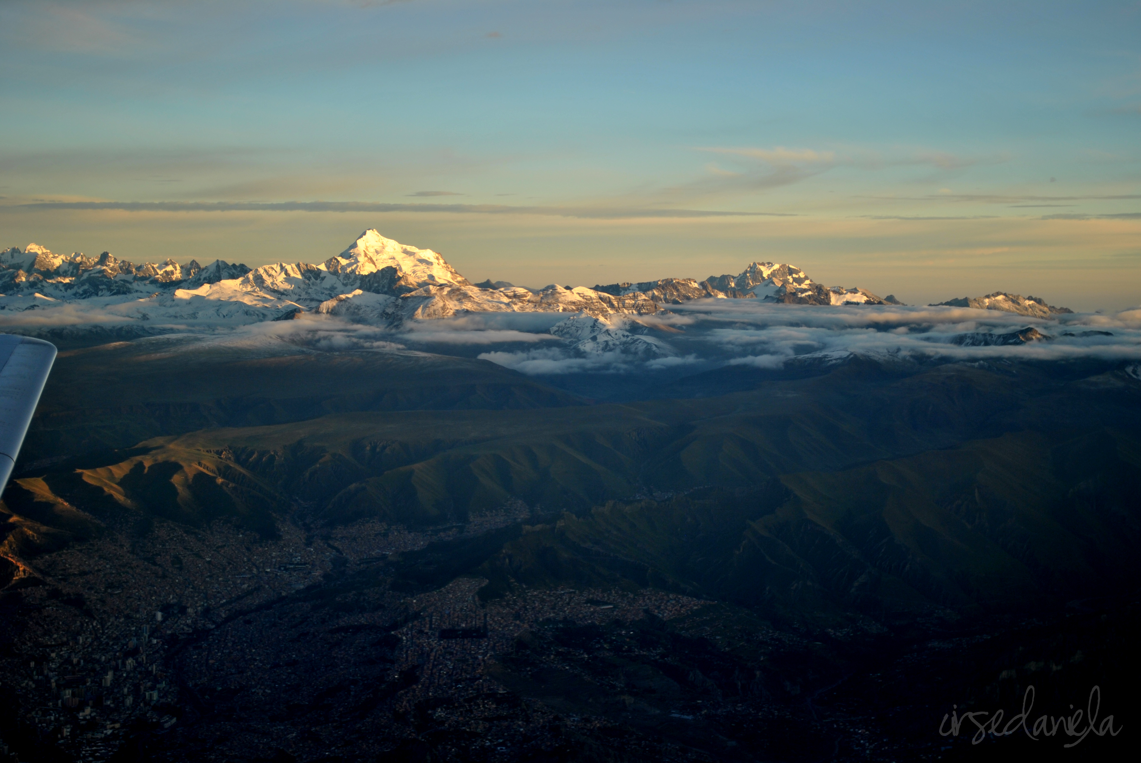
morning rise
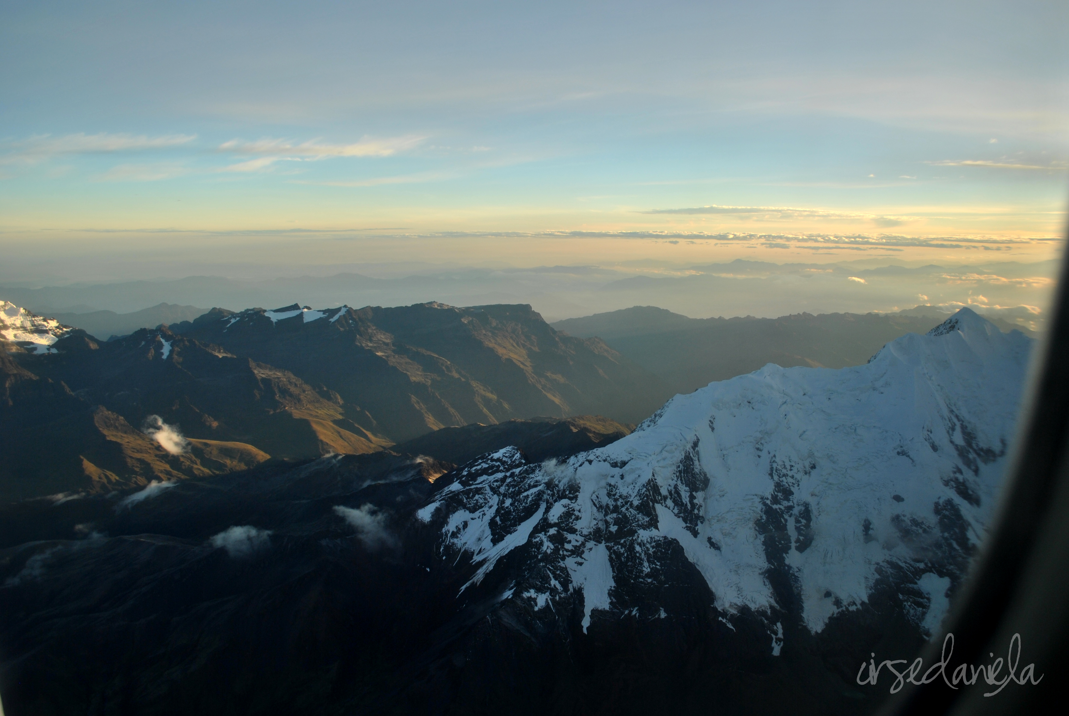
Illimani side

Zongo Valley, Bolivia.

Zongo Valley, Bolivia.
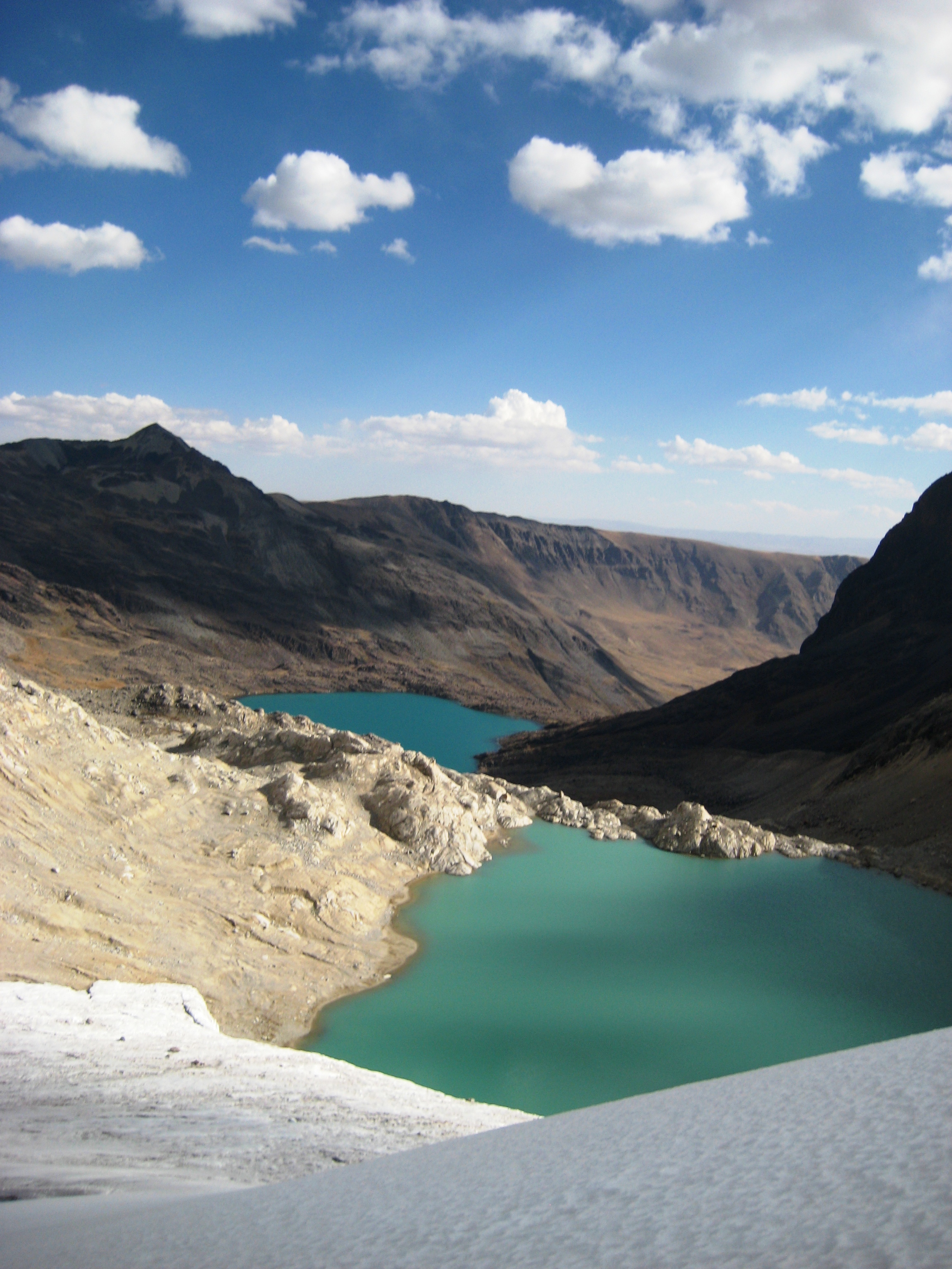
Colorful Lakes

Zongo Valley, Bolivia.

Zongo Valley, Bolivia.
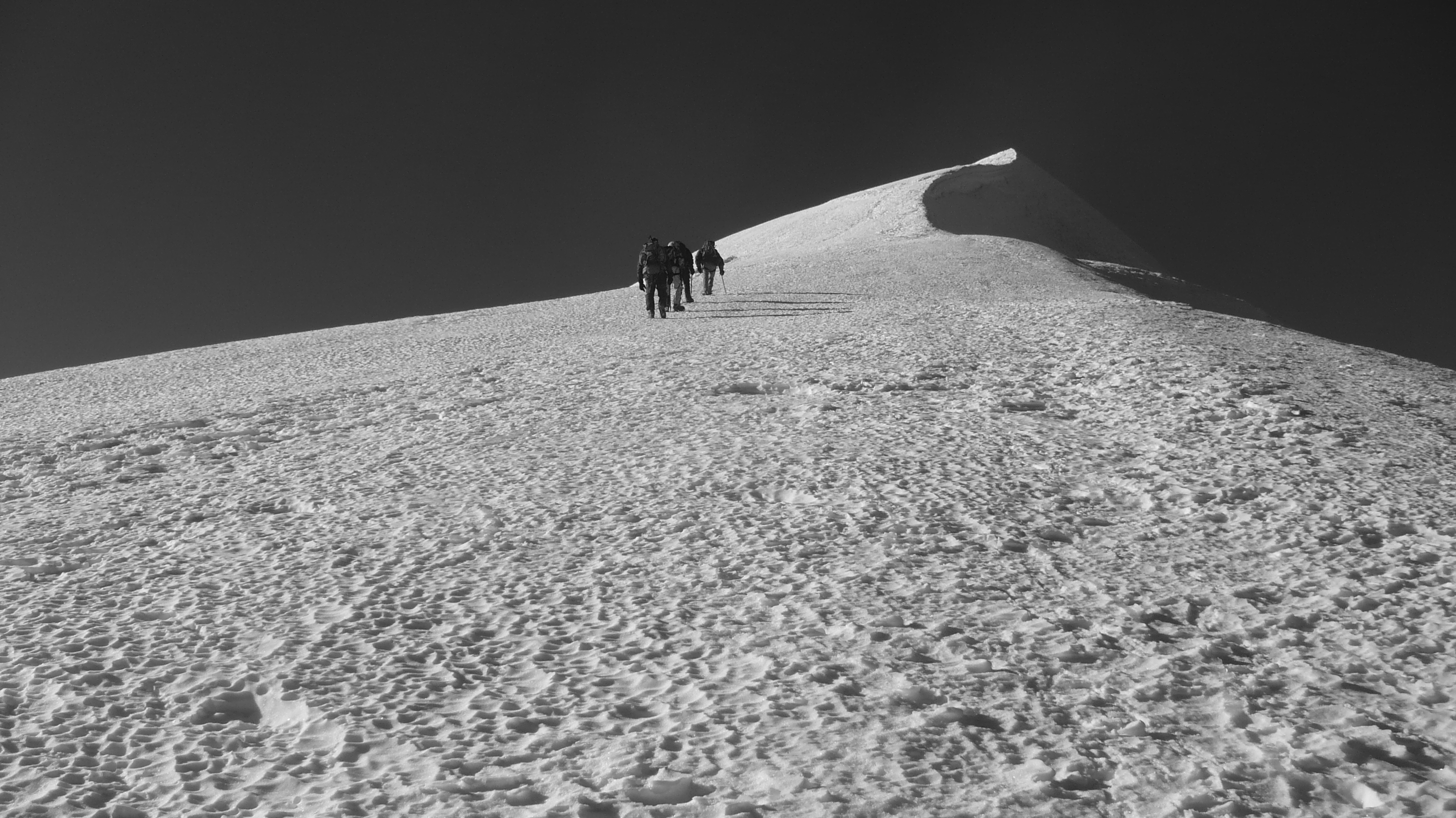
Climbing Illimani

Dömi

BOLIVIA - UnaLinea 2014 - Ph. A.Rosso
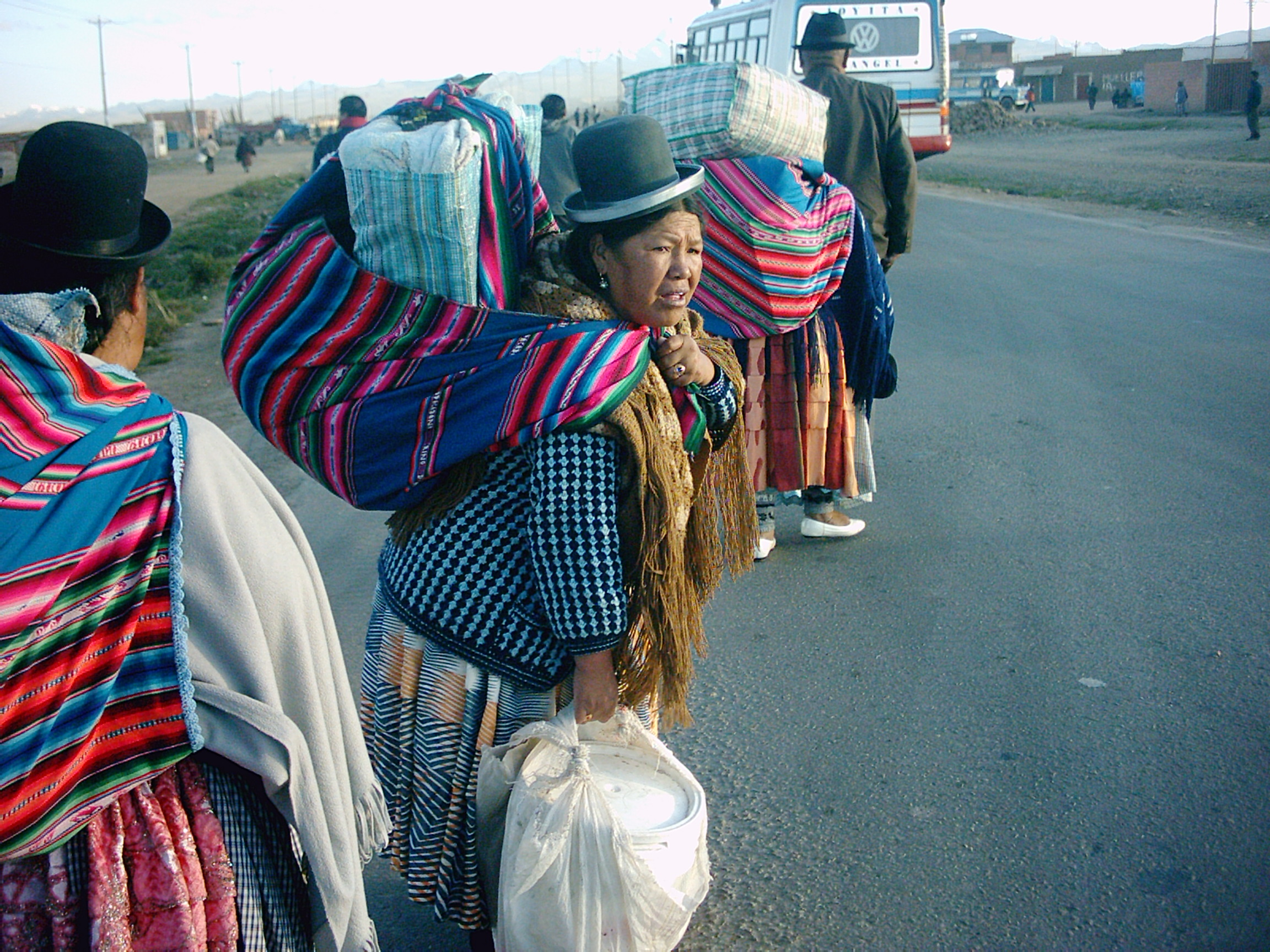
indigenas en la calle
Topographic Map of Mururata, Bolivia
Find elevation by address:

Places near Mururata, Bolivia:
Illimani
Mik'aya
Pedro Domingo Murillo Province
Velo De La Novia
Chuspipata
Cotapata National Park And Natural Integrated Management Area
Macrodistrito Sur
Ave Jose Aguirre 490
Cota Cota
Death Road
Nº 586, Calle 15 5
Meseta De Achumani
Avenida Jorge Muñoz Reyes
Agencia Boliviana De Energia Nuclear - Aben
San Miguel
Claudio Aliaga
Casa Grande Hotel
Casa Grande Suites
Calle 16 8052
Avenida De La Fuerza Naval
Recent Searches:
- Elevation of Corso Fratelli Cairoli, 35, Macerata MC, Italy
- Elevation of Tallevast Rd, Sarasota, FL, USA
- Elevation of 4th St E, Sonoma, CA, USA
- Elevation of Black Hollow Rd, Pennsdale, PA, USA
- Elevation of Oakland Ave, Williamsport, PA, USA
- Elevation of Pedrógão Grande, Portugal
- Elevation of Klee Dr, Martinsburg, WV, USA
- Elevation of Via Roma, Pieranica CR, Italy
- Elevation of Tavkvetili Mountain, Georgia
- Elevation of Hartfords Bluff Cir, Mt Pleasant, SC, USA