Elevation of Murdock, NE, USA
Location: United States > Nebraska > Cass County >
Longitude: -96.258836
Latitude: 40.9302524
Elevation: -10000m / -32808feet
Barometric Pressure: 295KPa
Elevation Map:
Satellite Map:
Related Photos:

Habu Pressure Suit

Split Window Beetle - Omaha Volkswagen Club Show and Shine

Cellar Jars

The Israel Beetison House

The gang's (almost) all here!

Strategically placed sun @ Strategic Space & Air Museum

Platte River Overlook

Holy Family Shrine

silo system status

Israel Beetison mansion

Black Bear, Hungry Bear!

Summer Evenings

Downtown Christmas

inside or out
I-80

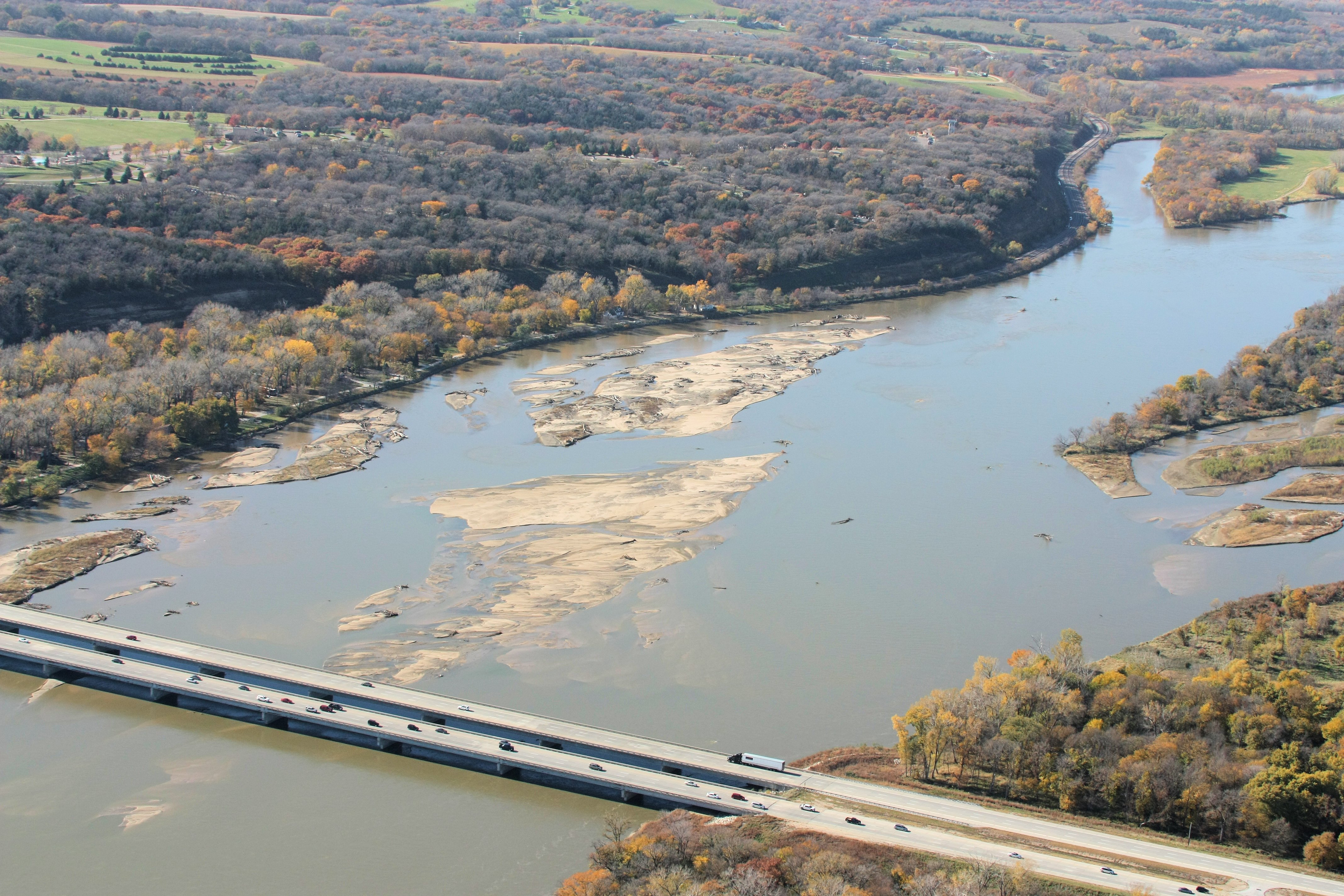
I-80 Platte River Crossing

Fire and Ice

Posted Thud

Christmas tree downtown

Ground view GaGa

Frozen Stream
mighty death will find me

A break in the rain
Mahoney Woods

I work to live. Not live to work. I had a lovely time breaking away "early" to hit the trails with my nephews. This was on our drive out to the Platte River.

Rivè Plat #nebraska #platriver #I80 #travel #midwest

Peaceful giants

Pearl Crescents (Phyciodes tharos) almost mating R4250 Omaha, Nebraska PFN

Alone in my little world

Louisville, Jul 25, 2008

North American White Buffalo (2)

Sunrise Pic over Platte River

Mahoney State Park & Safari

2009-02-15-109

2009-02-15-099

Getting Closer
platte river falls 3

RI038133.JPG

2009-02-15-118

2009-02-15-120

2009-02-15-106
Topographic Map of Murdock, NE, USA
Find elevation by address:

Places near Murdock, NE, USA:
358th Street
7614 Ne-50
Center
Elmwood, NE, USA
Cass County
I St, Weeping Water, NE, USA
Weeping Water
Nehawka
Nehawka
Nehawka
Nehawka
Nehawka
Nehawka
Nehawka
Nehawka
Nehawka
Nehawka
Nehawka
Nehawka
Nehawka
Recent Searches:
- Elevation of Corso Fratelli Cairoli, 35, Macerata MC, Italy
- Elevation of Tallevast Rd, Sarasota, FL, USA
- Elevation of 4th St E, Sonoma, CA, USA
- Elevation of Black Hollow Rd, Pennsdale, PA, USA
- Elevation of Oakland Ave, Williamsport, PA, USA
- Elevation of Pedrógão Grande, Portugal
- Elevation of Klee Dr, Martinsburg, WV, USA
- Elevation of Via Roma, Pieranica CR, Italy
- Elevation of Tavkvetili Mountain, Georgia
- Elevation of Hartfords Bluff Cir, Mt Pleasant, SC, USA