Elevation of Muramba, Burundi
Location: Burundi > Muyinga > Buhinvuza >
Longitude: 30.3594043
Latitude: -2.9351936
Elevation: 1439m / 4721feet
Barometric Pressure: 85KPa
Elevation Map:
Satellite Map:
Related Photos:
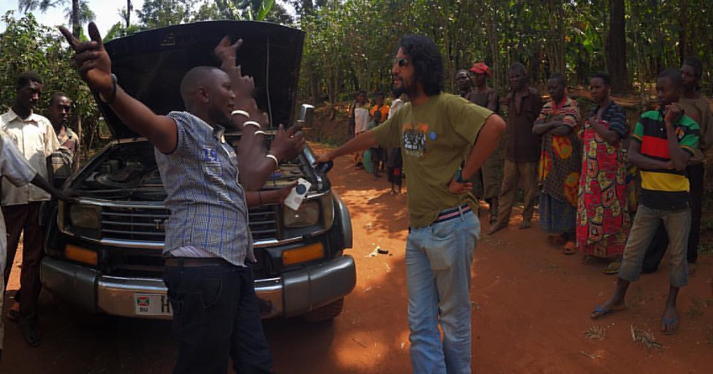
Just one more Burundi breakdown ...or another opportunity for an impromptu community meeting! #burundi #muyinga
Topographic Map of Muramba, Burundi
Find elevation by address:

Places near Muramba, Burundi:
Buhinvuza
Cankuzo
Cankuzo
Cankuzo
Bugenyuzi
Burundi
Kibondo
Muramvya
Kibira Park Lodge
Bugarama
Mumigunga
Nyarugusu Refugee Camp Kigoma
Recent Searches:
- Elevation of Corso Fratelli Cairoli, 35, Macerata MC, Italy
- Elevation of Tallevast Rd, Sarasota, FL, USA
- Elevation of 4th St E, Sonoma, CA, USA
- Elevation of Black Hollow Rd, Pennsdale, PA, USA
- Elevation of Oakland Ave, Williamsport, PA, USA
- Elevation of Pedrógão Grande, Portugal
- Elevation of Klee Dr, Martinsburg, WV, USA
- Elevation of Via Roma, Pieranica CR, Italy
- Elevation of Tavkvetili Mountain, Georgia
- Elevation of Hartfords Bluff Cir, Mt Pleasant, SC, USA