Elevation of Mullica, NJ, USA
Location: United States > New Jersey > Atlantic County >
Longitude: -74.663464
Latitude: 39.5907851
Elevation: 26m / 85feet
Barometric Pressure: 101KPa
Elevation Map:
Satellite Map:
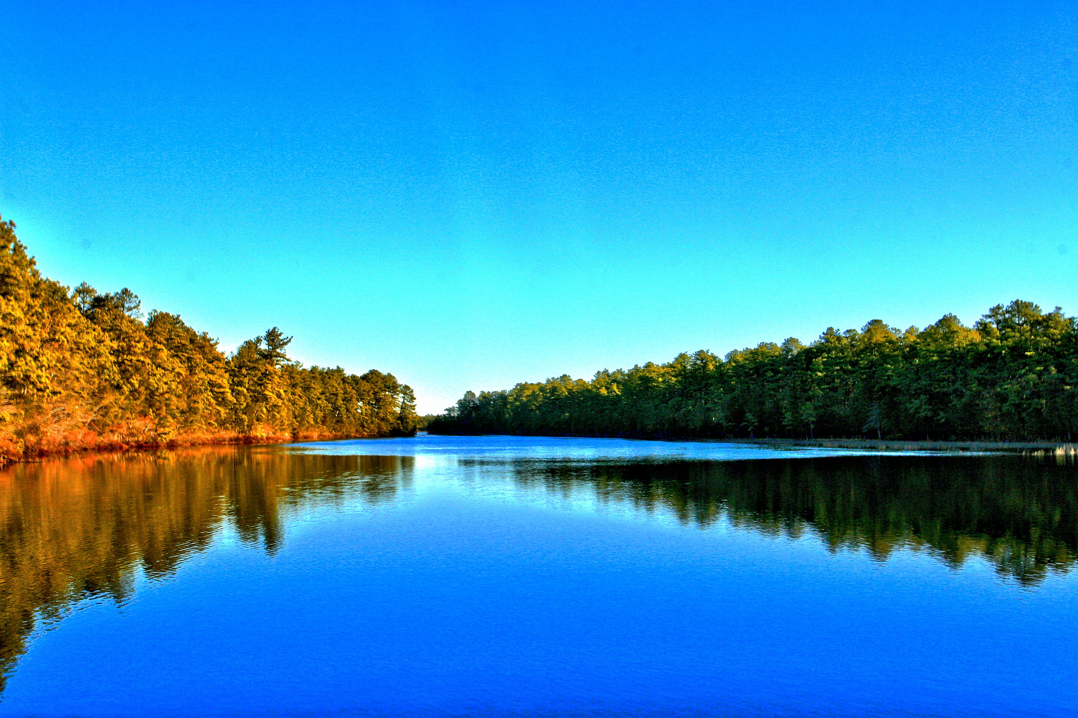
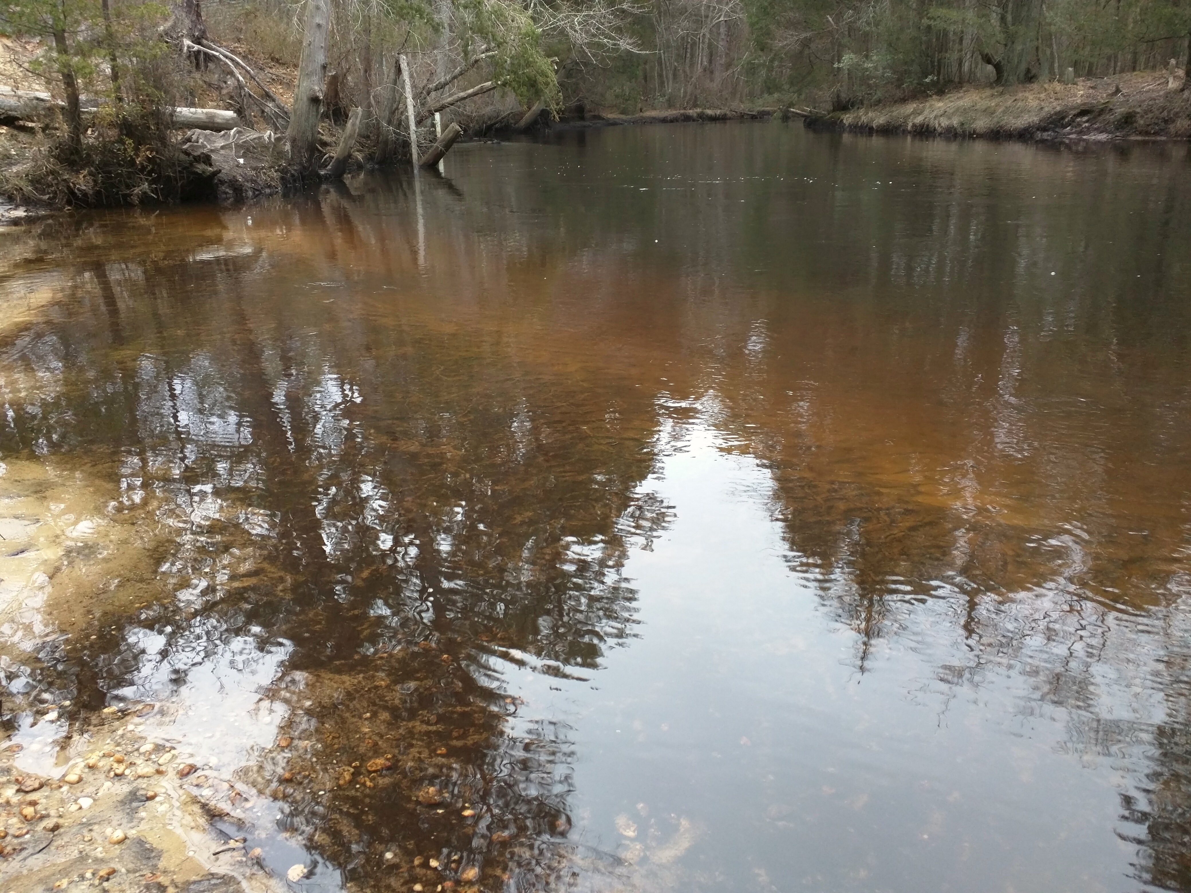
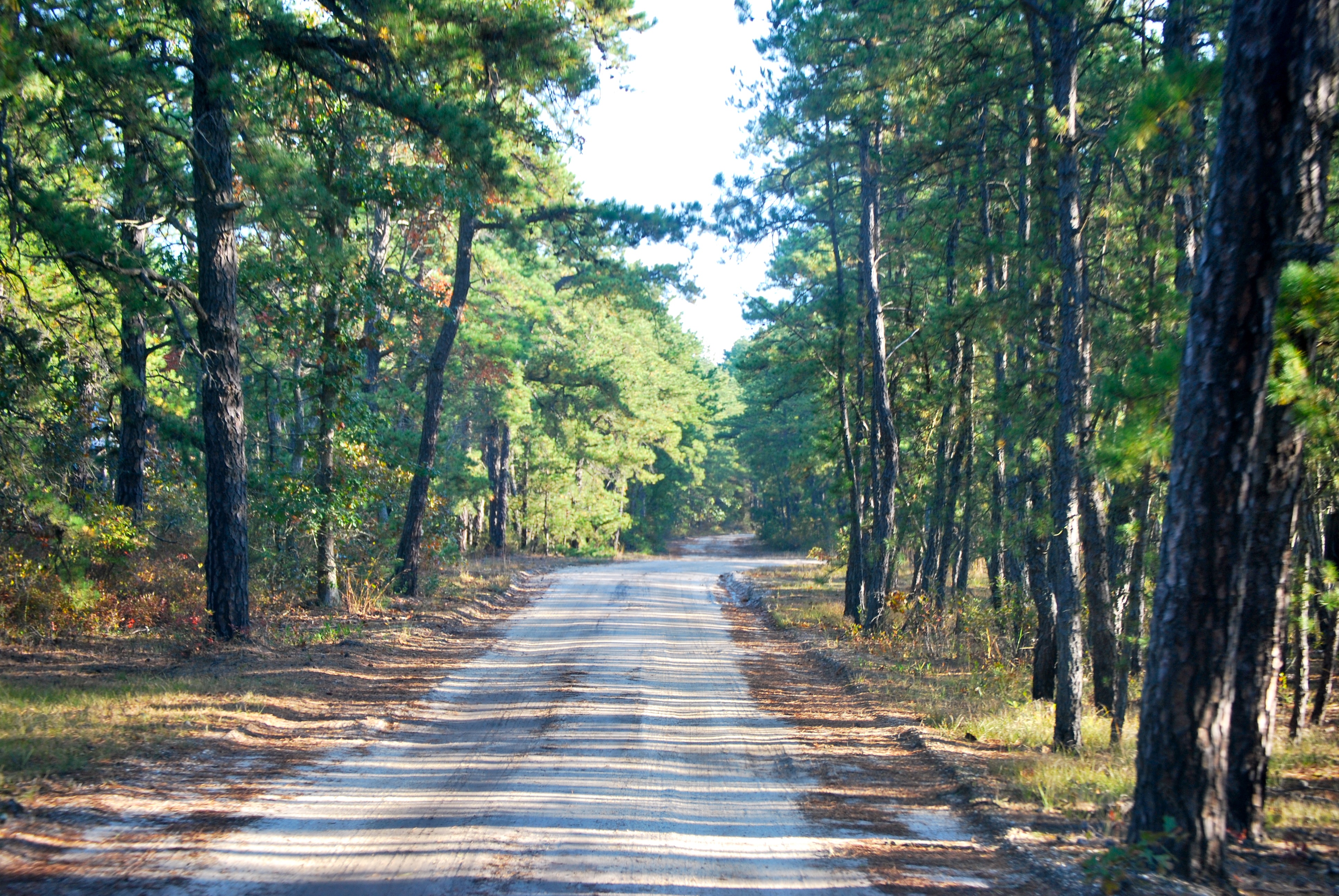
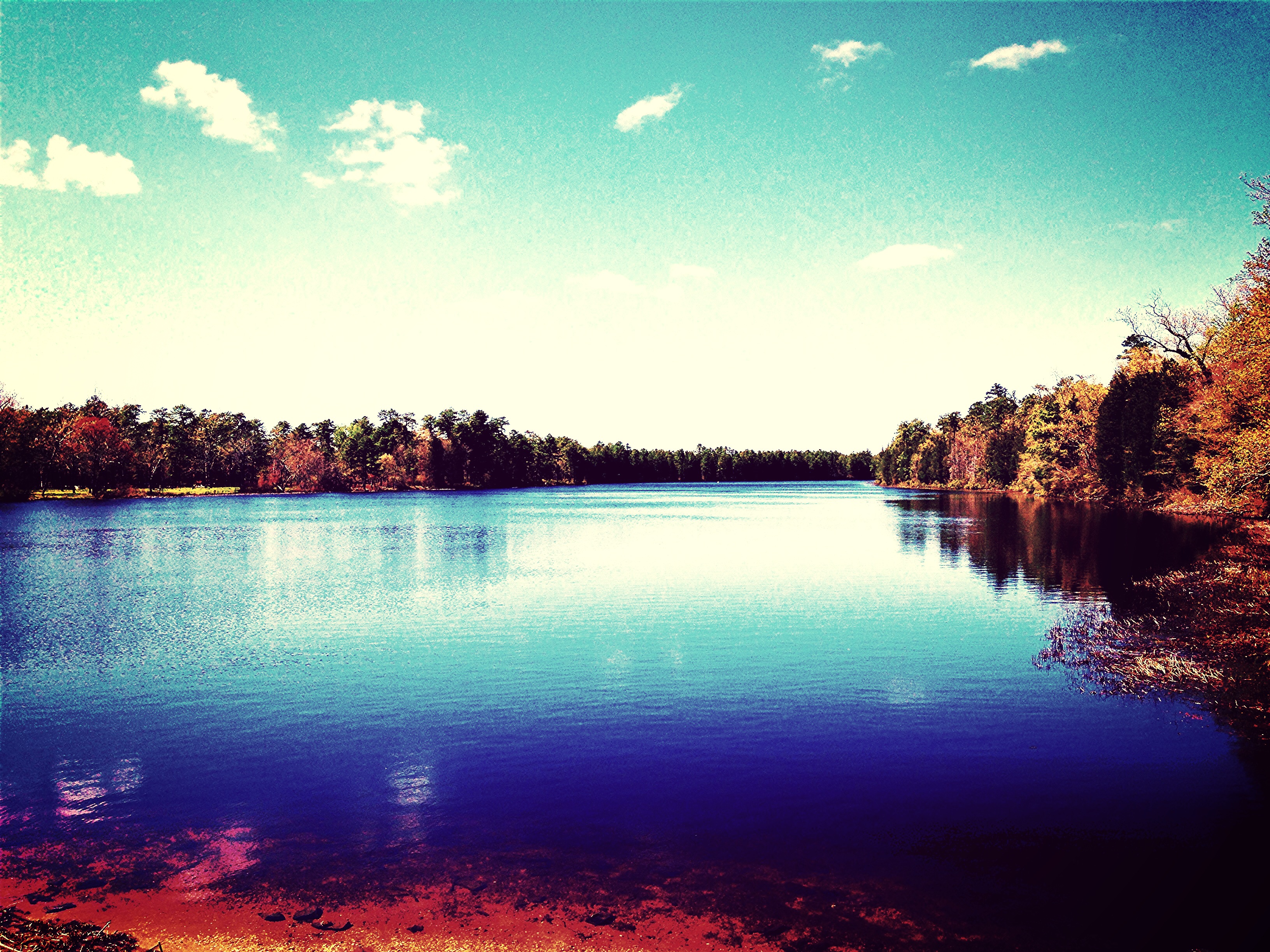
Related Photos:
From Here To Eternity

Sittin' At The Dock Of The Bay
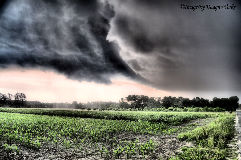
The Storm
Golden Sunset

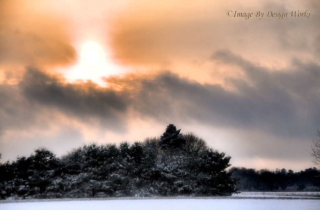
Snow Covered Tree at Sunset
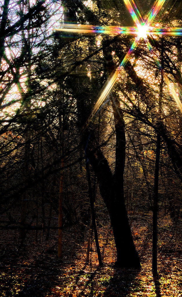
Shining Through
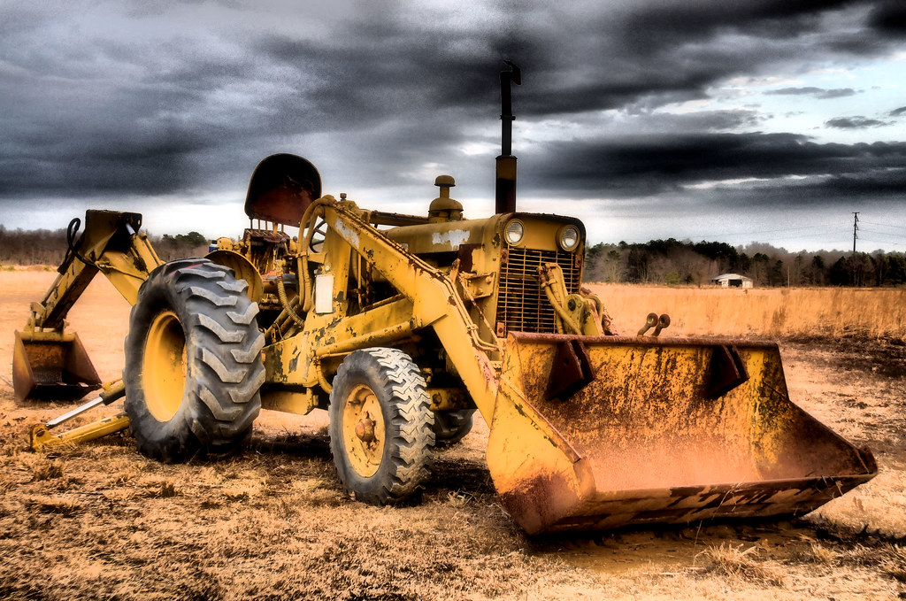
Vintage Military Tractor
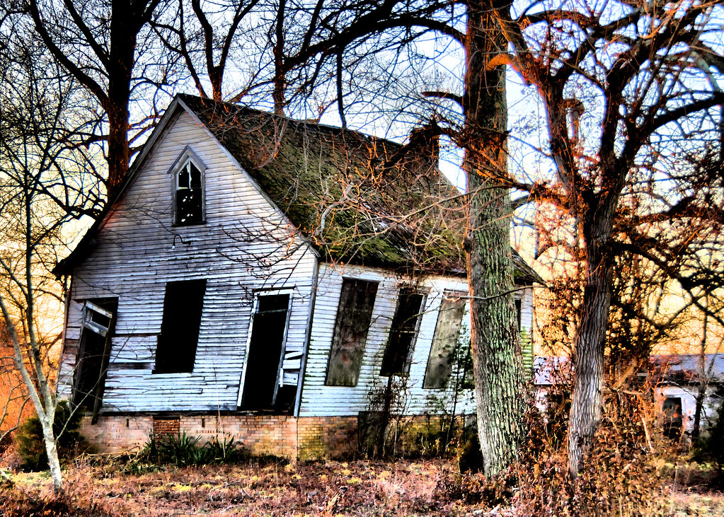
Schoolhouse on a Tilt
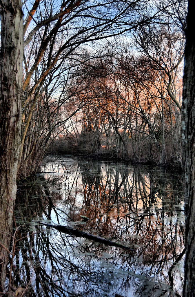
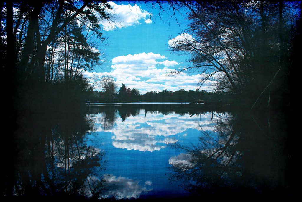
The Pond's Reflection...

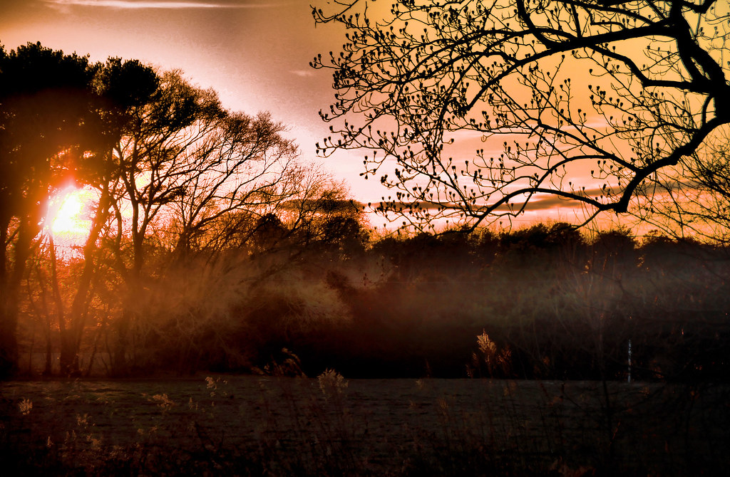
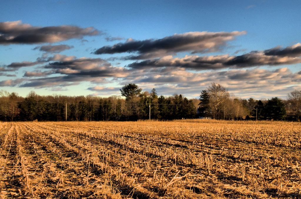
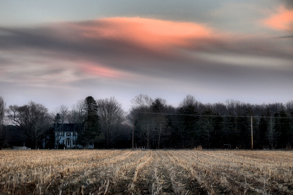
Farm Field Sunset
Out of Season
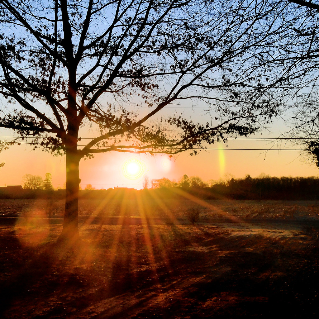
Morning Rays
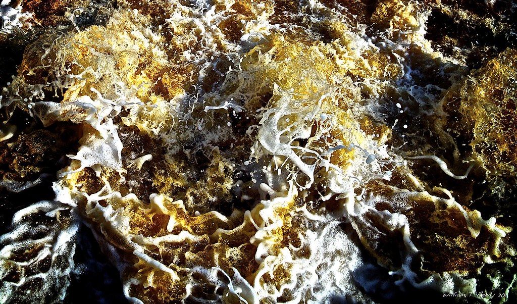
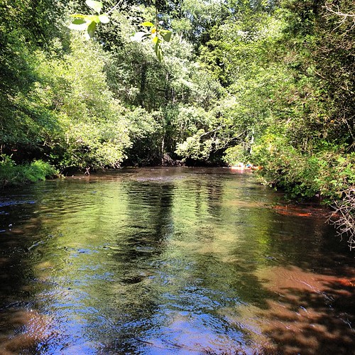
Water #3
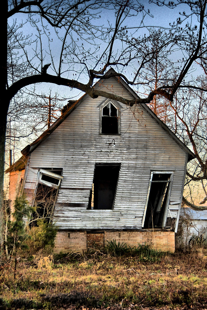
Crooked Old Schoolhouse
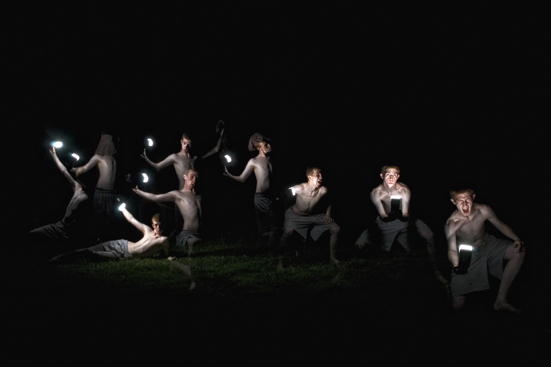
Several Seans
Sunset After a Snow Fall

Farmer's {Grand} Daughter
Street view, Midnight
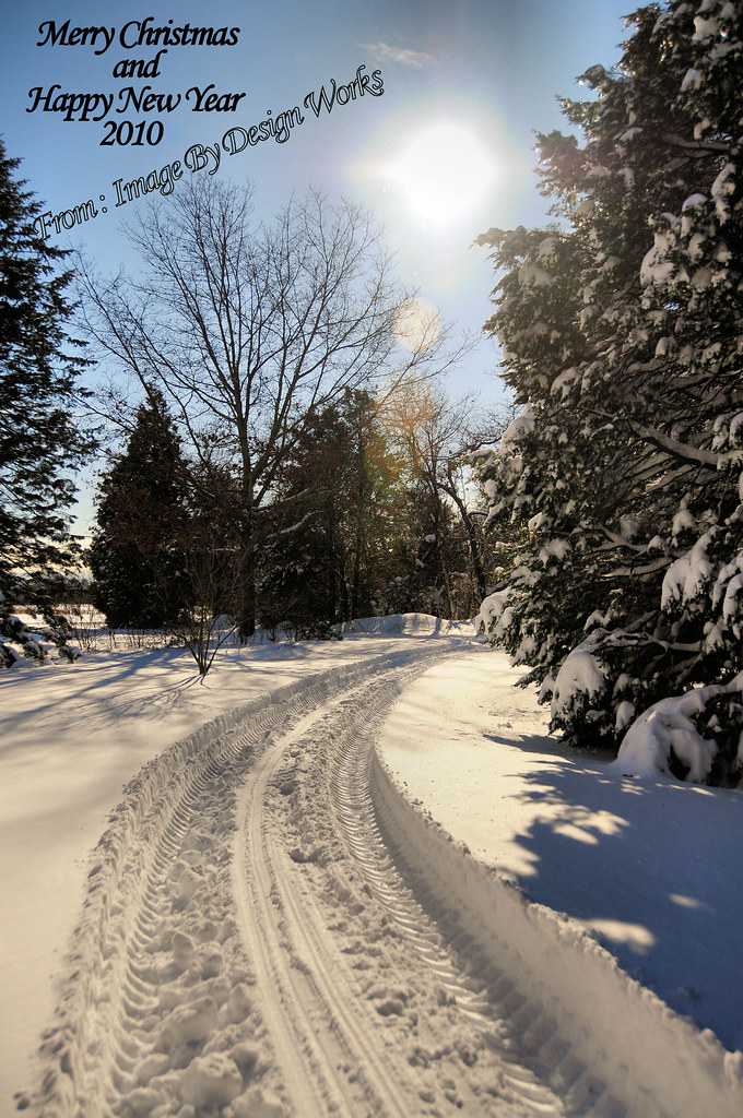
Merry Christmas
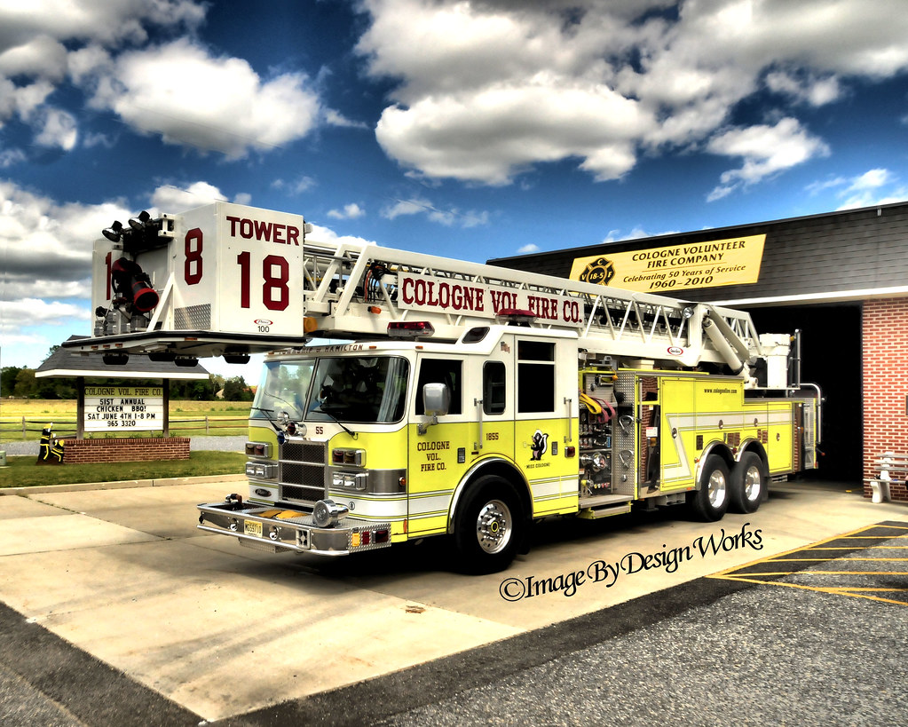
TOWER 18-5 LADDER TRUCK

Sunset over the farm
dawning of the day
Jersey Farm
Fall Morning

Rover's Gravesite
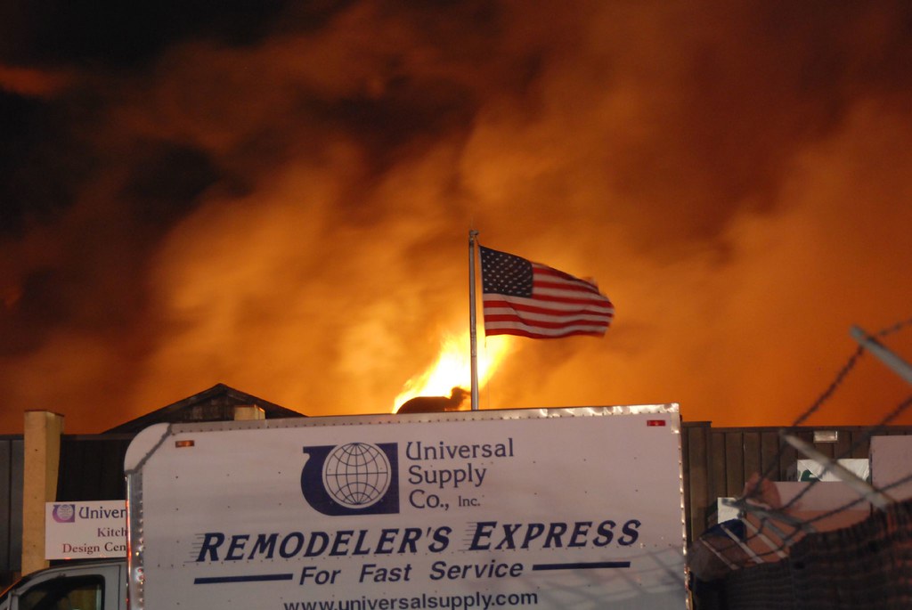
Life In The Dead Zone
A Winter's Day...
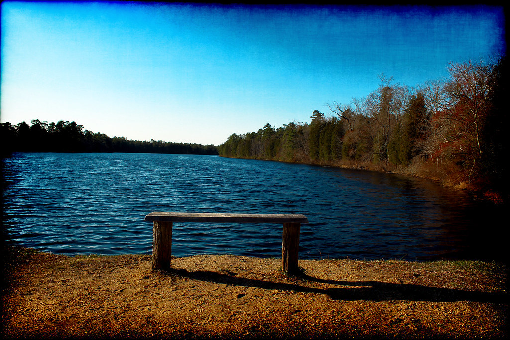
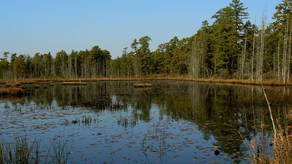
On Batsto Lake
Batsto Lake
[110/365] its gonna take a little time
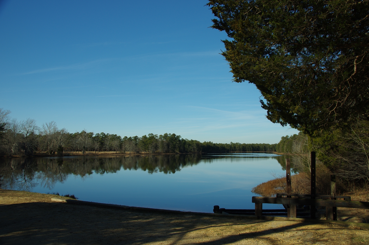
Pinelands Lake

Spring Flow

Wading River tributary
2016-03-14_10-29-42
The Road to the Bogs

2010_1027-0011
Batsto village
Perfect day kayaking

Winter fields
Beaver Pond
Topographic Map of Mullica, NJ, USA
Find elevation by address:

Places in Mullica, NJ, USA:
Places near Mullica, NJ, USA:
Circle Dr, Hammonton, NJ, USA
5257 S White Horse Pike
Cedar Creek High School
5018 New Hampshire Ave
Batsto Village
The Batsto Mansion
Batsto
518 Kant St
Nesco Rd, Hammonton, NJ, USA
Nesco Rd, Hammonton, NJ, USA
River Rd, Egg Harbor City, NJ, USA
3600 S White Horse Pike
Bulltown Rd, Egg Harbor City, NJ, USA
457 Pleasant Mills Rd
Da Costa
874 S 1st Rd
128 Batchelor Ln
656 Grape St
Washington
42 N 4th St
Recent Searches:
- Elevation of Corso Fratelli Cairoli, 35, Macerata MC, Italy
- Elevation of Tallevast Rd, Sarasota, FL, USA
- Elevation of 4th St E, Sonoma, CA, USA
- Elevation of Black Hollow Rd, Pennsdale, PA, USA
- Elevation of Oakland Ave, Williamsport, PA, USA
- Elevation of Pedrógão Grande, Portugal
- Elevation of Klee Dr, Martinsburg, WV, USA
- Elevation of Via Roma, Pieranica CR, Italy
- Elevation of Tavkvetili Mountain, Georgia
- Elevation of Hartfords Bluff Cir, Mt Pleasant, SC, USA