Elevation of Mule Stomp Rd, Clyde, NC, USA
Location: United States > North Carolina > Haywood County > Clyde > Clyde >
Longitude: -82.917694
Latitude: 35.7408318
Elevation: 1263m / 4144feet
Barometric Pressure: 87KPa
Elevation Map:
Satellite Map:
Related Photos:

Very hazy view of Tenn from Max Patch

max patch

View of Tennessee from Max Patch Bald

Mjolnir Dances Tonight

The Appalachian Trail

TrackHead Studios - DO NOT TOUCH

Celebrating the 4th of July

Rainbows over Max Patch

View From Max Patch

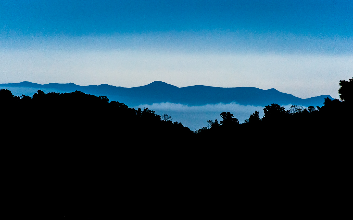
The Smokey Mountains

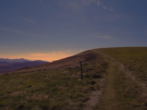
Max Patch

Max Patch, Pisgah Nat'l Forest, Proverbs 10:25

Max Patch, Romans 1:20

View from Max Patch

View from Max Patch

Fall on Max Patch

max patch mayapple fields
MAX PATCH BALD

NC 209 Scenic View

Messer Rd.

Max Patch, Isaiah 52:10

tone gold

the emerald city

Long walk up

Max Patch, Pisgah National Forest, Madison County, North Carolina

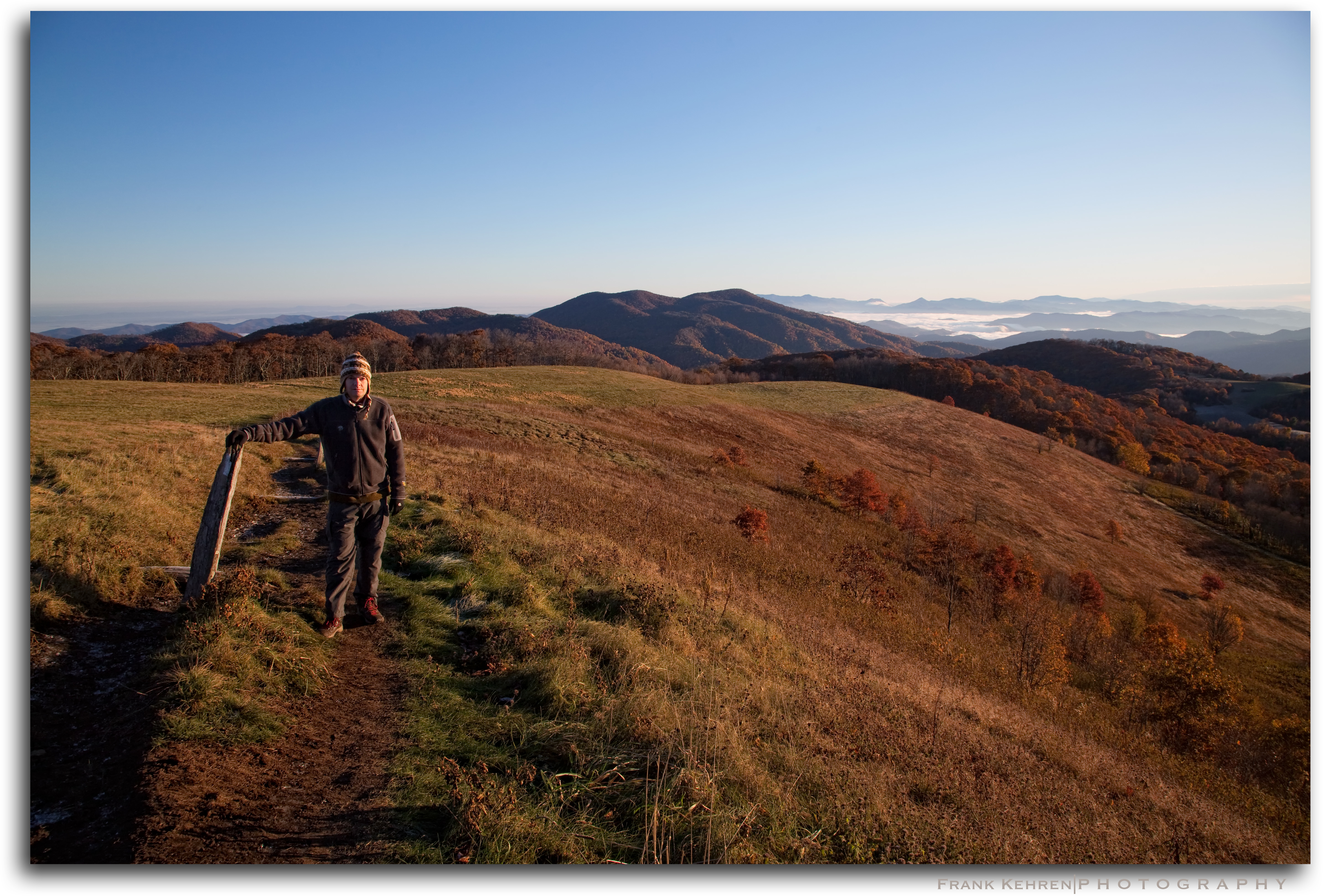
Morning on Max Patch
Appalachian Trail on Max Patch
Early Morning

changing colors

Drv2NYC (890)

Harmon Den Creek in North Carolina.

Max Patch 03
Topographic Map of Mule Stomp Rd, Clyde, NC, USA
Find elevation by address:

Places near Mule Stomp Rd, Clyde, NC, USA:
377 Mule Stomp Rd
5922 Max Patch Rd
5922 Max Patch Rd
5922 Max Patch Rd
5260 Max Patch Rd
Max Patch Road
253 Benitez Way
Short Ridge Lane
555 Short Ridge Ln
3424 Wesley Creek Rd
1168 Max Patch Rd
Sacred Cove Drive
1370 Caldwell Mountain Rd
601 Indian Camp Creek Rd
1203 Caldwell Mountain Rd
292 Hickory Ridge Rd
85 Woody Farm Rd
1735 Sacred Cove Dr
1612 Wesley Creek Rd
345 Soaring Mountain Rd
Recent Searches:
- Elevation of Corso Fratelli Cairoli, 35, Macerata MC, Italy
- Elevation of Tallevast Rd, Sarasota, FL, USA
- Elevation of 4th St E, Sonoma, CA, USA
- Elevation of Black Hollow Rd, Pennsdale, PA, USA
- Elevation of Oakland Ave, Williamsport, PA, USA
- Elevation of Pedrógão Grande, Portugal
- Elevation of Klee Dr, Martinsburg, WV, USA
- Elevation of Via Roma, Pieranica CR, Italy
- Elevation of Tavkvetili Mountain, Georgia
- Elevation of Hartfords Bluff Cir, Mt Pleasant, SC, USA