Elevation of Mukut Parbat, Zanda, Ngari, China
Location: China > Tibet > Ngari > Zanda >
Longitude: 79.57
Latitude: 30.949167
Elevation: 7226m / 23707feet
Barometric Pressure: 40KPa
Elevation Map:
Satellite Map:
Related Photos:
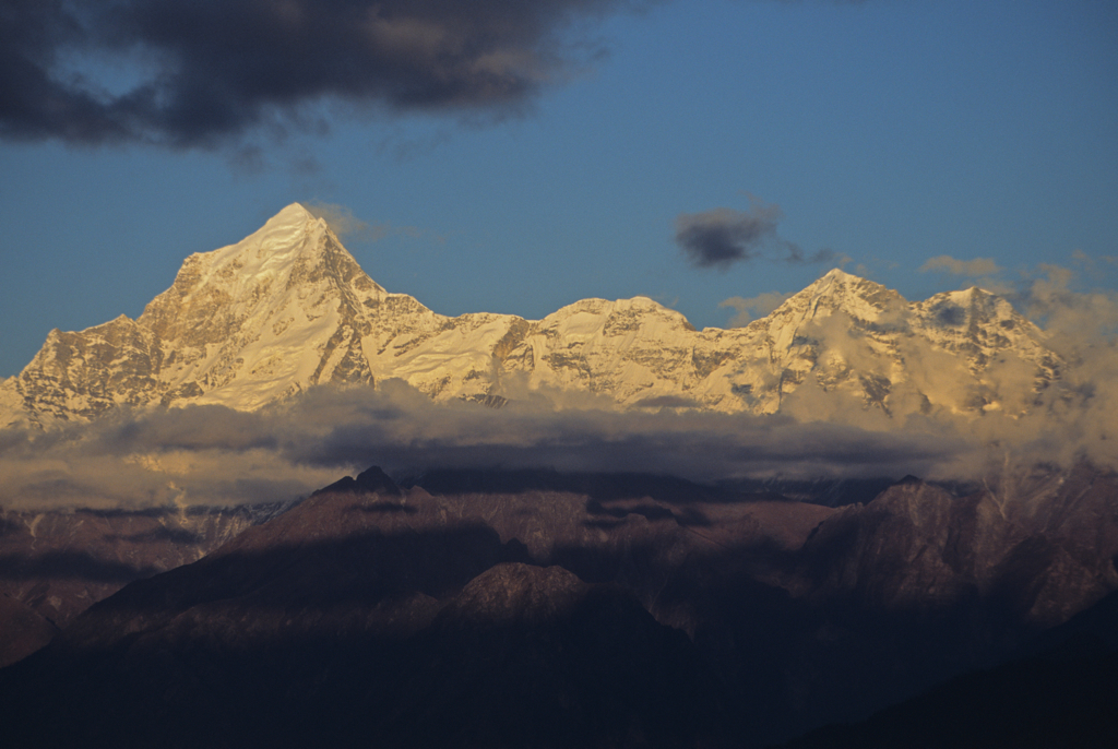
Dronagiri (7066mt)- Eastern Garhwal Himal, Uttaranchal, India.

Nag Tal, Ghastoli
Topographic Map of Mukut Parbat, Zanda, Ngari, China
Find elevation by address:

Places near Mukut Parbat, Zanda, Ngari, China:
Recent Searches:
- Elevation of Corso Fratelli Cairoli, 35, Macerata MC, Italy
- Elevation of Tallevast Rd, Sarasota, FL, USA
- Elevation of 4th St E, Sonoma, CA, USA
- Elevation of Black Hollow Rd, Pennsdale, PA, USA
- Elevation of Oakland Ave, Williamsport, PA, USA
- Elevation of Pedrógão Grande, Portugal
- Elevation of Klee Dr, Martinsburg, WV, USA
- Elevation of Via Roma, Pieranica CR, Italy
- Elevation of Tavkvetili Mountain, Georgia
- Elevation of Hartfords Bluff Cir, Mt Pleasant, SC, USA