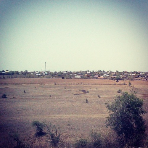
Elevation of Muktainagar, Maharashtra, India
Location: India > Maharashtra > Jalgaon >
Longitude: 76.0594972
Latitude: 21.0468205
Elevation: 230m / 755feet
Barometric Pressure: 99KPa
Related Photos:
Topographic Map of Muktainagar, Maharashtra, India
Find elevation by address:

Places near Muktainagar, Maharashtra, India:
Malkapur
Motala
Buldana
Khamgaon
Baradari
Khamgaon Bus Stop
Dhodap
Buldhana
Shegaon
Chikhli
Jafrabad
Hiwra Ashram
Hiwara Bk.
Akola
Akola
Musalwadi
Washim
Recent Searches:
- Elevation of Corso Fratelli Cairoli, 35, Macerata MC, Italy
- Elevation of Tallevast Rd, Sarasota, FL, USA
- Elevation of 4th St E, Sonoma, CA, USA
- Elevation of Black Hollow Rd, Pennsdale, PA, USA
- Elevation of Oakland Ave, Williamsport, PA, USA
- Elevation of Pedrógão Grande, Portugal
- Elevation of Klee Dr, Martinsburg, WV, USA
- Elevation of Via Roma, Pieranica CR, Italy
- Elevation of Tavkvetili Mountain, Georgia
- Elevation of Hartfords Bluff Cir, Mt Pleasant, SC, USA

