Elevation of Mukawa, Yufutsu District, Hokkaido Prefecture, Japan
Location: Japan > Hokkaido Prefecture > Yufutsu District >
Longitude: 141.926750
Latitude: 42.5748066
Elevation: 7m / 23feet
Barometric Pressure: 101KPa
Elevation Map:
Satellite Map:
Related Photos:
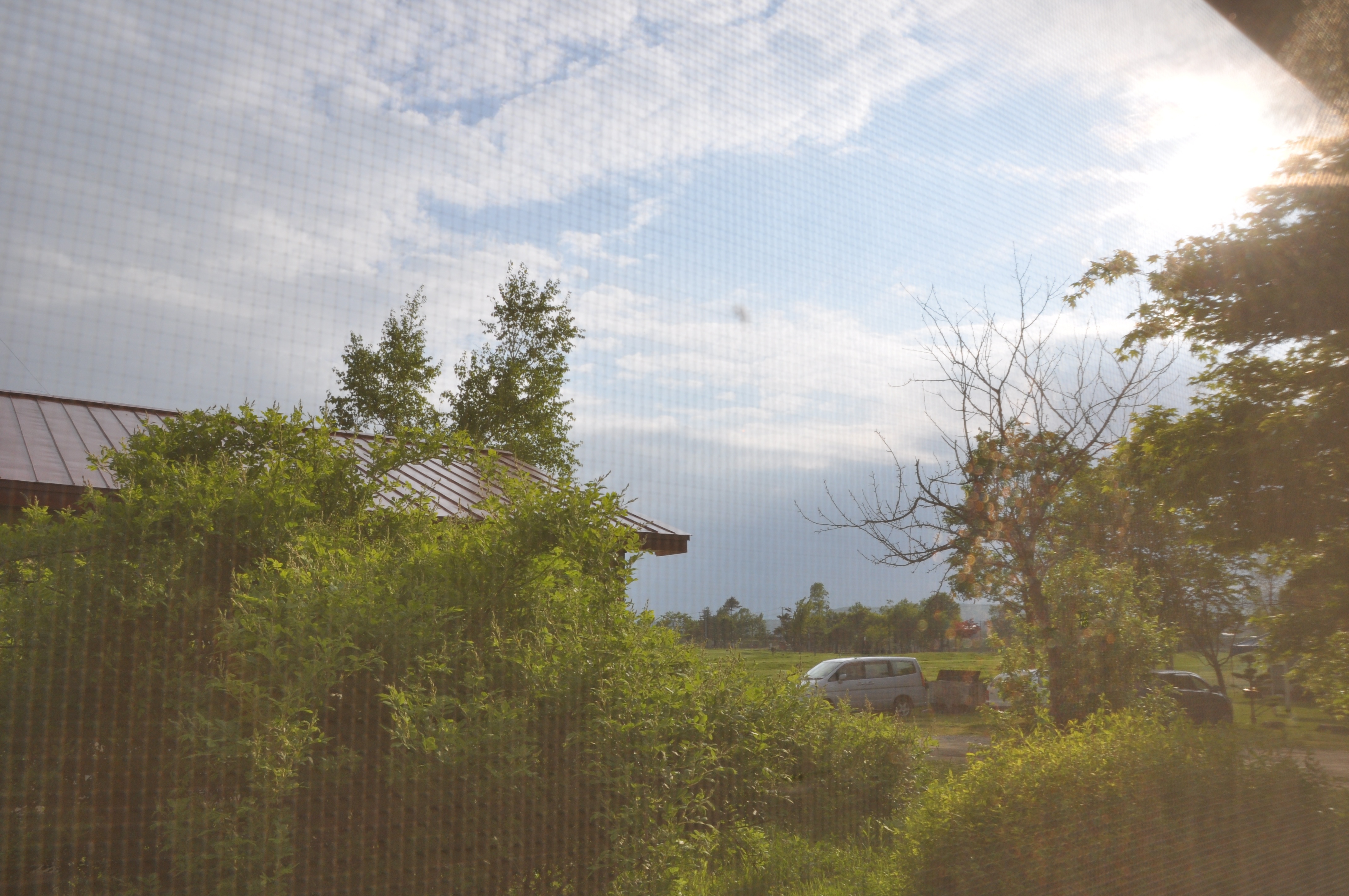
my bedroom view
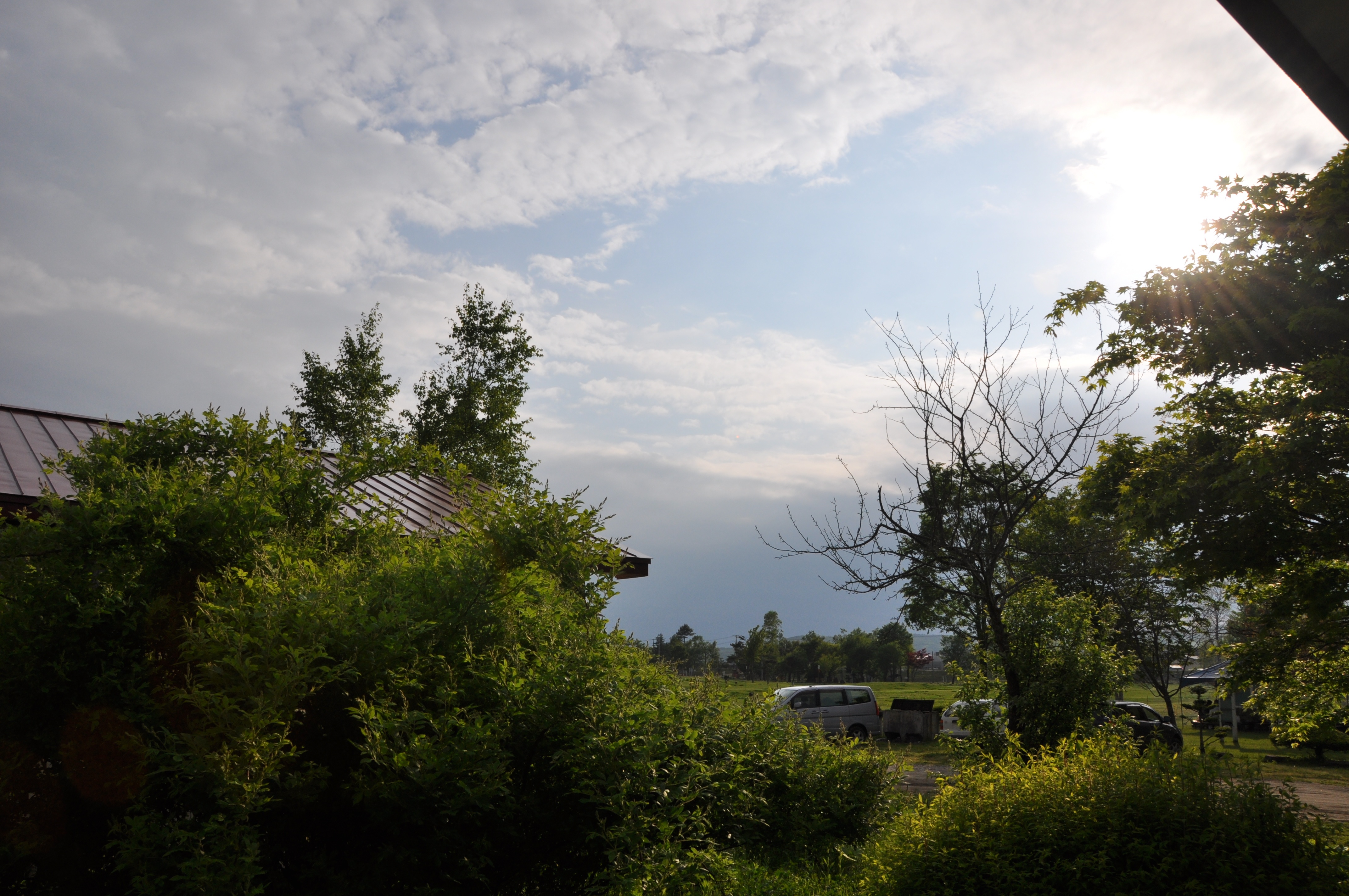
my bedroom view
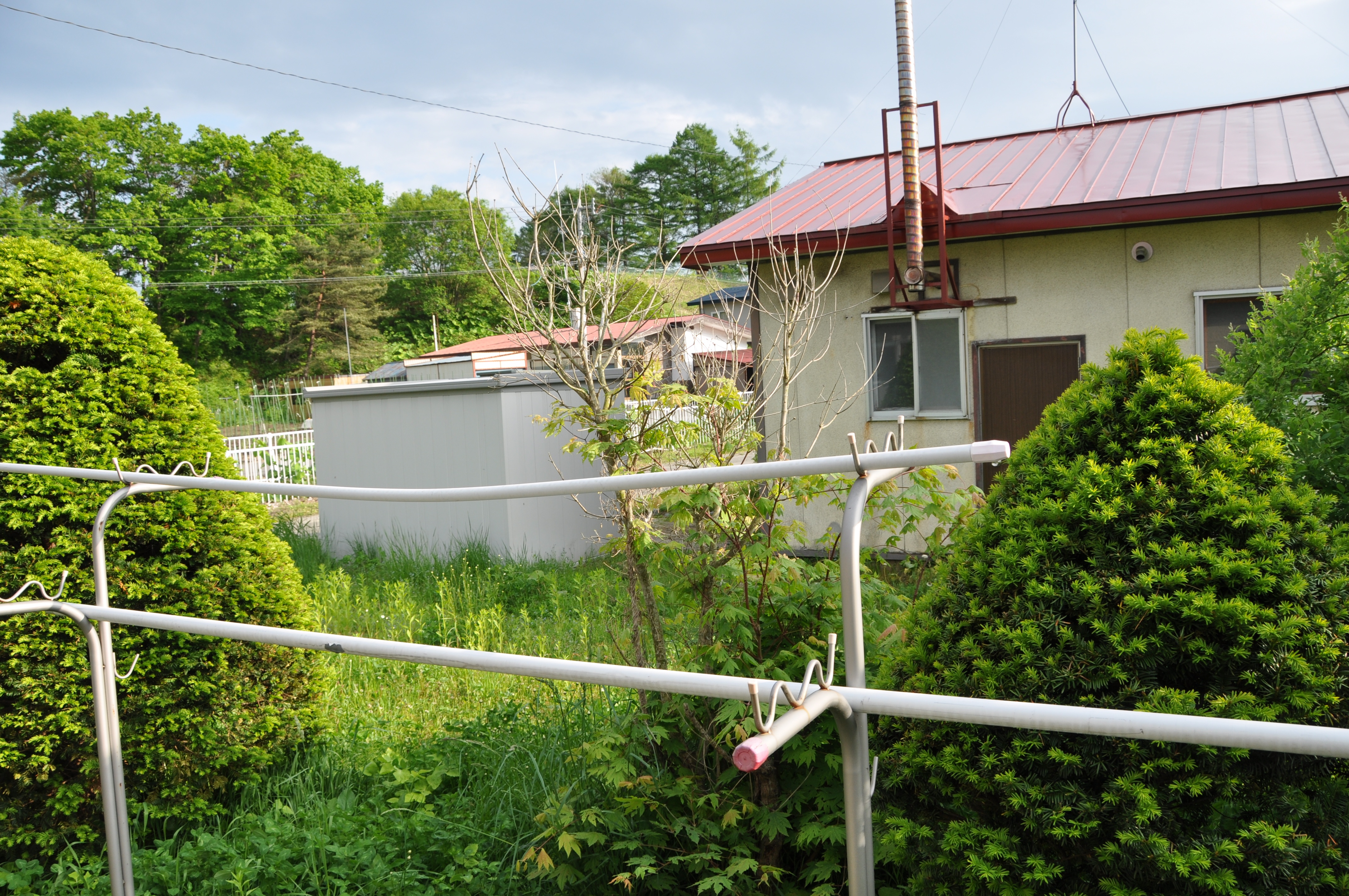
my bedroom view
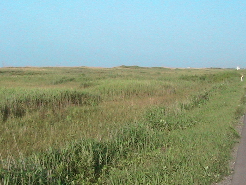
Southern Hokkaidou coast
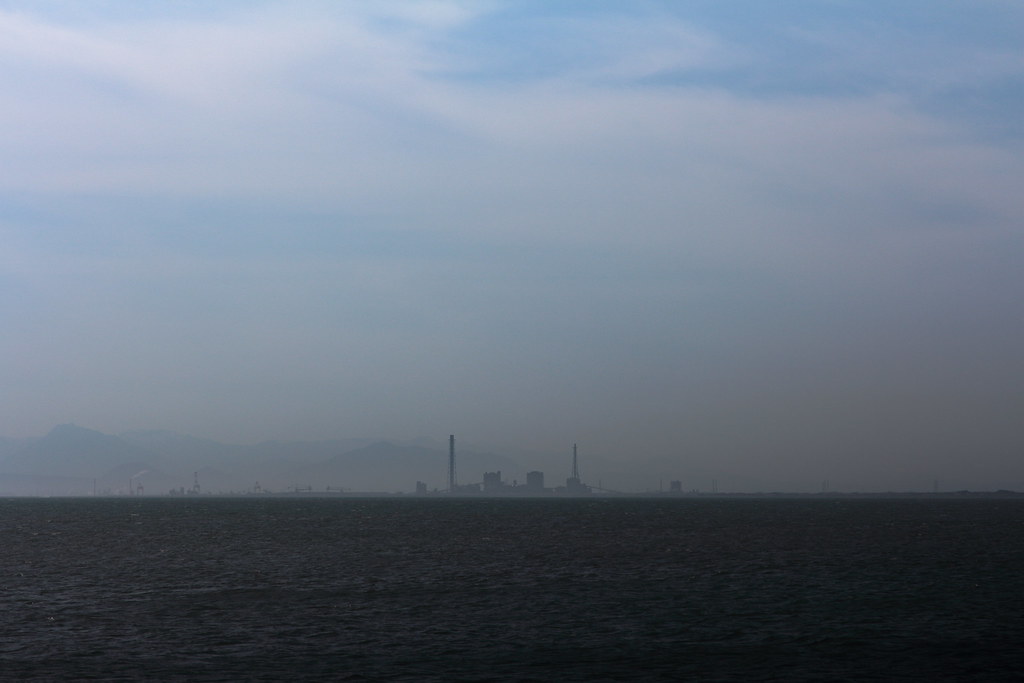
Atsuma thermal power plant
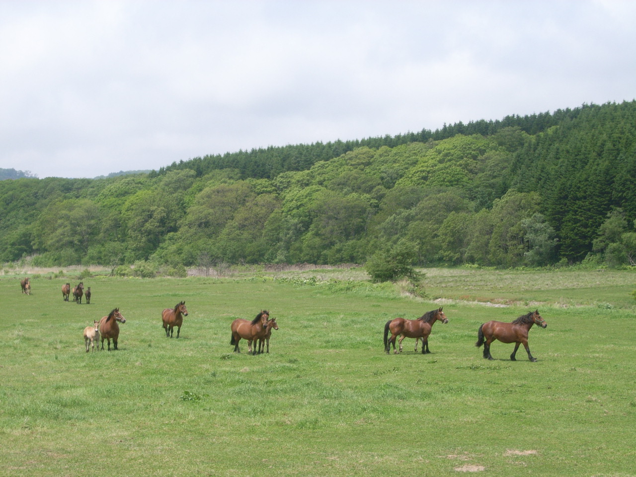
馬
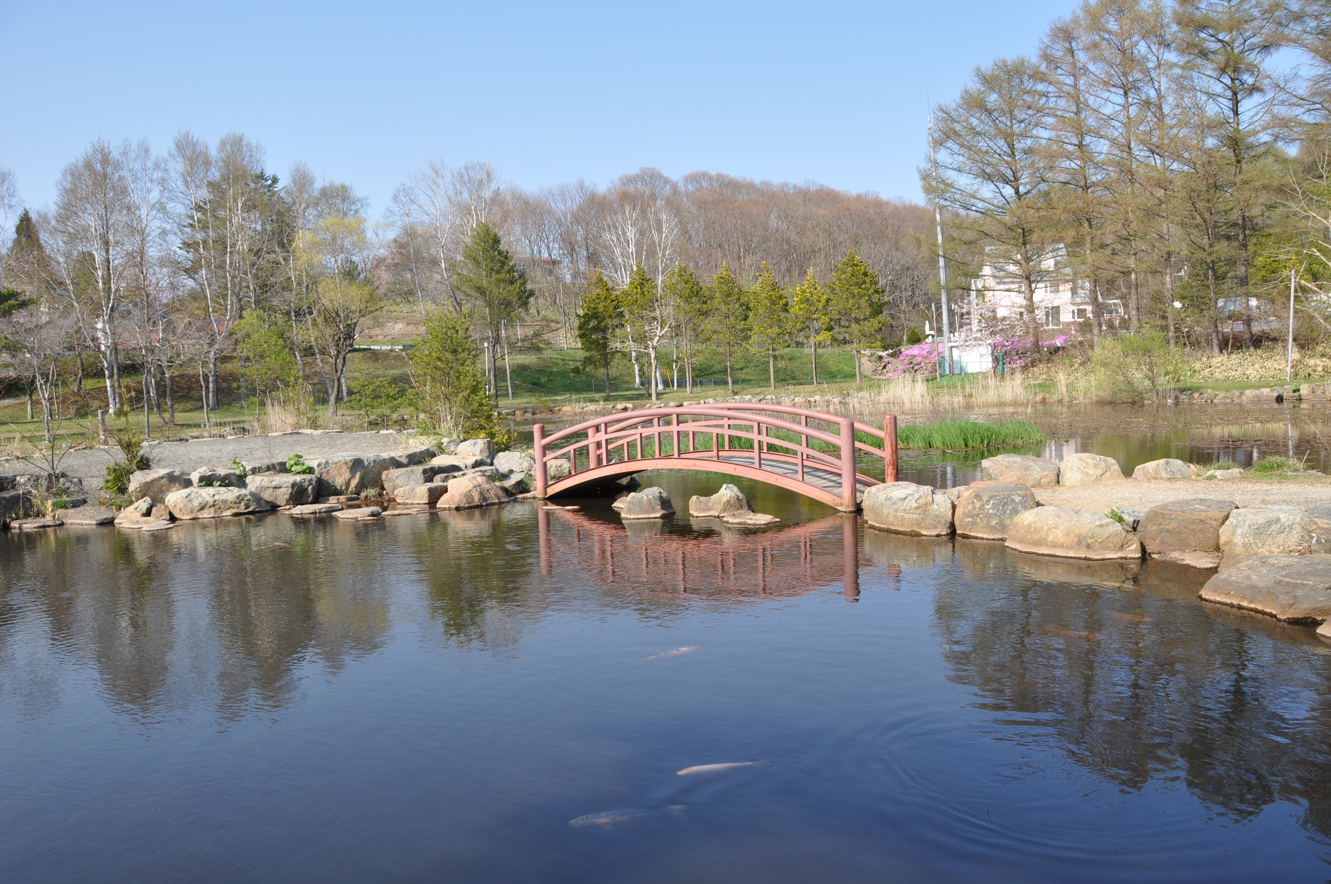
Saruka and Koi and Ducks
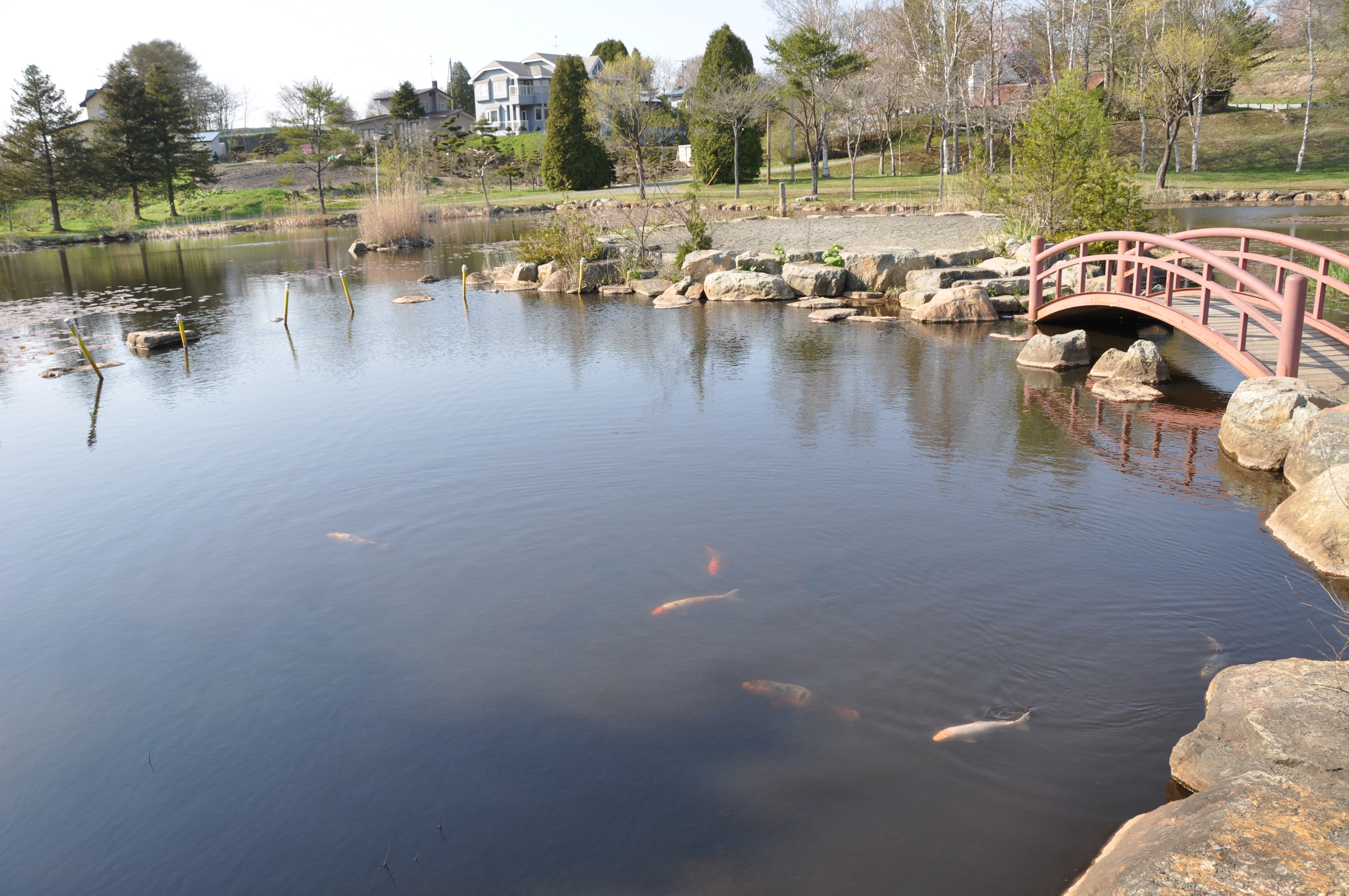
Saruka and Koi and Ducks
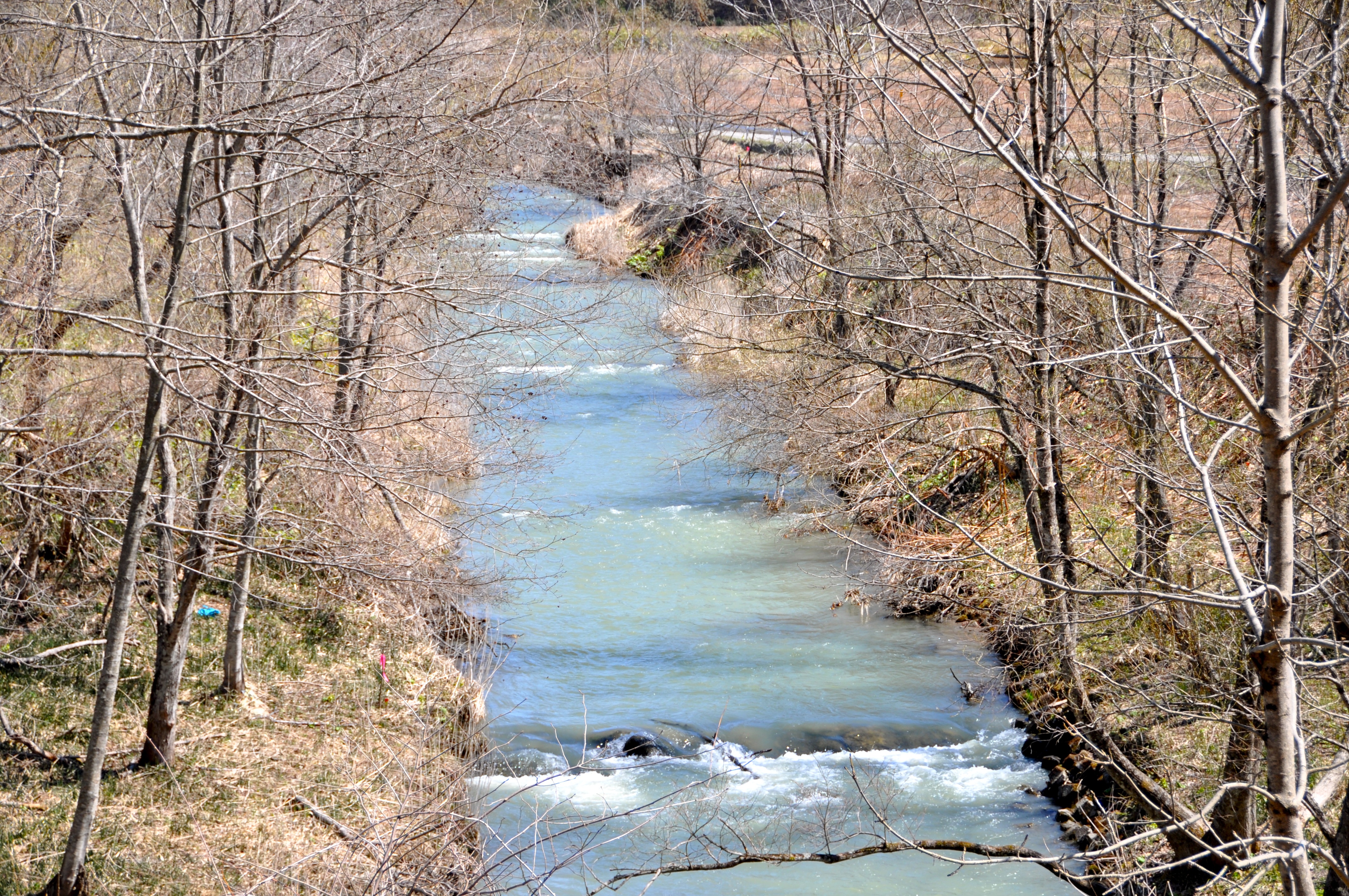
Atsuma Dam River
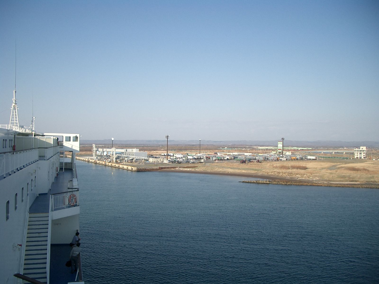
Tomakomai-Higashi port
意外と乗れた

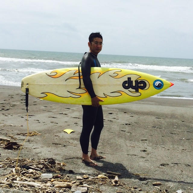
厚真の海岸で弟と義妹がサーフィンしているのをムックリと見物
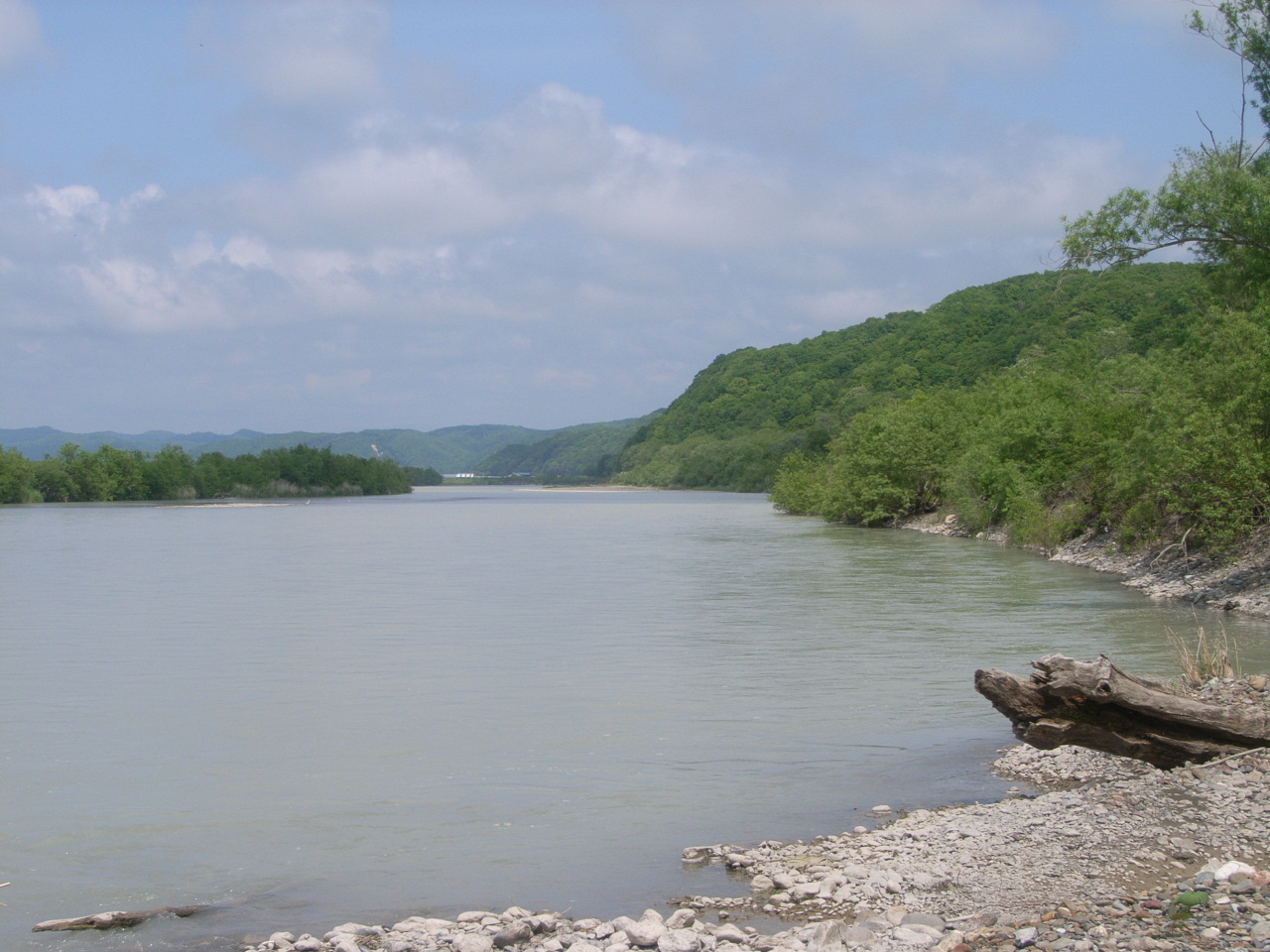
上流
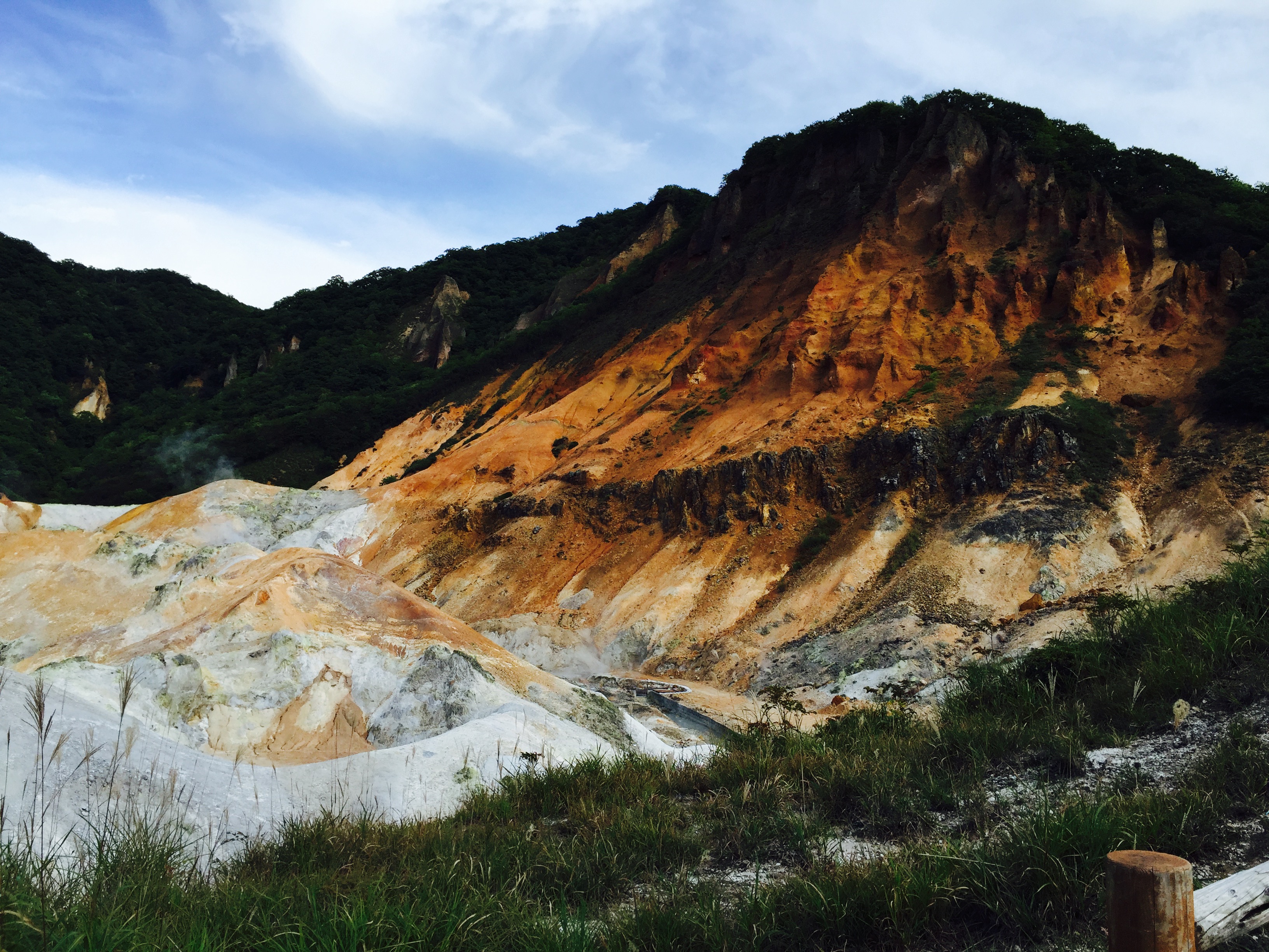
登別地獄谷
Topographic Map of Mukawa, Yufutsu District, Hokkaido Prefecture, Japan
Find elevation by address:

Places in Mukawa, Yufutsu District, Hokkaido Prefecture, Japan:
Hobetsu, Mukawa-chō, Yūfutsu-gun, Hokkaidō -, Japan
6-13 Hobetsuazumi, Mukawa-chō, Yūfutsu-gun, Hokkaidō -, Japan
Places near Mukawa, Yufutsu District, Hokkaido Prefecture, Japan:
Toyosawa, Atsuma-chō, Yūfutsu-gun, Hokkaidō -, Japan
Tōwa, Atsuma-chō, Yūfutsu-gun, Hokkaidō -, Japan
Atsuma
Abira
Higashihayakita
Abira, Abira-chō, Yūfutsu-gun, Hokkaidō -, Japan
Abira, Abira-chō, Yūfutsu-gun, Hokkaidō -, Japan
Bibi
New Chitose Airport
Tomakomai
3 Chome-2 Shimizuchō, Tomakomai-shi, Hokkaidō -, Japan
Chitose
Higashimikawa, Yuni-chō, Yūbari-gun, Hokkaidō -, Japan
-81 Izumisawa, Chitose-shi, Hokkaidō -, Japan
2 Chome-7-4 Shirakaba, Chitose-shi, Hokkaidō -, Japan
Yuni
Yubari District
Eniwa
2 Chome-2 Shikanotani, Yūbari-shi, Hokkaidō -, Japan
4 Chome-2-23 Bunkyōchō, Eniwa-shi, Hokkaidō -, Japan
Recent Searches:
- Elevation of Corso Fratelli Cairoli, 35, Macerata MC, Italy
- Elevation of Tallevast Rd, Sarasota, FL, USA
- Elevation of 4th St E, Sonoma, CA, USA
- Elevation of Black Hollow Rd, Pennsdale, PA, USA
- Elevation of Oakland Ave, Williamsport, PA, USA
- Elevation of Pedrógão Grande, Portugal
- Elevation of Klee Dr, Martinsburg, WV, USA
- Elevation of Via Roma, Pieranica CR, Italy
- Elevation of Tavkvetili Mountain, Georgia
- Elevation of Hartfords Bluff Cir, Mt Pleasant, SC, USA