Elevation of Mueang Ranong District, Ranong, Thailand
Location: Thailand >
Longitude: 98.6084506
Latitude: 9.9528852
Elevation: 8m / 26feet
Barometric Pressure: 101KPa
Elevation Map:
Satellite Map:
Related Photos:

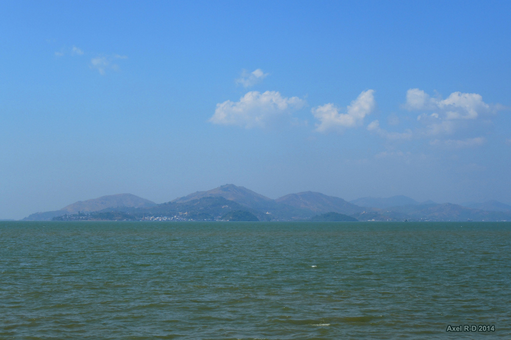
View over Kawthaung

Golden stupa

Ranong main street
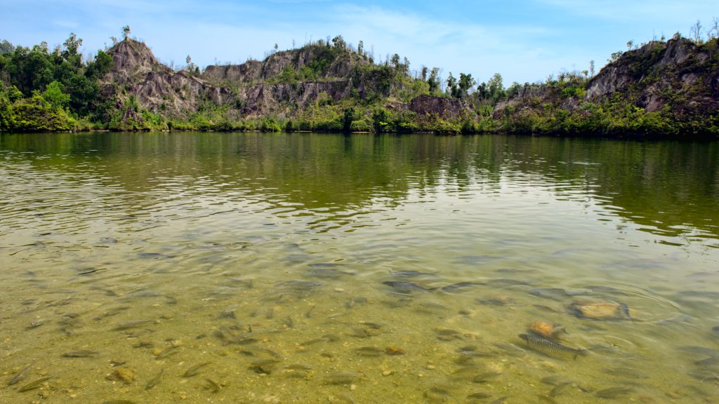
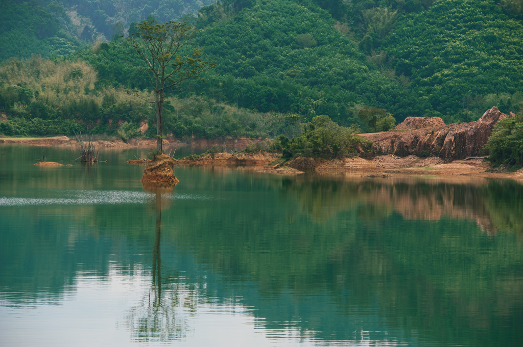
Ranong Canyon

Punyaban Waterfall, Ranong, Thailand

An evening at Victoria Point, Ranong, Thailand.

Pyi Daw Aye Pagoda

Southernmost point of mainland Myanmar
Looking back at Kawthoung

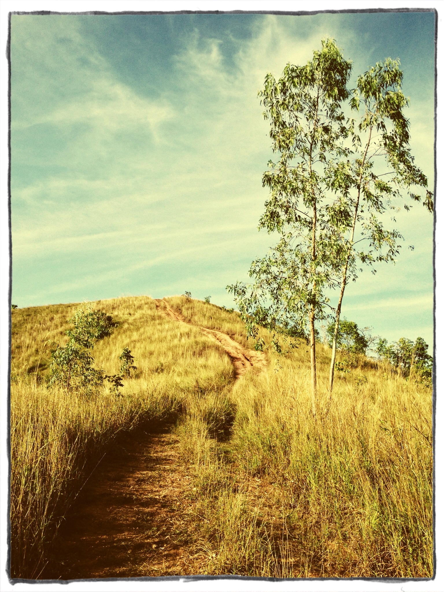
Bald Hill, Ranong #thailand #whyweride #iphonelony #fzs600

Koh Phayam, Thailand

ภูเขาหญ้า Grass Hill - Ranong

Hot spring @Ranong

Had a wonderful time sailing in the last few days on the Andaman Sea visiting Burmese desert islands on the Lampy National Park #myanmar #burma #lampi
Thailand (Phuket-Ranong)

Koh Phayam, Thailand

thailand-0294.JPG

31A_00130-2

__4_00045-2
Hat Som Paen Reserve
Topographic Map of Mueang Ranong District, Ranong, Thailand
Find elevation by address:

Places in Mueang Ranong District, Ranong, Thailand:
Places near Mueang Ranong District, Ranong, Thailand:
Recent Searches:
- Elevation of Corso Fratelli Cairoli, 35, Macerata MC, Italy
- Elevation of Tallevast Rd, Sarasota, FL, USA
- Elevation of 4th St E, Sonoma, CA, USA
- Elevation of Black Hollow Rd, Pennsdale, PA, USA
- Elevation of Oakland Ave, Williamsport, PA, USA
- Elevation of Pedrógão Grande, Portugal
- Elevation of Klee Dr, Martinsburg, WV, USA
- Elevation of Via Roma, Pieranica CR, Italy
- Elevation of Tavkvetili Mountain, Georgia
- Elevation of Hartfords Bluff Cir, Mt Pleasant, SC, USA