Elevation map of Mubende, Uganda
Location: Uganda > Central Region >
Longitude: 31.5370003
Latitude: 0.5772758
Elevation: 1230m / 4035feet
Barometric Pressure: 87KPa
Elevation Map:
Satellite Map:
Related Photos:
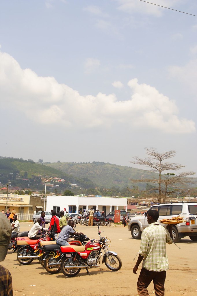
_MG_6108

Fort Portal, Uganda

Fort Portal, Uganda

Time for da #rolex

Who is beating my meat?

Try him!

Resting in the shade

Roadside life

I didn't take this photo. Scanned it.

Roadside refreshments
Topographic Map of Mubende, Uganda
Find elevation by address:

Places in Mubende, Uganda:
Places near Mubende, Uganda:
Recent Searches:
- Elevation of Corso Fratelli Cairoli, 35, Macerata MC, Italy
- Elevation of Tallevast Rd, Sarasota, FL, USA
- Elevation of 4th St E, Sonoma, CA, USA
- Elevation of Black Hollow Rd, Pennsdale, PA, USA
- Elevation of Oakland Ave, Williamsport, PA, USA
- Elevation of Pedrógão Grande, Portugal
- Elevation of Klee Dr, Martinsburg, WV, USA
- Elevation of Via Roma, Pieranica CR, Italy
- Elevation of Tavkvetili Mountain, Georgia
- Elevation of Hartfords Bluff Cir, Mt Pleasant, SC, USA