Elevation of Mt. Shiroishi, Otaki, Chichibu, Saitama Prefecture -, Japan
Location: Japan > Saitama Prefecture > Chichibu > Otaki > 539 Enzanichinosetakahashi >
Longitude: 138.878024
Latitude: 35.8992753
Elevation: 2030m / 6660feet
Barometric Pressure: 79KPa
Elevation Map:
Satellite Map:
Related Photos:
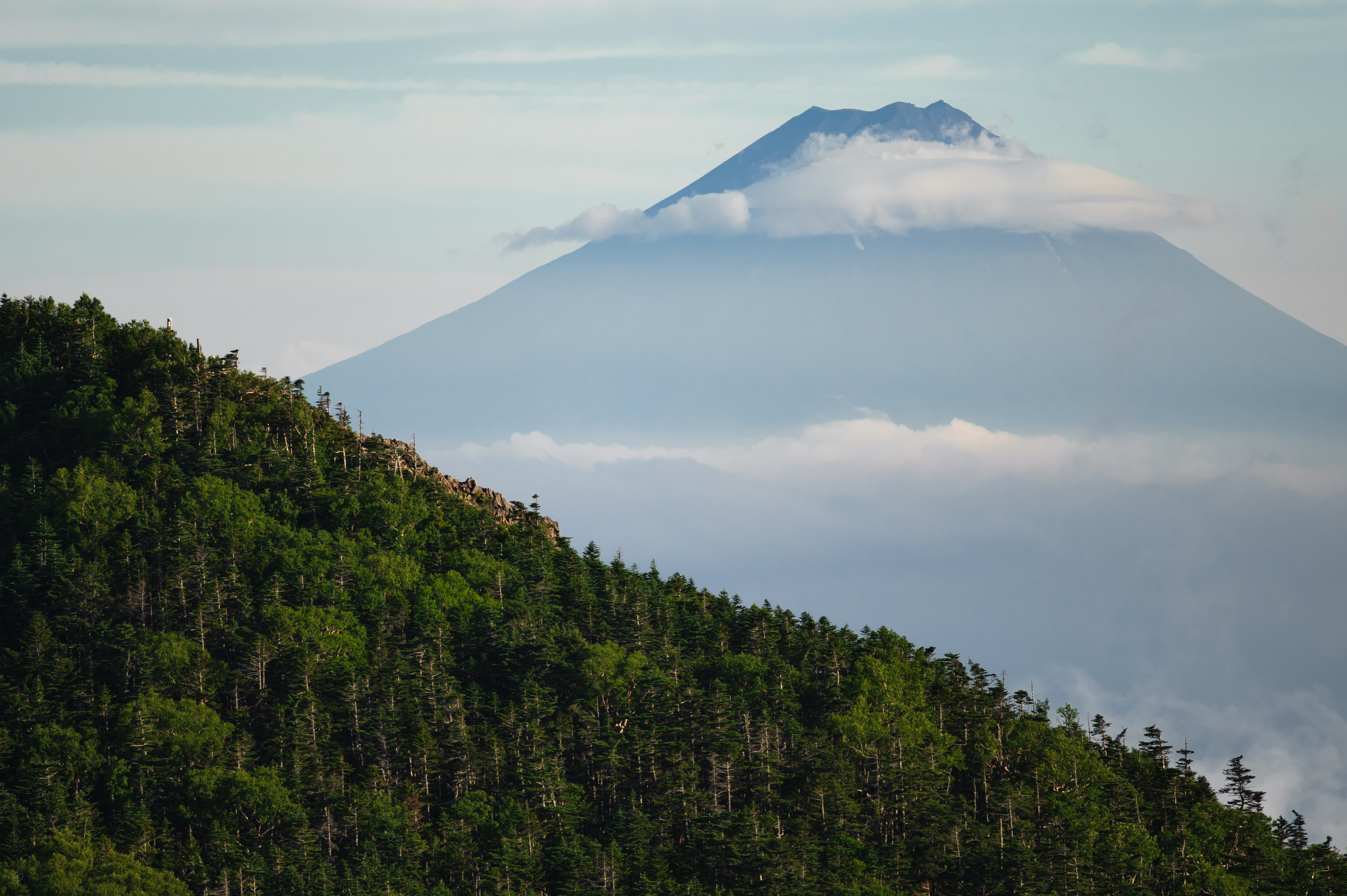
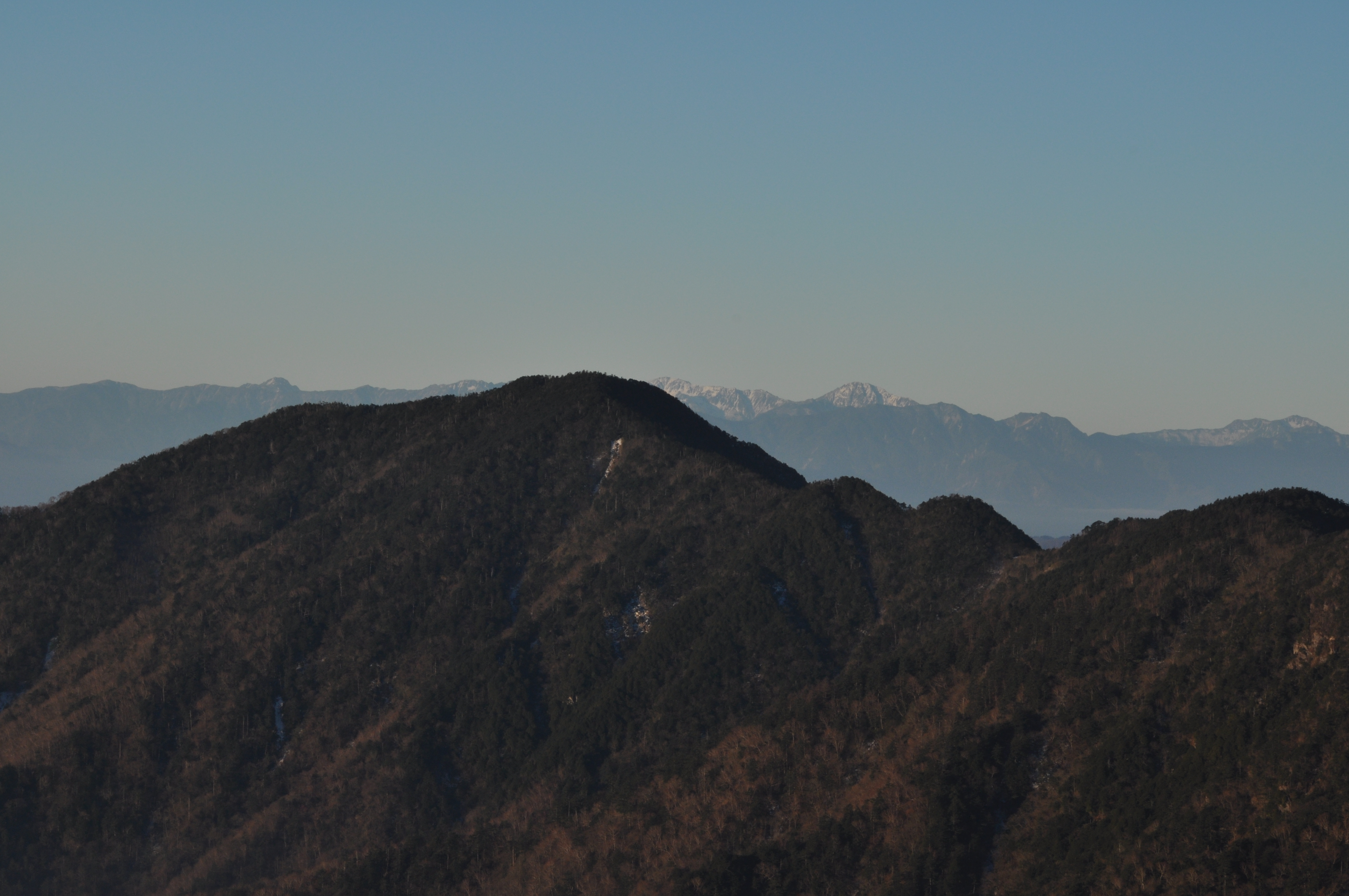
富士山 & 甲武信ヶ岳
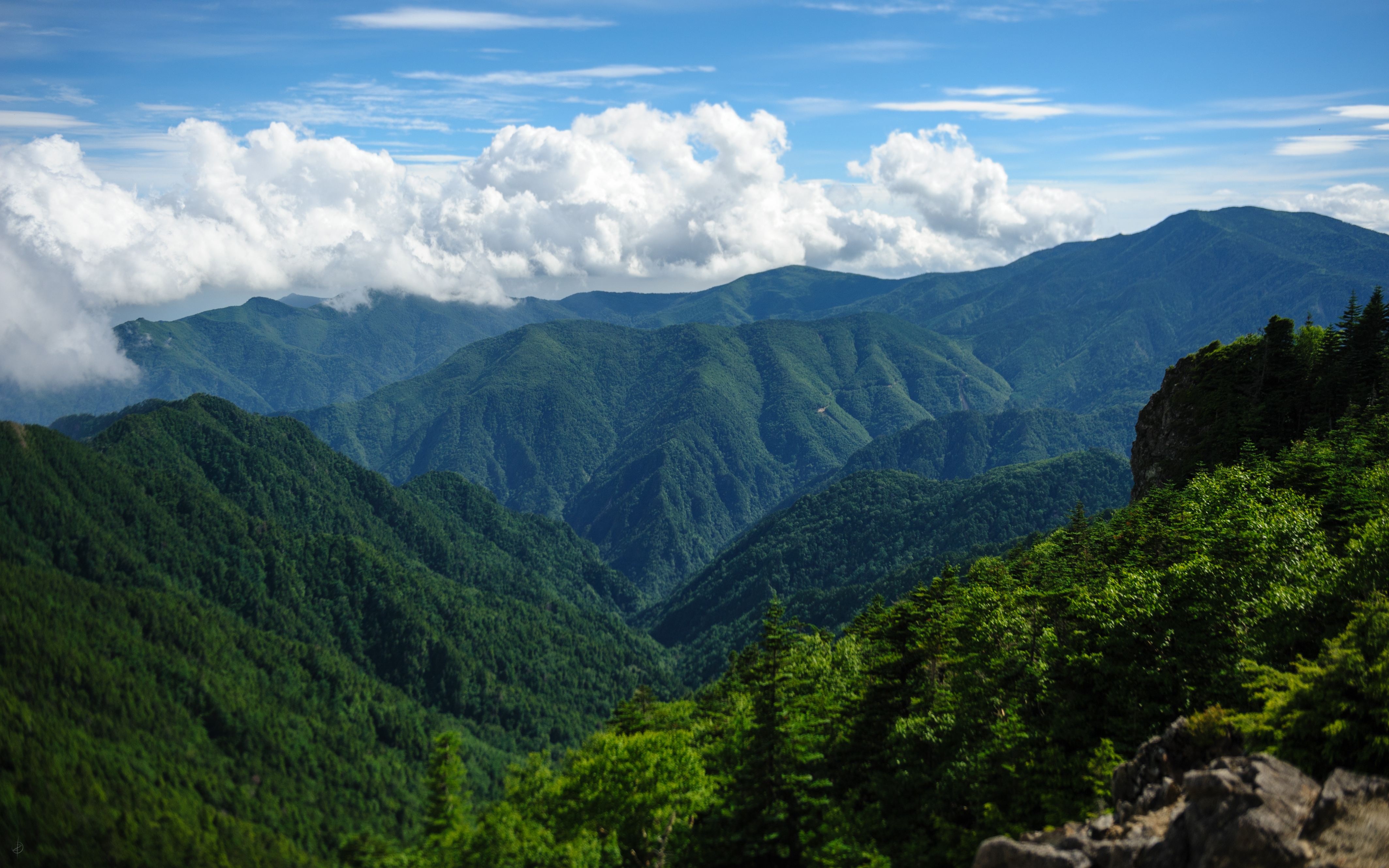
山梨県 | Yamanashi Prefecture
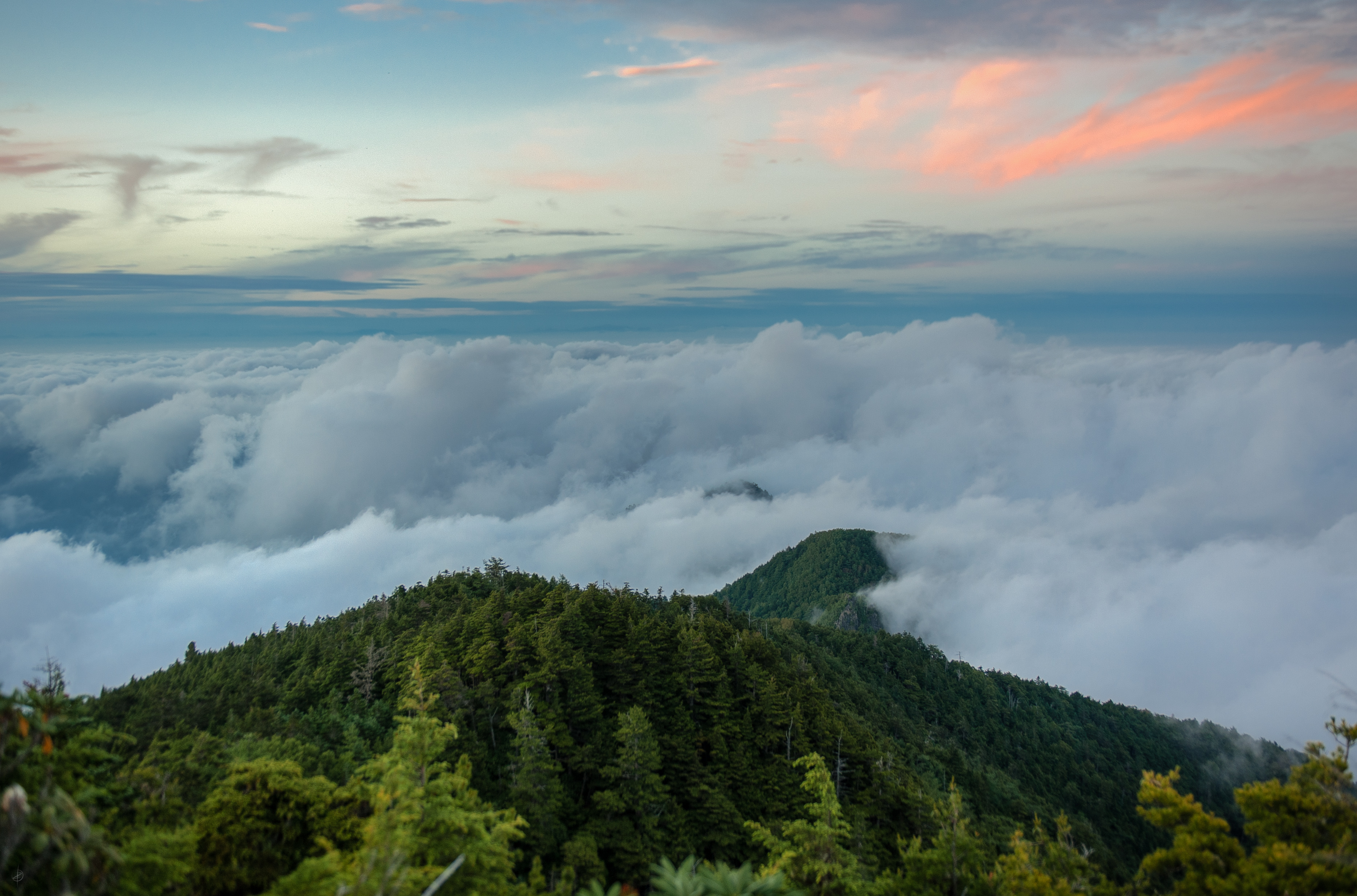
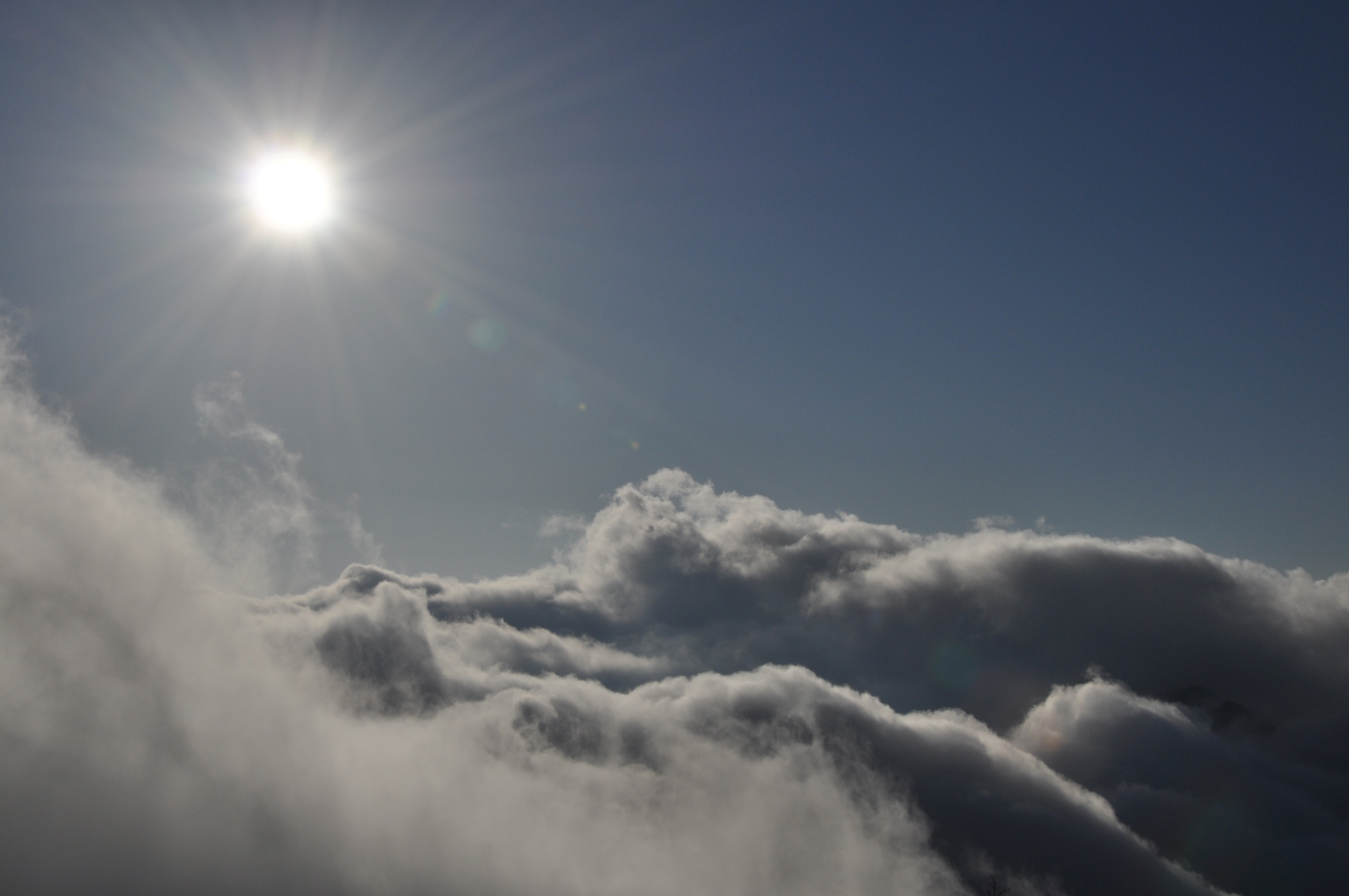
Sunset 雲海
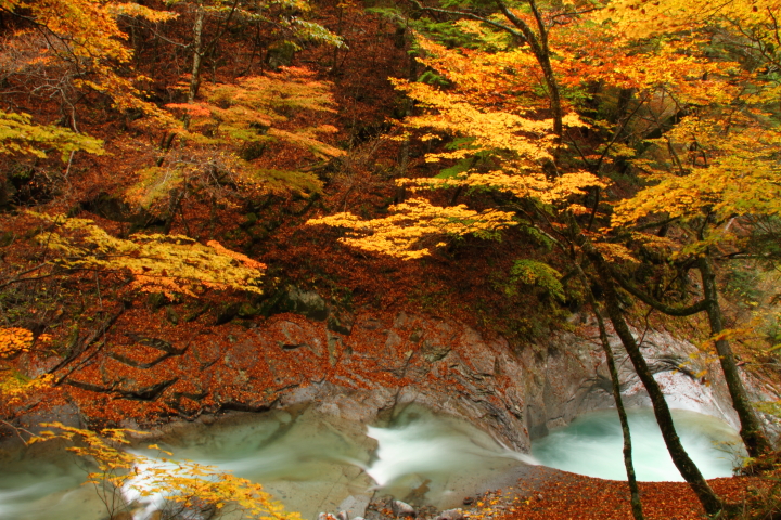
Autumn View at Nishizawa Valley
View from top of Mt.Kumotori #3 -頂上@雲取山-
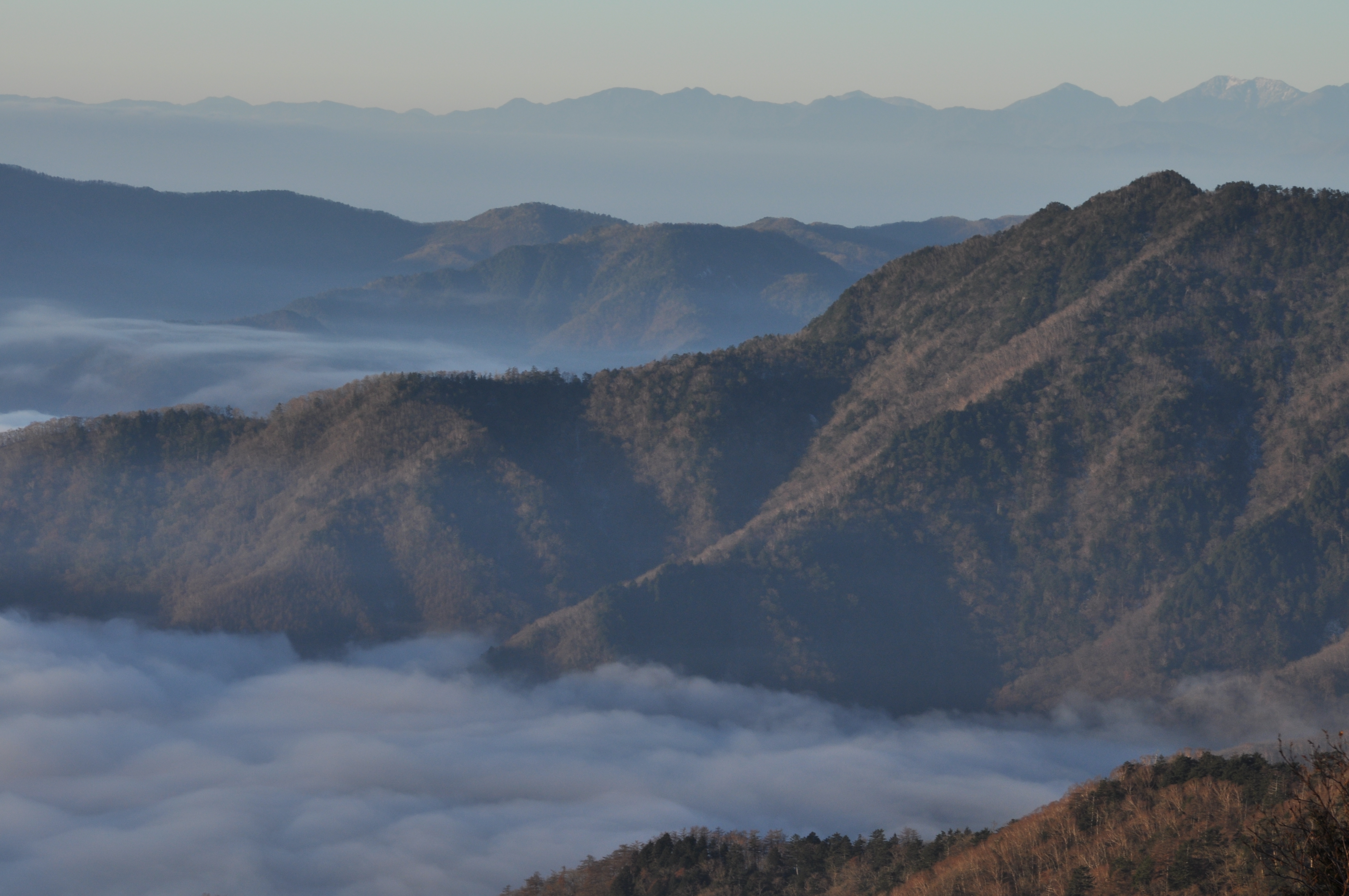
View from top of Mt.Kumotori #2 -景色@雲取山-
View from top of Mt.Kumotori #1 -景色@雲取山-
Topographic Map of Mt. Shiroishi, Otaki, Chichibu, Saitama Prefecture -, Japan
Find elevation by address:

Places near Mt. Shiroishi, Otaki, Chichibu, Saitama Prefecture -, Japan:
89 Mitsumine, Chichibu-shi, Saitama-ken -, Japan
Otaki
Arakawashiroku, Chichibu-shi, Saitama-ken -, Japan
Arakawahino, Chichibu-shi, Saitama-ken -, Japan
Kuna
Chichibu District
Pica Chichibu
Chichibu Muse Park
Tamura
Shimokagemori, Chichibu-shi, Saitama-ken -, Japan
Chichibu
Yokoze
Yokoze, Yokoze-machi, Chichibu-gun, Saitama-ken -, Japan
Yokoze, Yokoze-machi, Chichibu-gun, Saitama-ken -, Japan
Kaminaguri
Kuroya, Chichibu-shi, Saitama-ken -, Japan
Shomaru Pass
447 Minamikawa
Odono Bus Stop
Kaiya, Higashichichibu-mura, Chichibu-gun, Saitama-ken -, Japan
Recent Searches:
- Elevation of Corso Fratelli Cairoli, 35, Macerata MC, Italy
- Elevation of Tallevast Rd, Sarasota, FL, USA
- Elevation of 4th St E, Sonoma, CA, USA
- Elevation of Black Hollow Rd, Pennsdale, PA, USA
- Elevation of Oakland Ave, Williamsport, PA, USA
- Elevation of Pedrógão Grande, Portugal
- Elevation of Klee Dr, Martinsburg, WV, USA
- Elevation of Via Roma, Pieranica CR, Italy
- Elevation of Tavkvetili Mountain, Georgia
- Elevation of Hartfords Bluff Cir, Mt Pleasant, SC, USA