Elevation of Mt. Kohide, (Other), Otaki, Kiso District, Nagano Prefecture -, Japan
Location: Japan > Nagano Prefecture > Kiso District > Otaki > (other) > 922 (sonota) >
Longitude: 137.396884
Latitude: 35.7854269
Elevation: 1853m / 6079feet
Barometric Pressure: 81KPa
Elevation Map:
Satellite Map:
Related Photos:

Soon coming

A stone statue, in all weathers

San no Ike, the crater lake of Mt. Kiso-Ontake, Japan

The top peak of Mt. Kiso-Ontake, Japan

Go no Ike, the crater lake of Mt. Kiso-Ontake, Japan

Top view of Mt. Kiso-Ontake, in Japan

View of the sunrise from the top of Mt. Kiso-Ontake, Japan
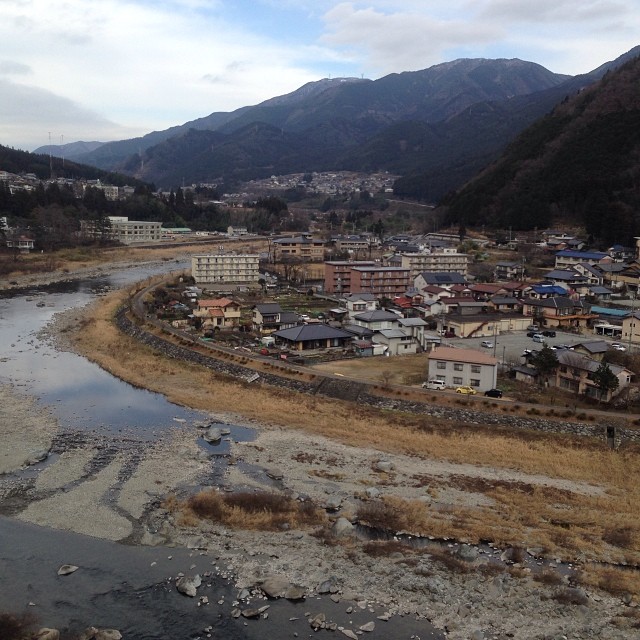
#japan #gifu #gero #view #river #mountain #下呂
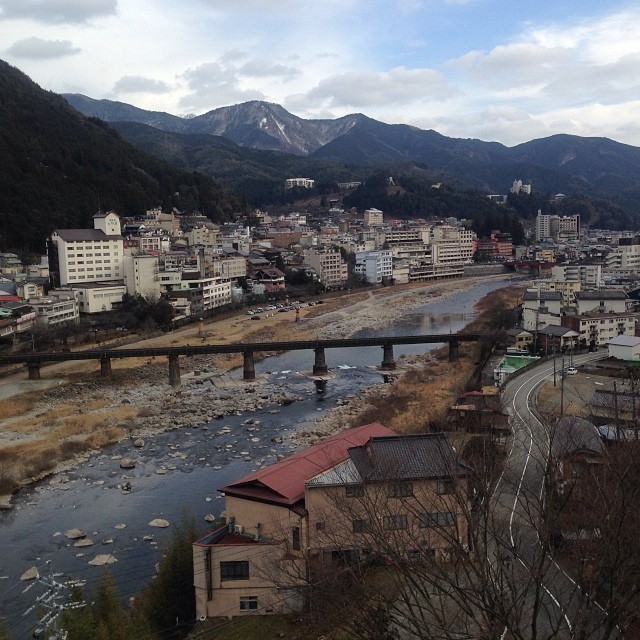
View from our hotel
Topographic Map of Mt. Kohide, (Other), Otaki, Kiso District, Nagano Prefecture -, Japan
Find elevation by address:

Places near Mt. Kohide, (Other), Otaki, Kiso District, Nagano Prefecture -, Japan:
922 (sonota)
(Sonota), Ōtaki-mura, Kiso-gun, Nagano-ken -, Japan
Mount Ontake
Gero
大正堂
1044-2-1 Mori
(other)
Otaki
1169-6 Kōden
Gero Station
Kando, Higashishirakawa-mura, Kamo-gun, Gifu-ken -, Japan
Higashishirakawa
(Sonota), Ōtaki-mura, Kiso-gun, Nagano-ken -, Japan
5346 Kaidakōgen Nishino
Kiso District
Mitake, Kiso-machi, Kiso-gun, Nagano-ken -, Japan
Nojiri Station
Yomikaki, Nagiso-machi, Kiso-gun, Nagano-ken -, Japan
Nagiso
Tsumago Castle
Recent Searches:
- Elevation of Corso Fratelli Cairoli, 35, Macerata MC, Italy
- Elevation of Tallevast Rd, Sarasota, FL, USA
- Elevation of 4th St E, Sonoma, CA, USA
- Elevation of Black Hollow Rd, Pennsdale, PA, USA
- Elevation of Oakland Ave, Williamsport, PA, USA
- Elevation of Pedrógão Grande, Portugal
- Elevation of Klee Dr, Martinsburg, WV, USA
- Elevation of Via Roma, Pieranica CR, Italy
- Elevation of Tavkvetili Mountain, Georgia
- Elevation of Hartfords Bluff Cir, Mt Pleasant, SC, USA