Elevation of Mt Hermon Rd, Pittsville, MD, USA
Location: United States > Maryland > Wicomico County > 6, Dennis >
Longitude: -75.375973
Latitude: 38.328469
Elevation: 9m / 30feet
Barometric Pressure: 101KPa
Elevation Map:
Satellite Map:
Related Photos:

Western Tanager

Rayne's Reef Soda Fountain and Grill

Western Tanager and Northern Cardinal
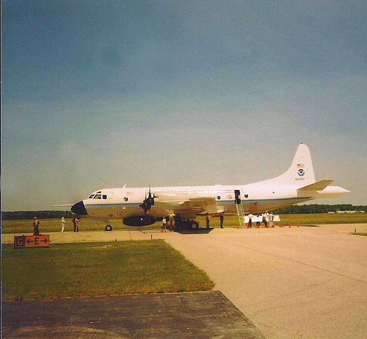
NOAA Hurricane Hunter Airplane
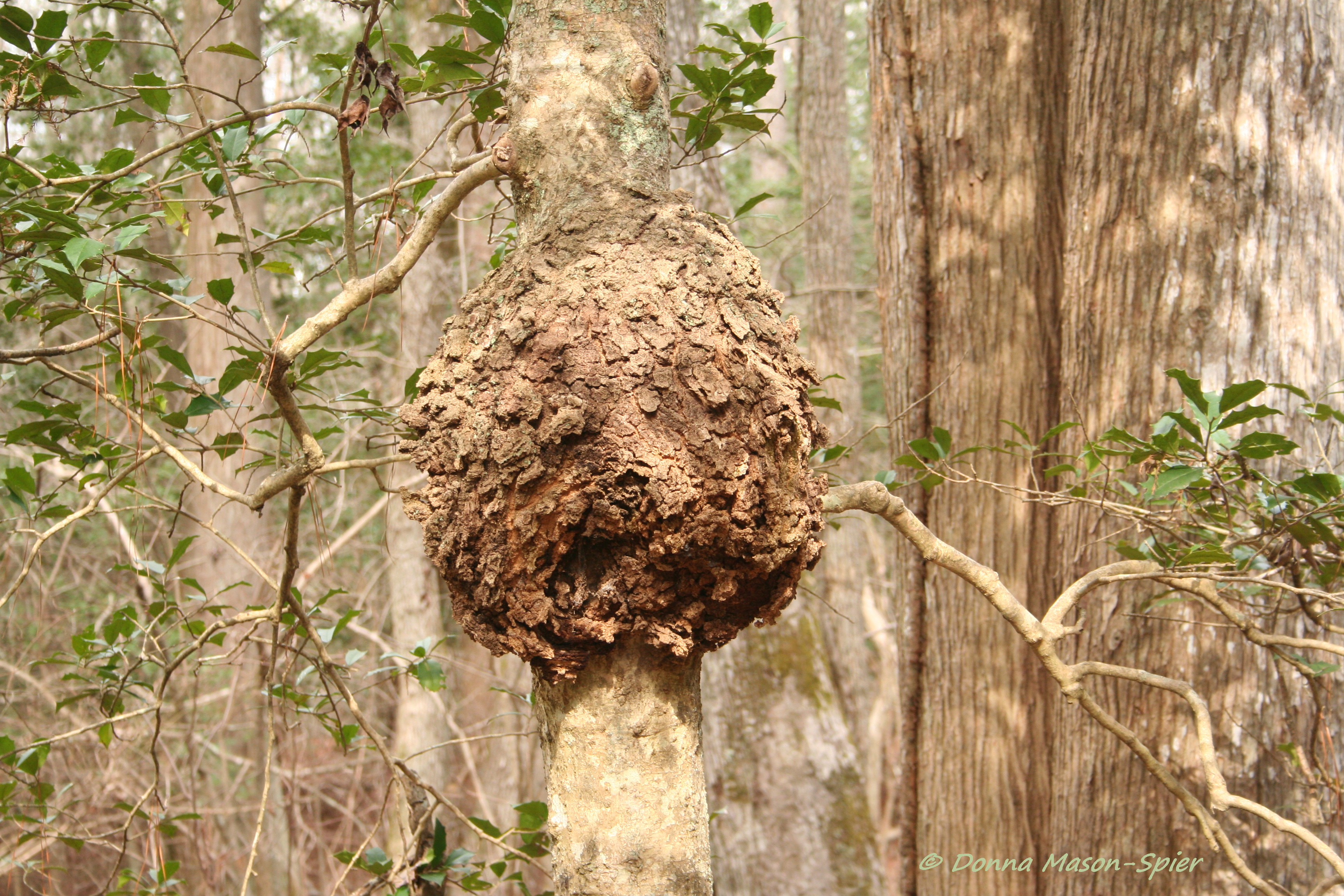
holly+burl_Nassawango,MD_©DonnaMason-Spier_D076429©

Red-Tailed Hawk
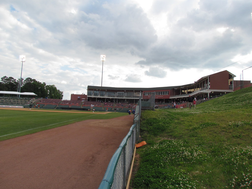
Beyond Right Field at Arthur W. Perdue Stadium -- Salisbury, MD, May 25, 2014

Western Tanager

AMGP_2013-04-29_IRONSSTARD_0026C
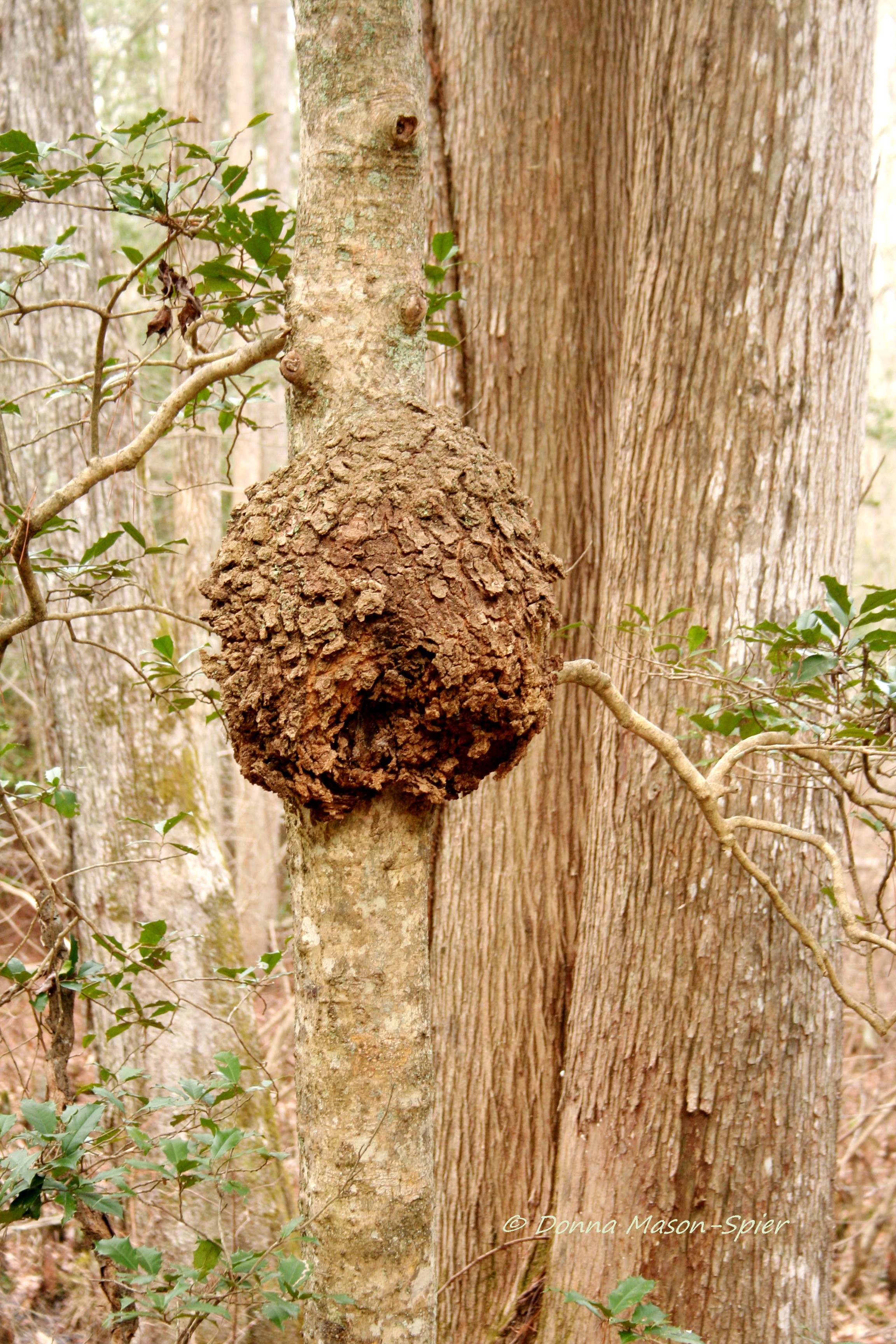
holly+burl_Nassawango,MD_©DonnaMason-Spier_D076428©a

River View
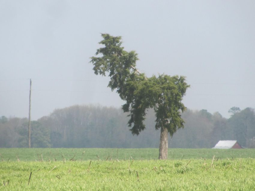
Llama or Dog?
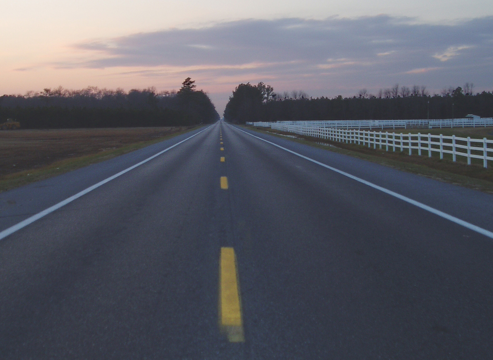
Highway 54, the Line Road
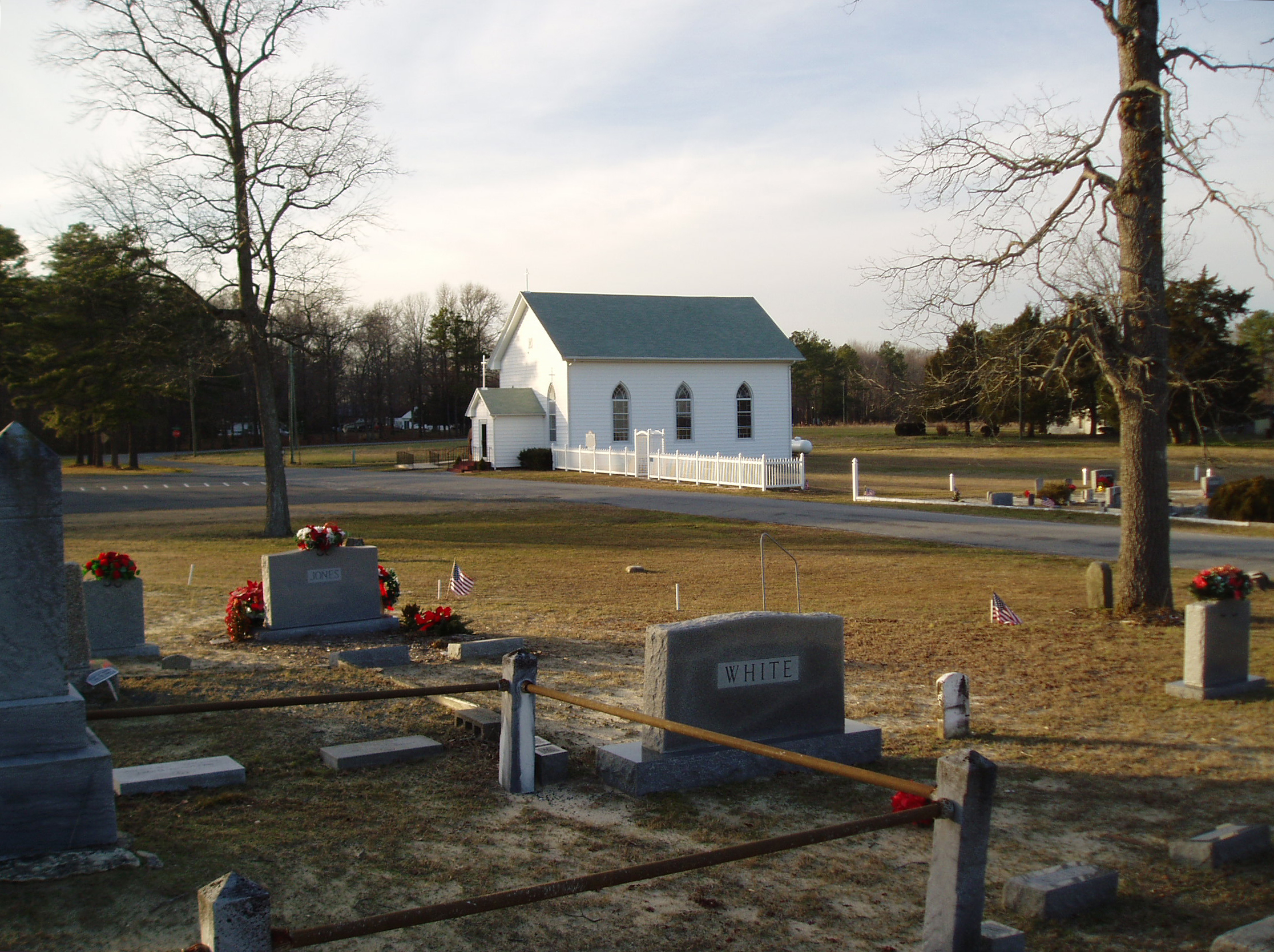
Line U.M. Church

AMGP_2013-04-29_IRONSSTARD_0045C

AMGP_2013-04-29_IRONSSTARD_0053C

AMGP_2013-04-29_IRONSSTARD_0069C

To the Third-Base Lower Walkway at Arthur W. Perdue Stadium -- Salisbury, MD, May 25, 2014
Left to Home at Arthur W. Perdue Stadium -- Salisbury, MD, May 25, 2014

Home to Left at Arthur W. Perdue Stadium -- Salisbury, MD, May 25, 2014

Third to Center at Arthur W. Perdue Stadium -- Salisbury, MD, May 25, 2014

Berlin field

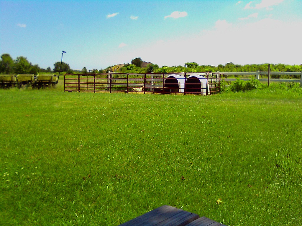
Pig farm
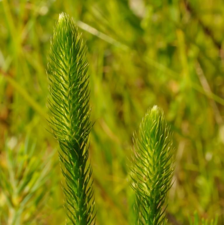
Bog Lycopodium

Crazy eastern shore sunset tonight on our way down to Cape Charles. It looked like the horizon was on fire!
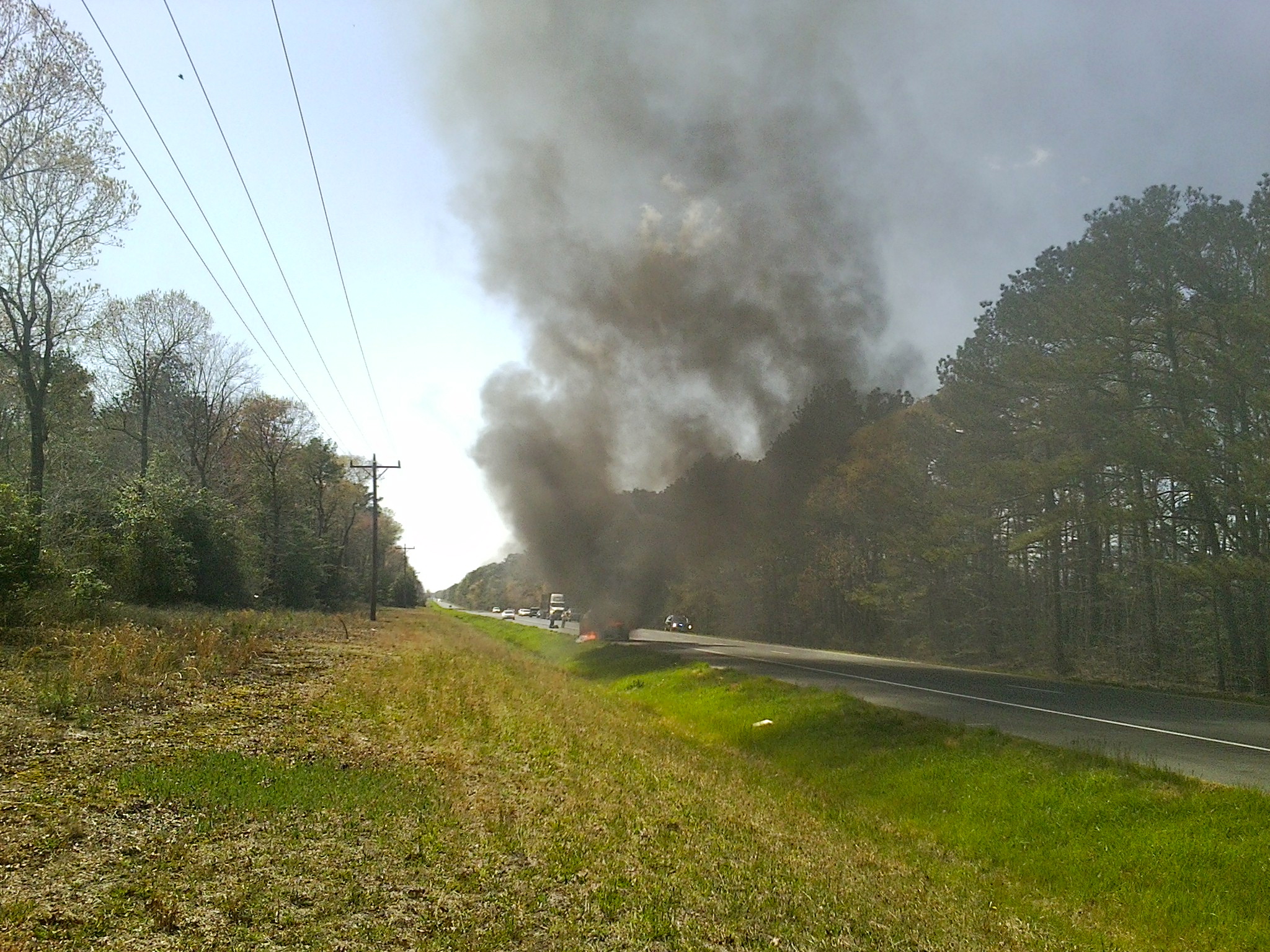
MD Route 50 Truck Fire
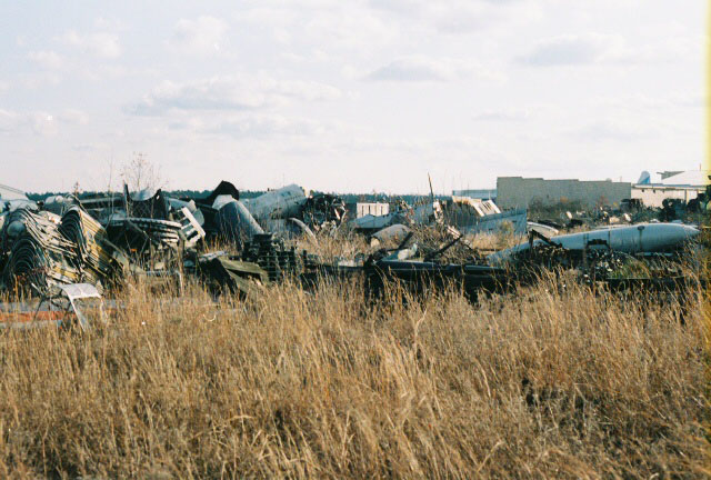
AT-6 Texan Boneyard
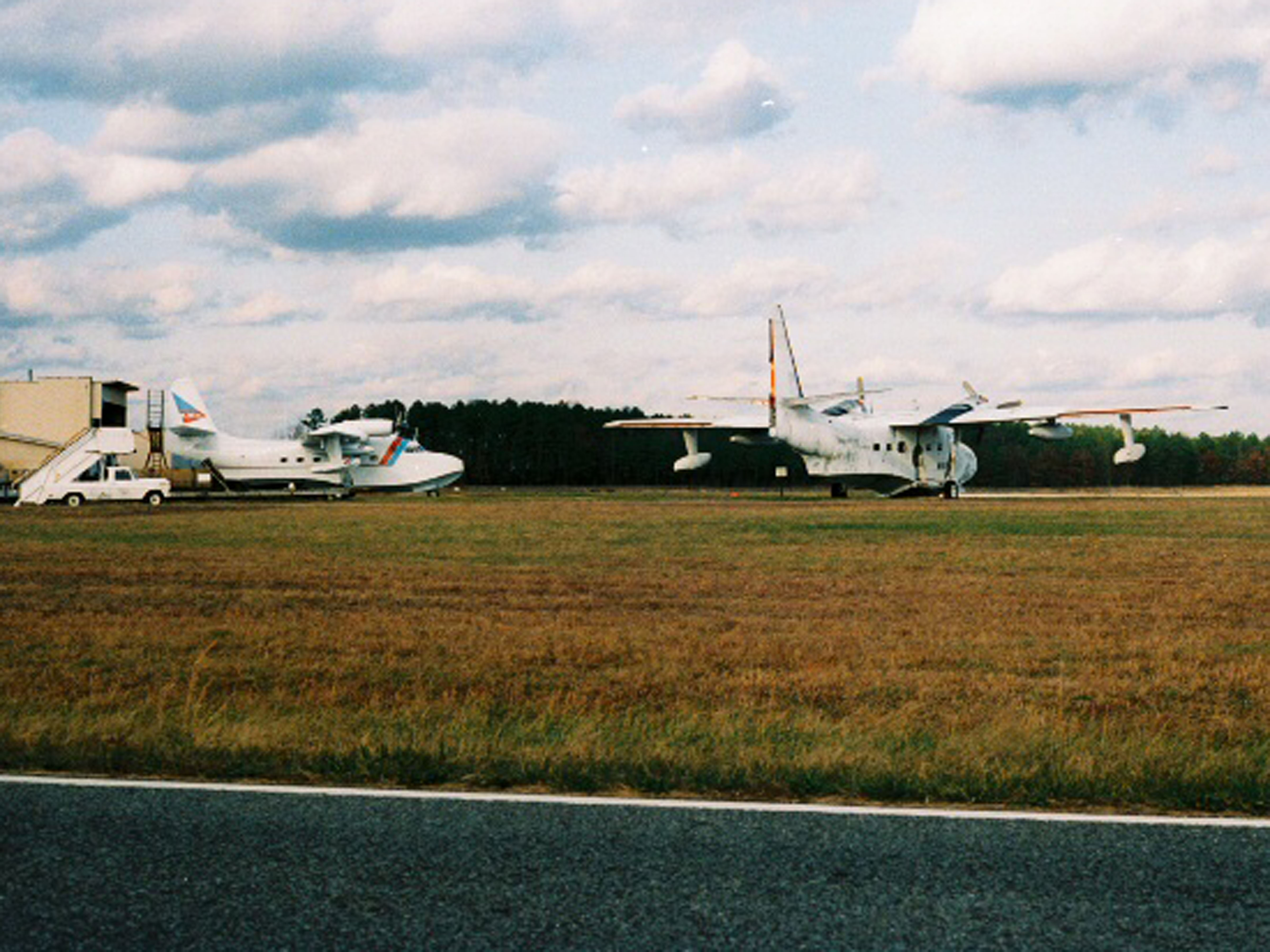
Salisbury-Wicomico County Airport Maryland.
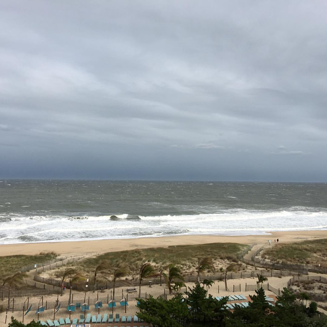
Vacation at Ocean City. Million dollar view. #beach #maryland

Bear Swamp Road

National Aquarium Stream Challenge
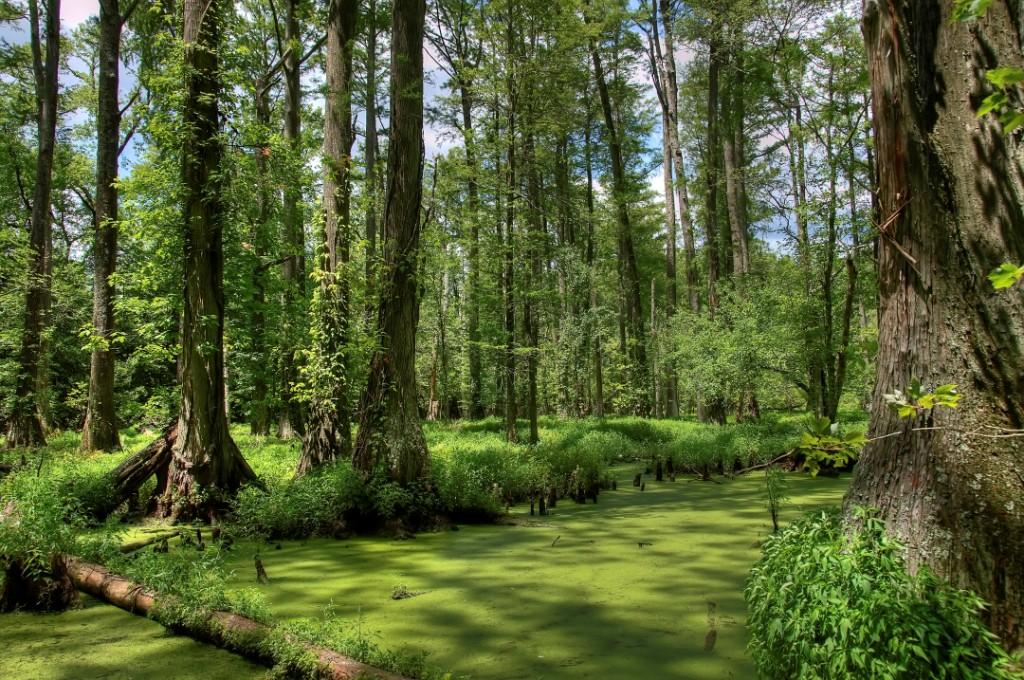
Maryland's Best Cypress Swamp - 2

Maryland's Best Cypress Swamp - 1
Chesapeake Bay Farms dairy farm @ Berlin, MD

National Aquarium Stream Challenge

al's farm
Topographic Map of Mt Hermon Rd, Pittsville, MD, USA
Find elevation by address:

Places near Mt Hermon Rd, Pittsville, MD, USA:
14, Willards
Willards
W Holland Ave, Willards, MD, USA
Timmonstown Rd, Berlin, MD, USA
Wango Rd, Parsonsburg, MD, USA
Waste Gate Road
Whaleyville
4, Pittsburg
Argyle Dr, Parsonsburg, MD, USA
Arvey Rd, Parsonsburg, MD, USA
33030 Old Ocean City Rd
Parsonsburg
7338 Parsonsburg Rd
Sheppards Crossing Rd, Whaleyville, MD, USA
33250 Dagsboro Rd
7815 Parsonsburg Rd
8905 Logtown Rd
Parsonsburg Road
Pintail Drive
Bethel Rd, Millsboro, DE, USA
Recent Searches:
- Elevation of Corso Fratelli Cairoli, 35, Macerata MC, Italy
- Elevation of Tallevast Rd, Sarasota, FL, USA
- Elevation of 4th St E, Sonoma, CA, USA
- Elevation of Black Hollow Rd, Pennsdale, PA, USA
- Elevation of Oakland Ave, Williamsport, PA, USA
- Elevation of Pedrógão Grande, Portugal
- Elevation of Klee Dr, Martinsburg, WV, USA
- Elevation of Via Roma, Pieranica CR, Italy
- Elevation of Tavkvetili Mountain, Georgia
- Elevation of Hartfords Bluff Cir, Mt Pleasant, SC, USA