Elevation of Mt Hebron Rd, Lancaster, KY, USA
Location: United States > Kentucky > Garrard County > Lancaster >
Longitude: -84.609034
Latitude: 37.7153839
Elevation: 284m / 932feet
Barometric Pressure: 98KPa
Elevation Map:
Satellite Map:
Related Photos:

Big Sur, CA

View of East Family Brethren's Shop & East Family Dwelling
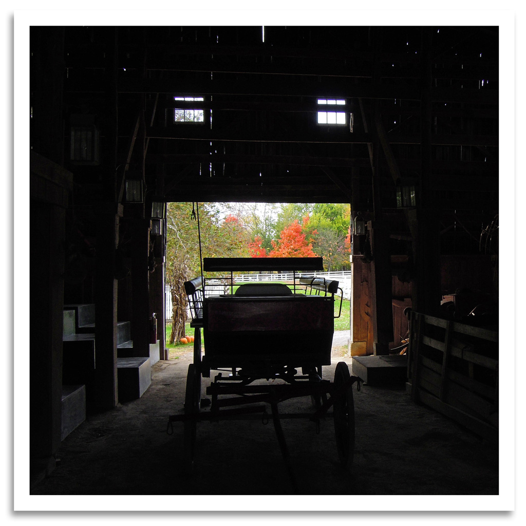
Shaker Barn
Barn View

View from the fourth floor... #EastFamilyDwelling #Bike Trek to Shakertown
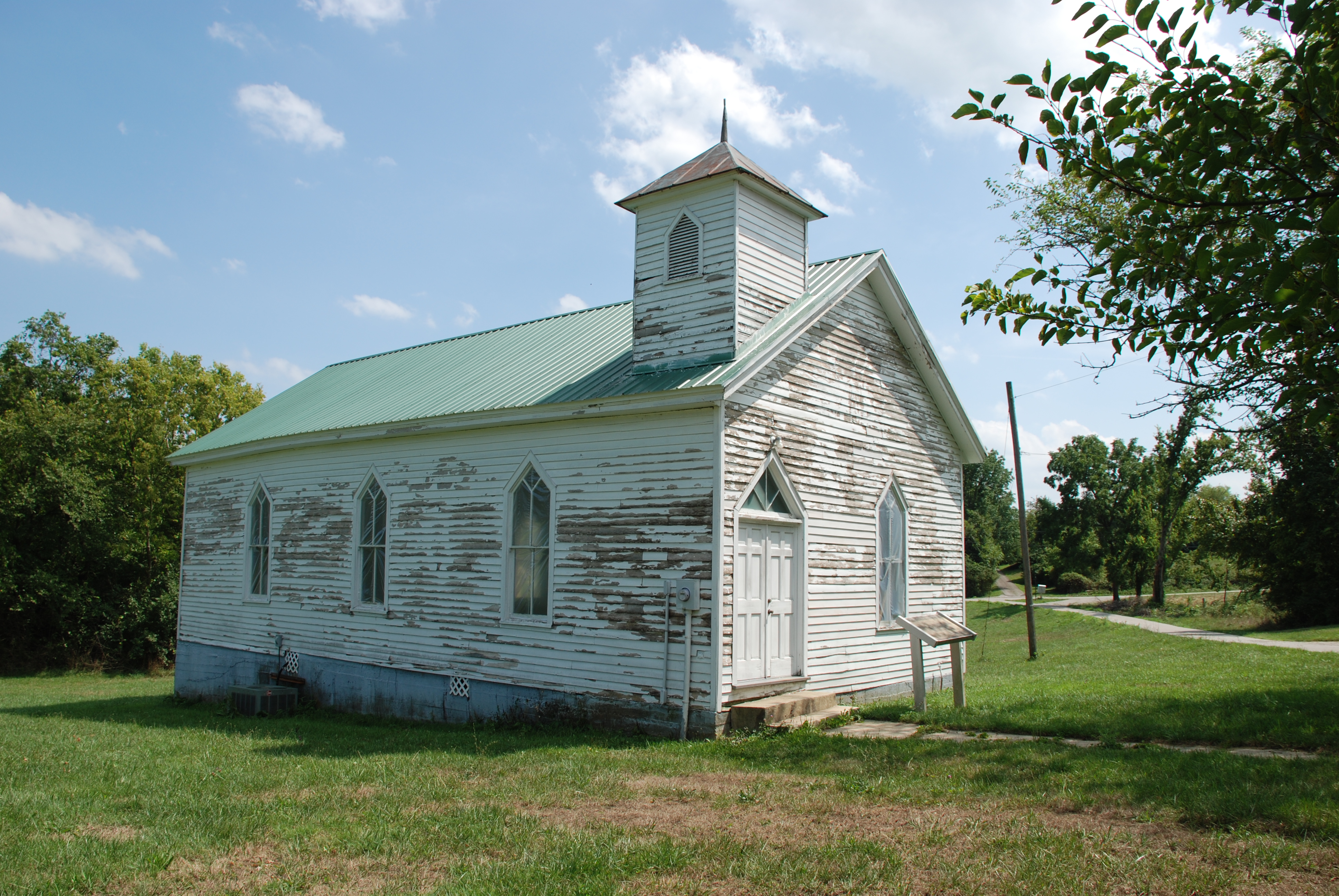
Olde Hall Church
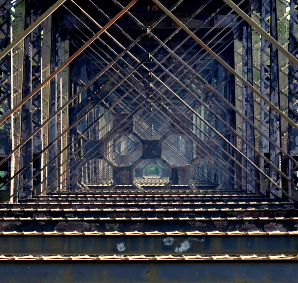
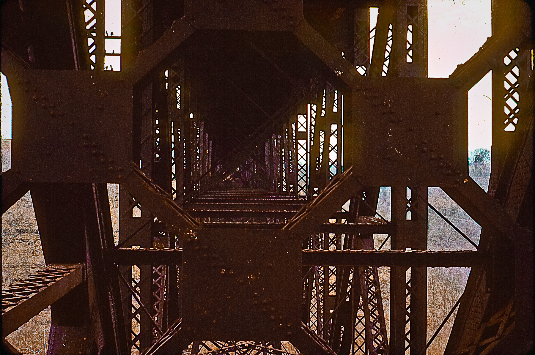
high bridge

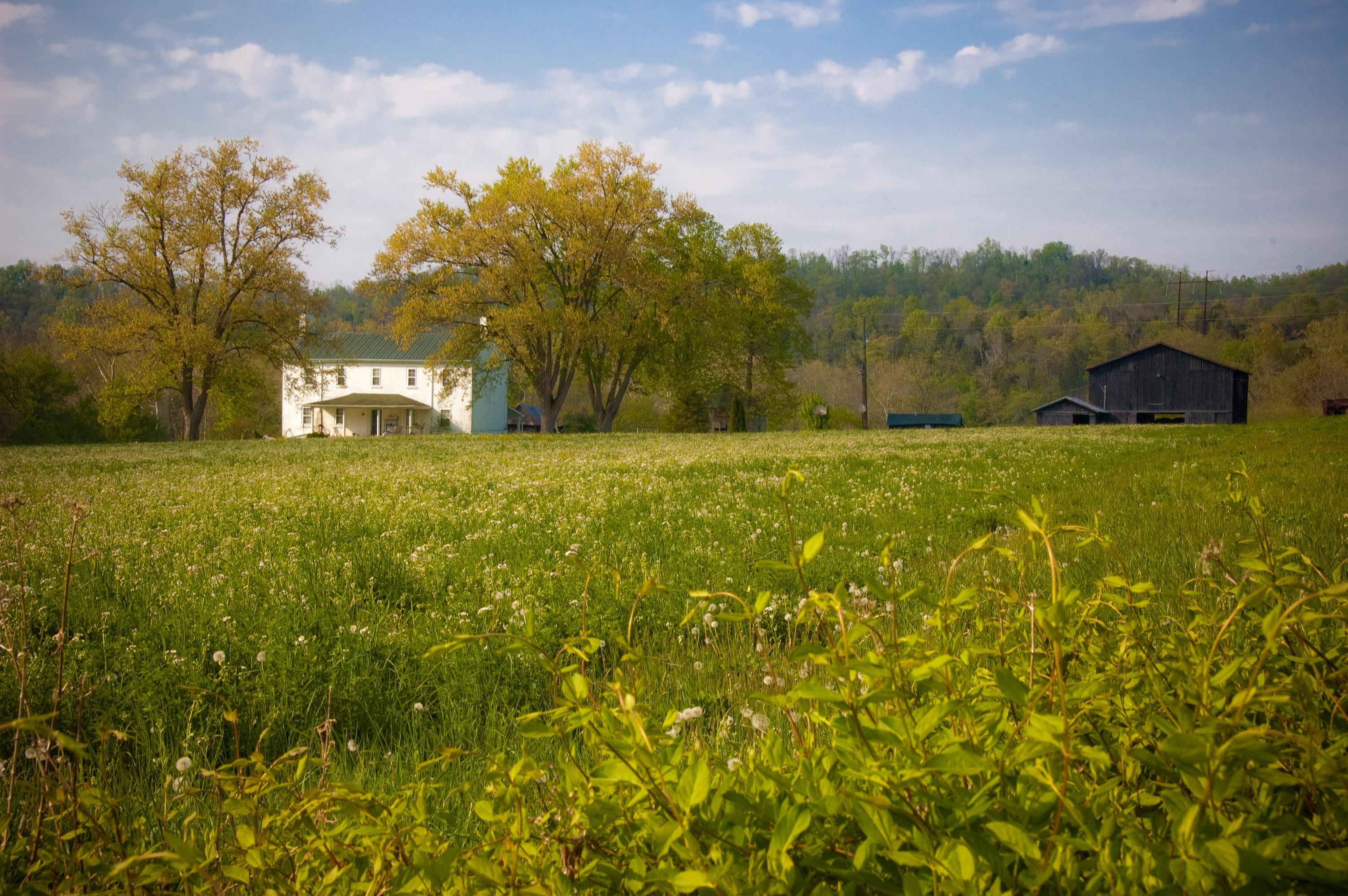
Farmhouse - Clouds
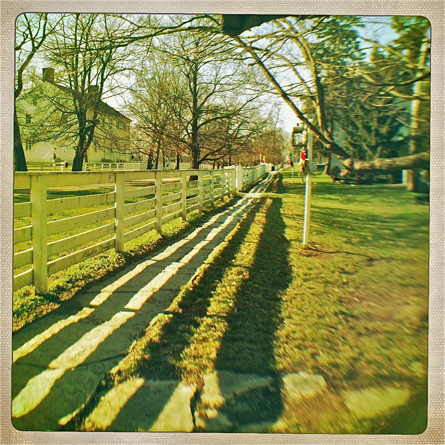
View from the East Family Dwelling

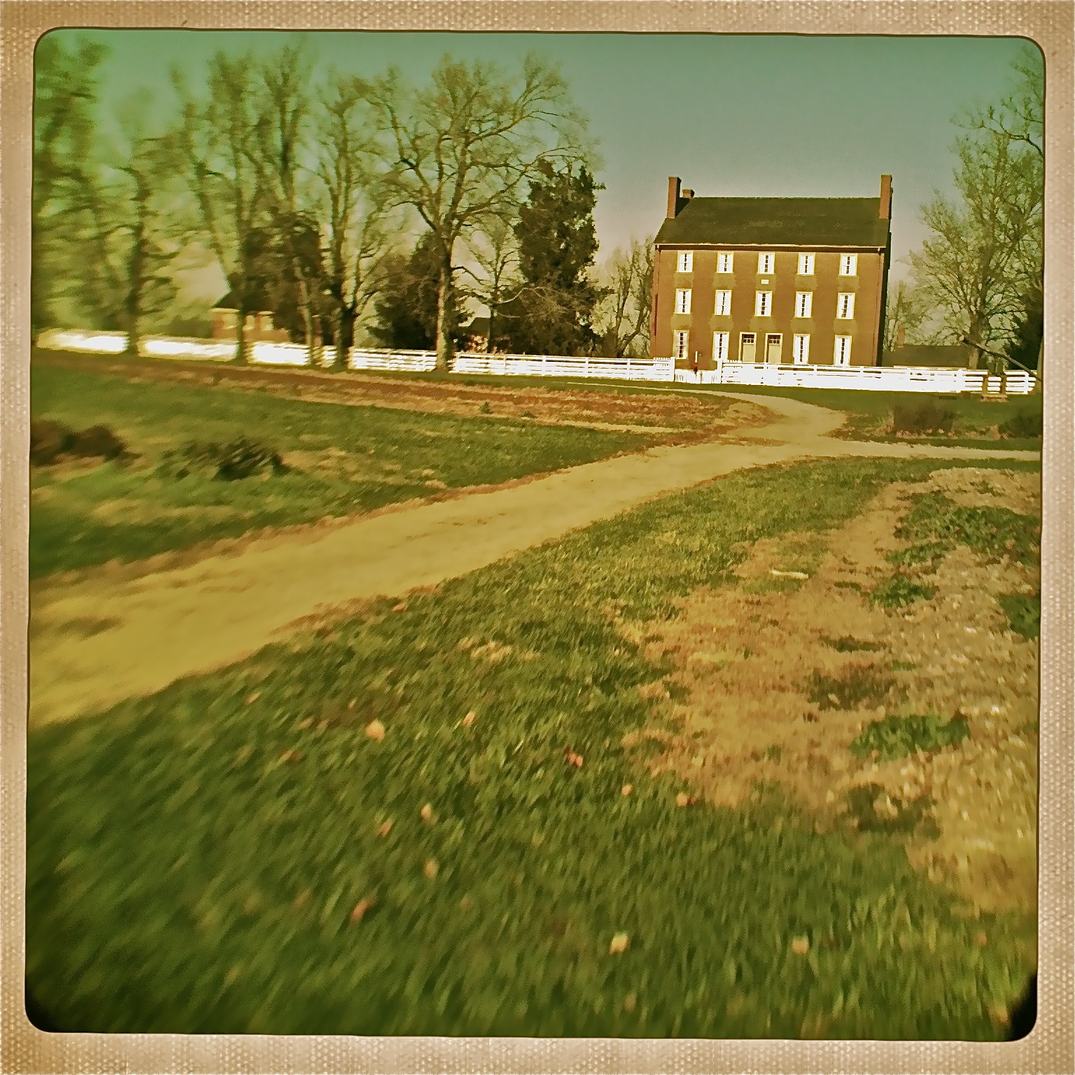
View of the East Family Dwelling
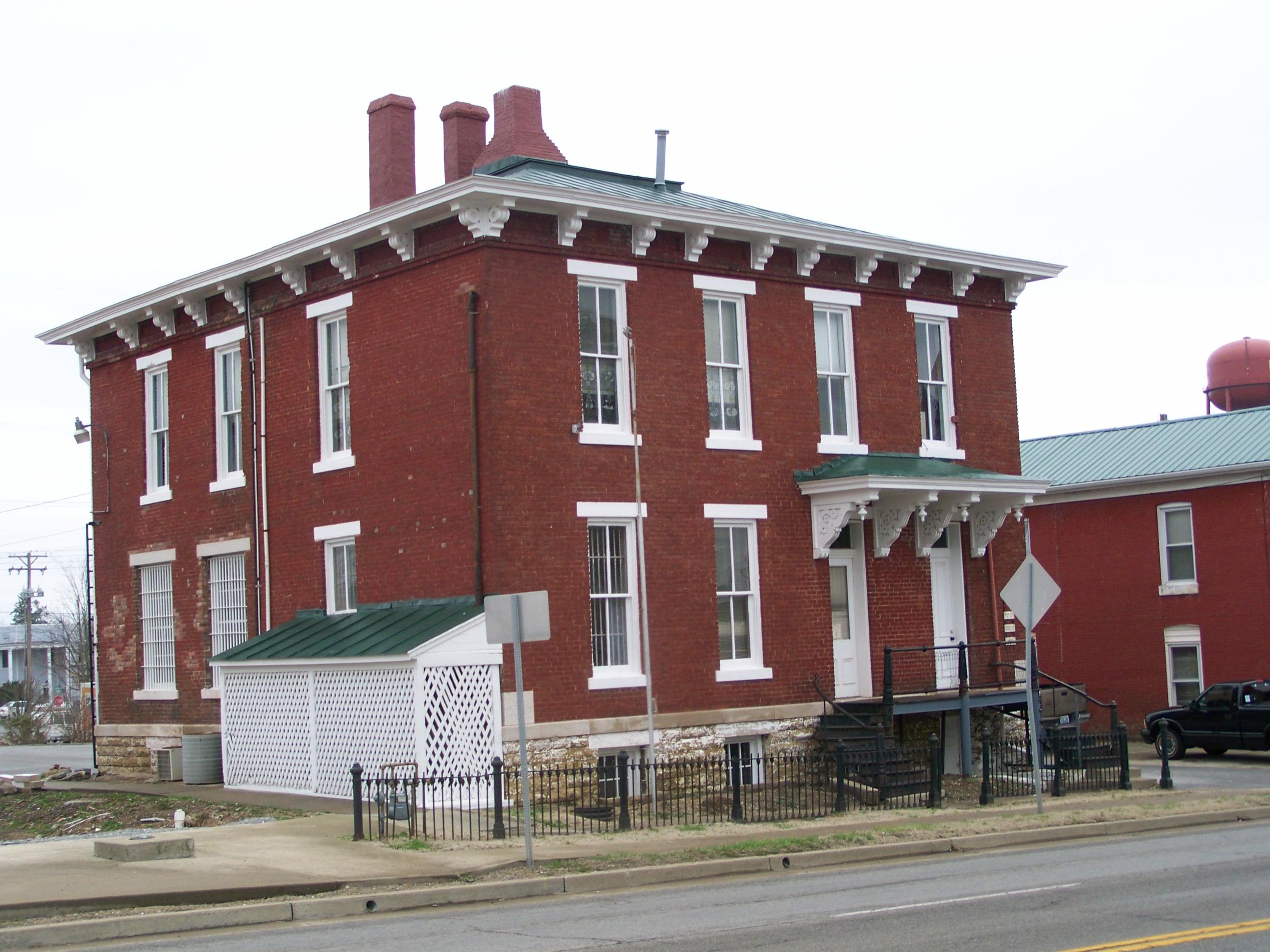
Garrard County Jail- Lancaster KY (1)
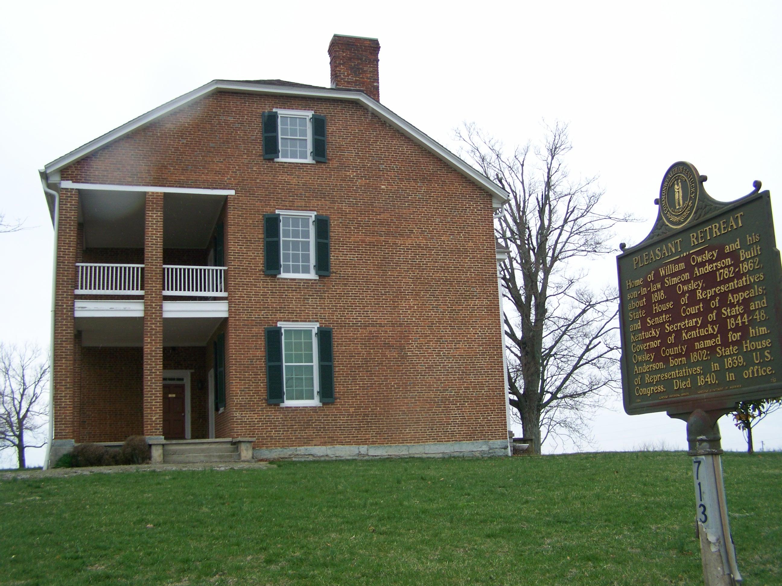
Governor William Owsley House- Lancaster KY (2)
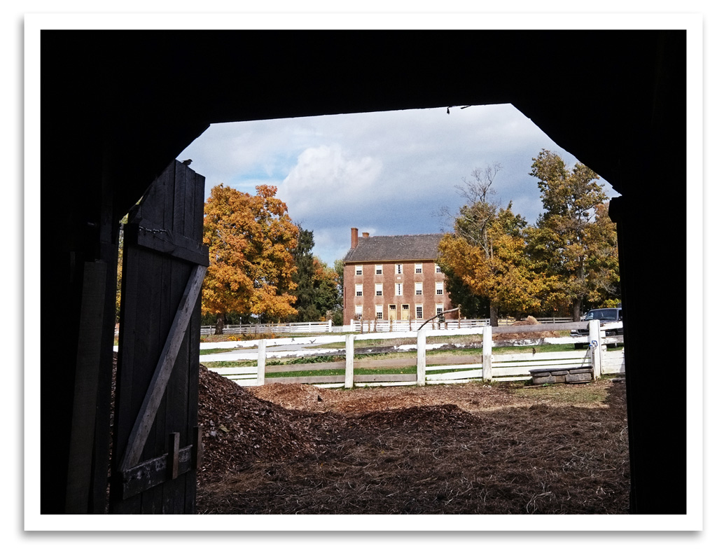
View of East Family Dwelling from the Barn
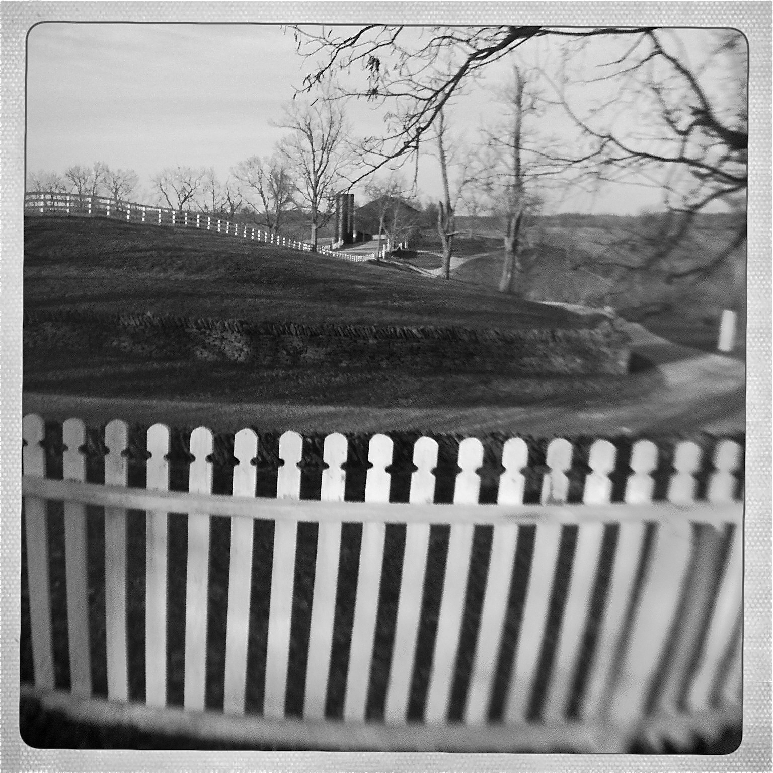
View from Shaker Graveyard
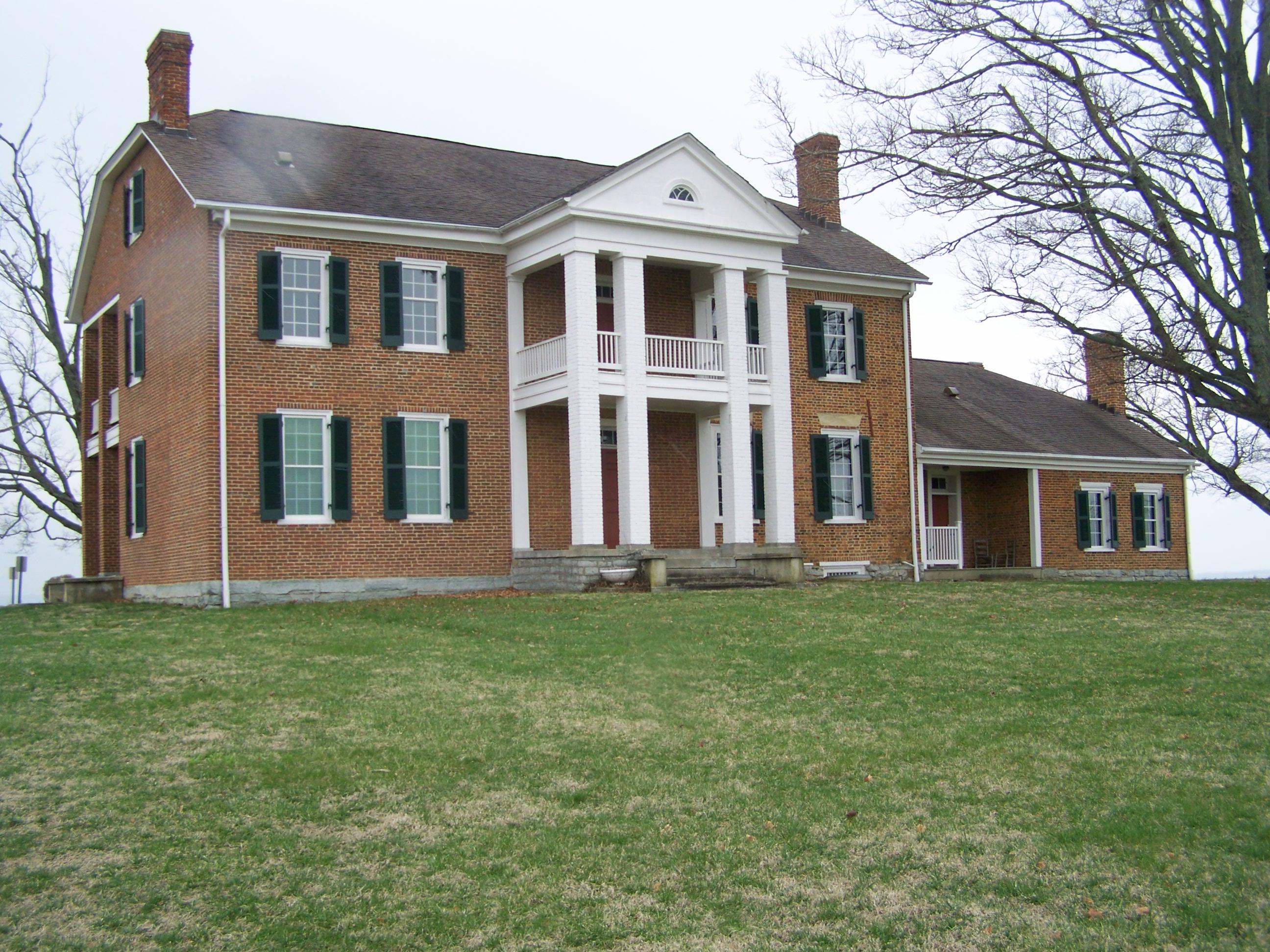
Governor William Owsley House- Lancaster KY (1)

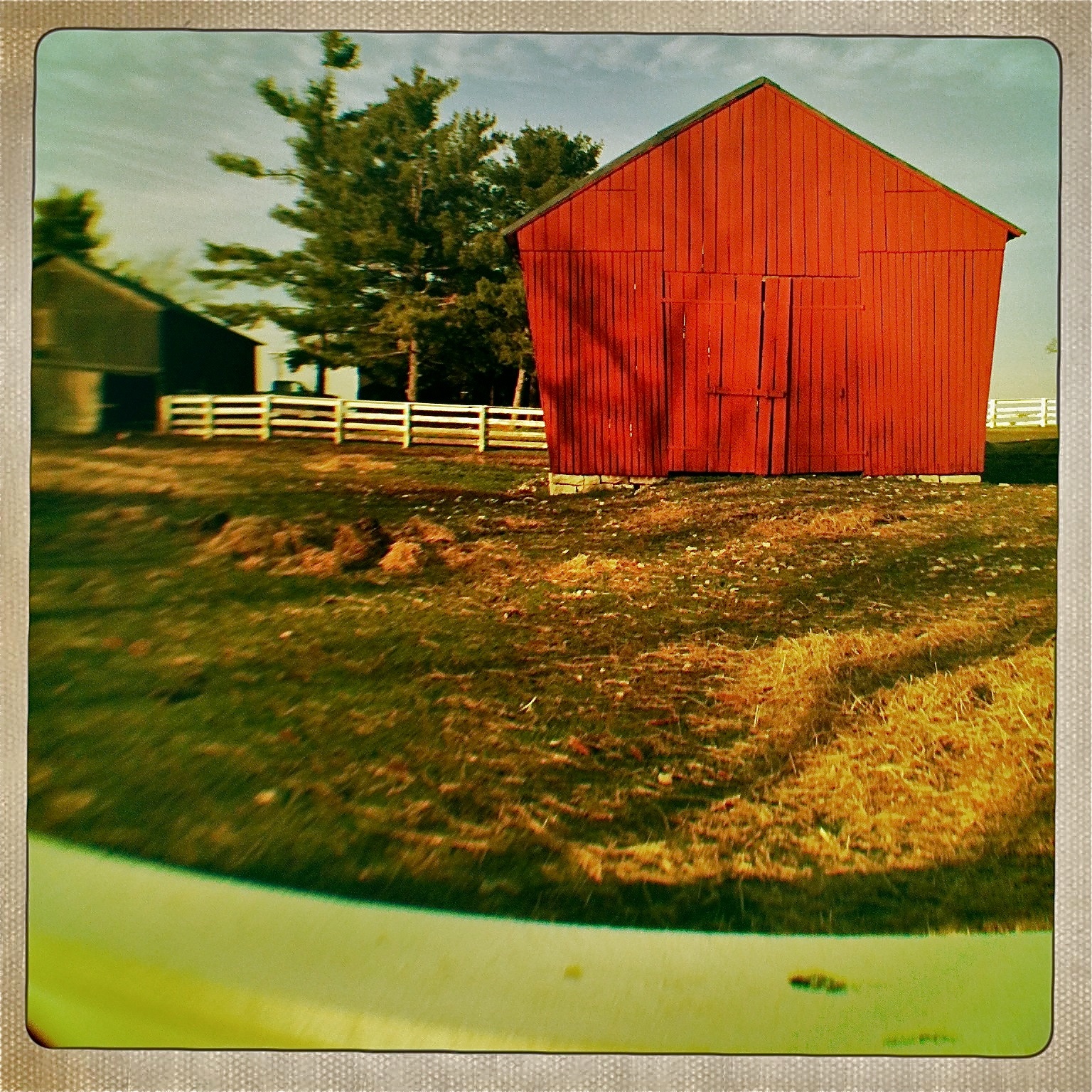
Barn Views
Flag Pole
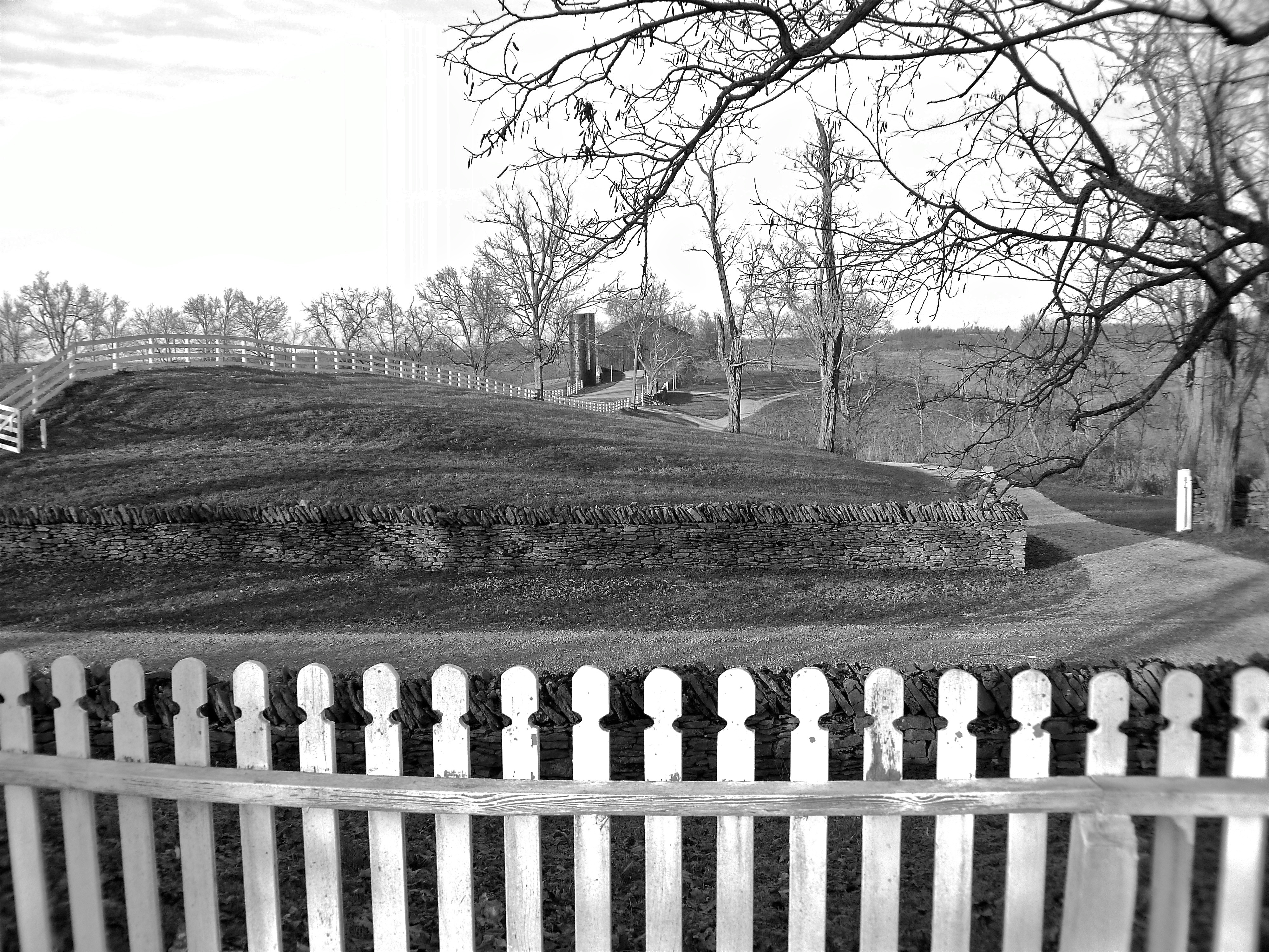
View from Shaker Graveyard

View From Shaker Graveyard

Window View
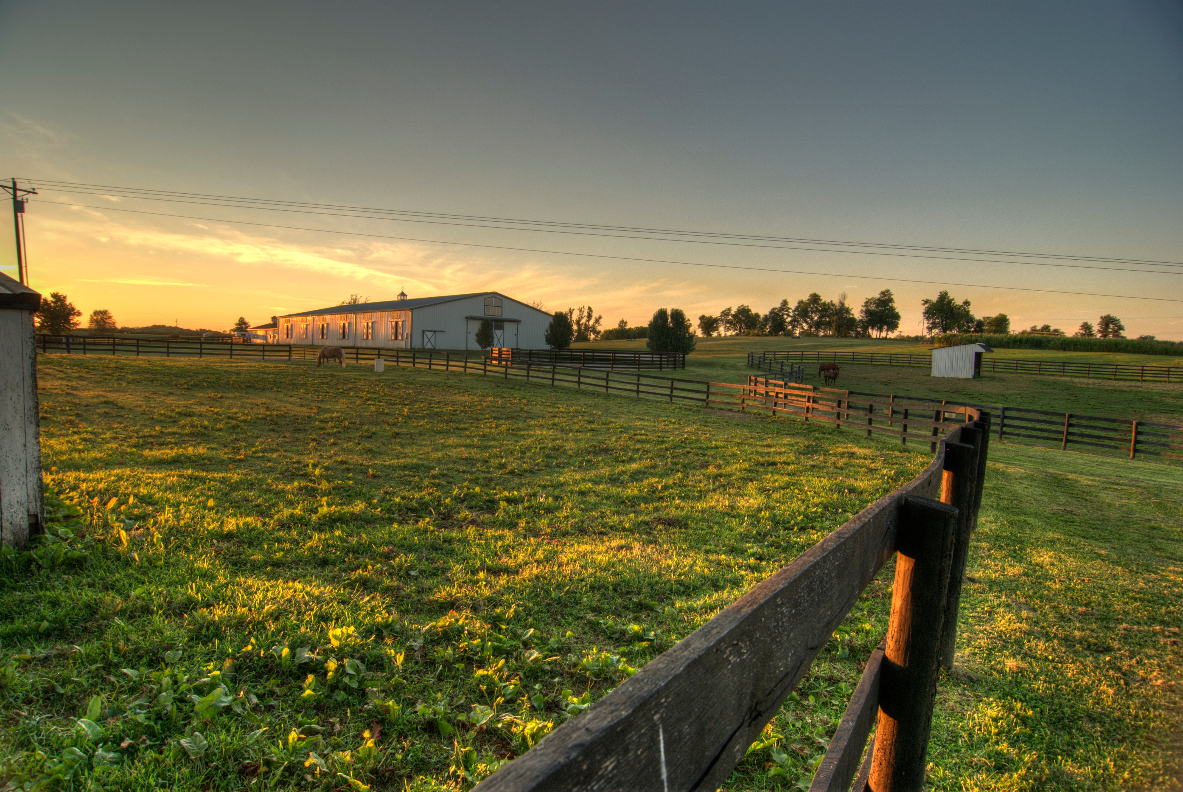
Horse Corrals at Sunset

Camp Nelson Cemetary

The Farm, LLC - Danvile Kentucky

The Farm, LLC - Danvile Kentucky

The Farm, LLC - Danvile Kentucky
quote pic
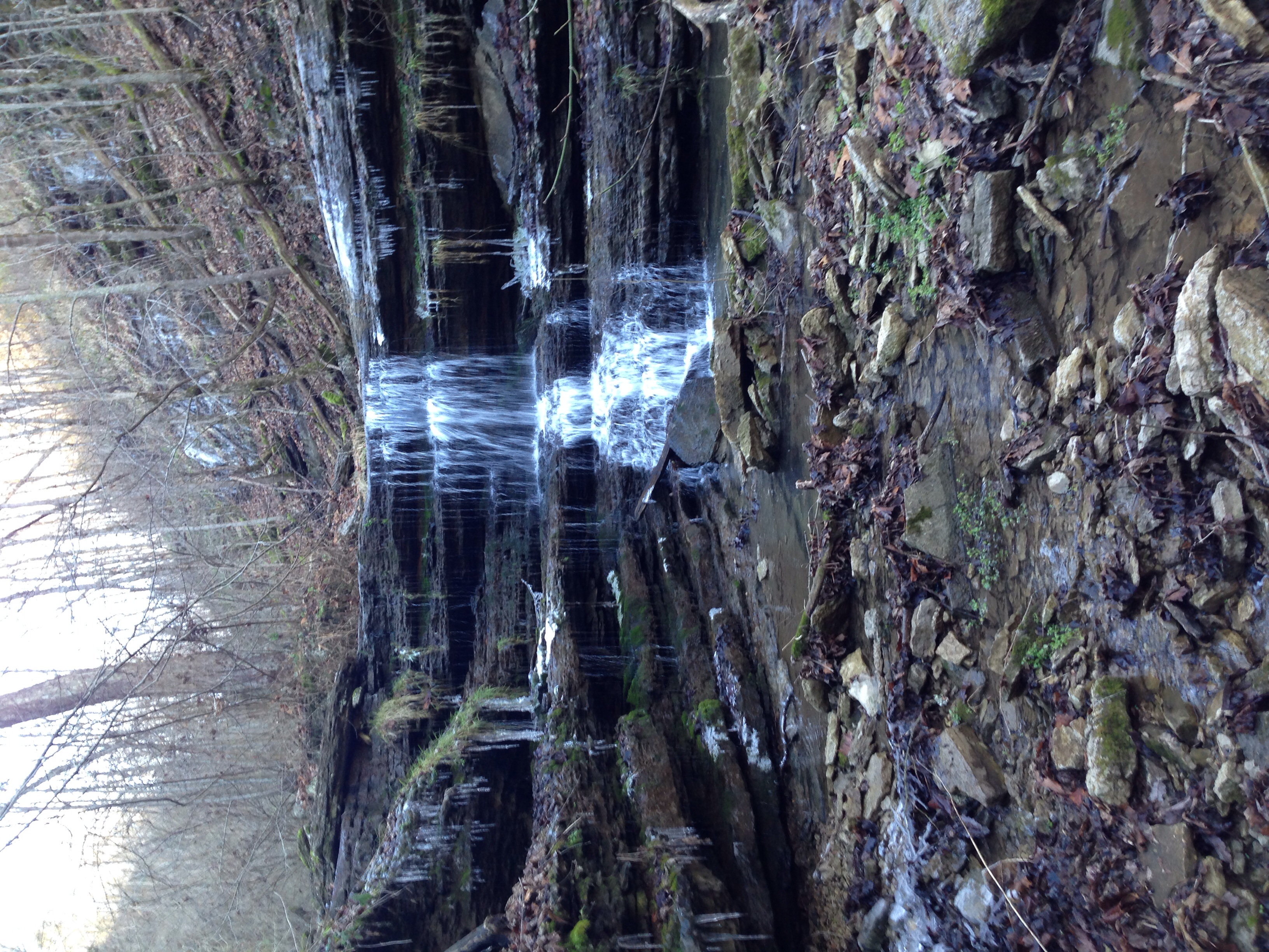
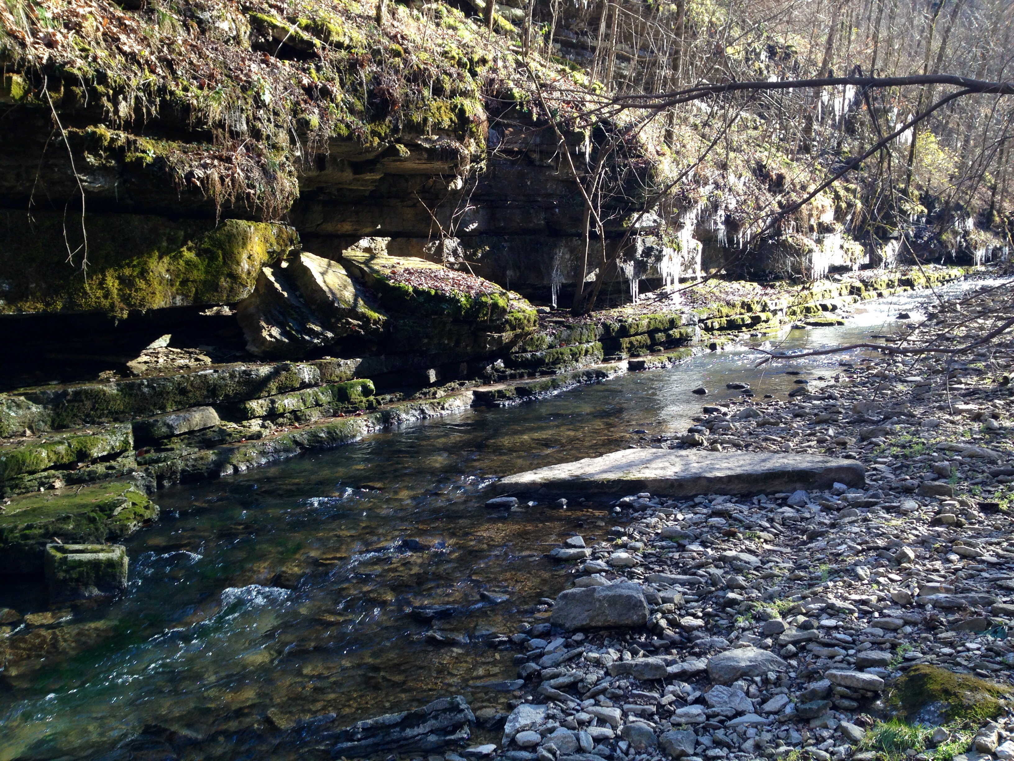
Below the Falls
Bare Tree

Little Hickman 4
Shaker Village
Corn Crib

Trees-Sky-Clouds
High Bridge
Kentucky-9158
Shaker Village

KY NorthFace 038
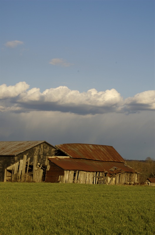
Barns and Clouds
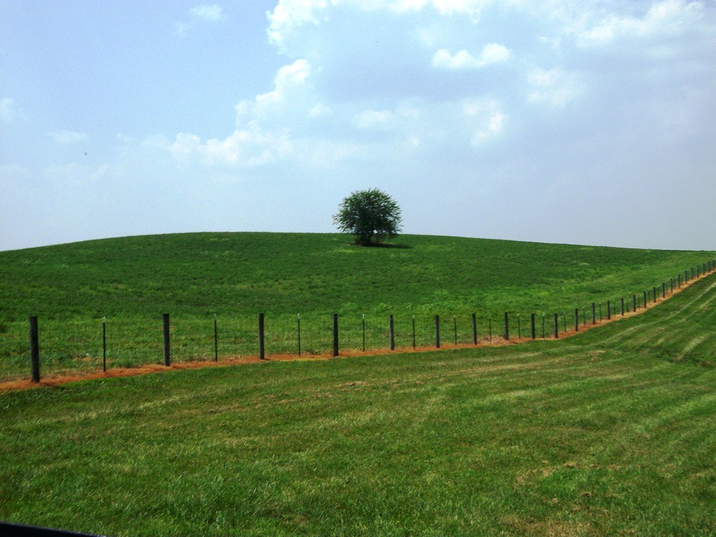
Hilltop Tree
Topographic Map of Mt Hebron Rd, Lancaster, KY, USA
Find elevation by address:

Places near Mt Hebron Rd, Lancaster, KY, USA:
34 Stephen Way
Lexington Rd, Lancaster, KY, USA
Chenault Bridge Rd, Lancaster, KY, USA
Garrard County
127 Maplewood Dr
Hill Court
Lancaster
Lakeview Point Rd, Harrodsburg, KY, USA
River Road
Hubble Rd, Stanford, KY, USA
43 Little Needmore Rd, Danville, KY, USA
Withers Lane
130 Academy Dr
130 Academy Dr
130 Academy Dr
130 Academy Dr
130 Academy Dr
Lancaster Rd, Stanford, KY, USA
Wilmore
Main St, Harrodsburg, KY, USA
Recent Searches:
- Elevation of Corso Fratelli Cairoli, 35, Macerata MC, Italy
- Elevation of Tallevast Rd, Sarasota, FL, USA
- Elevation of 4th St E, Sonoma, CA, USA
- Elevation of Black Hollow Rd, Pennsdale, PA, USA
- Elevation of Oakland Ave, Williamsport, PA, USA
- Elevation of Pedrógão Grande, Portugal
- Elevation of Klee Dr, Martinsburg, WV, USA
- Elevation of Via Roma, Pieranica CR, Italy
- Elevation of Tavkvetili Mountain, Georgia
- Elevation of Hartfords Bluff Cir, Mt Pleasant, SC, USA