Elevation of MS-, Pelahatchie, MS, USA
Location: United States > Mississippi > Rankin County >
Longitude: -89.790634
Latitude: 32.4420689
Elevation: 118m / 387feet
Barometric Pressure: 100KPa
Elevation Map:
Satellite Map:
Related Photos:
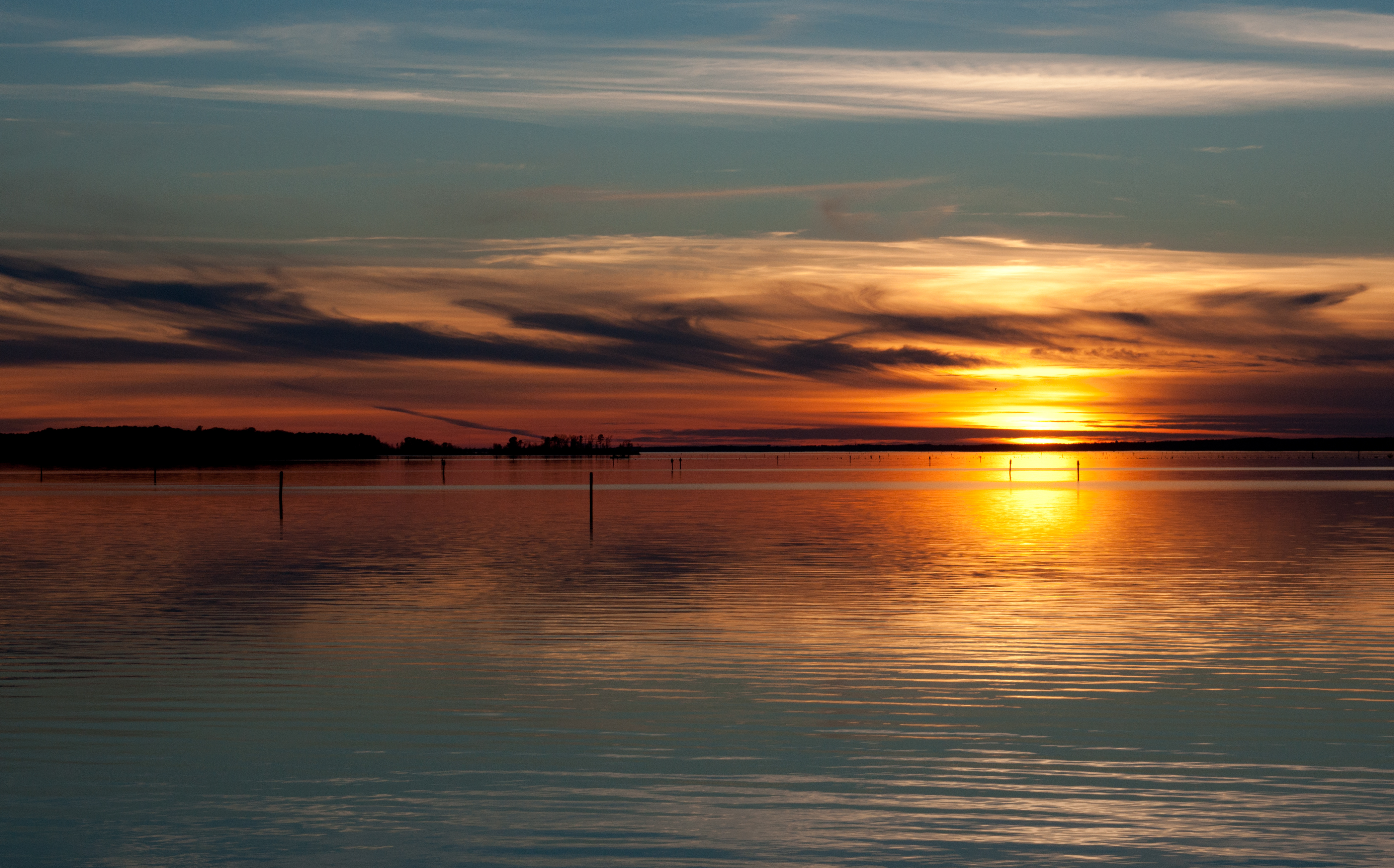
Lake Color

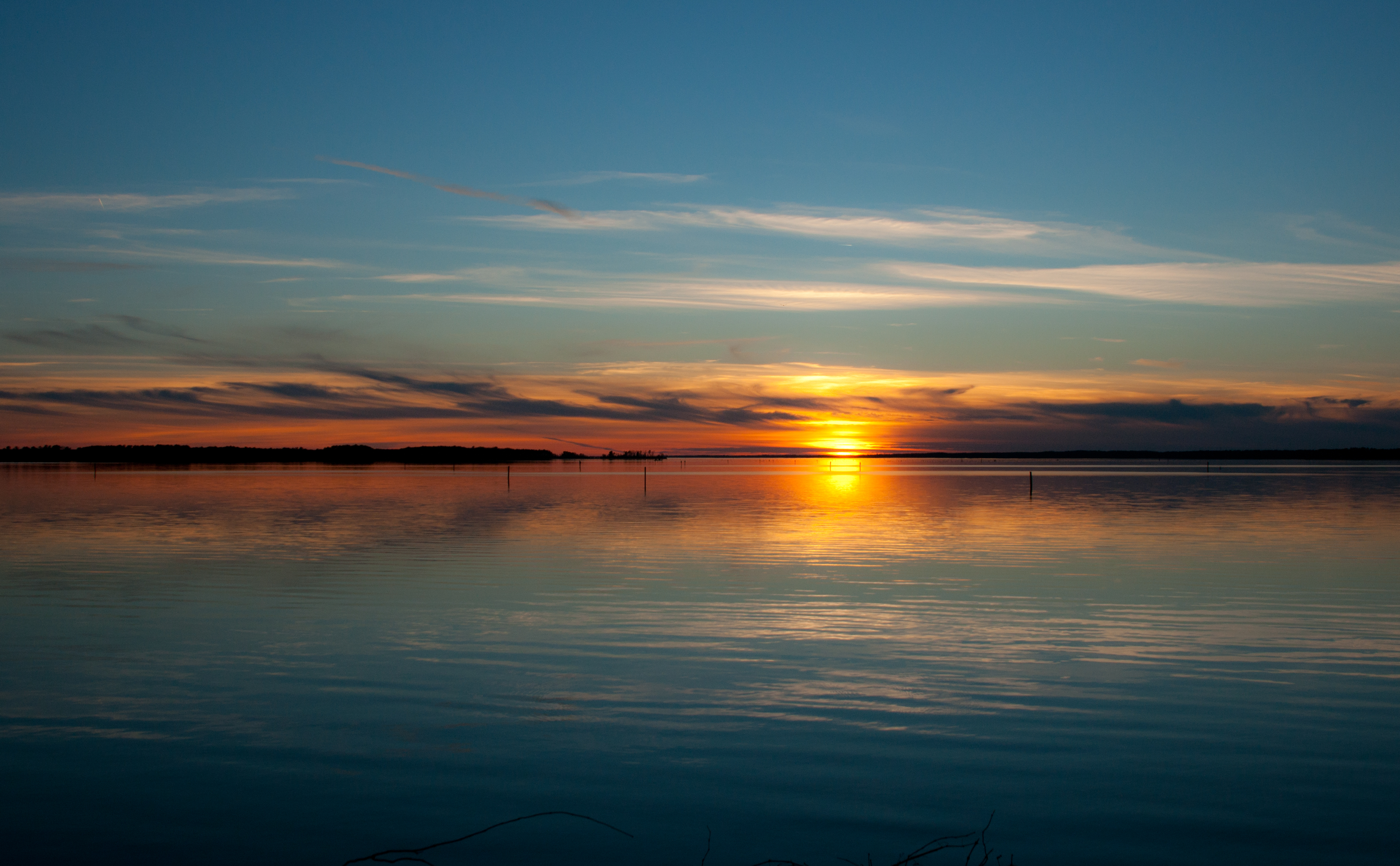
Evening at Ross Barnett
blue beauty

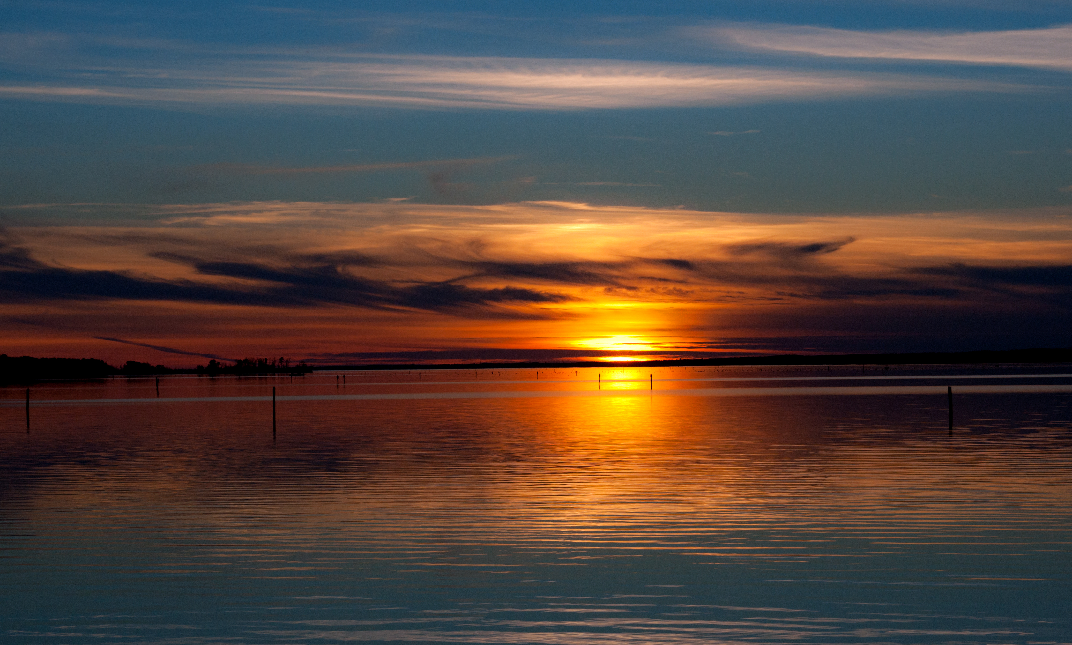
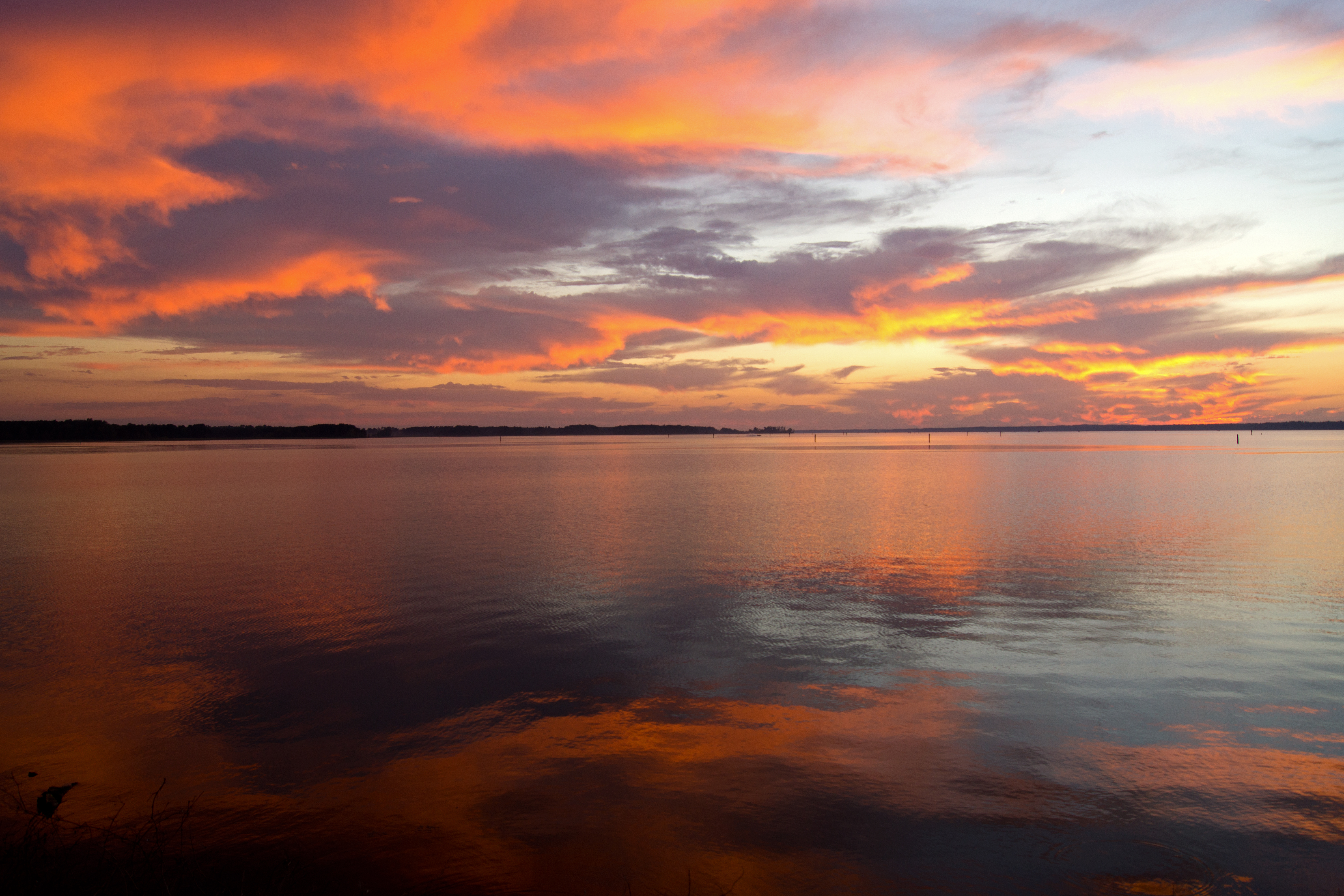
A sweeping sunset on the Ross Barnett Reservoir
Red and Blue
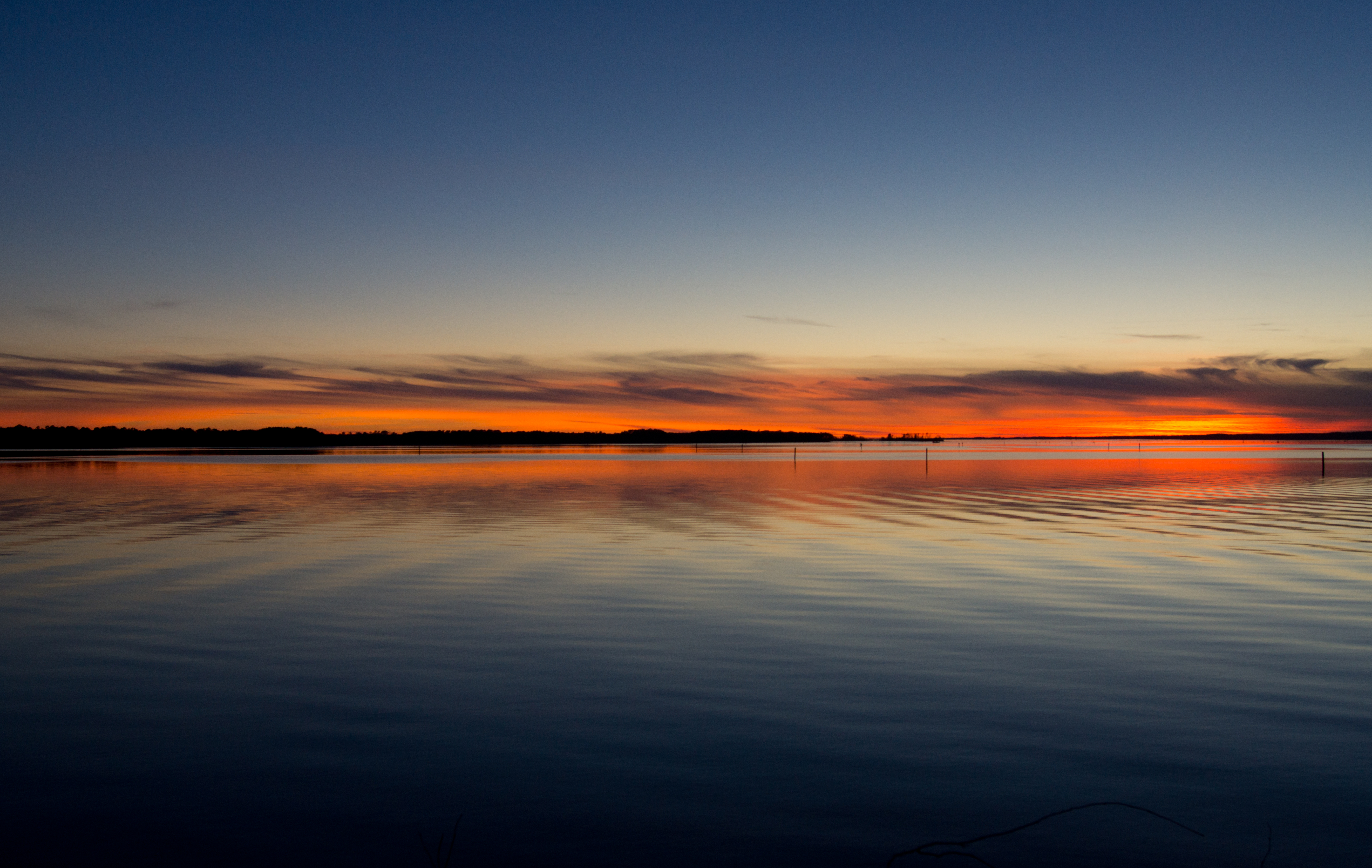
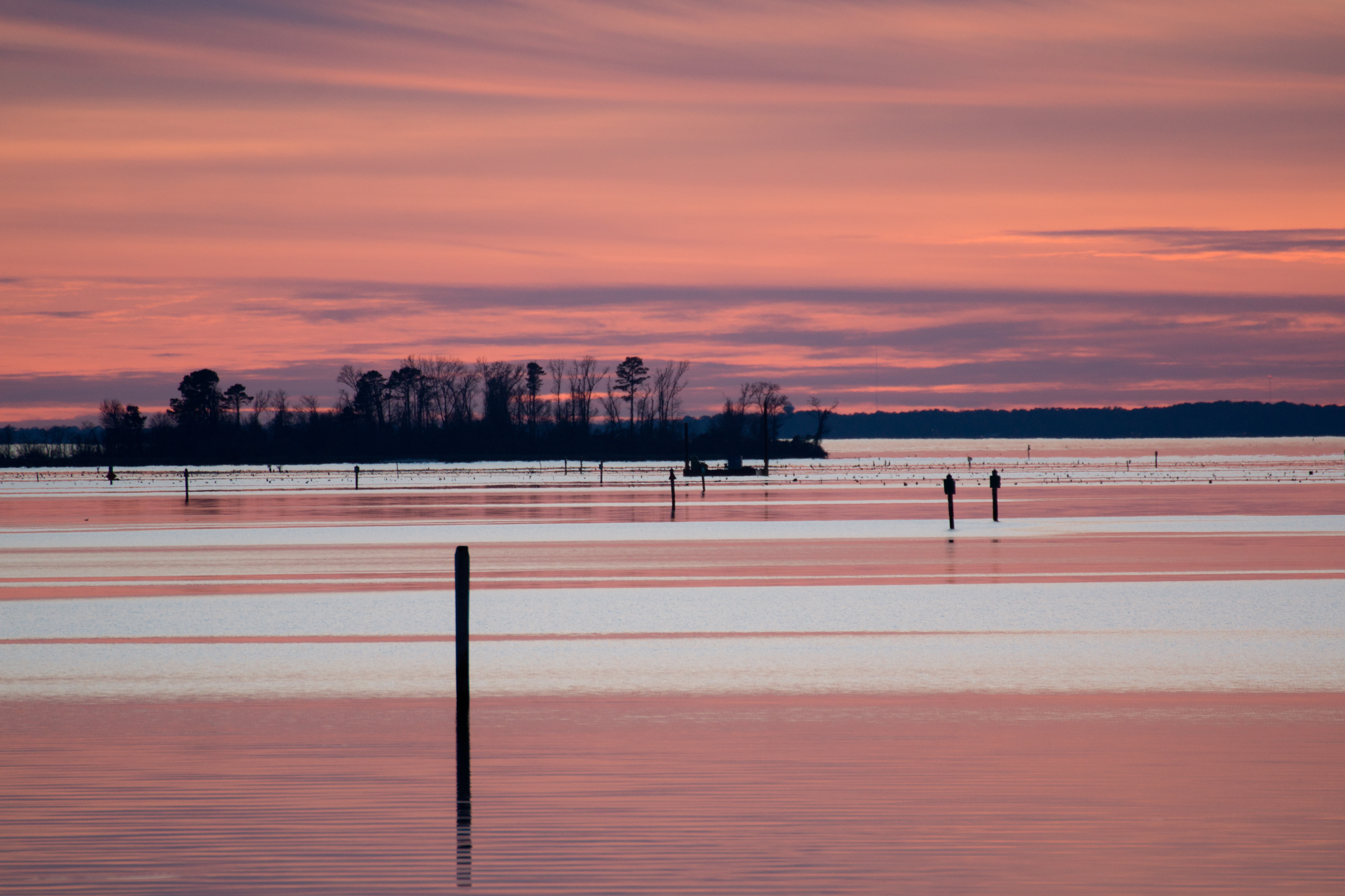
Lake Sunset
Sky Reflections
Lake Reflection

Sunset at Shadow Lake
Off-airport takeoff (Highway 25)
#Geocache
Yogi on the Lake, Pelahatchie, MS
Topographic Map of MS-, Pelahatchie, MS, USA
Find elevation by address:

Places near MS-, Pelahatchie, MS, USA:
Morton
Fannin Landing Cir, Brandon, MS, USA
3 Prong Rd, Brandon, MS, USA
Cowan Cove
56 Spillway Rd
801 Ratliff Ferry Rd
Church Road
Fannin Landing Circle
MS-, Brandon, MS, USA
10179 Us-80
895 Greenwood Chapel Rd
MS-25, Carthage, MS, USA
Forest Grove
Scott County
Forest
945 Ephesus Rd
Pleasant Hill Rd, Carthage, MS, USA
Hwy 16 W, Carthage, MS, USA
13626 Us-80
Walnut Grove
Recent Searches:
- Elevation of Corso Fratelli Cairoli, 35, Macerata MC, Italy
- Elevation of Tallevast Rd, Sarasota, FL, USA
- Elevation of 4th St E, Sonoma, CA, USA
- Elevation of Black Hollow Rd, Pennsdale, PA, USA
- Elevation of Oakland Ave, Williamsport, PA, USA
- Elevation of Pedrógão Grande, Portugal
- Elevation of Klee Dr, Martinsburg, WV, USA
- Elevation of Via Roma, Pieranica CR, Italy
- Elevation of Tavkvetili Mountain, Georgia
- Elevation of Hartfords Bluff Cir, Mt Pleasant, SC, USA