Elevation of MS-, Boyle, MS, USA
Location: United States > Mississippi > Bolivar County > Boyle >
Longitude: -90.795738
Latitude: 33.7038629
Elevation: 40m / 131feet
Barometric Pressure: 101KPa
Elevation Map:
Satellite Map:
Related Photos:
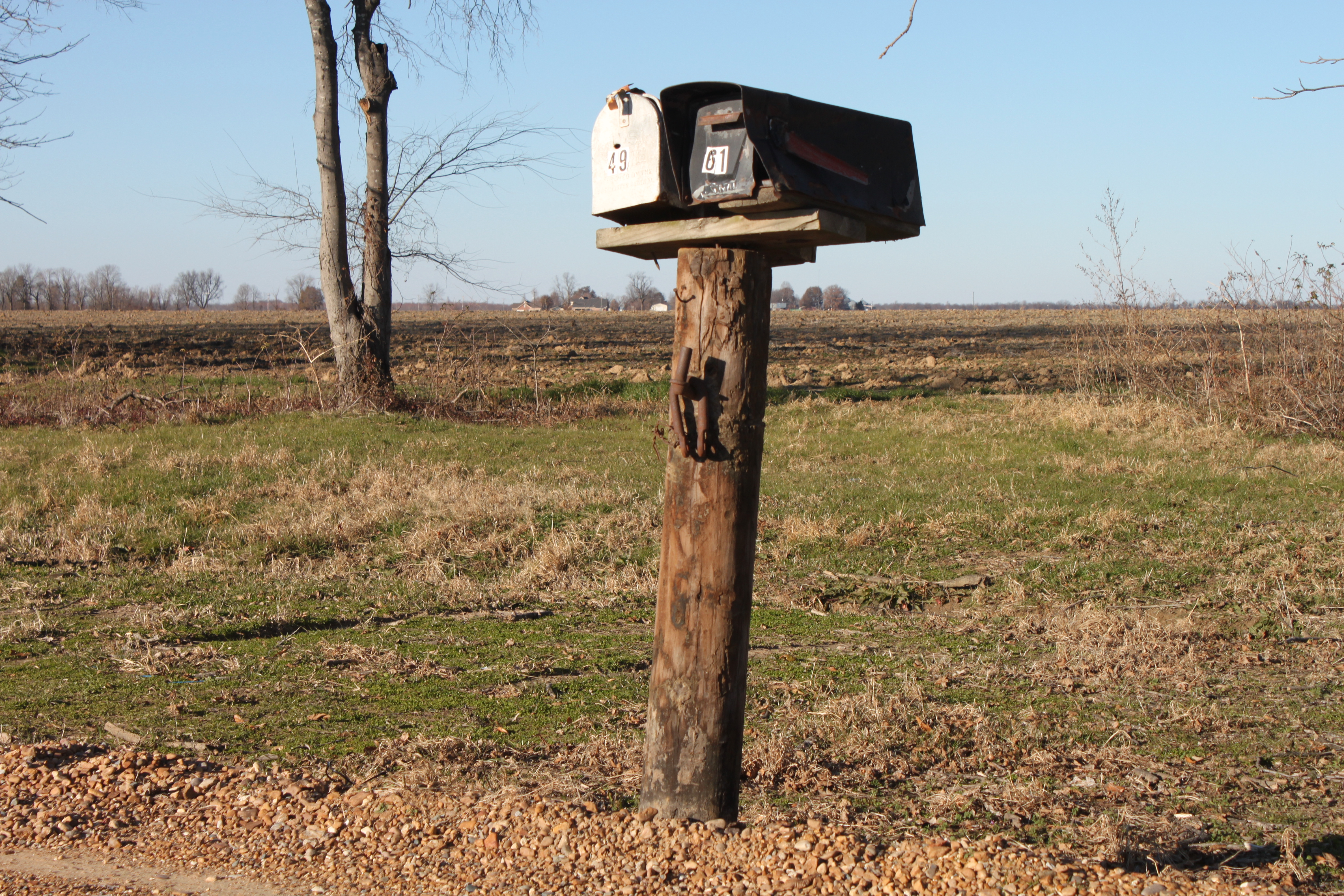
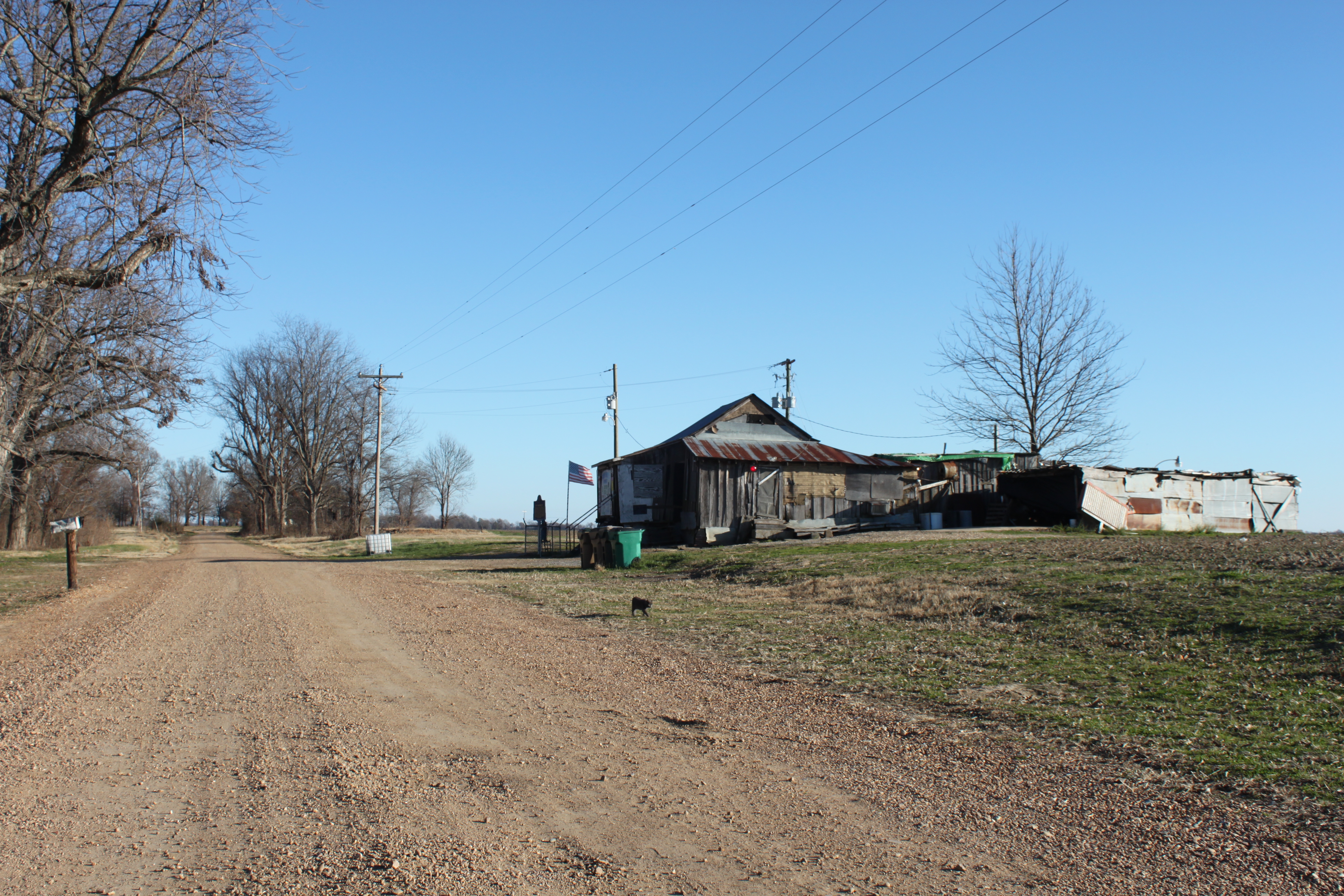
Po' Monkey's Mailbox
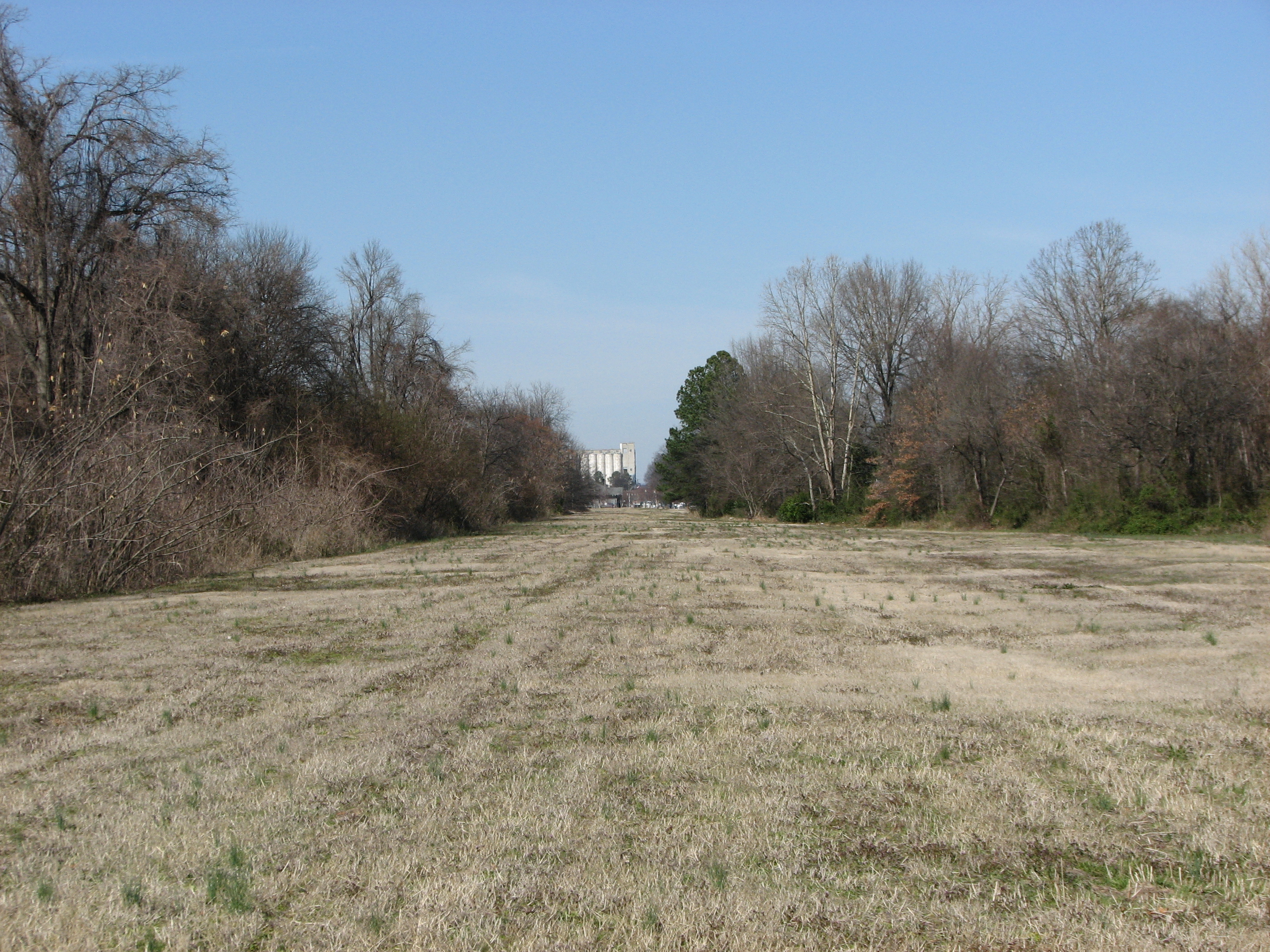
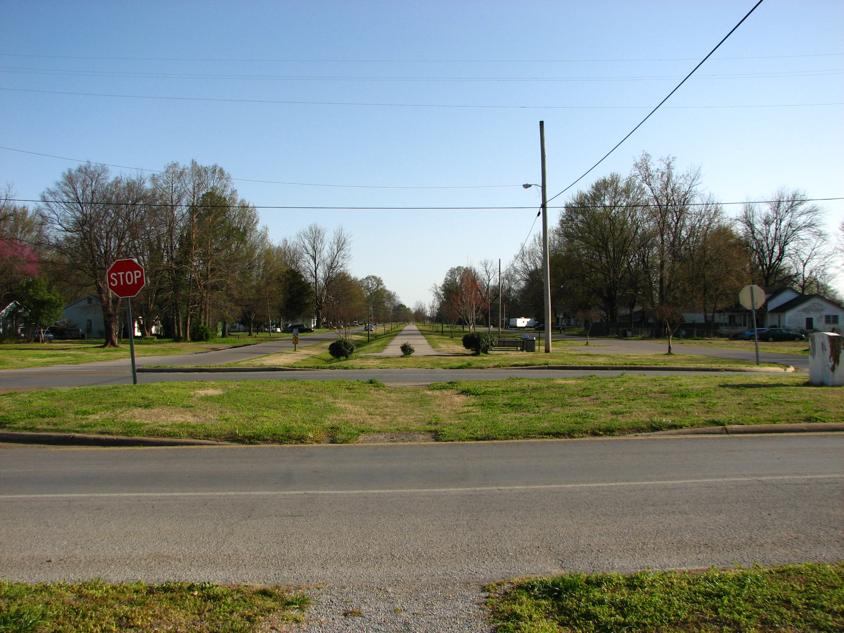
Grassy Right of Way
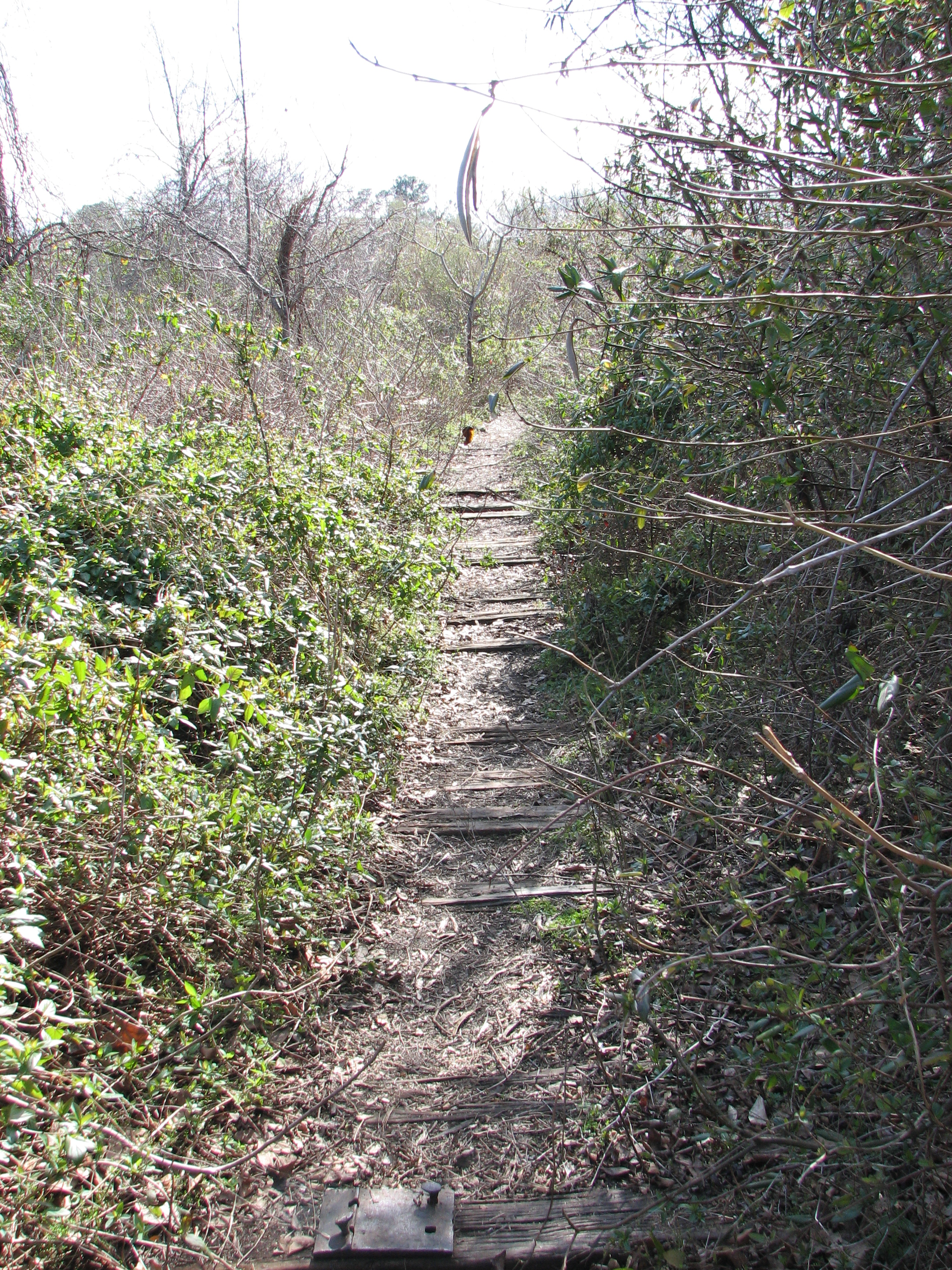
Abandoned Siding

Cleveland, MS Sunset

Cleveland, MS Sunset

Mississippi morning

_DSC0371_2_3.jpg

_DSC0422_HDR.jpg
Cleveland Turntable 2009.1

_DSC0367_8_9.jpg
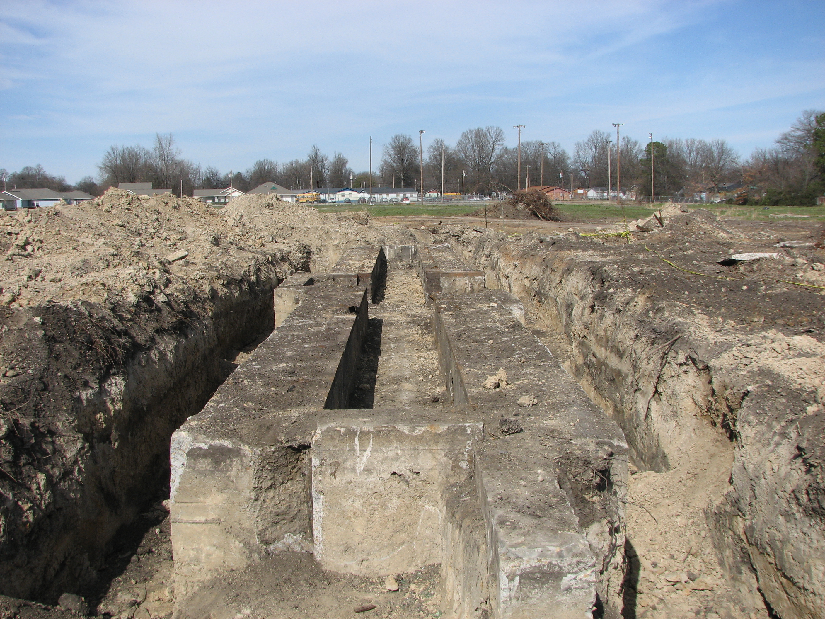
Old ICRR Railbed.2
Po' Monkey's Landscape

Sun and water, Dahomey NWR

SAFECON 2009 44

Flight Team Practice 10
Topographic Map of MS-, Boyle, MS, USA
Find elevation by address:

Places near MS-, Boyle, MS, USA:
Boyle
T M Jones Hwy, Boyle, MS, USA
Delta State University
214 S Bolivar Ave
Cleveland
Napanee Rd, Leland, MS, USA
Sunflower County
N Ruby Ave, Ruleville, MS, USA
Ruleville
Doddsville
6th Ave, Doddsville, MS, USA
243 Rexburg Rd
Indianola
Lee St, Indianola, MS, USA
54 Dunleith Rd, Leland, MS, USA
91 Holland Rd
Leland
119 Lilac Dr
Blaylock Rd, Greenville, MS, USA
3864 Us-82
Recent Searches:
- Elevation of Corso Fratelli Cairoli, 35, Macerata MC, Italy
- Elevation of Tallevast Rd, Sarasota, FL, USA
- Elevation of 4th St E, Sonoma, CA, USA
- Elevation of Black Hollow Rd, Pennsdale, PA, USA
- Elevation of Oakland Ave, Williamsport, PA, USA
- Elevation of Pedrógão Grande, Portugal
- Elevation of Klee Dr, Martinsburg, WV, USA
- Elevation of Via Roma, Pieranica CR, Italy
- Elevation of Tavkvetili Mountain, Georgia
- Elevation of Hartfords Bluff Cir, Mt Pleasant, SC, USA