Elevation of MS-9, Ackerman, MS, USA
Location: United States > Mississippi > Choctaw County > Ackerman >
Longitude: -89.193815
Latitude: 33.359542
Elevation: 189m / 620feet
Barometric Pressure: 99KPa
Elevation Map:
Satellite Map:
Related Photos:

Coming out of its shell
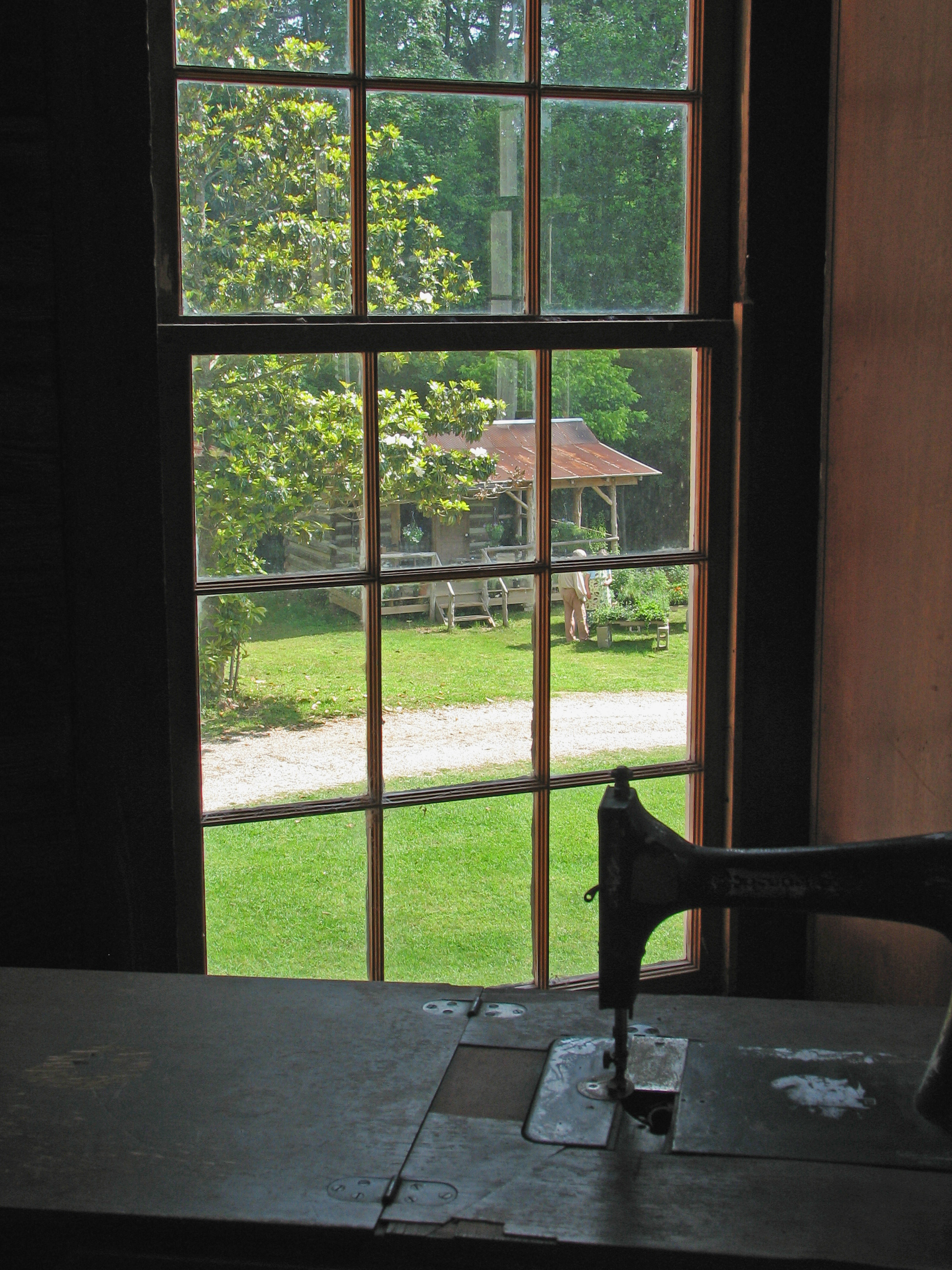
A stitch in time
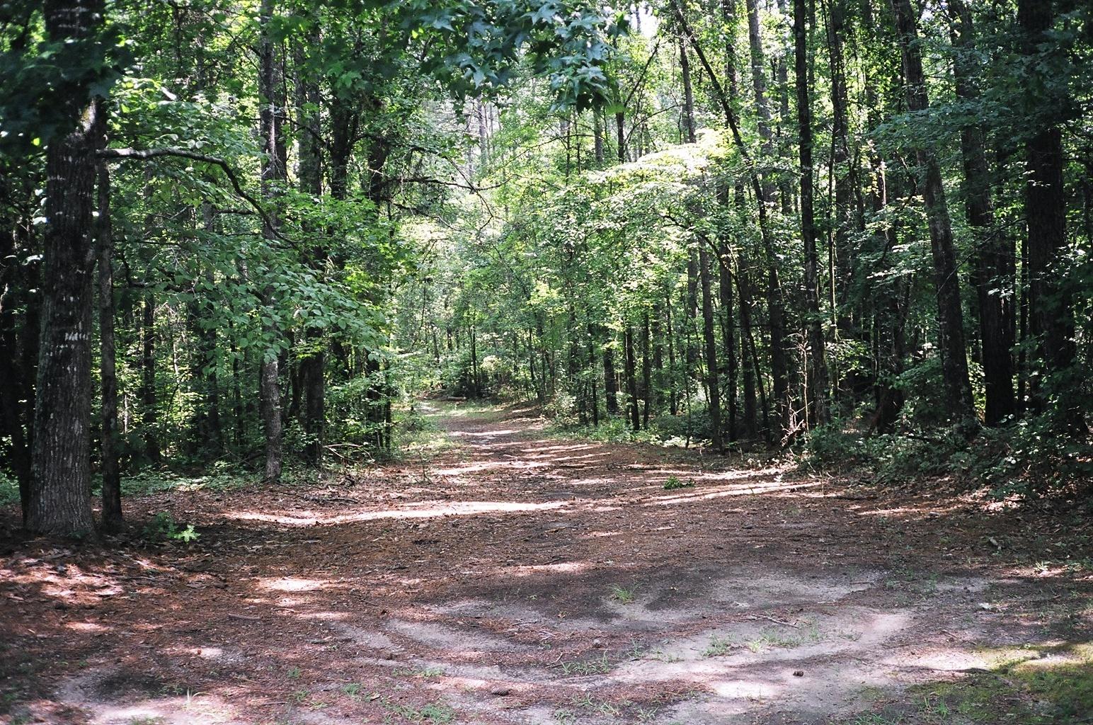
A view of the Old Trace looking north
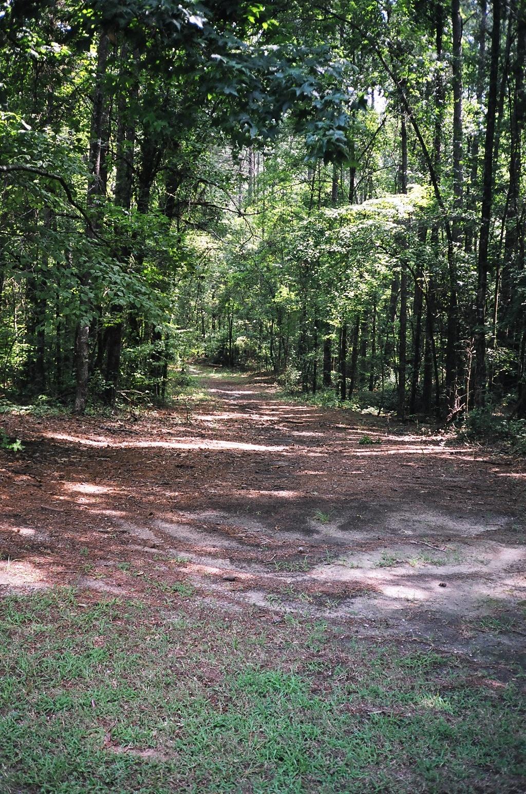
A southern view of the Old Trace

From the Natchez Trace

Choctaw Sunset

Little Mountain Trail - Natchez Trace, MS
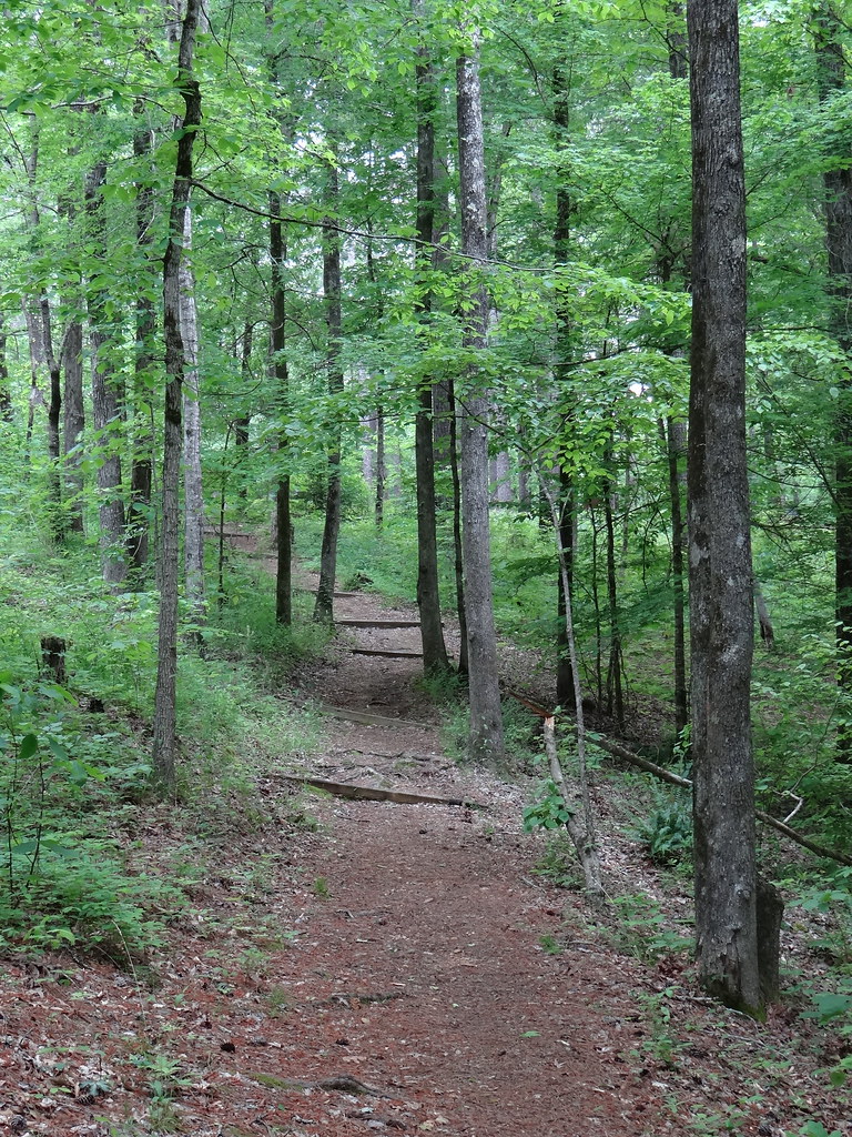
Little Mountain Trail - Natchez Trace, MS

Jeff Busby
Topographic Map of MS-9, Ackerman, MS, USA
Find elevation by address:

Places near MS-9, Ackerman, MS, USA:
1679 Ms-9
2510 Pensacola Rd
8613 Ms-12
10160 Ms-12
MS-, Ackerman, MS, USA
9027 Ms-15
11 Staten Rd, Ackerman, MS, USA
1133 Burney Rd
45 N Louisville St
Ackerman
6132 Chester Mills Rd
6130 Chester Mills Rd
MS-12, Ackerman, MS, USA
Choctaw County
Chester Mills Road
Weir
110 Ms-413
Highpoint-Weir Rd, Louisville, MS, USA
98 Lawrence Dr, Eupora, MS, USA
French Camp
Recent Searches:
- Elevation of Corso Fratelli Cairoli, 35, Macerata MC, Italy
- Elevation of Tallevast Rd, Sarasota, FL, USA
- Elevation of 4th St E, Sonoma, CA, USA
- Elevation of Black Hollow Rd, Pennsdale, PA, USA
- Elevation of Oakland Ave, Williamsport, PA, USA
- Elevation of Pedrógão Grande, Portugal
- Elevation of Klee Dr, Martinsburg, WV, USA
- Elevation of Via Roma, Pieranica CR, Italy
- Elevation of Tavkvetili Mountain, Georgia
- Elevation of Hartfords Bluff Cir, Mt Pleasant, SC, USA