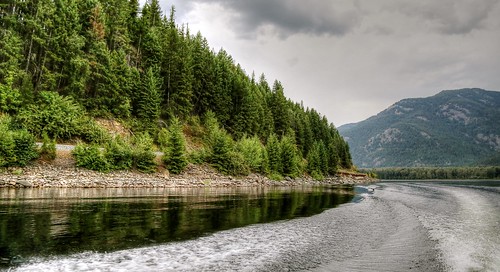
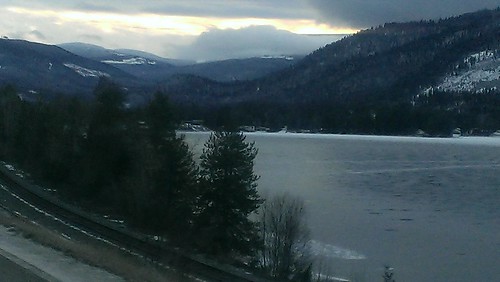
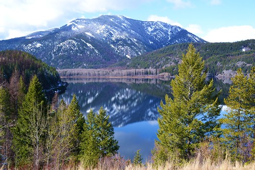
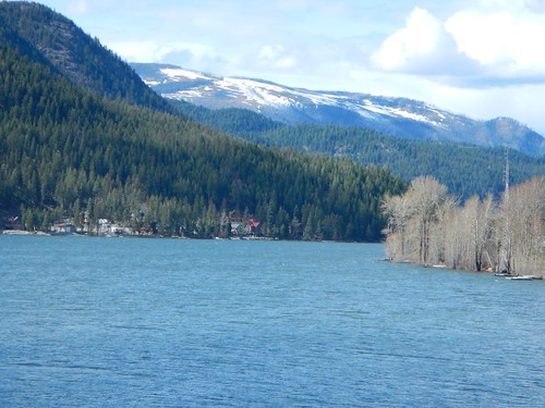
Elevation of Moyie, BC V0B, Canada
Location: Canada > British Columbia > East Kootenay > East Kootenay C >
Longitude: -115.83351
Latitude: 49.288053
Elevation: 939m / 3081feet
Barometric Pressure: 91KPa
Related Photos:
Topographic Map of Moyie, BC V0B, Canada
Find elevation by address:

Places near Moyie, BC V0B, Canada:
3240 Porto Rico Rd
3240 Porto Rico Rd
Moyie Lake
7203 Monroe Lake Rd
4316 Hilltop Crescent
V1c 5s9
New Lake
218 11 Ave S
15 Crowsnest Hwy
44 13 Ave S
Cranbrook
527 Briar Ave Nw
2009 Harris Rd
1564 Crowsnest Hwy
Willowbrook Drive
Willowbrook Drive
Willowbrook Drive
Willowbrook Drive
1401 Willowbrook Dr #15
1401 Willowbrook Dr #15
Recent Searches:
- Elevation of Corso Fratelli Cairoli, 35, Macerata MC, Italy
- Elevation of Tallevast Rd, Sarasota, FL, USA
- Elevation of 4th St E, Sonoma, CA, USA
- Elevation of Black Hollow Rd, Pennsdale, PA, USA
- Elevation of Oakland Ave, Williamsport, PA, USA
- Elevation of Pedrógão Grande, Portugal
- Elevation of Klee Dr, Martinsburg, WV, USA
- Elevation of Via Roma, Pieranica CR, Italy
- Elevation of Tavkvetili Mountain, Georgia
- Elevation of Hartfords Bluff Cir, Mt Pleasant, SC, USA
