Elevation of Mountain Rd, Cedar Bluff, VA, USA
Location: United States > Virginia > Russell County > Lebanon >
Longitude: -81.839462
Latitude: 36.9787328
Elevation: 713m / 2339feet
Barometric Pressure: 93KPa
Elevation Map:
Satellite Map:
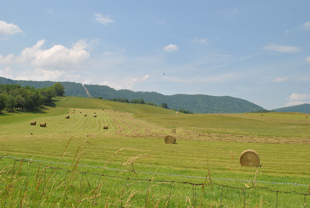
Related Photos:
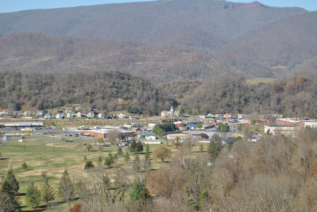
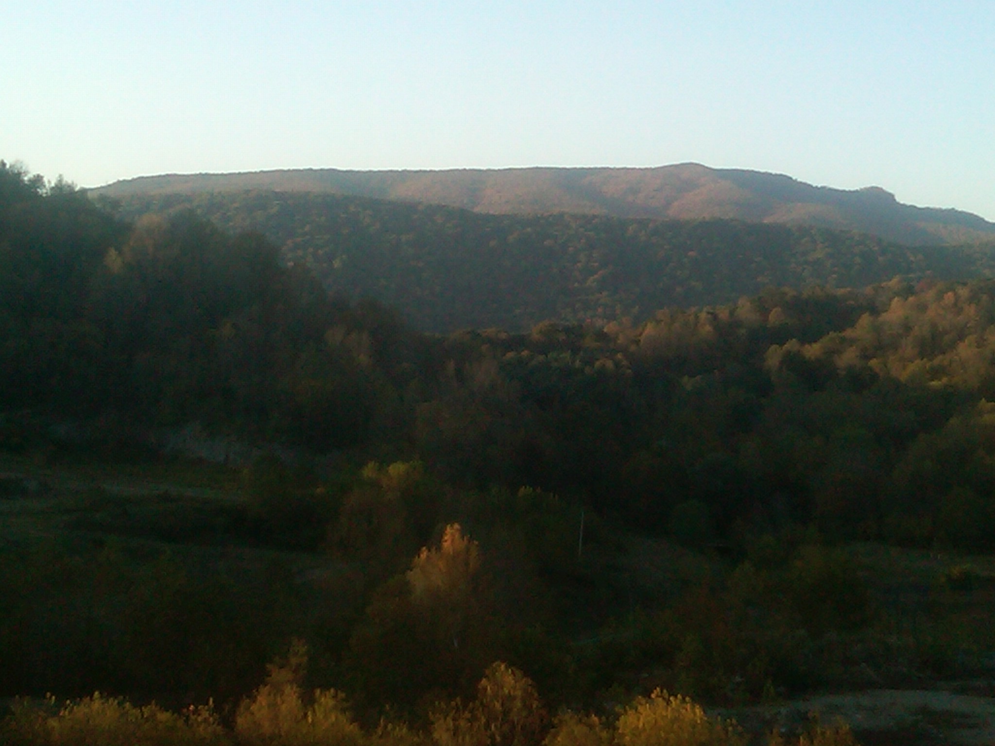
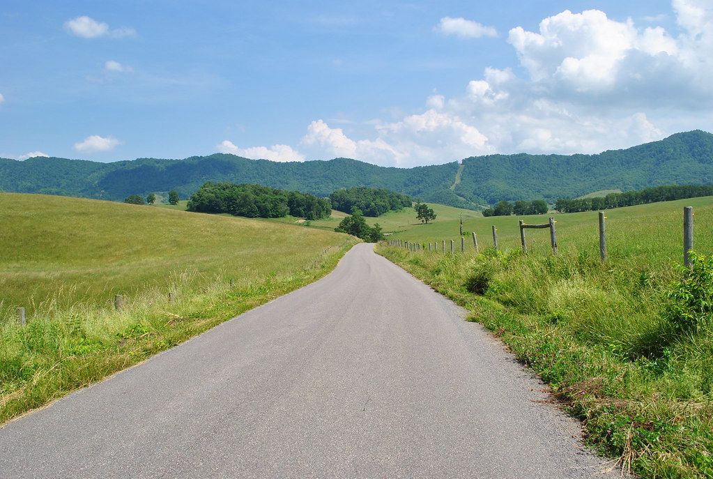
SALTVILLE OVERLOOK
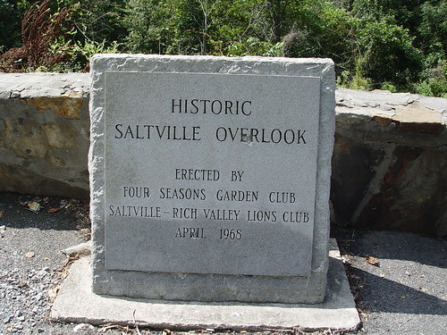
SALTVILLE OVERLOOK
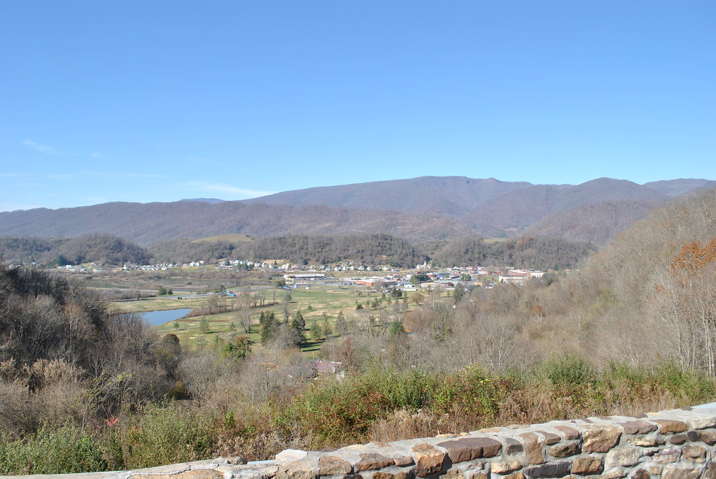
SALTVILLE OVERLOOK

Nearly 80° on Halloween Eve. Of course I'm going for a walk! #halloween #happyhalloween #halloweekend #walkinthepark #sundayafternoon #october #appalachia #autumn #autumnleaves #swva #perfectweather #exercise #tazewellcounty #virginia
Brought to You By The Letter 'S'
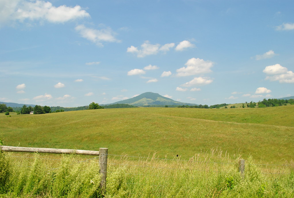
THE COVE
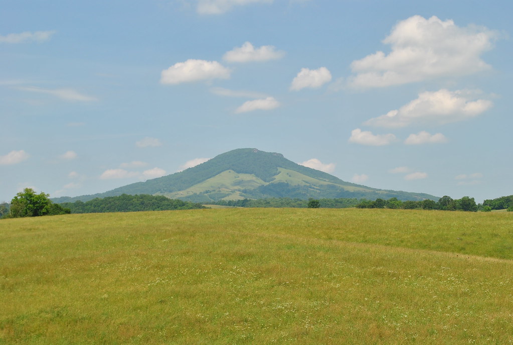
THE COVE
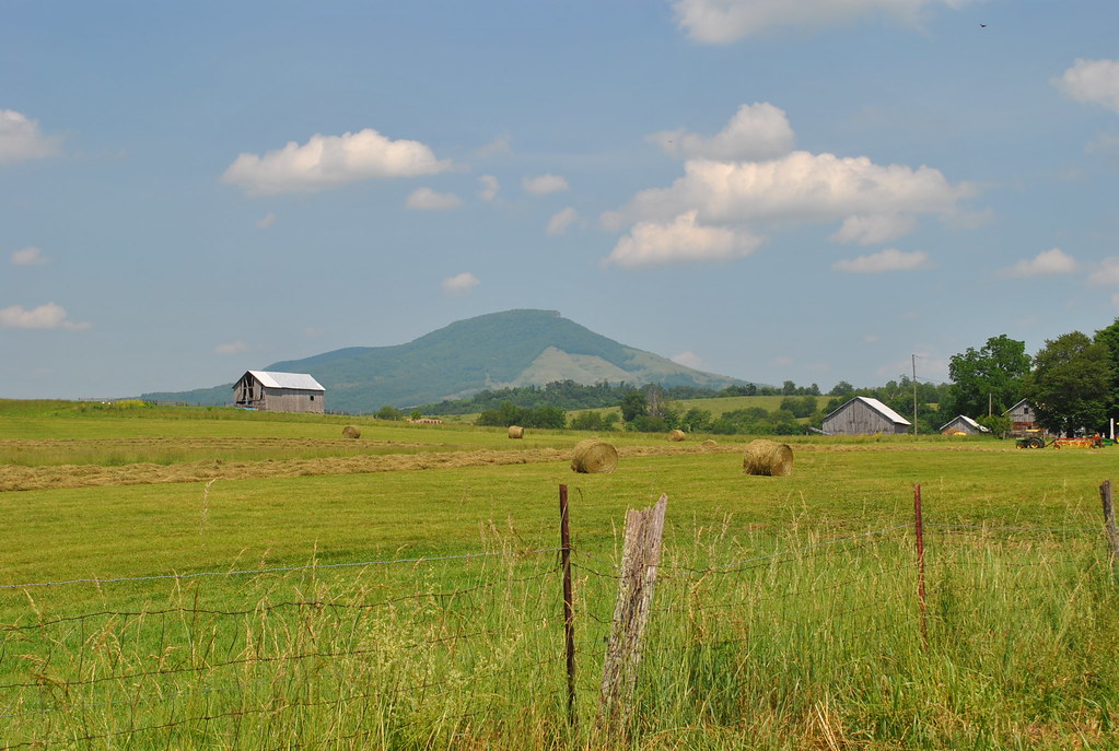
THE COVE
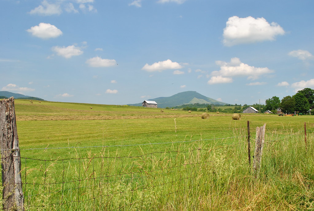
THE COVE
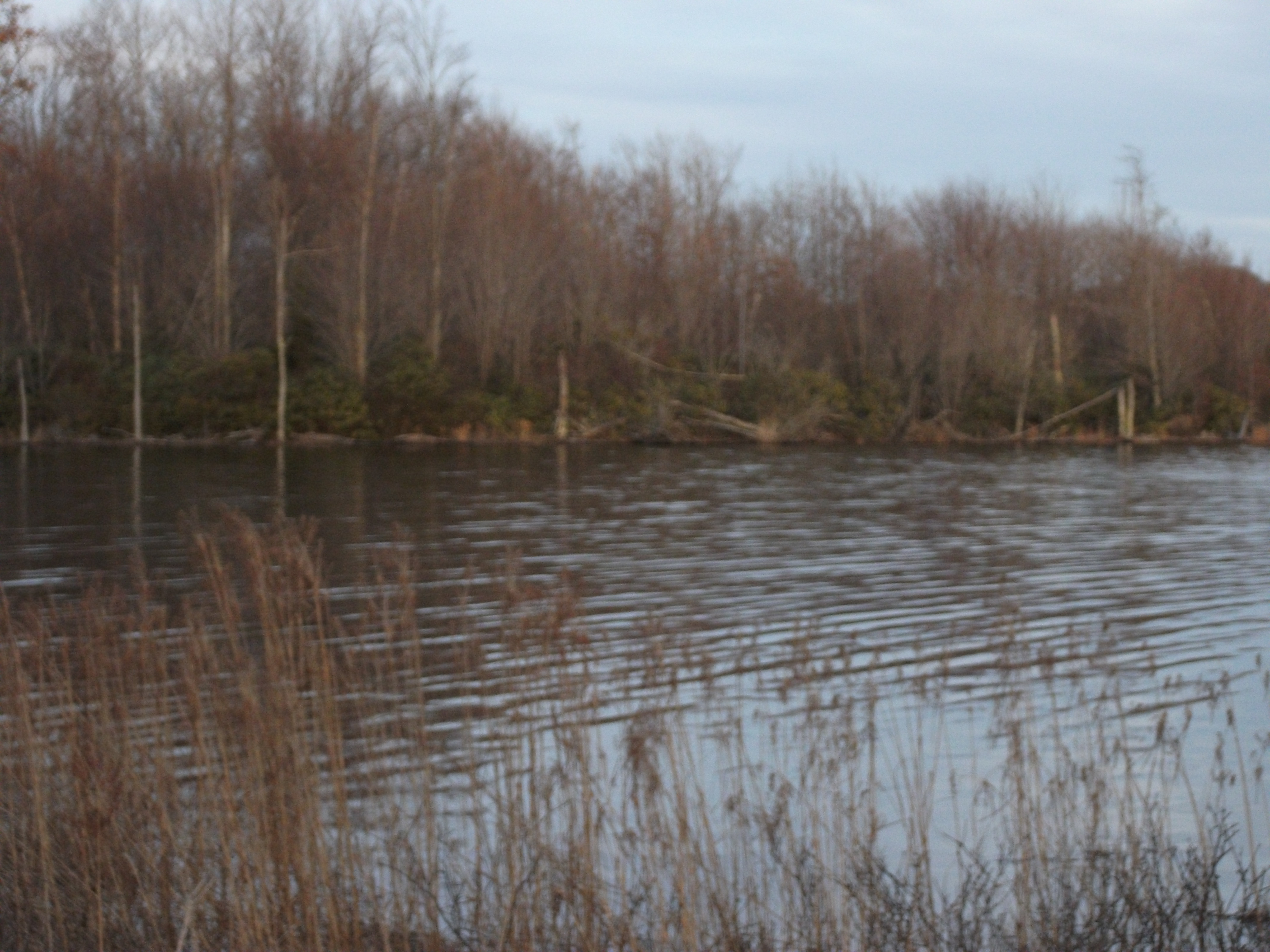
Laurel Bed Lake
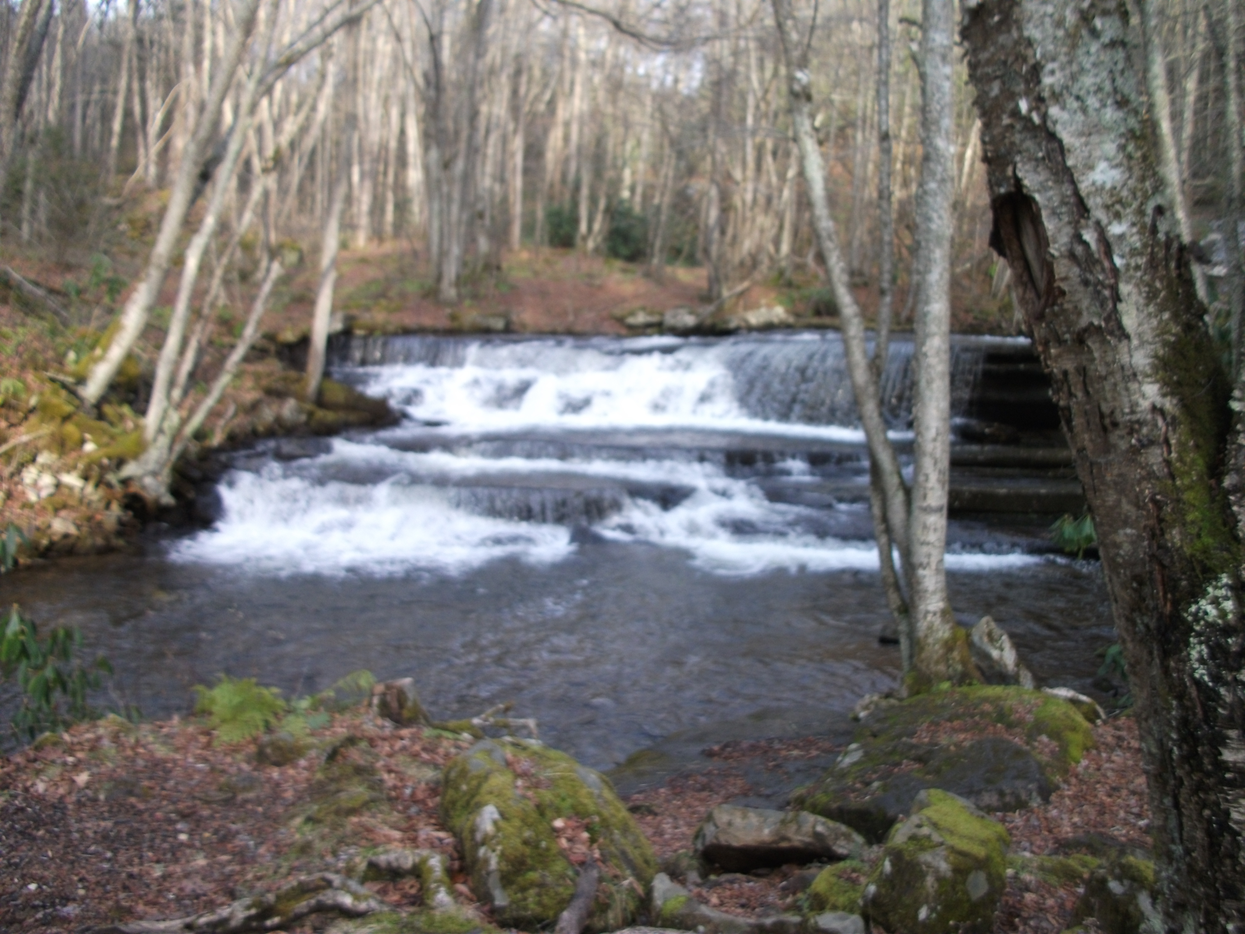
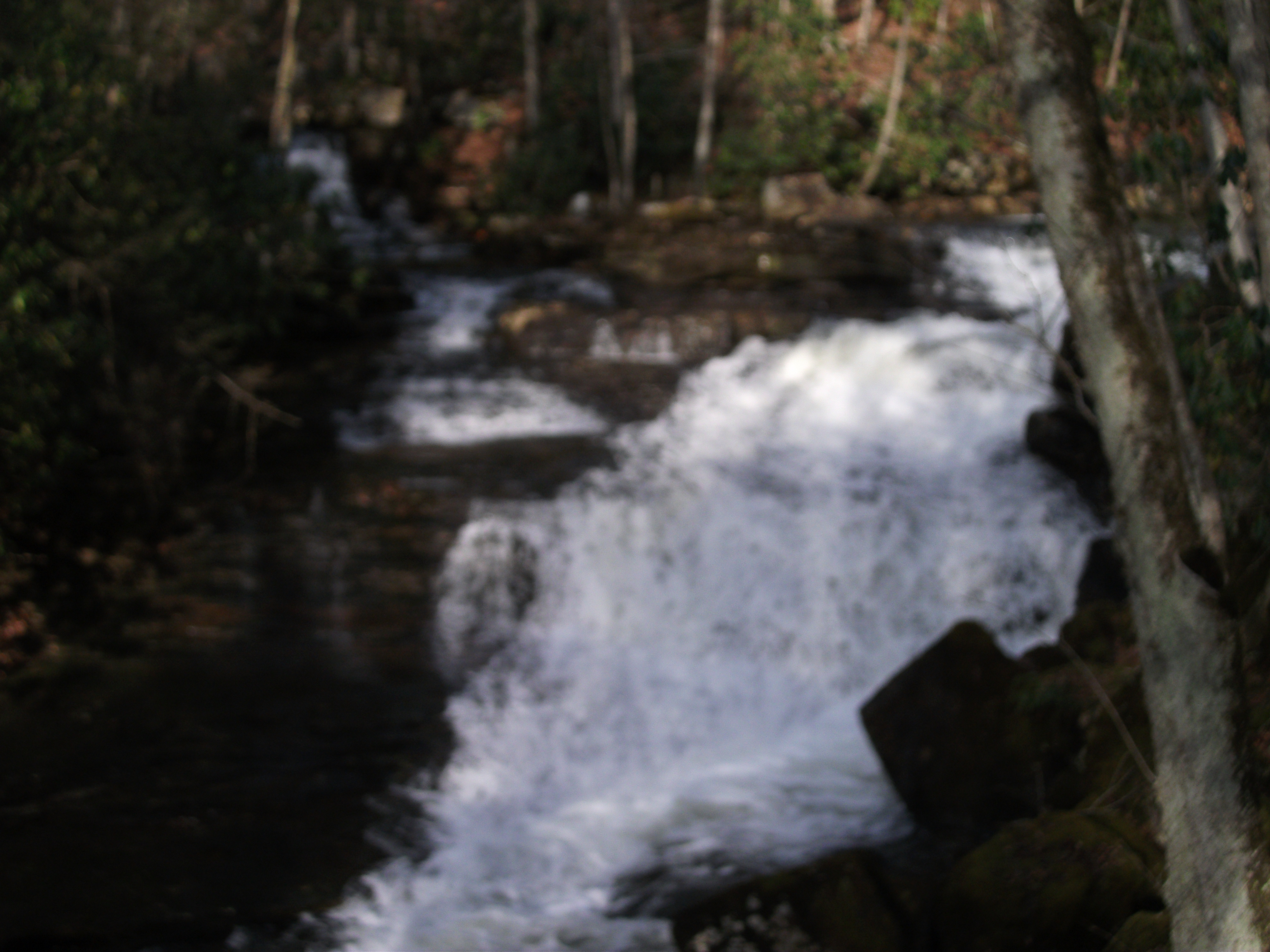
Little Tumbling Falls
Twin Hollow Falls
IMG00299-20101010-1814
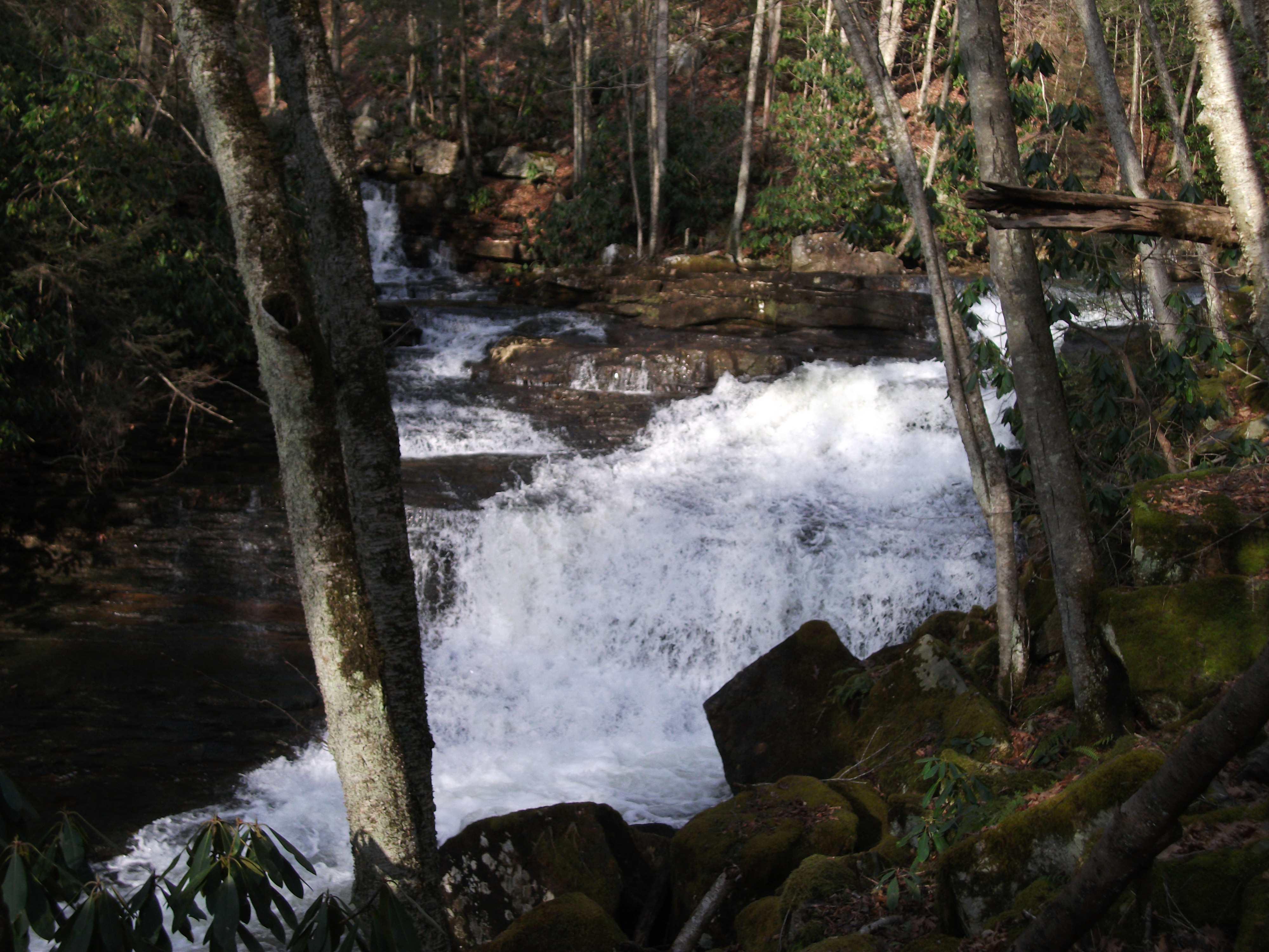
Twin Hollow Falls
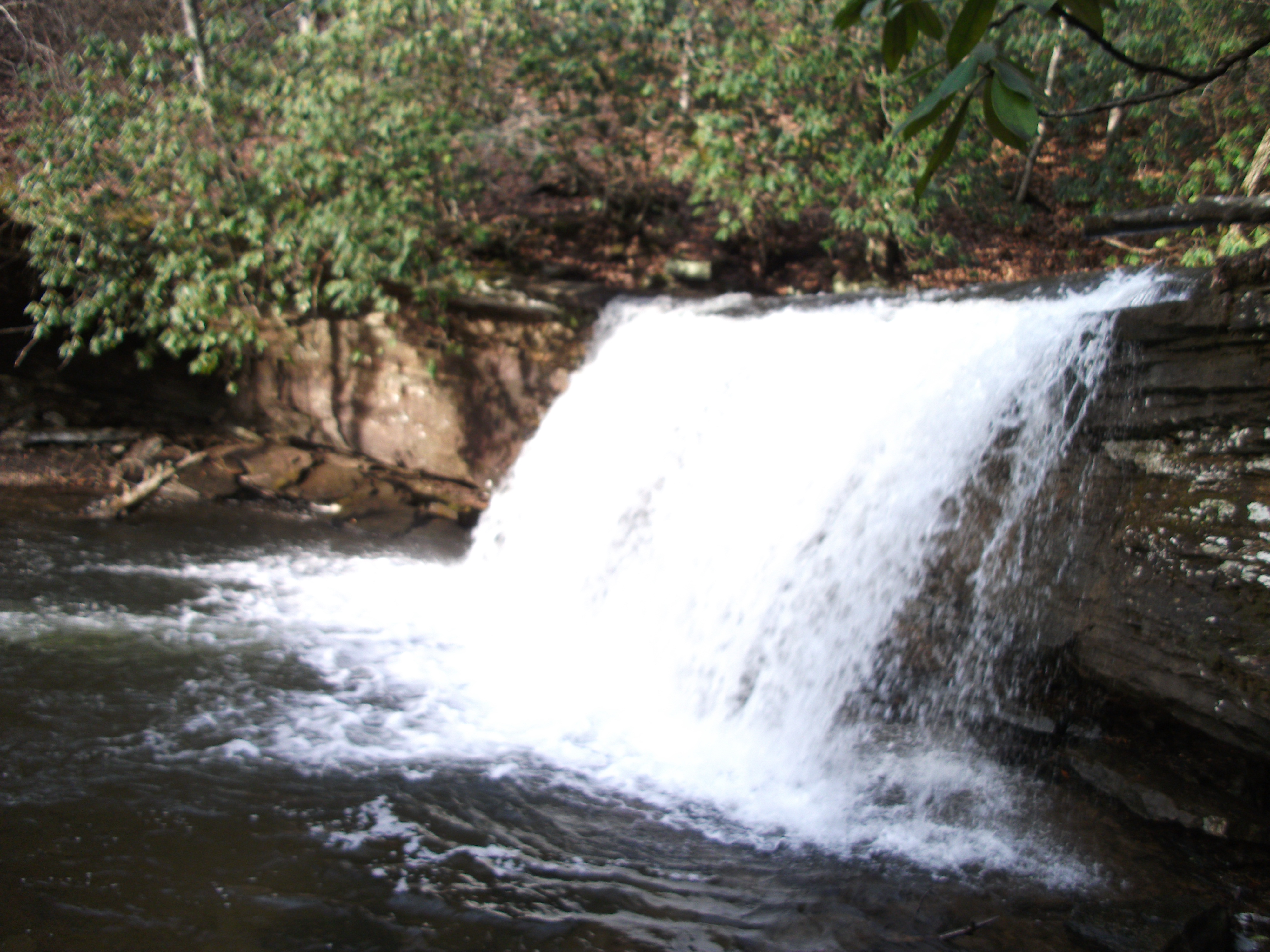
Little Tumbling Falls
Twin Hollow Falls
THE COVE
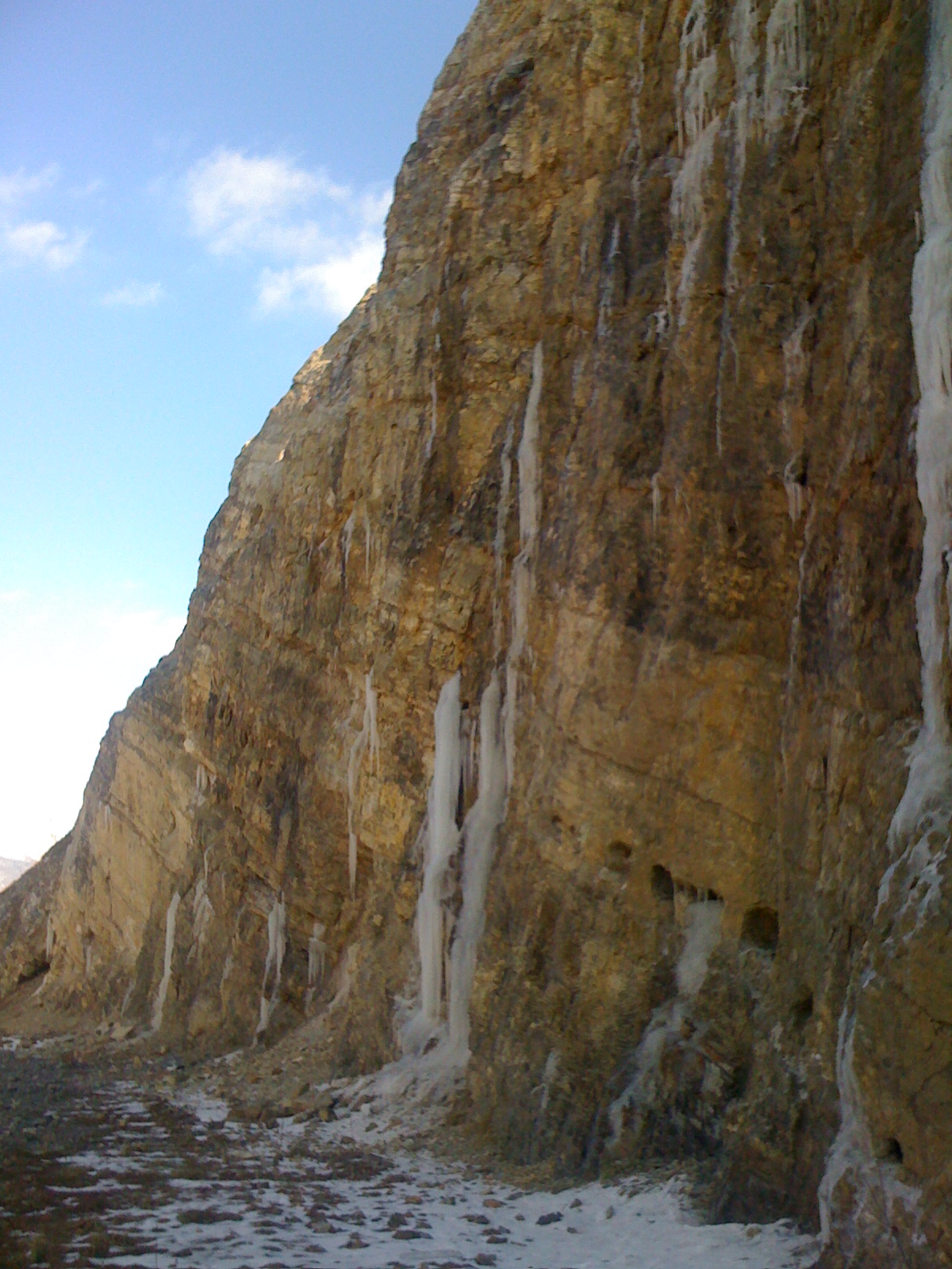
Icicle Waterfalls in Saltville, Virginia
THE COVE
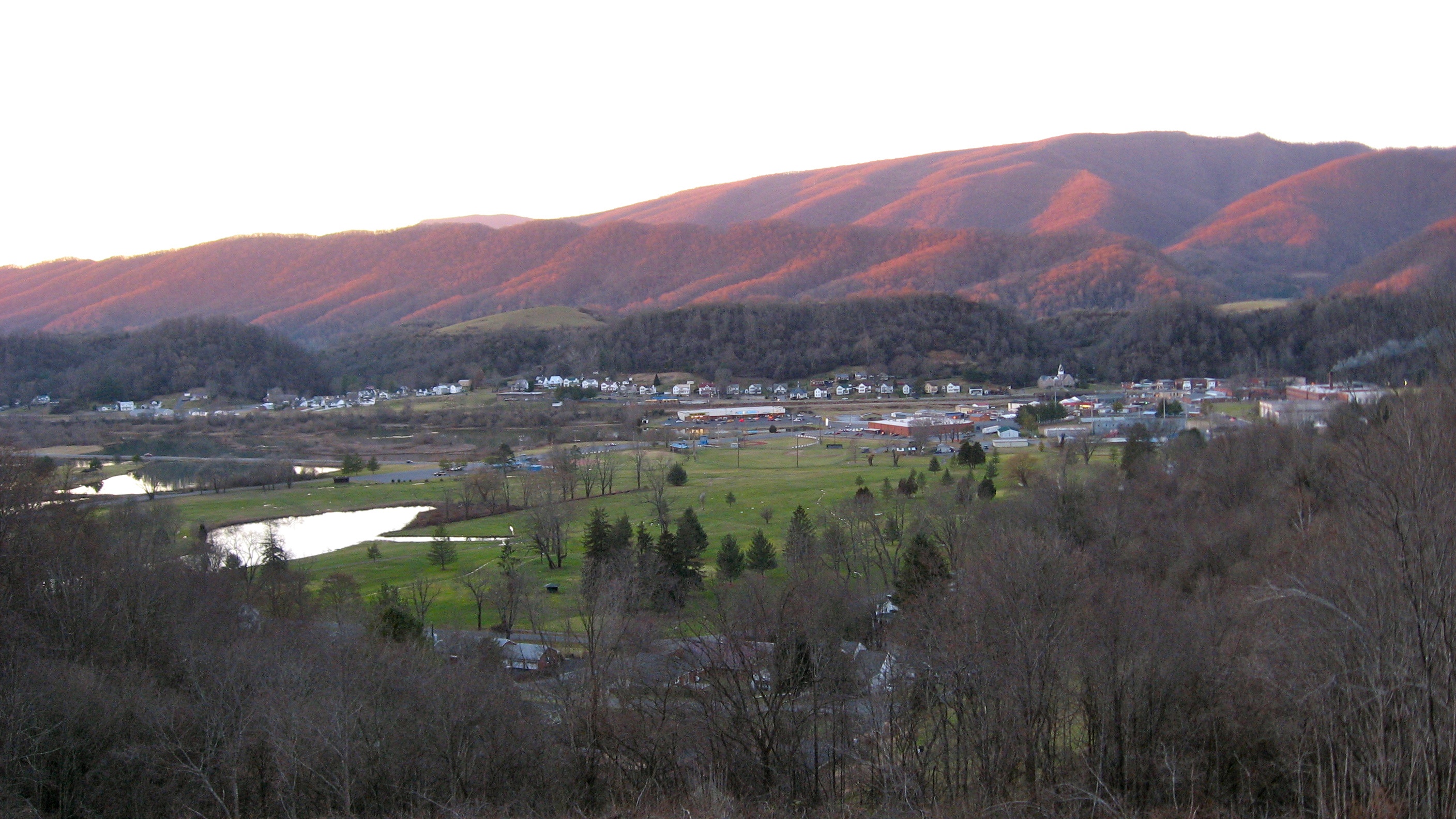
Sun setting on Saltville.
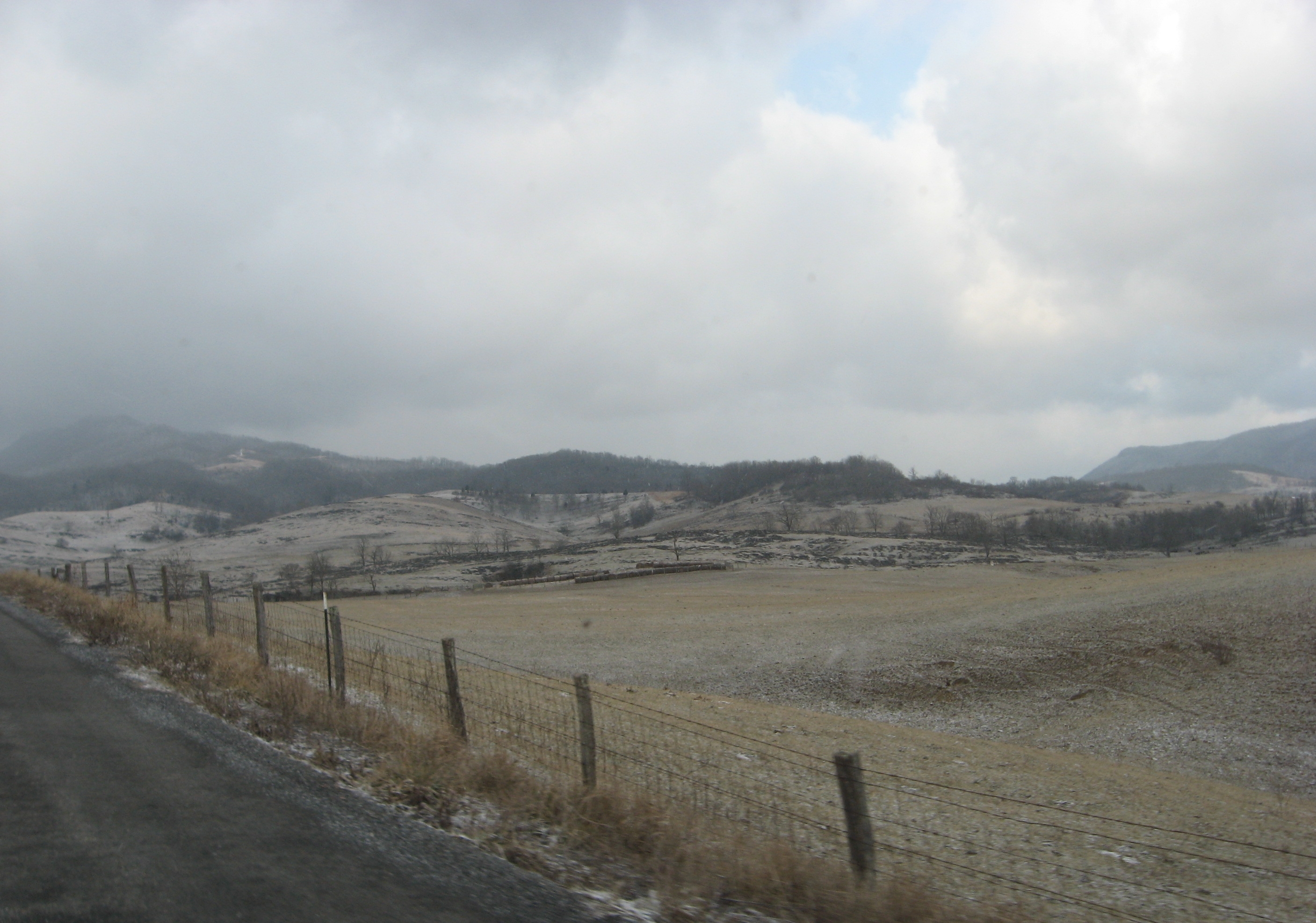
Crazy weather
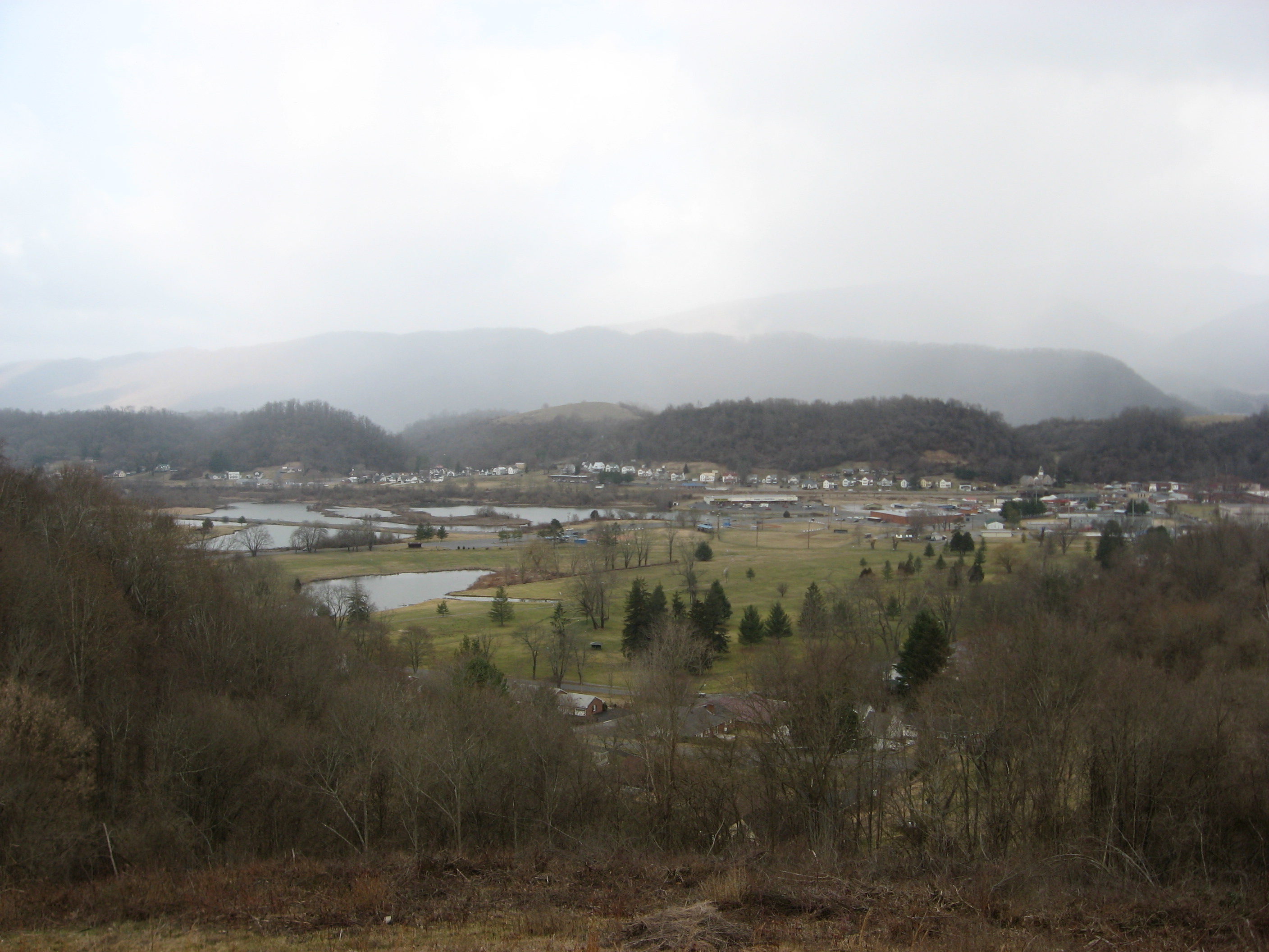
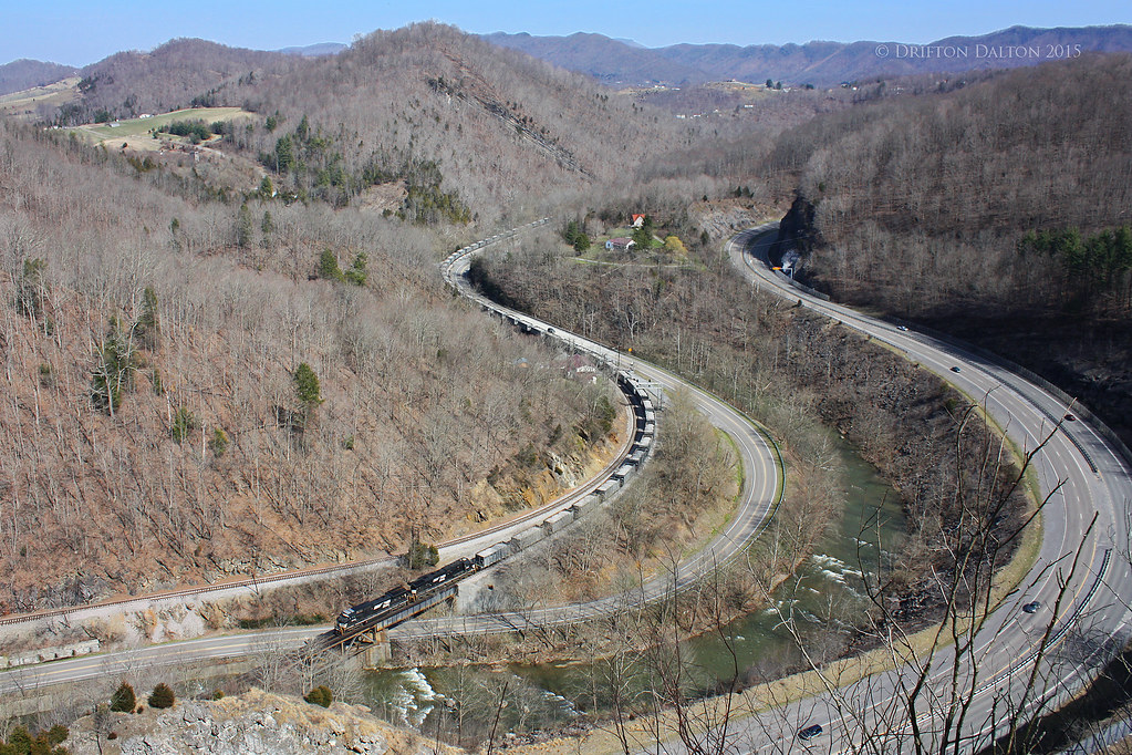
Saltville from 107N
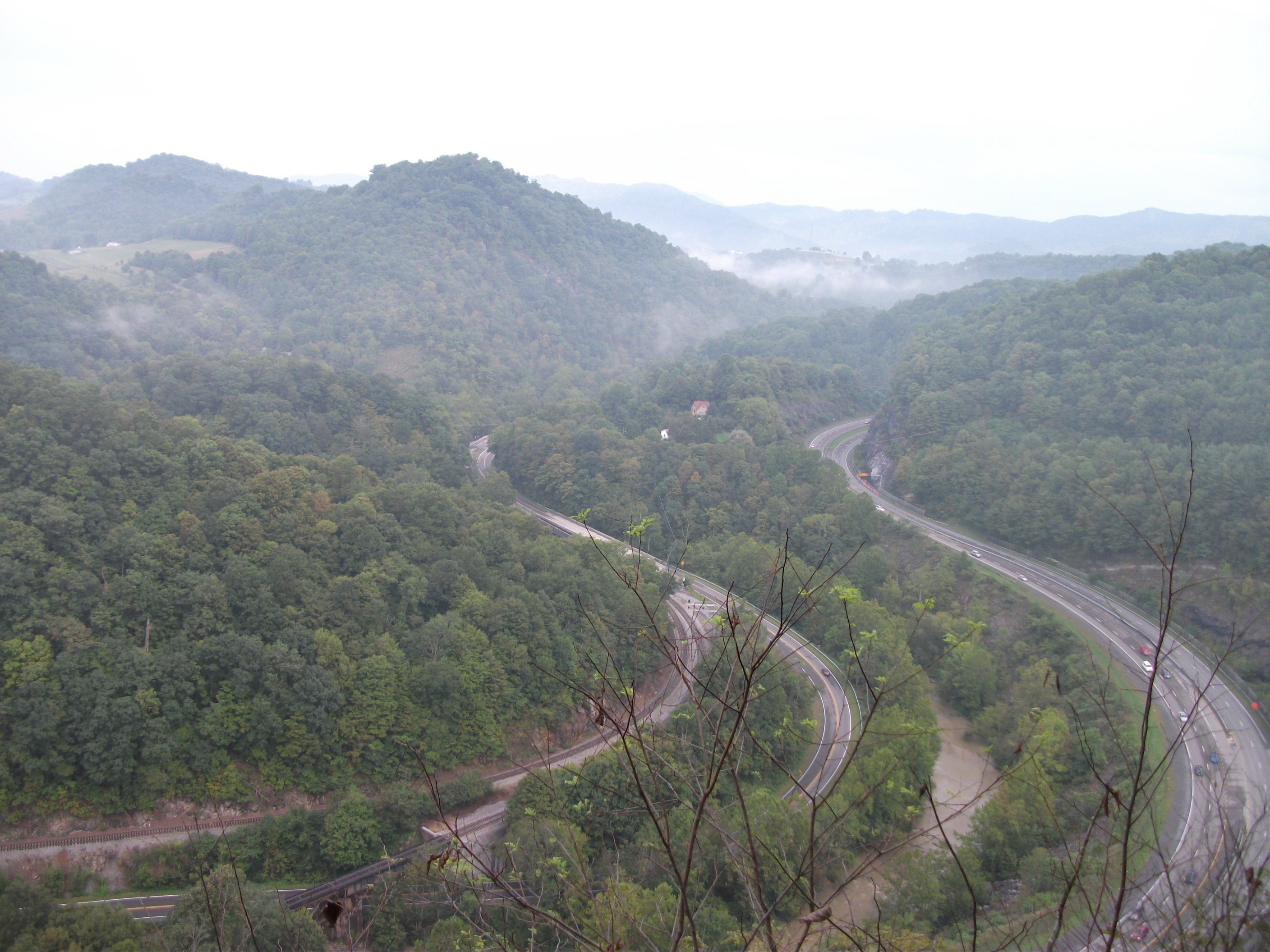
Cedar Bluff Overlook
Topographic Map of Mountain Rd, Cedar Bluff, VA, USA
Find elevation by address:

Places near Mountain Rd, Cedar Bluff, VA, USA:
359 Music Fest Rd
Cedar Bluff, VA, USA
State Route 738 & Pleasant Valley Road
Country Farms Road
1869 Midway Rd
541 Plantation Dr
1795 Allison Gap Rd
1795 Allison Gap Rd
1795 Co Rd 613
Parkway St, Cedar Bluff, VA, USA
Westmont Rd, Raven, VA, USA
Raven
K And L Inc
Swords Creek, VA, USA
510 North St
Claypool Hill
Elkins Branch Road
Governor George C Peery Hwy, Pounding Mill, VA, USA
Western
224 Old Kentucky Turnpike
Recent Searches:
- Elevation of Corso Fratelli Cairoli, 35, Macerata MC, Italy
- Elevation of Tallevast Rd, Sarasota, FL, USA
- Elevation of 4th St E, Sonoma, CA, USA
- Elevation of Black Hollow Rd, Pennsdale, PA, USA
- Elevation of Oakland Ave, Williamsport, PA, USA
- Elevation of Pedrógão Grande, Portugal
- Elevation of Klee Dr, Martinsburg, WV, USA
- Elevation of Via Roma, Pieranica CR, Italy
- Elevation of Tavkvetili Mountain, Georgia
- Elevation of Hartfords Bluff Cir, Mt Pleasant, SC, USA